
White Point
San Pedro · Los Angeles County · California


Did you dive today?Please share the visibility to make our algorithm more accurate.
Report visibility
Today's forecast
Updated 6:06 AM PT today · July 28, 2026Dawn is the clearest window — onshore wind picks up by late morning and surface chop stirs the bottom through the afternoon.
7-Day Forecast
Map · getting there
33.714° N · 118.317° WSan Pedro, CA 90731
 Open in Google Maps
 Open in Apple Maps
About White Point
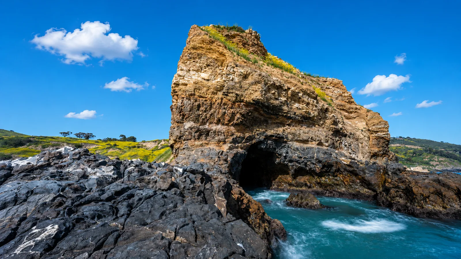
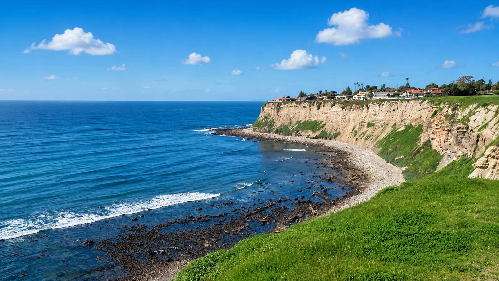
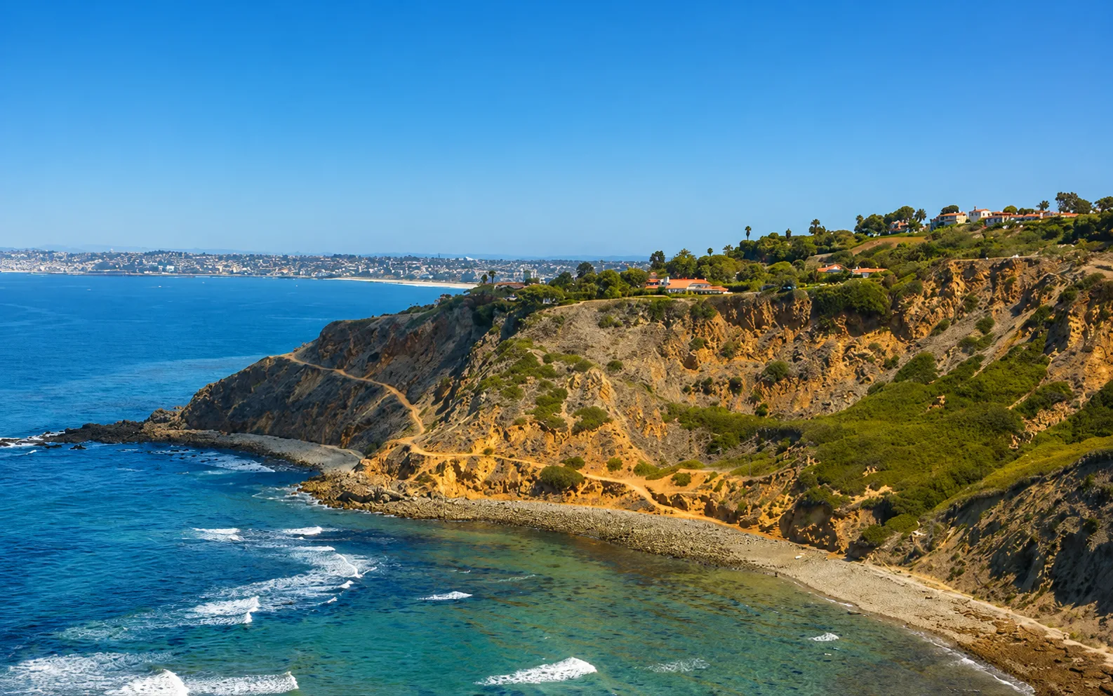
White Point is a small pocket cove at the base of the San Pedro bluffs in Los Angeles County, tucked between Point Fermin to the east and the Portuguese Bend stretch to the west. The name comes from the low, chalky headland just west of the cove. The cove faces south-southeast and sits partly in the lee of the Palos Verdes Peninsula, which blunts the largest west swells but leaves the beach open to south and southeast wind and swell. The substrate at the water line is cobble and loose rock, with no continuous sand, and finger reefs extend seaward from about 15 feet down to 35 feet. What sets the spot apart is the switchback road that drops off Paseo del Mar to a beach-level lot, the only shore-dive access on this stretch of the Palos Verdes coast where a diver can drive gear to the water rather than carry it down from a bluff. The cove has a second distinctive feature underwater. Warm sulfur seeps from the old hot springs reach the shallows in patches, and marine life is noticeably thinner directly over the vents than at Royal Palms Beach a few hundred yards to the east, where no vents surface.
The site has a documented history that reaches back to the 1890s Japanese abalone fishery and cannery that operated here until about 1905. In 1917, the Tagami brothers and Ramon Sepulveda opened the White Point Hot Springs Hotel around those same sulfur springs, building a two-story hotel, restaurant, three saltwater plunges, and a ballroom. The resort did not last long. The 1933 Long Beach earthquake damaged the buildings and disrupted the spring, and it closed that year. Concrete walls of the hotel swimming pool remain visible in the surf zone at low tide.
The offshore finger reefs make this a rocky reef biome, most productive on the east side of the cove. The reef also supports a kelp forest biome, though density fluctuates year to year with warm-water events and urchin barrens. Cobble and boulder shoreline exposed by the tide holds a well-documented tidepool biome. Where surf breaks over the rocky cobble at the shoreline, the entry itself is a surf zone biome.
Access is through the paid Los Angeles County lot at the foot of the switchback off Paseo del Mar, open dawn to 8:30 p.m., with a roughly $2 early-bird rate before 9 a.m. and about $6 to $7 all day. Street parking is available on Paseo del Mar above. The site is under active construction from 2026 through 2028 for the LA County Sanitation Clearwater Tunnel project and a park renovation, and parking is reduced and restrooms relocated during that period. The entry is rocky and slippery, and low tide leaves rocks exposed, so most divers time entries around a higher tide with light surf. Scuba divers and freedivers tend to work the east-side finger reefs, while snorkelers and tidepoolers stay in the cobble shallows on calmer days. The Joint Water Pollution Control Plant outfall lies offshore, and bacterial counts rise after rain; the Palos Verdes Shelf also carries documented DDT sediment contamination from a mid-twentieth-century discharge, and consumption advisories apply to some local bottomfish. White Point sits outside any marine protected area, so fishing and spearfishing are legal under standard California regulations, though tidepool take is protected and has drawn California Department of Fish and Wildlife enforcement here in recent years.

Rocky Reef
The rocky reef biome is bare rock, boulder, and cobble structure without a kelp canopy above it. The hard relief and its crevices shelter invertebrates and reef fish, and the structure concentrates life that the surrounding sand cannot hold. Learn more about this biome and the species found in it by clicking the link below.
Learn more in the Biome Glossary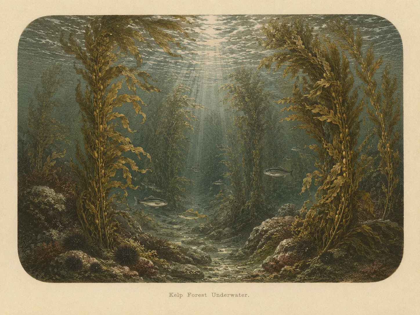
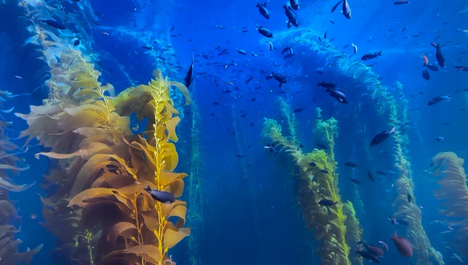
Kelp Forest
The kelp forest biome is giant kelp anchored to rocky bottom and growing up through the water column. The canopy and stipes form a three-dimensional habitat that shelters fish, invertebrates, and the predators that hunt them. Learn more about this biome and the species found in it by clicking the link below.
Learn more in the Biome Glossary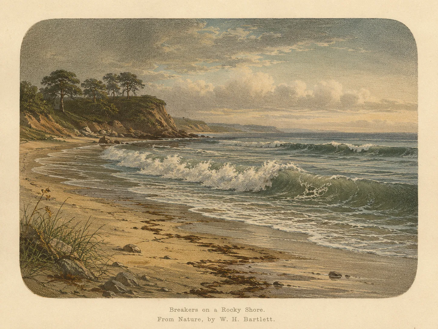
Surf Zone
The surf zone biome consists of sandy beaches and breaking waves. The action of surf disturbing the sand and kicking it up exposes marine invertebrates, buried in their shallow dens. This natural exposure of invertebrates attracts all kinds of fish, looking for an easy meal. Learn more about this biome and the species found in it by clicking the link below.
Learn more in the Biome GlossaryTarget Fish Species
Nearby beaches
 Ocean Oracle Pro
Gain the Power
of the Oracle.
Ocean Oracle sees the future. Get 7-day visibility forecasts for every beach, plus alerts the night before clarity peaks — so you never miss a prime day.
Free shows you what the ocean looks like today. Ocean Oracle shows you the week ahead and the fish waiting for you down there.
Visibility predictions for the entire week ahead at any beach. Plan dives, schedule charters, book trips — without guessing.
The night before any beach hits prime conditions, Ocean Oracle pings your phone. Wake up knowing exactly where to go.
Track your favorite beaches in one place. Forecasts and alerts for everywhere you dive.
For every beach: what species are there, when they show up, and how to target them. Built by spearos, for spearos.
See the future. Dive on the right days.