
Lunada Bay
Palos Verdes Estates · Los Angeles County · California


Did you dive today?Please share the visibility to make our algorithm more accurate.
Report visibility

Today's forecast
Updated 6:06 AM PT today · July 28, 2026The clarity holds through the day, with a light afternoon onshore the only disturbance to the entry shallows.
7-Day Forecast
Map · getting there
33.771° N · 118.425° WPalos Verdes Estates, CA 90274
 Open in Google Maps
 Open in Apple Maps
About Lunada Bay
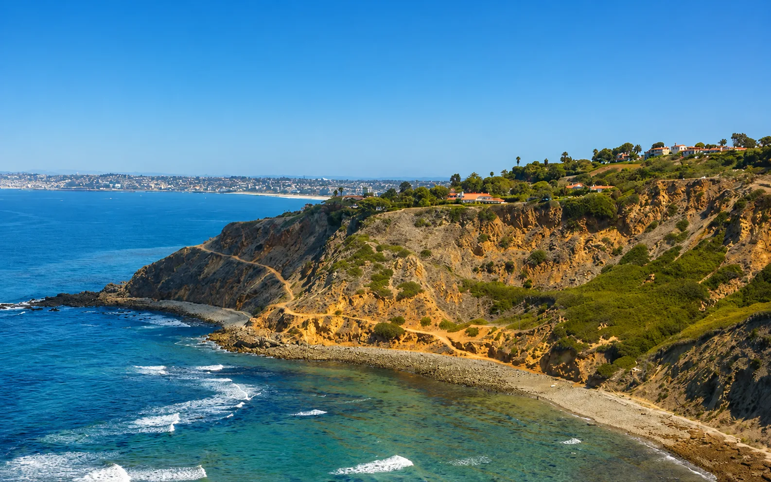
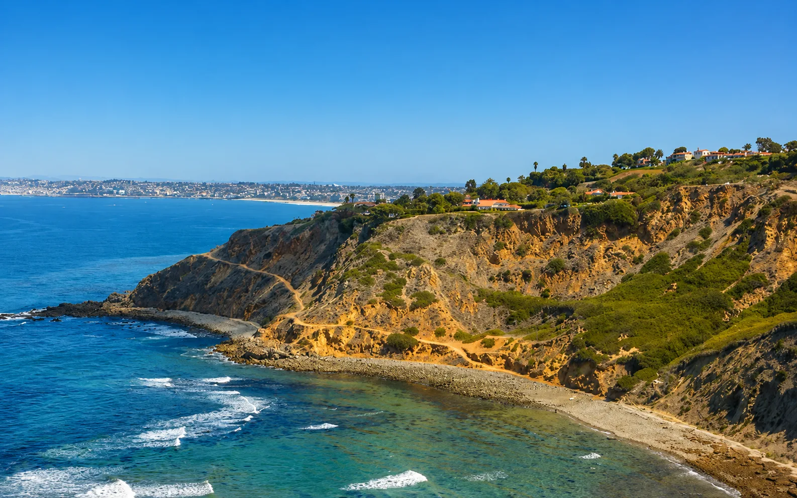
Lunada Bay sits below the tall bluffs of Palos Verdes Estates, bounded on the north by Rocky Point and on the south by Resort Point. Its shoreline is cobble and boulder with no sand, and the water breaks over a submerged rocky reef that lines the length of the cove. The main feature is a right-hand point break. It wakes up around 6 feet and holds up to 20 feet on winter northwest and west swell, with a secondary peak called Truck Drivers behind the main peak on northerly swells. Open to the northwest and west, the cove is very exposed on winter storms, and a rip has been documented pulling toward the pocket and the rocks when the surf is large.
The bay carries a long documented history of surf localism. A group known as the Lunada Bay Boys enforced access restrictions on non-local surfers from the 1970s onward, and in March 2016 two surfers sued twelve individuals and the City of Palos Verdes Estates under the California Coastal Act, arguing that harassment amounted to illegal development limiting coastal access. The same year, an unpermitted stone shoreline structure the group had built was demolished after Coastal Commission action. Between 2023 and 2024, thirteen individual defendants settled for sums ranging from twenty-five to ninety thousand dollars and stay-away terms. In September 2024, the city itself settled, agreeing to install welcoming signage, improve the access path, remove unpermitted shoreline structures, train staff on coastal access, and pay plaintiff attorney fees. Additional unpermitted materials were removed in April 2025.
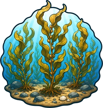
The reef breaking through the cove and the boulder shoreline make Lunada Bay a surf zone biome. That same rocky cobble bottom, extending offshore, forms a rocky reef biome, where sheephead and calico bass are documented. Kelp lines the coves along this stretch of Palos Verdes, and the offshore canopy over the reef adds a kelp forest biome.
Access is from the bluff top along Paseo del Mar, with free residential street parking near Yarmouth Road, Oakley Road, and Avenida Mirola. There is no lot, no restrooms, and no facilities, and the descent to the water is a steep, exposed, ungraded scramble down the bluff. The parking shoulder fills on winter swell mornings. Spearfishing and freediving are the main in-water pursuits on the reef, with shore fishing along the cobble, though the bay is better known for surfing and for a long history of hostility toward non-locals that persists despite the court-ordered access improvements. Lunada Bay sits outside all Palos Verdes marine protected areas, with the Point Vicente State Marine Conservation Area boundary about 1.5 nautical miles to the south, so fishing and spearfishing are legal here under standard California regulations.
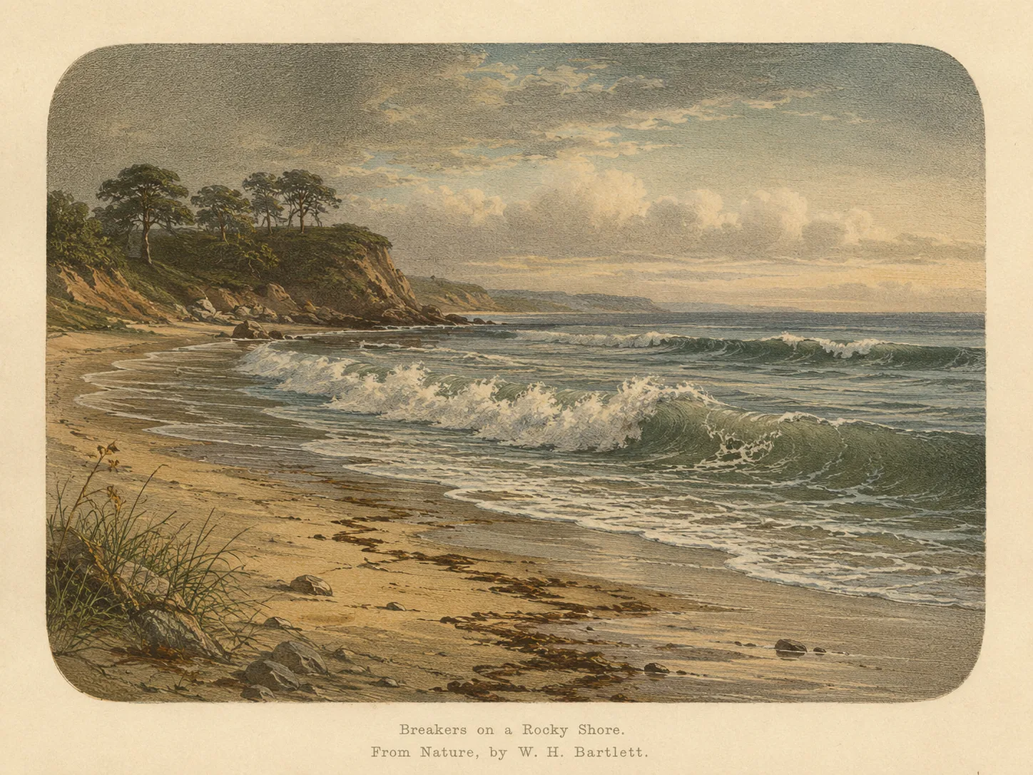
Surf Zone
The surf zone biome consists of sandy beaches and breaking waves. The action of surf disturbing the sand and kicking it up exposes marine invertebrates, buried in their shallow dens. This natural exposure of invertebrates attracts all kinds of fish, looking for an easy meal. Learn more about this biome and the species found in it by clicking the link below.
Learn more in the Biome Glossary
Rocky Reef
The rocky reef biome is bare rock, boulder, and cobble structure without a kelp canopy above it. The hard relief and its crevices shelter invertebrates and reef fish, and the structure concentrates life that the surrounding sand cannot hold. Learn more about this biome and the species found in it by clicking the link below.
Learn more in the Biome Glossary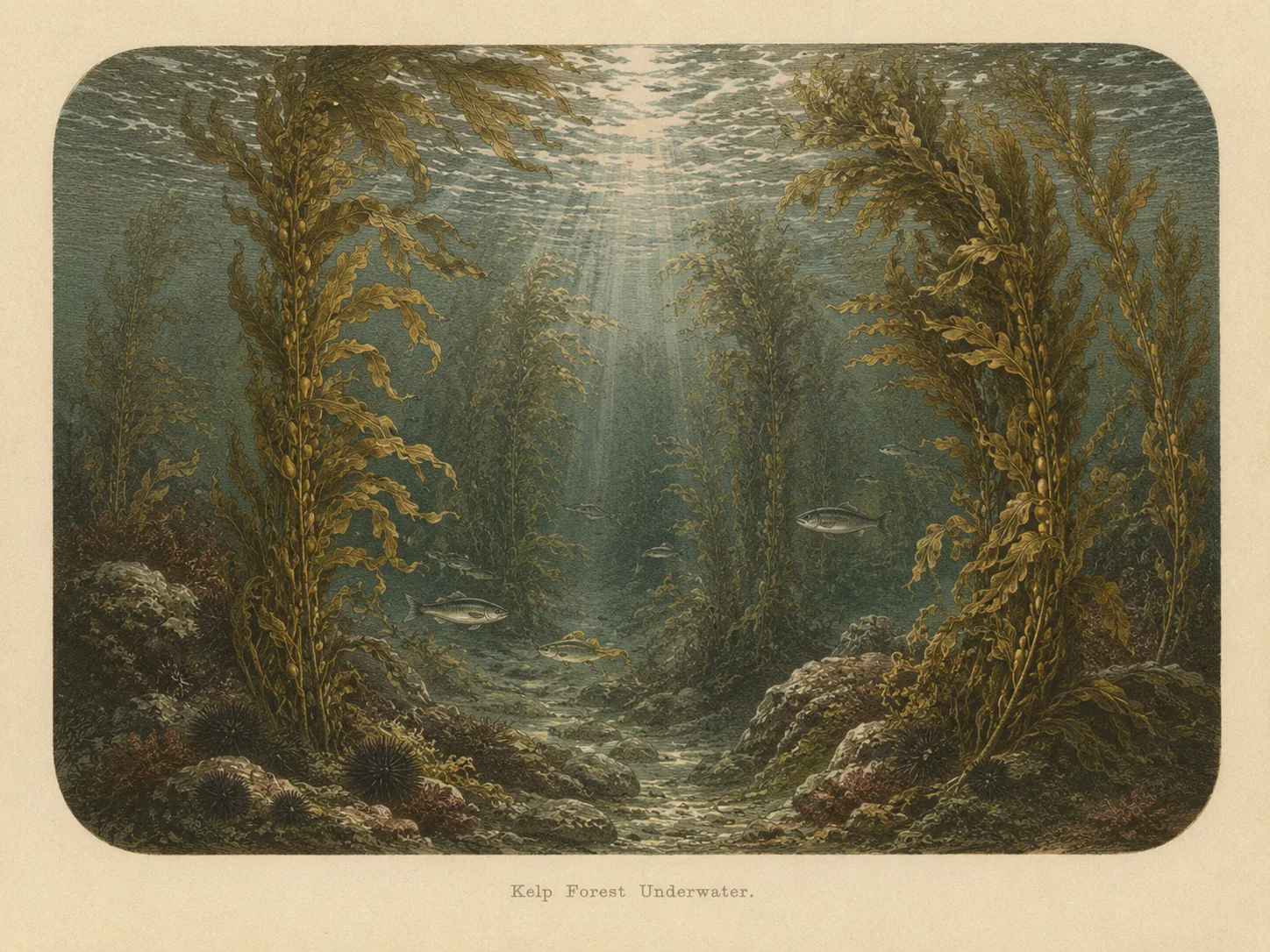
Kelp Forest
The kelp forest biome is giant kelp anchored to rocky bottom and growing up through the water column. The canopy and stipes form a three-dimensional habitat that shelters fish, invertebrates, and the predators that hunt them. Learn more about this biome and the species found in it by clicking the link below.
Learn more in the Biome GlossaryTarget Fish Species
Nearby beaches
 Ocean Oracle Pro
Gain the Power
of the Oracle.
Ocean Oracle sees the future. Get 7-day visibility forecasts for every beach, plus alerts the night before clarity peaks — so you never miss a prime day.
Free shows you what the ocean looks like today. Ocean Oracle shows you the week ahead and the fish waiting for you down there.
Visibility predictions for the entire week ahead at any beach. Plan dives, schedule charters, book trips — without guessing.
The night before any beach hits prime conditions, Ocean Oracle pings your phone. Wake up knowing exactly where to go.
Track your favorite beaches in one place. Forecasts and alerts for everywhere you dive.
For every beach: what species are there, when they show up, and how to target them. Built by spearos, for spearos.
See the future. Dive on the right days.