
Abalone Cove
Rancho Palos Verdes · Los Angeles County · California

Did you dive today?Please share the visibility to make our algorithm more accurate.
Report visibility

Today's forecast
Updated 6:06 AM PT today · July 28, 2026Dawn is the clearest window. A late-morning onshore builds surface chop and gives up a few feet by the afternoon.
7-Day Forecast
Map · getting there
33.739° N · 118.381° WRancho Palos Verdes, CA 90275
 Open in Google Maps
 Open in Apple Maps
About Abalone Cove
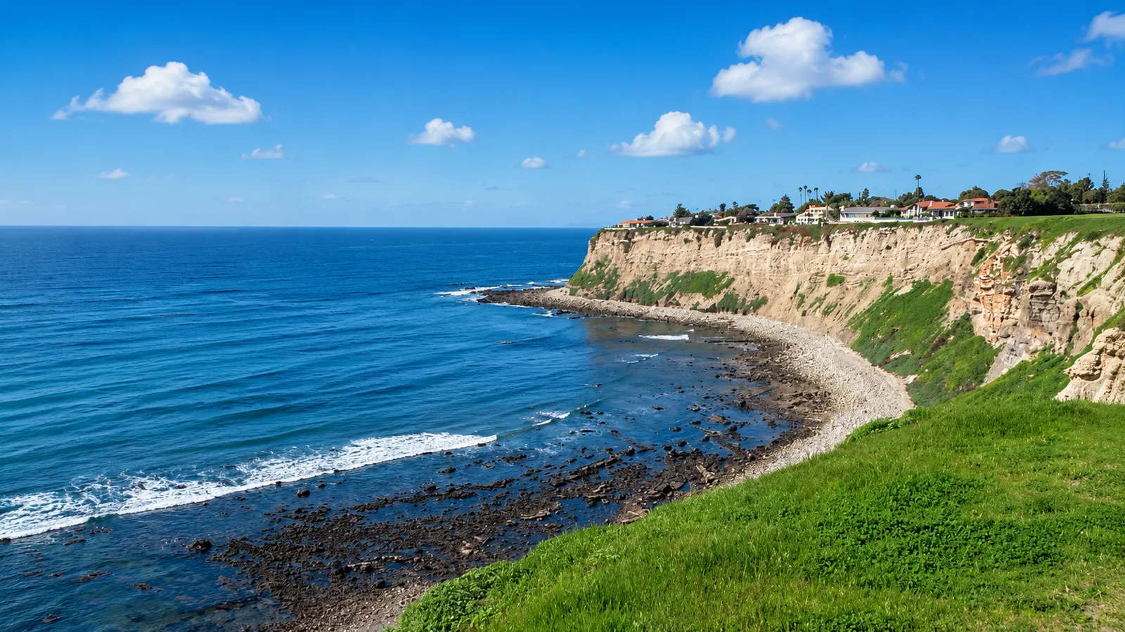
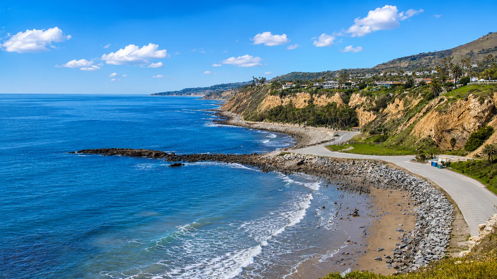
Abalone Cove sits on the Palos Verdes Peninsula at the toe of the Portuguese Bend Landslide, one of the most closely monitored active landslides in North America. The cove faces south and is bracketed by Portuguese Point on the east and Inspiration Point on the west, which shelter it from most of the prevailing swell and make it one of the calmer entries on this stretch of coast. Sacred Cove, the smaller pocket beach tucked behind Portuguese Point, sits within the same 109-acre Abalone Cove Shoreline Park and Ecological Reserve. Its name recalls the abalone once harvested here in commercial quantity, before the statewide fishery collapse. The rocky intertidal shelf at the base of the bluff is one of the best-documented tidepool areas in Los Angeles County, and much of the reserve was designated for its protection.
Under the water the reef is complex and irregular, a mix of rock and sand between roughly 15 and 60 feet that makes this a rocky reef biome. A dense kelp canopy anchors on the shallower reef and grows to the surface, including a spring staging bed for white seabass, and that offshore fringe is a kelp forest biome. Sand pockets between the reef sections hold California halibut and bat rays, adding a sandy-plain biome. The intertidal shelf at the base of the bluff, exposed and submerged with the tide, is a tidepool biome protected under the reserve designation.
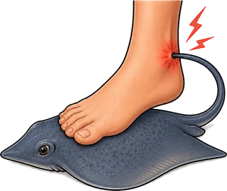
The paid lot at 5970 Palos Verdes Drive South is open daily from 9 a.m. to 4 p.m. and takes credit or debit only, with the first 30 minutes free, $6 up to two hours, and $12 beyond that; seniors 62 and older and disabled visitors park free. Those hours rule out dawn entries. The trail to the water runs about 20 minutes each way over steep loose rock, and the shore entry is cobble rather than sand, treacherous with any surge. Pacific electric rays have been documented on site. The cove draws snorkelers, scuba divers, and freedivers to the reef and kelp, with tidepooling on the intertidal shelf. Its offshore waters lie inside the Abalone Cove State Marine Conservation Area, where recreational take is limited to spearfishing of white seabass and pelagic finfish plus market squid taken by hand-held dip net; all other species, including lobster and rockfish, are protected.

Rocky Reef
The rocky reef biome is bare rock, boulder, and cobble structure without a kelp canopy above it. The hard relief and its crevices shelter invertebrates and reef fish, and the structure concentrates life that the surrounding sand cannot hold. Learn more about this biome and the species found in it by clicking the link below.
Learn more in the Biome Glossary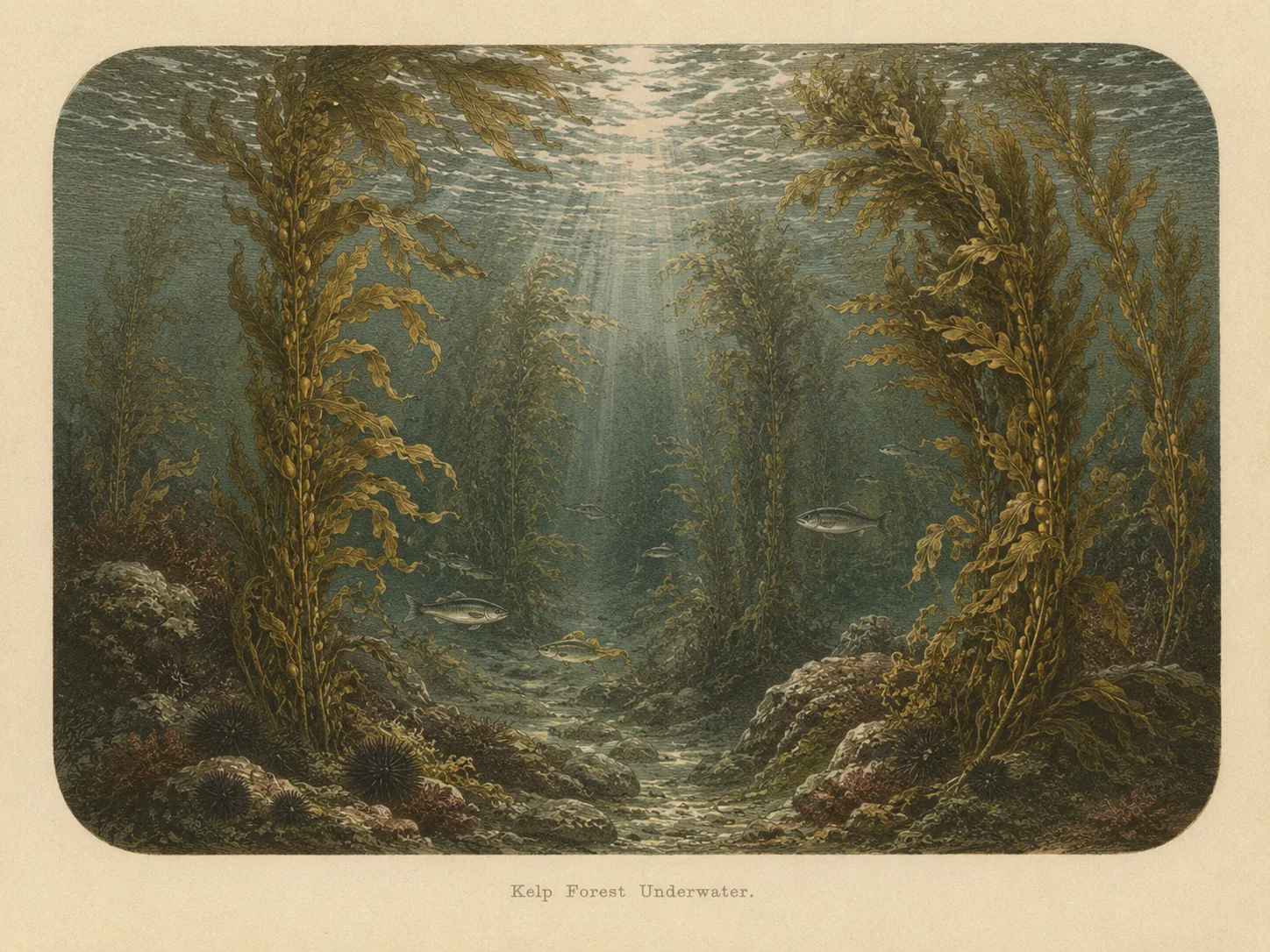
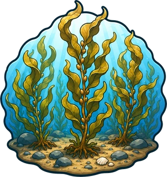
Kelp Forest
The kelp forest biome is giant kelp anchored to rocky bottom and growing up through the water column. The canopy and stipes form a three-dimensional habitat that shelters fish, invertebrates, and the predators that hunt them. Learn more about this biome and the species found in it by clicking the link below.
Learn more in the Biome GlossarySnorkel Species Report
Nearby beaches
 Surf Zone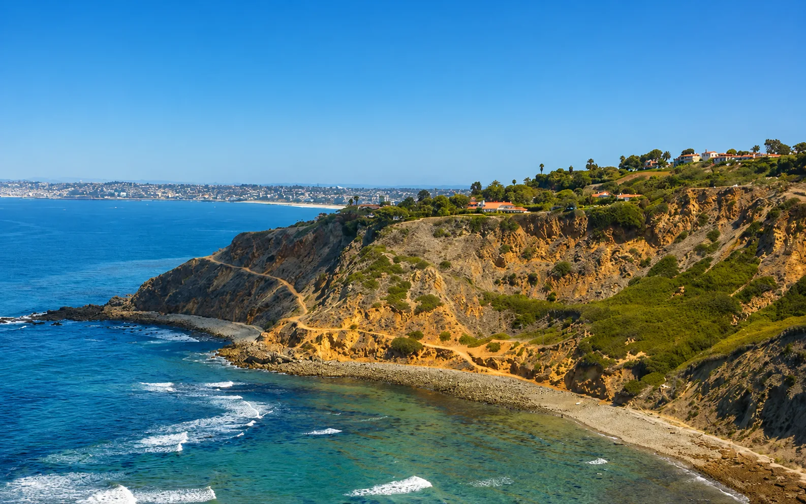
 Ocean Oracle Pro
Gain the Power
of the Oracle.
Ocean Oracle sees the future. Get 7-day visibility forecasts for every beach, plus alerts the night before clarity peaks — so you never miss a prime day.
Free shows you what the ocean looks like today. Ocean Oracle shows you the week ahead and the fish waiting for you down there.
Visibility predictions for the entire week ahead at any beach. Plan dives, schedule charters, book trips — without guessing.
The night before any beach hits prime conditions, Ocean Oracle pings your phone. Wake up knowing exactly where to go.
Track your favorite beaches in one place. Forecasts and alerts for everywhere you dive.
For every beach: what species are there, when they show up, and how to target them. Built by spearos, for spearos.
See the future. Dive on the right days.