
The Nautical Nick
Visibility Report
Ocean visibility forecasts for divers. We tell you how clear the water is going to be at any given beach today, with a 7-day outlook. The site is built for spearfishermen, freedivers, snorkelers, and scuba divers.
Explore beaches nearby
Pick one of these Southern California beaches and start planning your dive.
 Surf Zone
California · coastal regions
8 live regions from San Luis Obispo down to San Diego, plus the Channel Islands and Catalina offshore. Click any region to find a beach. The rest of the California coast is in production.
How we forecast visibility
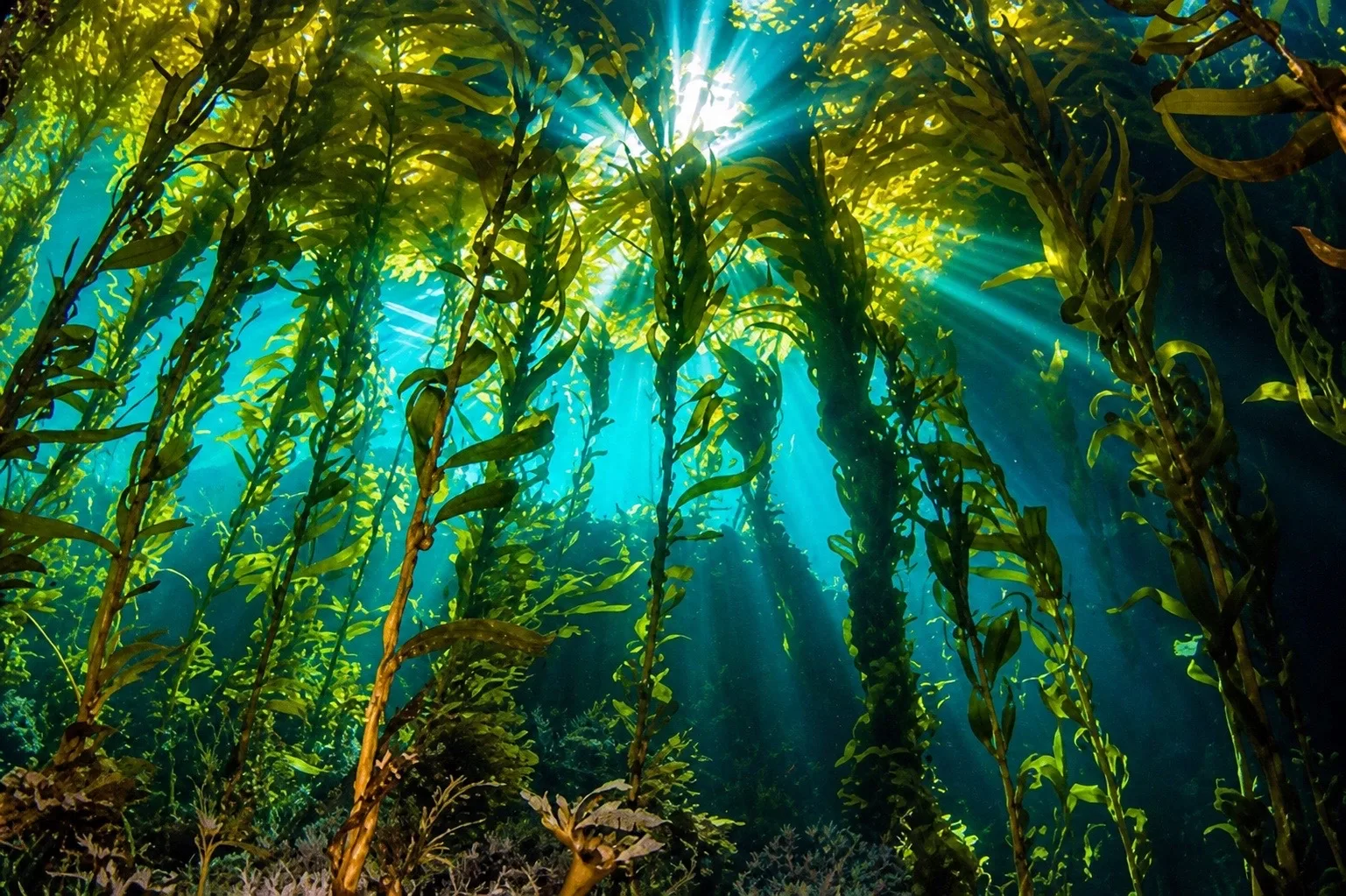
Three inputs, one number. We pull satellite, buoy, and on-the-ground data every morning — with midday wind refreshes — and blend them into a daily visibility-in-feet score for every beach we track.
Satellite Chlorophyll
NASA MODIS and Sentinel-3 give us chlorophyll-a in mg/m³ every 24 hours. Low chlorophyll means clean oceanic water is pushing inshore. Anything above 2.0 mg/m³ usually means a green-out.
Wave + Wind Models
NOAA WaveWatch III and NDBC buoy data come in every 6 hours. Big swell stirs the bottom, and sustained onshore wind drags surface particulate. Both crash visibility within hours.
Diver Reports
Diver reports come in from JustGetWet, ScubaBoard, Spearboard, and our own pinged-in reports. We weight recency heavily, since a 6 a.m. report from this morning beats a model any day.
7-day forecast · La Jolla Cove
This is a sample of what every beach page looks like for Pro members. Free users see today; Pro unlocks days 2–7. Customize your watchlist and get email notifications when the seven-day forecast detects good visibility days coming up.
Latest from Nautical News
Nautical journalism consisting of spearfishing stories, new legislation, ocean-related climate updates, interesting marine species, and many more kinds of ocean stories.
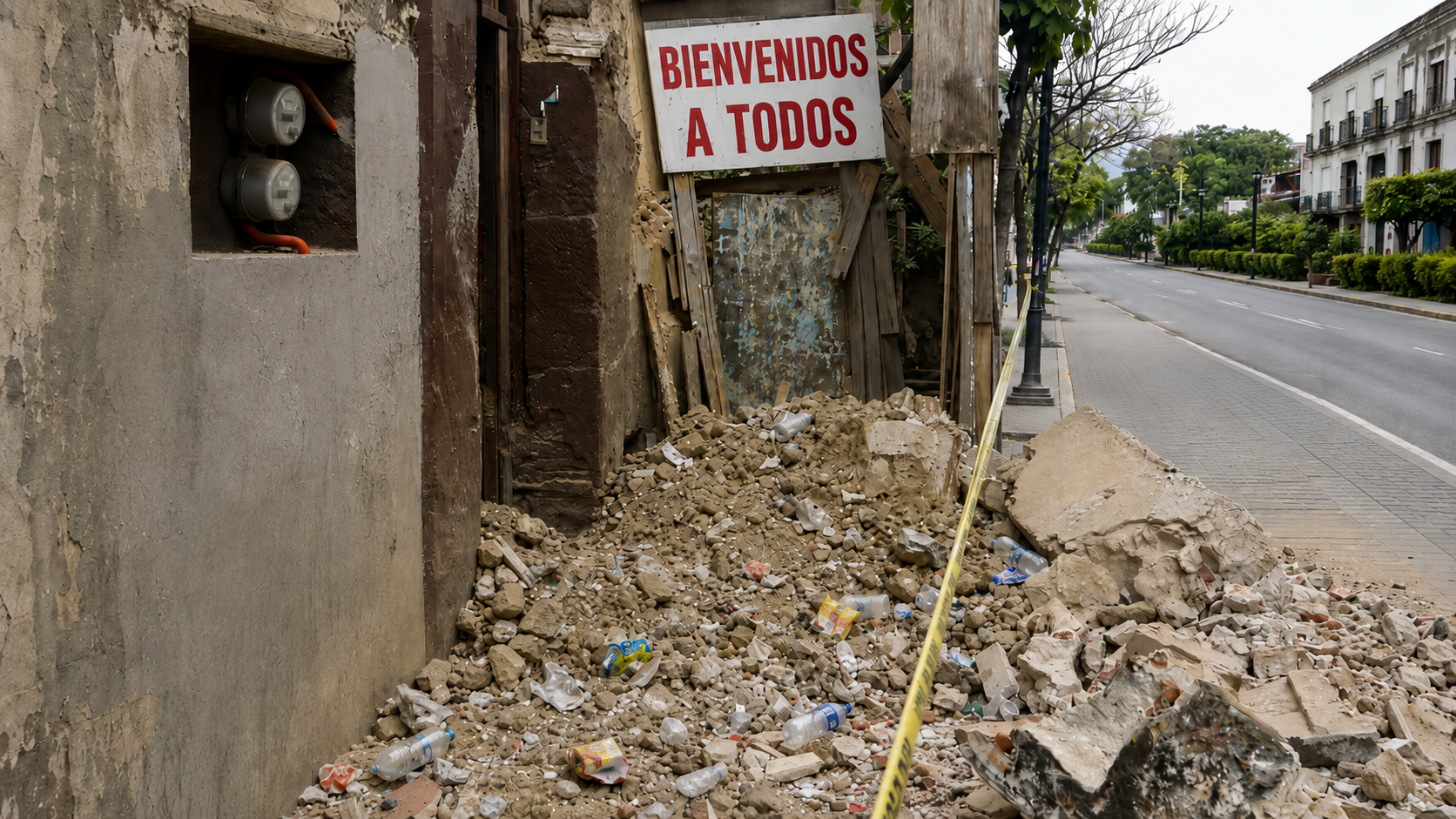
7.4 Earthquake in Mexico Raises Tsunami Alert: How Tsunamis Devastate Ocean Ecosystems
A powerful quake off Chiapas triggered a tsunami warning on Friday, then a swift all-clear. It is a chance to ask a quieter question: when a tsunami does hit, what does it do to the sea?

Australia Is Spending $120 Million to Create a Drone Shark Patrol Force to Cut Down on Shark Attacks
After a great white took a swimmer's arm at a Sydney beach, New South Wales is scaling up what it calls the world's largest aerial shark-surveillance program, betting on drones and AI over nets.
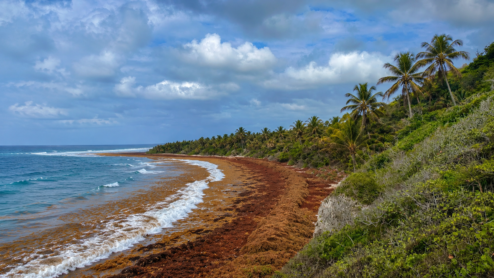
Massive Seaweed Die-Offs Stink Up the Coast and Murk Up the Water in the Florida Keys
A record-size belt of sargassum is burying the Keys, rotting in the canals, killing fish, and turning clear water to soup. Scientists say it is probably the new normal.
Gain the Power
of the Oracle.
Ocean Oracle sees the future. Get 7-day visibility forecasts for every beach, plus alerts the night before clarity peaks — so you never miss a prime day.
Free shows you what the ocean looks like today. Ocean Oracle shows you the week ahead and the fish waiting for you down there.
Visibility predictions for the entire week ahead at any beach. Plan dives, schedule charters, book trips — without guessing.
The night before any beach hits prime conditions, Ocean Oracle pings your phone. Wake up knowing exactly where to go.
Track your favorite beaches in one place. Forecasts and alerts for everywhere you dive.
For every beach: what species are there, when they show up, and how to target them. Built by spearos, for spearos.
See the future. Dive on the right days.
One email every morning.
We tell you whether the water's worth it.
A short read on conditions across San Diego, Catalina, and Santa Barbara. It goes out at 5:30 a.m., so you can decide before the alarm goes off. Pro members only.
The Ichthyopedia (coming soon)
A field guide built around the SoCal target list. It covers range maps, legal sizes, behavioral notes, and the holes they hold in.