
Horseshoe Kelp
San Pedro · Los Angeles County · California

Did you dive today?Please share the visibility to make our algorithm more accurate.
Report visibility
Today's forecast
Updated 6:06 AM PT today · July 28, 2026Dawn is the clearest window. A late-morning onshore builds surface chop and gives up a few feet by the afternoon.
7-Day Forecast
Map · getting there
33.668° N · 118.203° WBoat access only
 Open in Google Maps
 Open in Apple Maps
About Horseshoe Kelp
Horseshoe Kelp is a submerged reef and kelp ground in the outer harbor approaches of San Pedro Bay, sheltered behind the 8.3-mile Federal Breakwater that fronts the Port of Los Angeles and the Port of Long Beach. The complex runs in a rough horseshoe about ten miles long, from Point Fermin on the San Pedro side east and southeast toward the dropoff north of Huntington Flats, with the Angels Gate and Queens Gate harbor entrances marking the north edge. Depths range from about 40 feet on the shallowest reef pieces to 100 feet along the outer edges, over a mix of rocky reef, coarse sand, and the low pillars locally called boiler rocks. Remnant kelp still grows over the hard structure. Named sub-pieces include the Rockpile, Middle Grounds, East End, and Jackpot Rock. Historically the site carried a kelp bed thick enough to give the ground its name, but the canopy today is patchy and reduced from that scale rather than absent. For decades it has been the standard year-round half-day fishing ground worked out of every major LA and Long Beach landing.
The hard structure and boiler rocks make this a rocky reef biome. The remnant kelp that still anchors on the reef, thinner than the historical bed but present across much of the ground, keeps a kelp forest biome in play. Seasonal migratory fish such as yellowtail, bonito, and barracuda move through the outer-harbor water column here, making the ground a pelagic biome as well.
Access is by boat only. Departures run out of the San Pedro landings at 22nd Street Landing and LA Harbor Sportfishing, with Long Beach Sportfishing and Pierpoint Landing on the Long Beach side and Marina del Rey a longer option to the west. The lee of the breakwater keeps currents mild and dampens most swell, though a large south or southwest swell can wrap around and reach the east end near Queens Gate. Visibility is highly variable. Runoff from the LA River, the Dominguez Channel, and the harbor storm drains drops clarity for days after rain, and constant commercial vessel traffic through the busiest port complex on the US West Coast stirs sediment. The bulk of the productive water sits below 40 feet, so the ground is not snorkel-friendly.
Horseshoe Kelp lies outside all four mainland Los Angeles County marine protected areas, so fishing and spearfishing are legal here under standard California regulations, though the eastern edge sits close enough to the Federal Breakwater that any Port of Los Angeles or Long Beach security-zone restrictions along that boundary should be checked before diving.

Rocky Reef
The rocky reef biome is bare rock, boulder, and cobble structure without a kelp canopy above it. The hard relief and its crevices shelter invertebrates and reef fish, and the structure concentrates life that the surrounding sand cannot hold. Learn more about this biome and the species found in it by clicking the link below.
Learn more in the Biome Glossary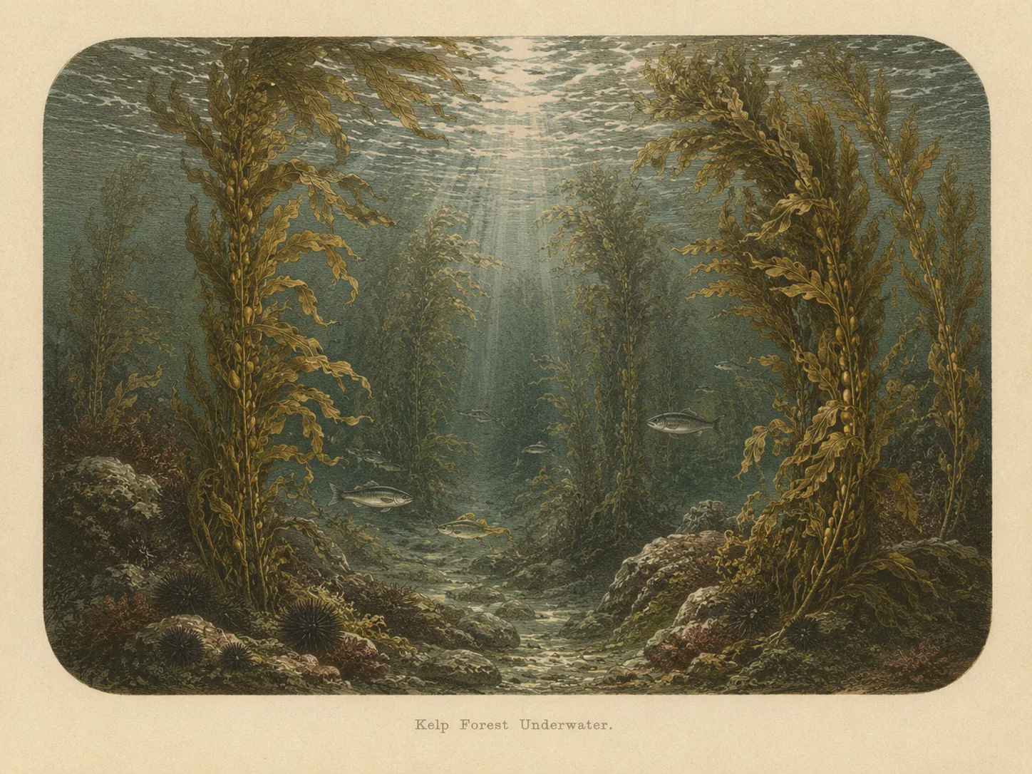
Kelp Forest
The kelp forest biome is giant kelp anchored to rocky bottom and growing up through the water column. The canopy and stipes form a three-dimensional habitat that shelters fish, invertebrates, and the predators that hunt them. Learn more about this biome and the species found in it by clicking the link below.
Learn more in the Biome Glossary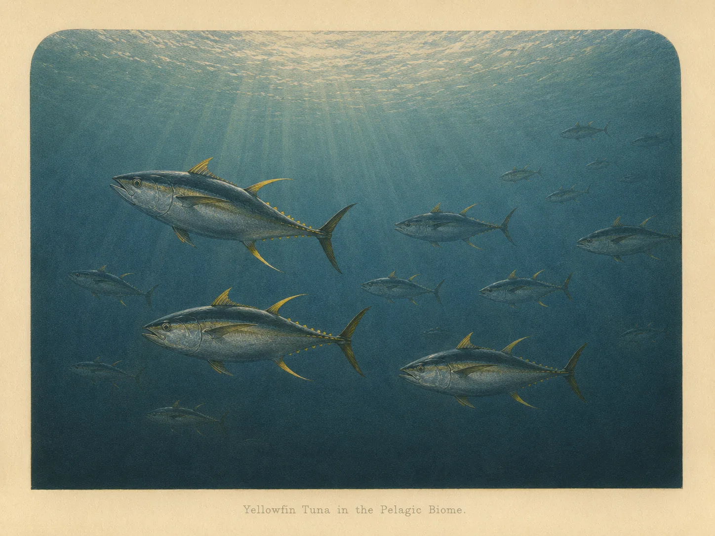
Pelagic
The pelagic biome is open water away from the bottom and from structure. It is the realm of fast, schooling fish and the large predators that follow them in from deeper water. Learn more about this biome and the species found in it by clicking the link below.
Learn more in the Biome GlossaryTarget Fish Species
Nearby beaches
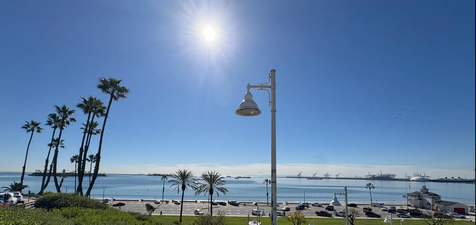
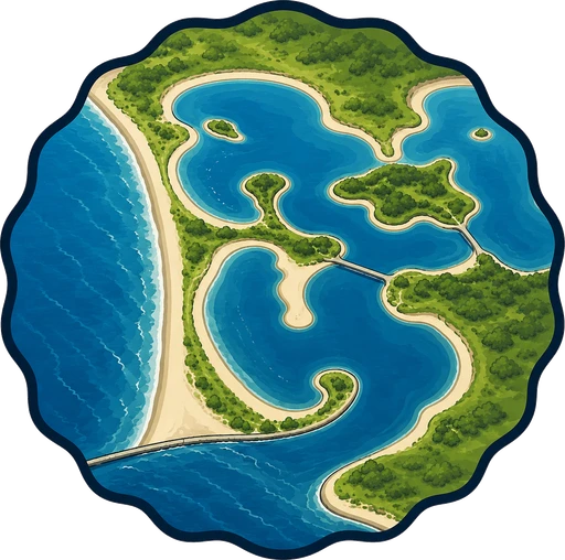 Bay
Bay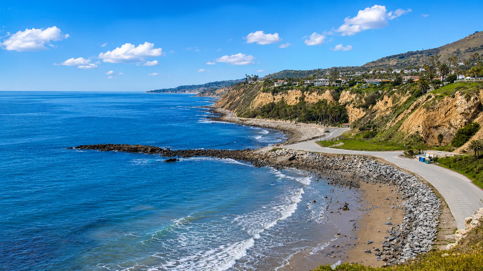
 Surf Zone
 Ocean Oracle Pro
Gain the Power
of the Oracle.
Ocean Oracle sees the future. Get 7-day visibility forecasts for every beach, plus alerts the night before clarity peaks — so you never miss a prime day.
Free shows you what the ocean looks like today. Ocean Oracle shows you the week ahead and the fish waiting for you down there.
Visibility predictions for the entire week ahead at any beach. Plan dives, schedule charters, book trips — without guessing.
The night before any beach hits prime conditions, Ocean Oracle pings your phone. Wake up knowing exactly where to go.
Track your favorite beaches in one place. Forecasts and alerts for everywhere you dive.
For every beach: what species are there, when they show up, and how to target them. Built by spearos, for spearos.
See the future. Dive on the right days.