
Malaga Cove
Palos Verdes Estates · Los Angeles County · California


Did you dive today?Please share the visibility to make our algorithm more accurate.
Report visibility

Today's forecast
Updated 6:06 AM PT today · July 28, 2026Dawn is the clearest window — onshore wind picks up by late morning and surface chop stirs the bottom through the afternoon.
7-Day Forecast
Map · getting there
33.804° N · 118.394° WPalos Verdes Estates, CA 90274
 Open in Google Maps
 Open in Apple Maps
About Malaga Cove
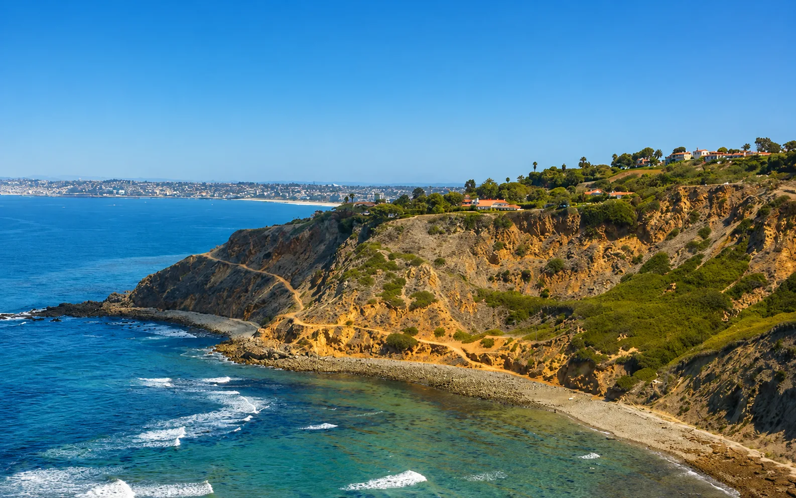
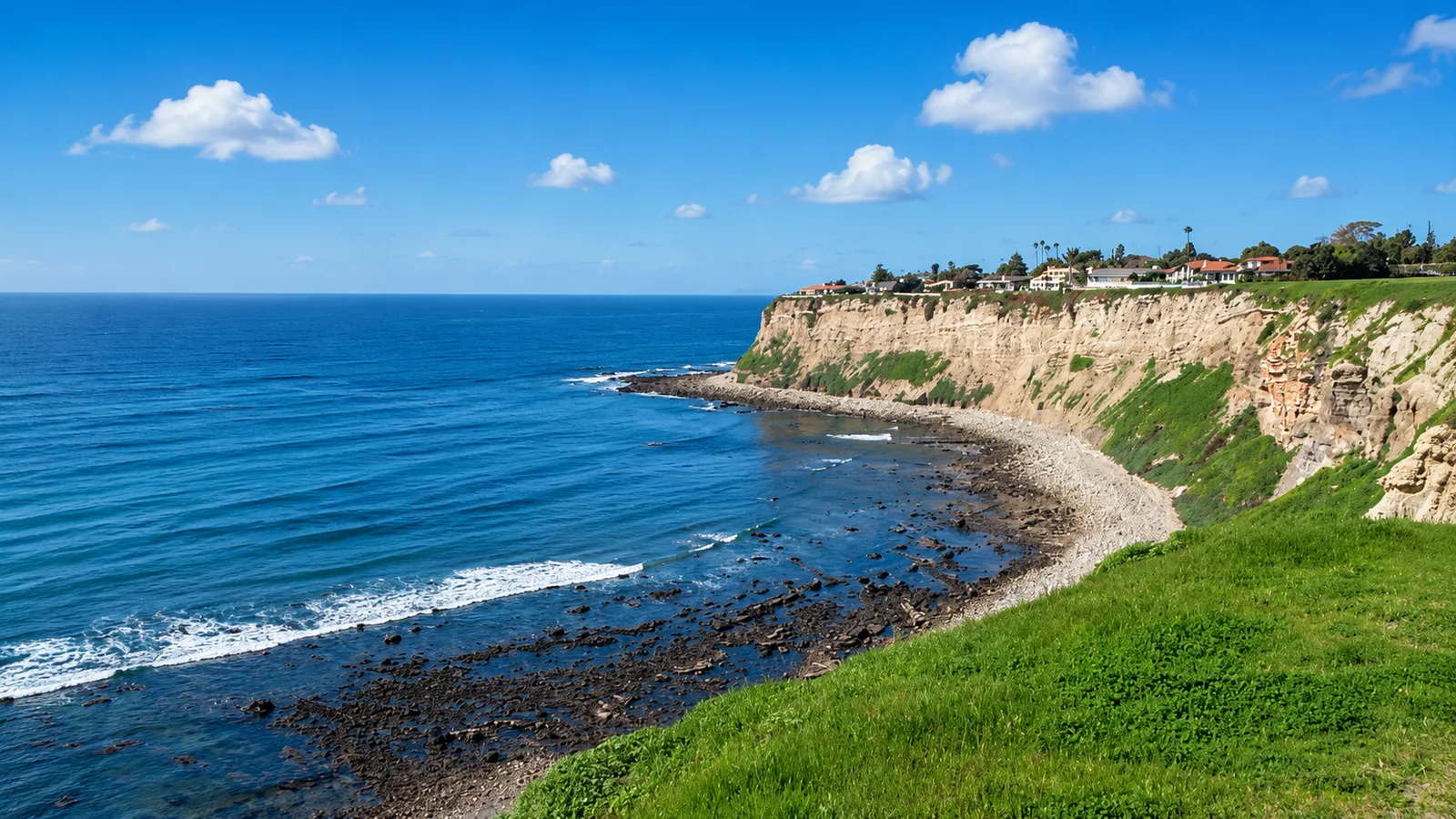
Malaga Cove sits at the northern hinge of the Palos Verdes Peninsula, where the long sand strand of Santa Monica Bay ends against the rocky headlands and bluffs of Palos Verdes Estates. The cove runs east to west between Roessler Point to the northeast, which carries a seasonal runoff waterfall, and Flat Rock Point to the southwest, where the winter left break known as Haggerty's works over reef. Its eastern half is continuous sand, effectively the southern end of what surfers call RAT Beach for its position Right After Torrance. Moving west, the bottom shifts through mixed sand and cobble as the shore curves, then hardens into a rocky reef and shoreline that runs out to Flat Rock Point. Tall bluffs rise behind the beach, part of the 130-acre Palos Verdes Estates Shoreline Preserve, and the historic 1926 Malaga Cove School sits at the top of the trail. The dive area runs 10 to 25 feet deep, with the most productive rock and kelp inside 20 feet. Visibility averages 10 to 15 feet. In fall it can reach 25.
The sand and breaking surf across the eastern half make the entry a surf zone biome, and the reef ridges under shallow water can hold surge even when the wave face is small. Where sand gives way to rock and the ridges break the bottom in 10 to 25 feet with only patchy kelp above them, the seaward western shore is a rocky reef biome. A thick kelp forest biome sits over the western reef, anchored on hard rock and reaching offshore beyond the point. Eastward, the sand runs unbroken as a sandy-plain biome, the northern continuation of Santa Monica Bay's sand where angel sharks and bat rays are documented. At low tide, the exposed rock along the western shore forms a tidepool biome.
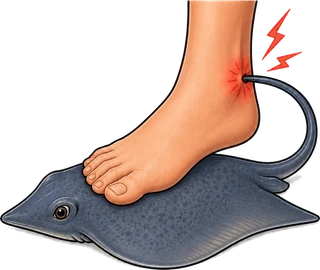
A free public lot sits at Paseo del Mar and Via Arroyo, across from Malaga Cove School, open 5 a.m. to 9 p.m., with a gazebo overlook for checking conditions. From there, a paved trail runs about a quarter mile down the bluff past the private Palos Verdes Beach and Athletic Club to the sand. The lot fills on summer weekends and on solid west winter swells, with overflow along Paseo del Mar. Entry is over slick rock, and the kelp on the western reef is thick enough to entangle gear. No year-round lifeguard is posted. Spearfishing, scuba, snorkeling, and freediving are all common on the western reef, and the cove also draws surfers to Haggerty's and anglers along the sand. Malaga Cove is well outside the Point Vicente and Abalone Cove SMCAs, so fishing and spearfishing are legal here under standard California regulations.
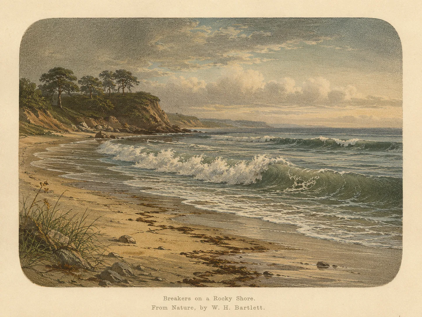
Surf Zone
The surf zone biome consists of sandy beaches and breaking waves. The action of surf disturbing the sand and kicking it up exposes marine invertebrates, buried in their shallow dens. This natural exposure of invertebrates attracts all kinds of fish, looking for an easy meal. Learn more about this biome and the species found in it by clicking the link below.
Learn more in the Biome Glossary
Rocky Reef
The rocky reef biome is bare rock, boulder, and cobble structure without a kelp canopy above it. The hard relief and its crevices shelter invertebrates and reef fish, and the structure concentrates life that the surrounding sand cannot hold. Learn more about this biome and the species found in it by clicking the link below.
Learn more in the Biome Glossary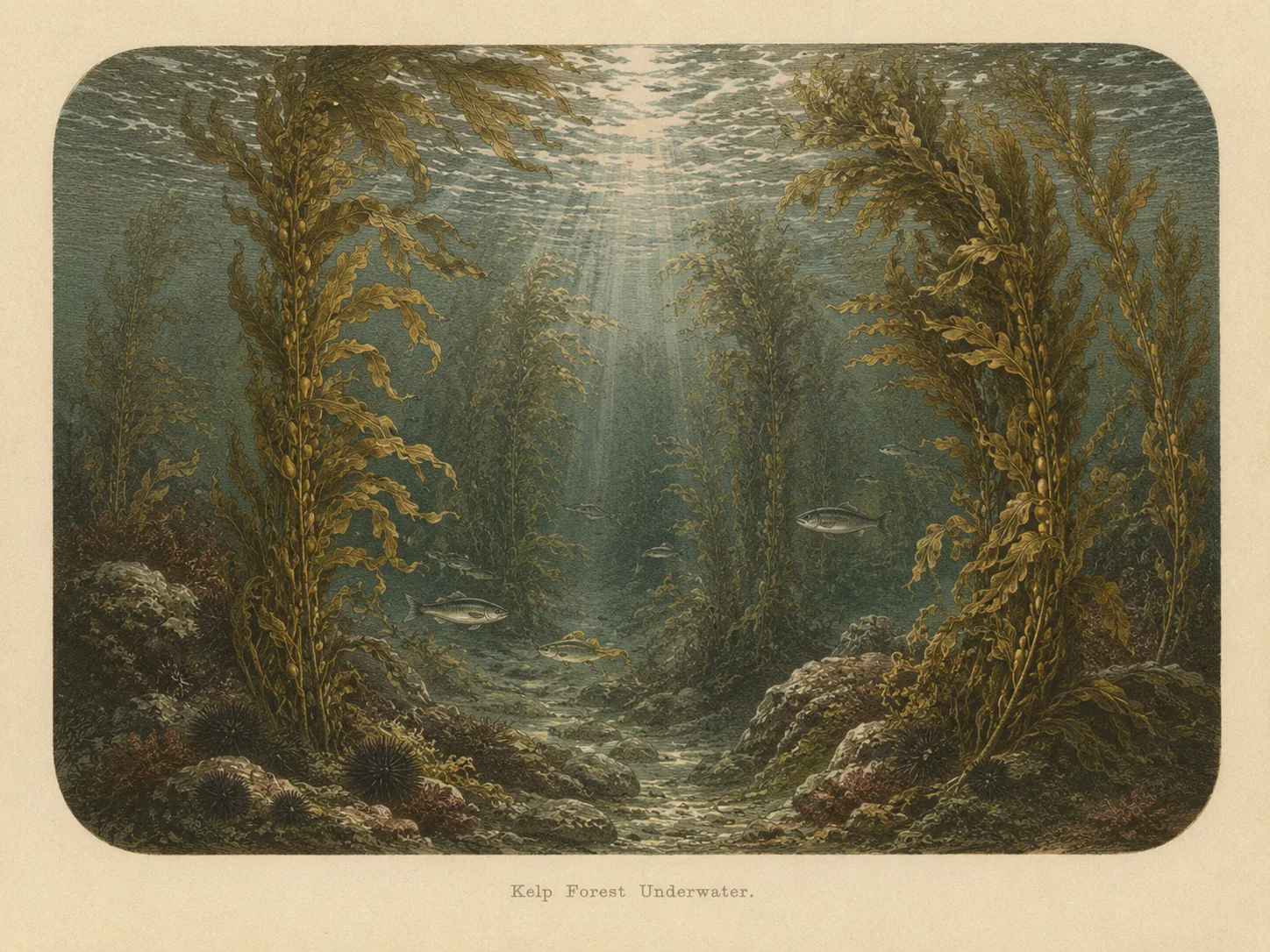
Kelp Forest
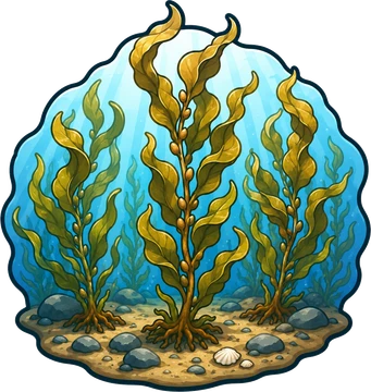
The kelp forest biome is giant kelp anchored to rocky bottom and growing up through the water column. The canopy and stipes form a three-dimensional habitat that shelters fish, invertebrates, and the predators that hunt them. Learn more about this biome and the species found in it by clicking the link below.
Learn more in the Biome GlossaryTarget Fish Species
Nearby beaches
 Ocean Oracle Pro
Gain the Power
of the Oracle.
Ocean Oracle sees the future. Get 7-day visibility forecasts for every beach, plus alerts the night before clarity peaks — so you never miss a prime day.
Free shows you what the ocean looks like today. Ocean Oracle shows you the week ahead and the fish waiting for you down there.
Visibility predictions for the entire week ahead at any beach. Plan dives, schedule charters, book trips — without guessing.
The night before any beach hits prime conditions, Ocean Oracle pings your phone. Wake up knowing exactly where to go.
Track your favorite beaches in one place. Forecasts and alerts for everywhere you dive.
For every beach: what species are there, when they show up, and how to target them. Built by spearos, for spearos.
See the future. Dive on the right days.