
Hermosa Beach
Hermosa Beach · Los Angeles County · California

Did you dive today?Please share the visibility to make our algorithm more accurate.
Report visibility

Today's forecast
Updated 10:00 AM PT today · July 28, 2026Dawn is the clearest window — onshore wind picks up by late morning and surface chop stirs the bottom through the afternoon.
7-Day Forecast
Map · getting there
33.862° N · 118.402° W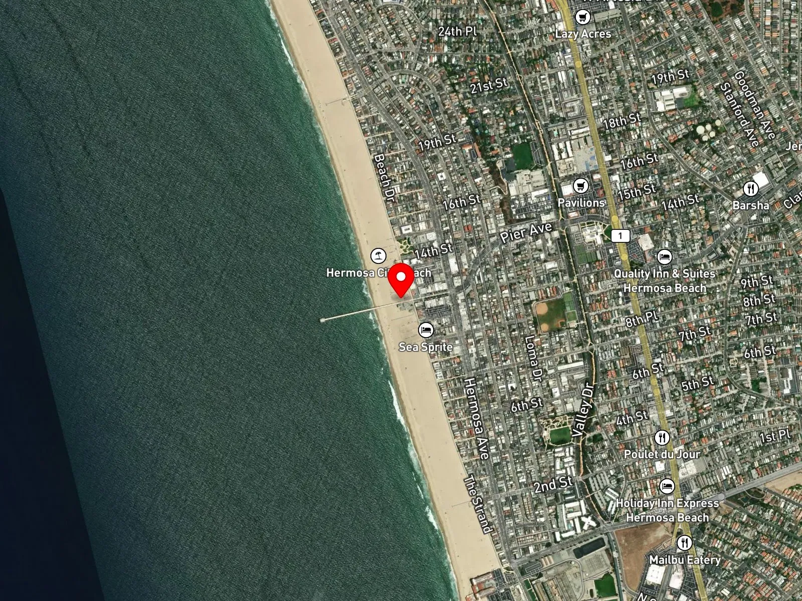
Hermosa Beach, CA 90254
 Open in Google Maps
 Open in Apple Maps
About Hermosa Beach
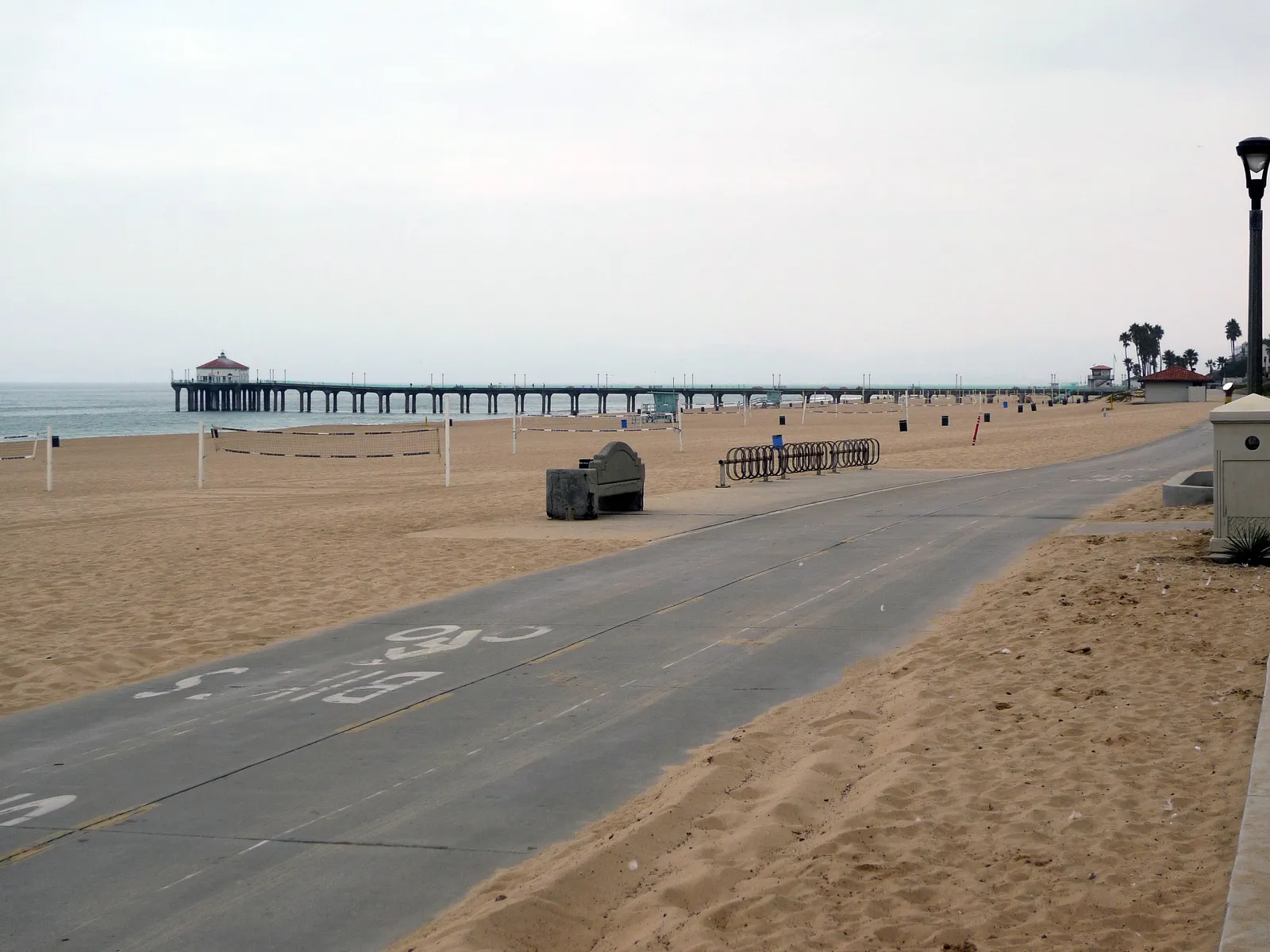
Hermosa Beach is a sand-bottom South Bay beach city on the Santa Monica Bay coast of Los Angeles County, anchored by Hermosa Beach Pier at the foot of Pier Avenue. The current concrete pier extends 1,140 feet into the bay. It was built in 1965 to replace a 1914 concrete pier that had been condemned in 1957, and was designed by engineer James Crumpley of Moffatt and Nichol. The Strand, a paved bike and pedestrian path along the back of the beach, runs in both directions from the pier base. Pier Plaza, the pedestrian shopping and dining strip on Pier Avenue, runs inland from there and includes the Surfers Walk of Fame, a series of bronze plaques honoring South Bay surfers. Several hundred yards offshore in about 60 feet of water lies Cable Car Reef, also called the Hermosa Artificial Reef, built in 1960 from a streetcar, 14 automobiles, and 330 tons of quarry rock. The reef is a boat-only dive site and cannot be reached from shore.
The bottom along the named beach is sand throughout, with consistent breaking surf and no rocky structure or kelp within shore-access range, which makes the spot a surf zone biome. Without that structure to hold fish, spearfishing, snorkeling, and scuba from shore are all uncommon.
Surfing carries most of the in-water use, with hook-and-line fishing from the pier and the sand and summer swimming filling out the rest. Hermosa Beach is also a well-known competitive volleyball venue with permanent professional and tournament courts, and the AVP Tour calendar stops here regularly.
Paid municipal lots sit at the foot of Pier Avenue and along Hermosa Avenue, with hourly rates during the day, and metered street parking is available on the Strand-adjacent residential blocks. Spaces fill before 10 a.m. on summer weekends, with the Pier Plaza lot closest to the pier base. Spearfishing is prohibited within 1,000 feet of Hermosa Beach Pier per California Code of Regulations Title 14 Section 1.88. Outside that exclusion, fishing and spearfishing are legal along the named beach under standard California regulations.
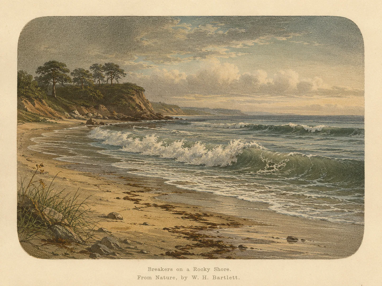
Surf Zone
The surf zone biome consists of sandy beaches and breaking waves. The action of surf disturbing the sand and kicking it up exposes marine invertebrates, buried in their shallow dens. This natural exposure of invertebrates attracts all kinds of fish, looking for an easy meal. Learn more about this biome and the species found in it by clicking the link below.
Learn more in the Biome GlossaryTarget Fish Species
Nearby beaches
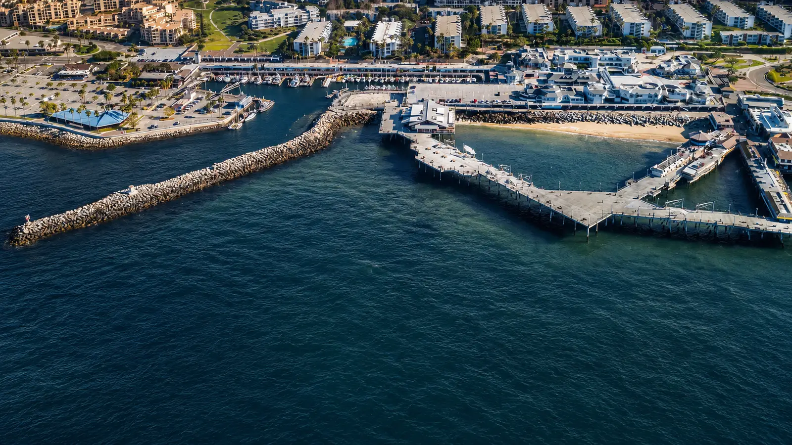
 Rocky Reef
 Ocean Oracle Pro
Gain the Power
of the Oracle.
Ocean Oracle sees the future. Get 7-day visibility forecasts for every beach, plus alerts the night before clarity peaks — so you never miss a prime day.
Free shows you what the ocean looks like today. Ocean Oracle shows you the week ahead and the fish waiting for you down there.
Visibility predictions for the entire week ahead at any beach. Plan dives, schedule charters, book trips — without guessing.
The night before any beach hits prime conditions, Ocean Oracle pings your phone. Wake up knowing exactly where to go.
Track your favorite beaches in one place. Forecasts and alerts for everywhere you dive.
For every beach: what species are there, when they show up, and how to target them. Built by spearos, for spearos.
See the future. Dive on the right days.