
Monastery Beach
Carmel Highlands · Monterey County · California


Did you dive today?Please share the visibility to make our algorithm more accurate.
Report visibility

Today's forecast
As of Oct 12, 8:02 PM PT · latest availableDawn is the clearest window. A late-morning onshore builds surface chop and gives up a few feet by the afternoon.
7-Day Forecast
Map · getting there
36.524° N · 121.927° W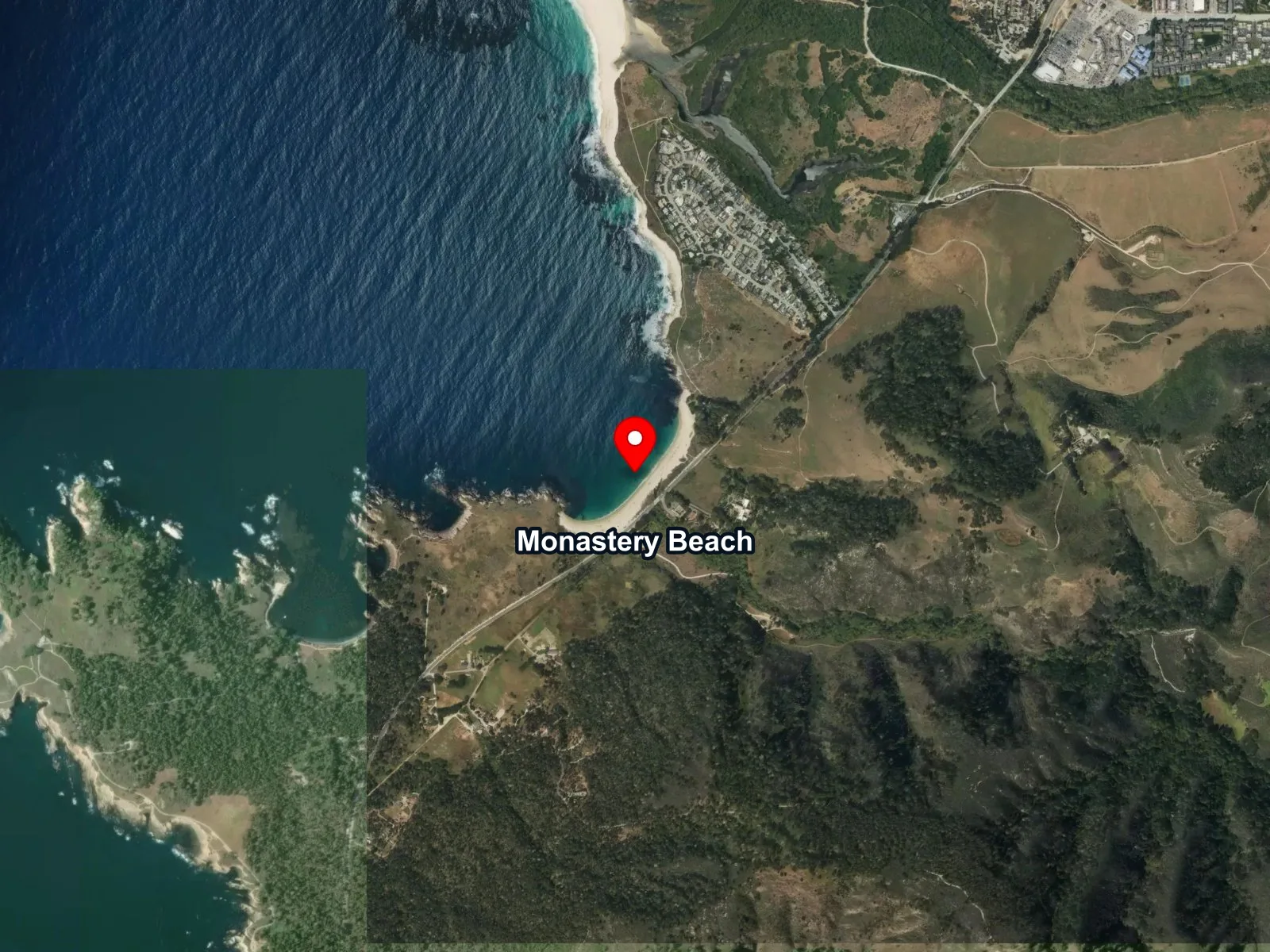
 Open in Google Maps
 Open in Apple Maps
About Monastery Beach
Monastery Beach sits directly on Highway 1 south of Carmel Highlands, at the eastern rim of Carmel Submarine Canyon. The sea floor here drops to 200 feet within 200 yards of shore and continues to deep-canyon depths beyond that, which sets the beach apart from every other shore-dive site on the central California coast. The beach is also called San Jose Creek Beach on some maps and is managed as part of the Carmel River State Beach park unit.
The name comes from the Carmelite Monastery of Our Lady and Saint Therese on the bluff above, a mid-20th-century religious community whose building is visible from the sand. Local divers use a second name, Mortuary Beach, drawn from a fatality record that California Diver Magazine has summarized from local news accounts going back to the early 2000s. The recognized entry and exit technique here is the Monastery Crawl, in which a diver moves on hands and knees through the surf line with the regulator in the mouth; central California instructors teach it at other training beaches before ever sending divers to Monastery.
Steep coarse sand at the water line produces a plunging shorebreak that can knock standing divers over and pull them out, and a powerful undertow follows. The sand is closer to fine gravel, with grains about the size of a BB, and each retreating wave drags it out from under a diver's feet. Even small surf is dangerous here, and the break is so short and steep that waves look smaller from the top of the beach than they really are, so local divers judge the sets from the wet sand before committing. California State Parks and local guides direct all entry and exit to the far north or far south ends of the beach, never the middle, which takes the brunt of the surf. Deep upwelling from the canyon holds the water colder and clearer than at nearby sites, and that upwelling supports the offshore giant kelp stand. Fall and winter bring some of the best visibility on the central California coast.
The 2 ends dive differently. The south end, closest to the restrooms, is a little shallower and usually better sheltered from swell, with about 40 feet of water below a diver on the surface swim and depth building toward the north. At the north end, divers descend in roughly 30 feet of water and follow the steep edge of the canyon, which keeps falling well past recreational depths, so depth, air, and no-decompression time need close watching. Both ends are rated advanced, a different class of entry from the sheltered, gentle sand at San Carlos Beach, and a first dive here goes best alongside a buddy who already knows the beach.
Conditions can build over the course of a dive, so the exit is often rougher than the entry. Divers save air for the trip back through the surf zone, time the swim in between sets, and cross the break without stopping to fit fins in the wash. The Monastery Crawl continues until the diver is well up onto dry sand, with the regulator still in. From there, the gear goes back up the steep beach to the car, a haul that calls for good physical condition.
The kelp anchors on the rock beyond the sand and grows up through the water column to the surface, forming a kelp forest biome above the reef. That reef, separate from the kelp-covered rock and running along the north and south margins of the sand, is a rocky reef biome. That same steep-sand shoreline marks a surf zone biome at the entry, and the canyon rim within a short swim gives the site a canyon biome as well.
Roadside parking runs along the shoulder of Highway 1 directly at the beach, free, with room for roughly 15 to 20 vehicles that fill fast on dive-appropriate days. There is no lot and no fee. The entire beach and its offshore waters lie inside Point Lobos State Marine Reserve, which since the 2007 expansion has extended from the rocky point on the north side of Monastery south to the mouth of Mal Paso Creek. All take of any kind, including fishing and spearfishing, is prohibited inside the reserve.
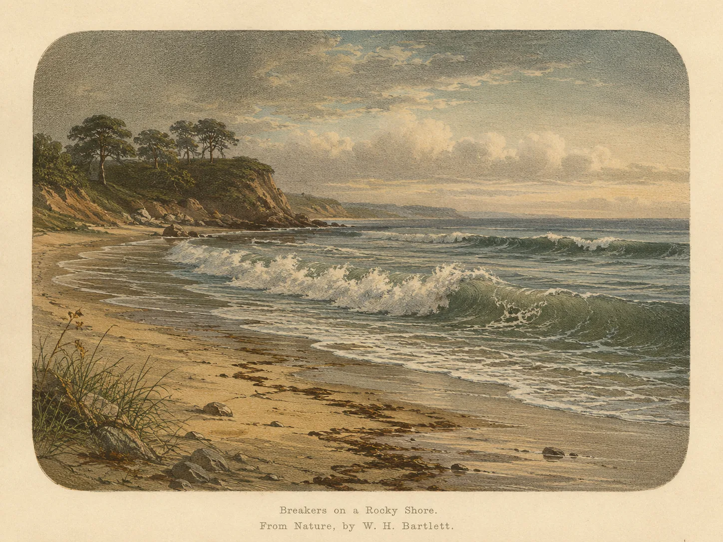
Surf Zone
The surf zone biome consists of sandy beaches and breaking waves. The action of surf disturbing the sand and kicking it up exposes marine invertebrates, buried in their shallow dens. This natural exposure of invertebrates attracts all kinds of fish, looking for an easy meal. Learn more about this biome and the species found in it by clicking the link below.
Learn more in the Biome Glossary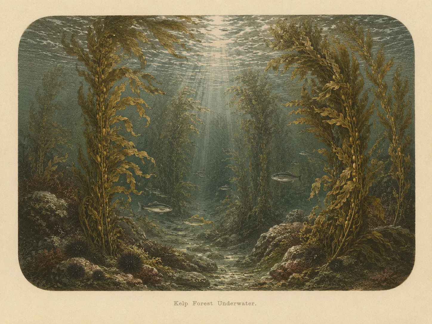
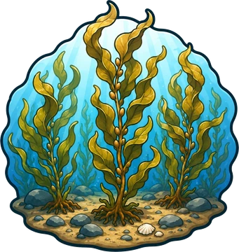
Kelp Forest
The kelp forest biome is giant kelp anchored to rocky bottom and growing up through the water column. The canopy and stipes form a three-dimensional habitat that shelters fish, invertebrates, and the predators that hunt them. Learn more about this biome and the species found in it by clicking the link below.
Learn more in the Biome Glossary
Rocky Reef
The rocky reef biome is bare rock, boulder, and cobble structure without a kelp canopy above it. The hard relief and its crevices shelter invertebrates and reef fish, and the structure concentrates life that the surrounding sand cannot hold. Learn more about this biome and the species found in it by clicking the link below.
Learn more in the Biome Glossary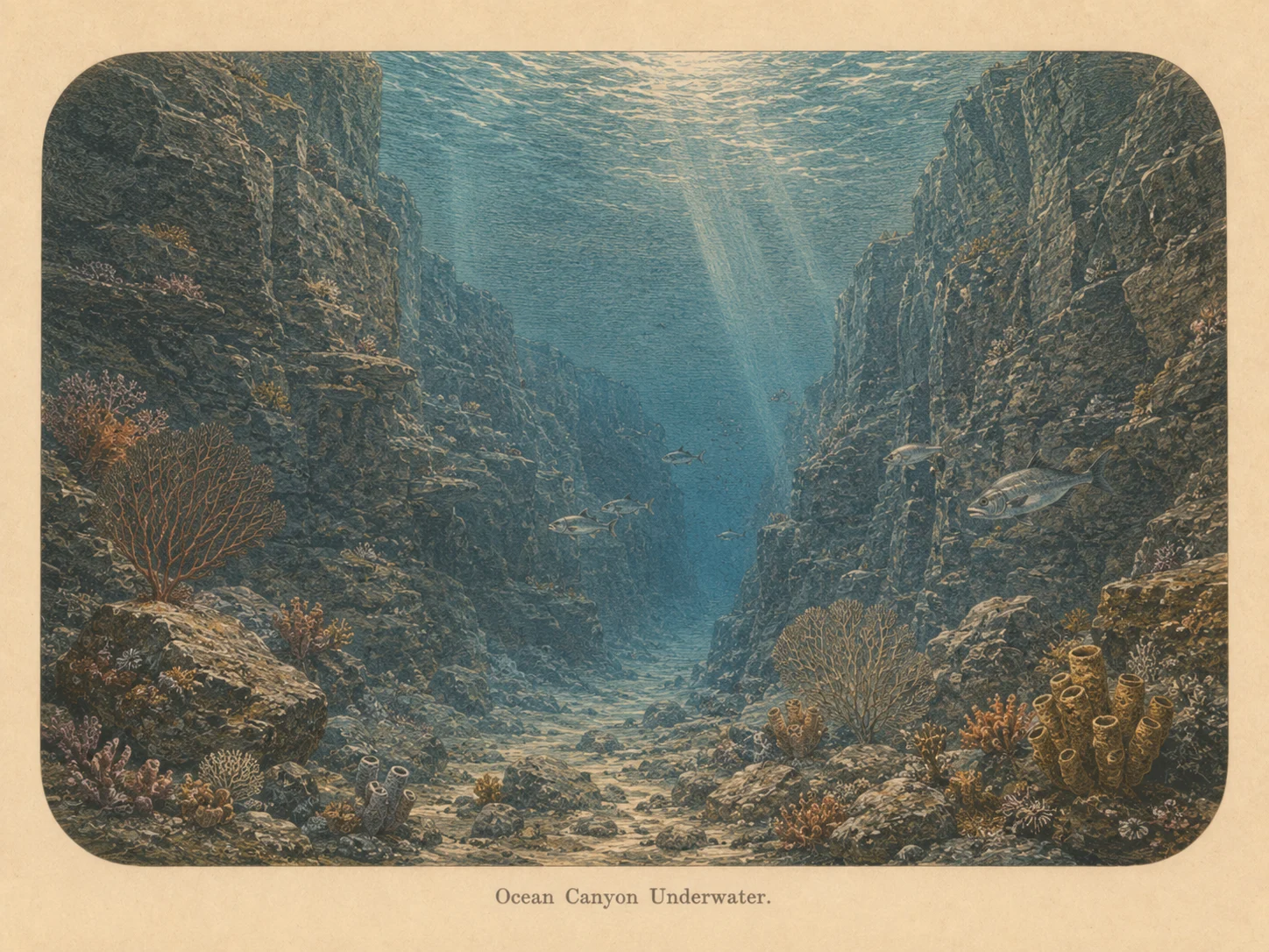
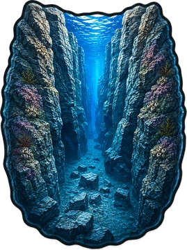
Canyon
The canyon biome is sharp vertical relief with a real depth change, including walls and drop-offs. The structure draws current-borne food and concentrates fish and large predators along its edges. Learn more about this biome and the species found in it by clicking the link below.
Learn more in the Biome GlossarySnorkel Species Report
Researched habitat and range candidates. A listed species may be seasonal or depth-limited; this is not a confirmed sighting at this location.
Nearby beaches
 Ocean Oracle Pro
Gain the Power
of the Oracle.
Ocean Oracle sees the future. Get 7-day visibility forecasts for every beach, alerts when a prime day is coming, and a dive log that remembers every dive.
Free shows you what the ocean looks like today. Ocean Oracle shows you the week ahead, watches your beaches for you, and remembers every dive.
Visibility predictions for the entire week ahead at any beach. Plan dives, schedule charters, and book trips without guessing.
When a beach on your watchlist is running good water, or the week ahead shows a good day coming, Ocean Oracle emails you. A prime window never slips past.
Every entry freezes that day's report: visibility, tide, swell, wind. Log catches, stamp Personal Bests, level up your guns, and light up your species life list.
The Coastal Bulletin greets members with the clearest water on the coast today and their own watchlist, before a single click.
Track your favorite beaches in one place. Forecasts and alerts for everywhere you dive.
A members-only board on every beach where taking fish is legal: how other members hunt the spot, with the gear, tide, season, and target species. Post your own and earn XP.
See the future. Dive on the right days.