
Point Lobos State Natural Reserve
Carmel Highlands · Monterey County · California

Did you dive today?Please share the visibility to make our algorithm more accurate.
Report visibility
Today's forecast
As of Oct 12, 8:02 PM PT · latest availableDawn is the clearest window. A late-morning onshore builds surface chop and gives up a few feet by the afternoon.
7-Day Forecast
Map · getting there
36.523° N · 121.939° W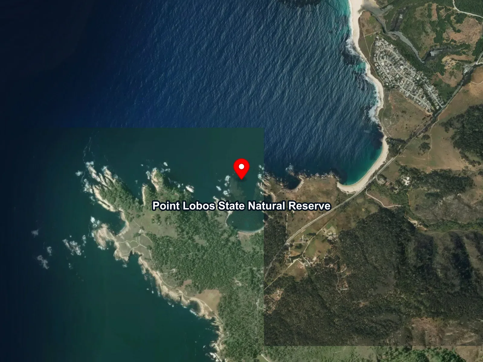
Monterey County, CA
 Open in Google Maps
 Open in Apple Maps
About Point Lobos State Natural Reserve
Point Lobos State Natural Reserve covers the granite headland just south of Carmel-by-the-Sea, on the coast between the Carmel Highlands and Big Sur. On land it holds one of only 2 native stands of Monterey cypress. Offshore, the Point Lobos State Marine Reserve protects about 5.5 square miles of water along 4.5 miles of shoreline. Scuba divers, freedivers, and snorkelers reach that water in 2 places only, Whalers Cove and Bluefish Cove, and every dive begins at the concrete ramp in Whalers Cove.
Point Lobos had a long working history before it became a reserve. Chinese fishing families lived on the west side of Whalers Cove from about 1850 until about 1879, and Portuguese whalers arrived in 1862 to hunt gray whales migrating from Alaska to Baja California, Mexico. The landowner Alexander Allan went into business with the Japanese marine biologist Gennosuke Kodani, and in 1902 Kodani built an abalone cannery on ground leveled by a granite quarry. That flat is still called Cannery Point. The state bought the headland from Allan's heirs in 1933. In 1960, 750 acres of water beside it became what the Point Lobos Foundation calls the first underwater reserve in the United States, and the protected water has since grown to its present size.
Both coves hold giant kelp. It anchors on the granite and grows to the surface, which makes the dive water a kelp forest biome. At the center of Bluefish Cove, a rock and sand bottom at 60 to 65 feet lies apart from the kelp-covered slopes, and that bottom is a rocky reef biome. The canyon biome starts at the mouth of the same cove, where a chain of pinnacles rises from water deeper than 100 feet, with steep faces and narrow ravines between them.
Entry costs $10 per vehicle, and the posted hours run from 8 a.m. to 7 p.m., with the last entry at 6:30 p.m. The reserve has about 150 parking spaces, against more than 1 million visitors in 2017. Vehicles longer than 21 feet may not enter, and dogs are not allowed. Diving requires an advance reservation, and the reserve takes only 10 teams of 2 divers a day, so a group of 3 needs 2 reservations. Divers can book any date in the current month or the next. Each diver pays $20 on weekdays or $30 on weekends and holidays, plus a processing fee, and shows a certification card at registration. Registration closes 2 hours before the reserve does. Only 4 boats may launch from the ramp each day. Outside Whalers Cove and Bluefish Cove, the reserve's shoreline is closed to diving and other water activity. NOAA Fisheries recommends staying at least 50 yards from seals and sea lions.
Fishing, spearfishing, and collecting of any kind are prohibited inside Point Lobos State Marine Reserve, which covers this water from the tide line down to 408 feet.
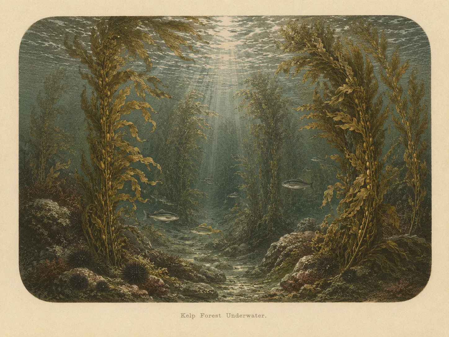
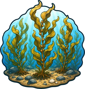
Kelp Forest
The kelp forest biome is giant kelp anchored to rocky bottom and growing up through the water column. The canopy and stipes form a three-dimensional habitat that shelters fish, invertebrates, and the predators that hunt them. Learn more about this biome and the species found in it by clicking the link below.
Learn more in the Biome Glossary
Rocky Reef
The rocky reef biome is bare rock, boulder, and cobble structure without a kelp canopy above it. The hard relief and its crevices shelter invertebrates and reef fish, and the structure concentrates life that the surrounding sand cannot hold. Learn more about this biome and the species found in it by clicking the link below.
Learn more in the Biome Glossary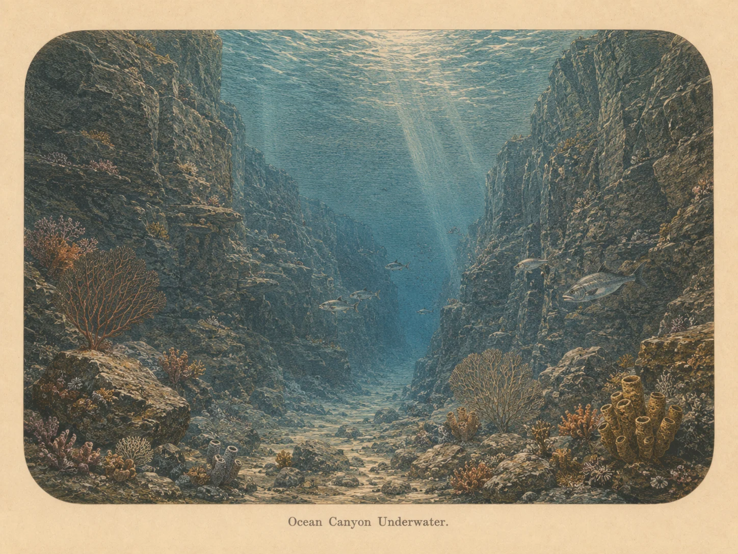
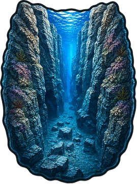
Canyon
The canyon biome is sharp vertical relief with a real depth change, including walls and drop-offs. The structure draws current-borne food and concentrates fish and large predators along its edges. Learn more about this biome and the species found in it by clicking the link below.
Learn more in the Biome GlossarySnorkel Species Report
Researched habitat and range candidates. A listed species may be seasonal or depth-limited; this is not a confirmed sighting at this location.
Nearby beaches
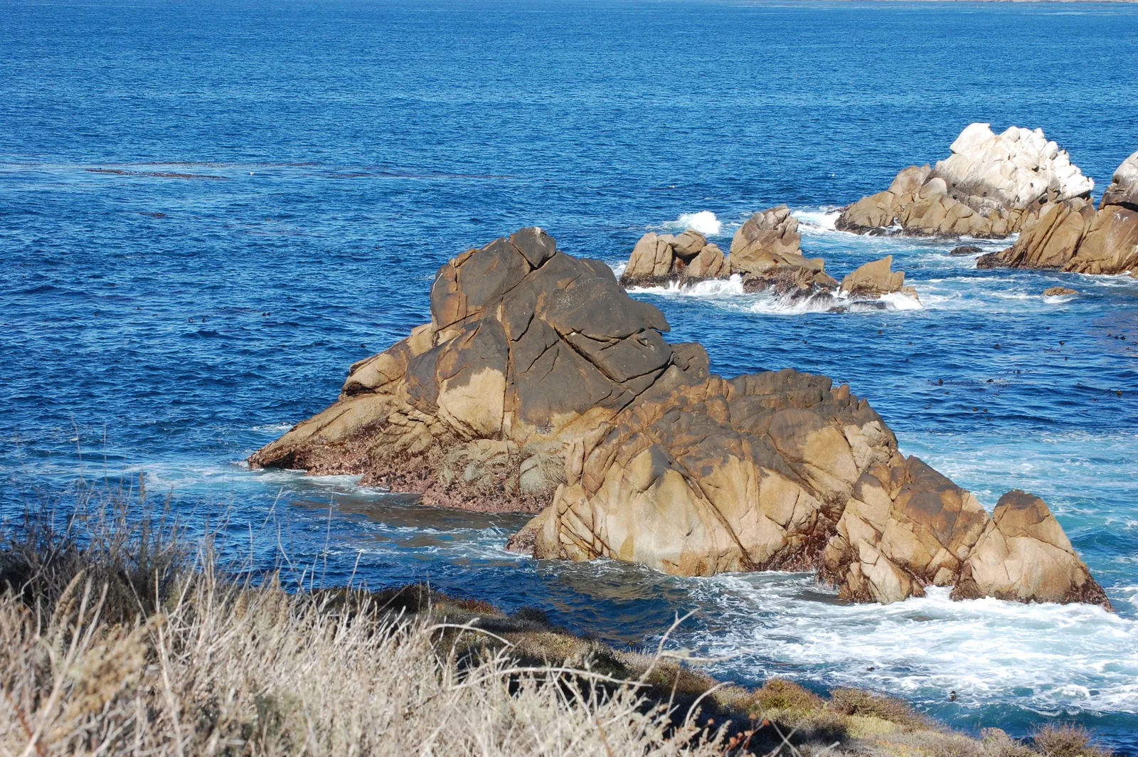
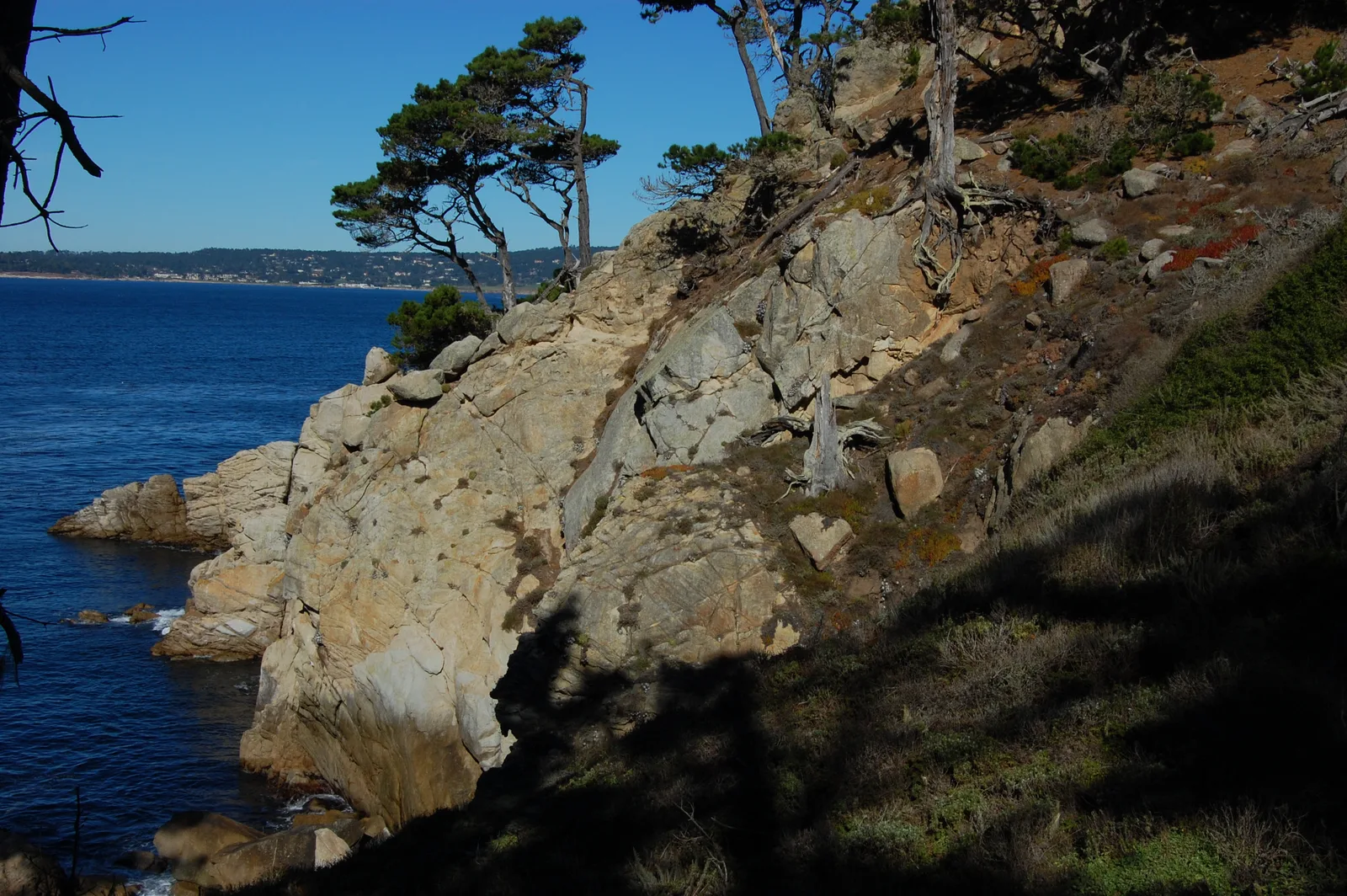
 Surf Zone
 Ocean Oracle Pro
Gain the Power
of the Oracle.
Ocean Oracle sees the future. Get 7-day visibility forecasts for every beach, alerts when a prime day is coming, and a dive log that remembers every dive.
Free shows you what the ocean looks like today. Ocean Oracle shows you the week ahead, watches your beaches for you, and remembers every dive.
Visibility predictions for the entire week ahead at any beach. Plan dives, schedule charters, and book trips without guessing.
When a beach on your watchlist is running good water, or the week ahead shows a good day coming, Ocean Oracle emails you. A prime window never slips past.
Every entry freezes that day's report: visibility, tide, swell, wind. Log catches, stamp Personal Bests, level up your guns, and light up your species life list.
The Coastal Bulletin greets members with the clearest water on the coast today and their own watchlist, before a single click.
Track your favorite beaches in one place. Forecasts and alerts for everywhere you dive.
A members-only board on every beach where taking fish is legal: how other members hunt the spot, with the gear, tide, season, and target species. Post your own and earn XP.
See the future. Dive on the right days.