
Long Beach
Long Beach · Los Angeles County · California

Did you dive today?Please share the visibility to make our algorithm more accurate.
Report visibilityToday's forecast
Updated 10:00 AM PT today · July 28, 2026Dawn is the clearest window — onshore wind picks up by late morning and surface chop stirs the bottom through the afternoon.
7-Day Forecast
Map · getting there
33.755° N · 118.149° W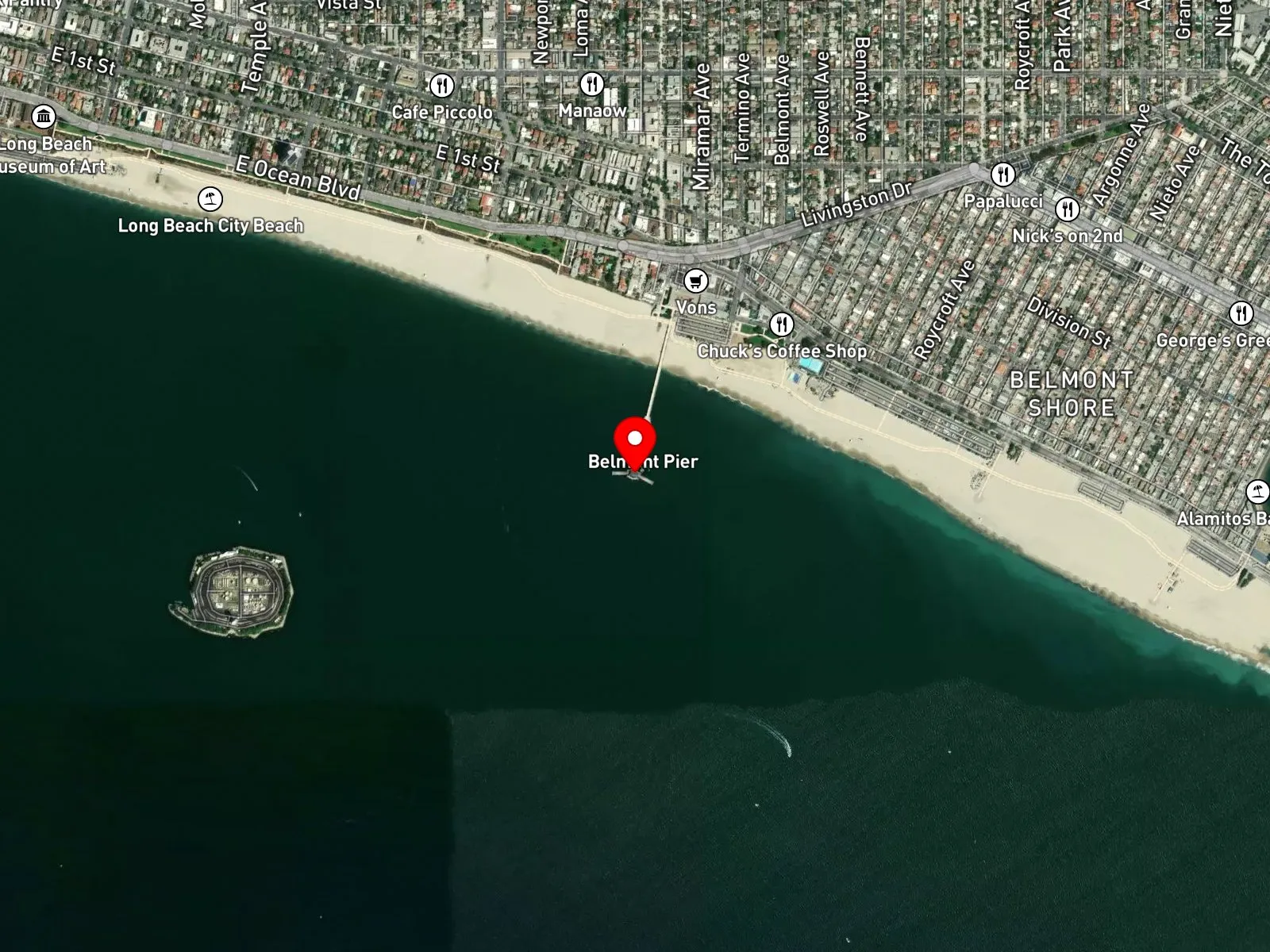
Long Beach, CA 90803
About Long Beach
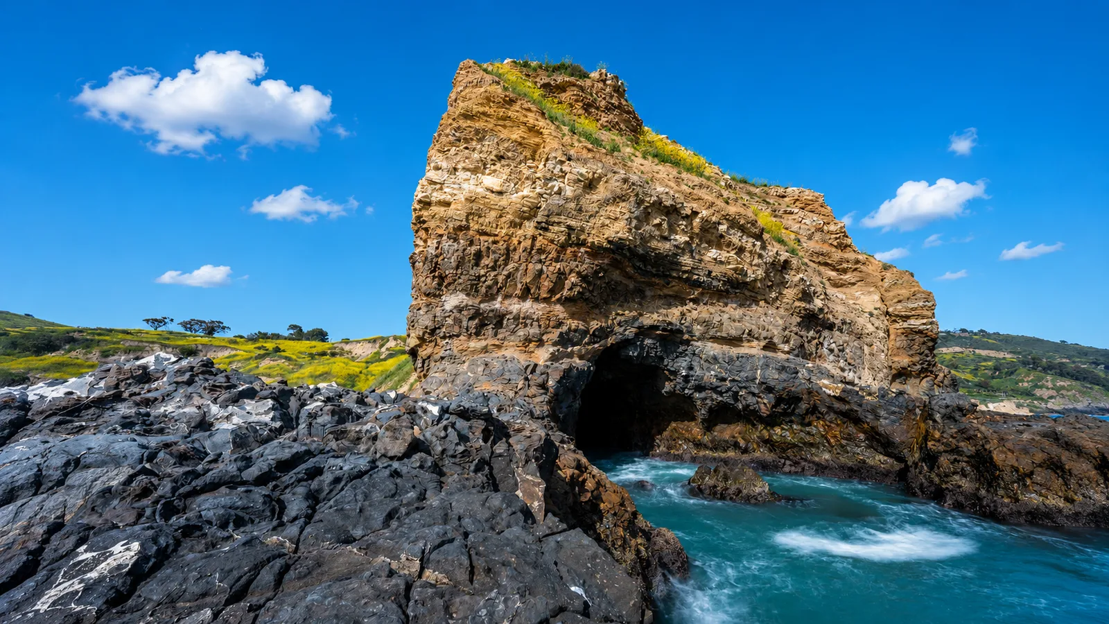
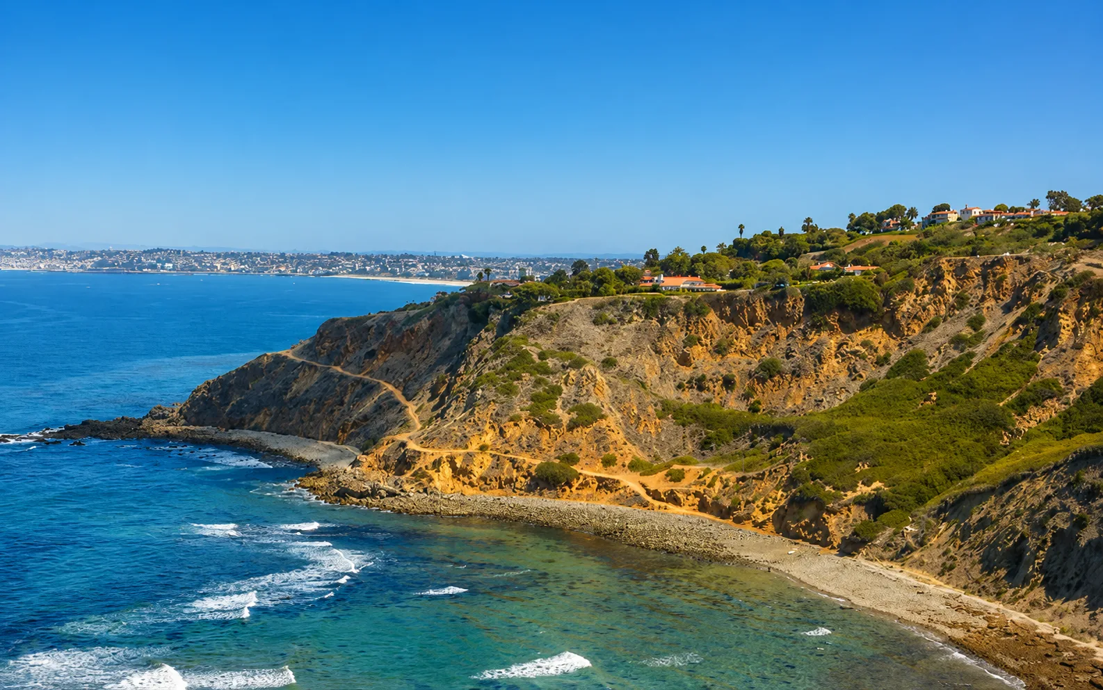
Long Beach runs five miles of Los Angeles County coastline, anchored at its center by Belmont Veterans Memorial Pier, a 1,620-foot concrete pier at 35 39th Place off Ocean Boulevard. The current pier was built in 1967 to replace an earlier wooden structure and was upgraded through the 2010s. The shoreline is broken into named segments: Alamitos Beach just east of downtown, Junipero Beach and Long Beach City Beach in the central stretch about a mile west of the pier, and Belmont Shore Beach extending east from the pier to 55th Place. Alamitos Bay and Naples Island sit immediately east of Belmont Shore. The defining structure of the central shoreline is the Long Beach federal breakwater, a two-mile rock wall built by the US Navy from 1942 to 1949 to protect the inner harbor from open-ocean swell. The breakwater has been the subject of a multi-decade reconfiguration debate over surf restoration and flood protection.
Inside the breakwater shadow the water is calm, with low wave energy and a sand bottom that supports halibut and bat ray. That makes the central beaches a bay biome. East of the pier, Belmont Shore Beach falls outside the breakwater's full effective shadow and takes breaking surf over a sand bottom, which puts that segment in a surf zone biome.
Hook-and-line fishing from Belmont Veterans Memorial Pier and from shore is a dominant use. Summer swimming is heavy along Junipero Beach and Long Beach City Beach. Paddleboarding is well-known on the protected water inside the breakwater and on Alamitos Bay, both of which serve as launch zones, and Belmont Shore Beach, outside the breakwater's shadow, draws some surfing. Spearfishing is legal along the open shoreline under standard California regulations but is uncommon at the central beaches, where there is no rocky structure or kelp to hold fish; snorkeling and scuba are uncommon for the same reason.
Belmont Veterans Memorial Pier has a paid lot at its base, with metered street parking on Ocean Boulevard. Junipero Beach and Alamitos Beach, one to two miles west, have additional paid lots along Shoreline Drive and Ocean Boulevard. Spaces fill on summer weekends, especially during the Long Beach Grand Prix and Pride. Spearfishing is prohibited within 1,000 feet of Belmont Veterans Memorial Pier per California Code of Regulations Title 14 § 1.88. The remaining stretch of beach is open under standard California regulations.
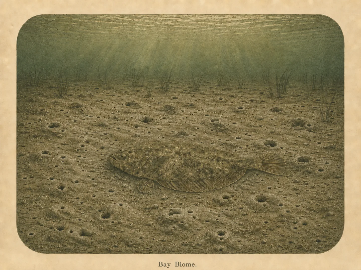
Bay
The bay biome is sheltered, low-energy water behind a jetty, headland, or harbor mouth. Reduced wave action lets fine sediment settle out and supports calm-water species and the juveniles that shelter there. Learn more about this biome and the species found in it by clicking the link below.
Learn more in the Biome Glossary
Surf Zone
The surf zone biome consists of sandy beaches and breaking waves. The action of surf disturbing the sand and kicking it up exposes marine invertebrates, buried in their shallow dens. This natural exposure of invertebrates attracts all kinds of fish, looking for an easy meal. Learn more about this biome and the species found in it by clicking the link below.
Learn more in the Biome GlossaryTarget Fish Species
Nearby beaches
Gain the Power
of the Oracle.
Ocean Oracle sees the future. Get 7-day visibility forecasts for every beach, plus alerts the night before clarity peaks — so you never miss a prime day.
Free shows you what the ocean looks like today. Ocean Oracle shows you the week ahead and the fish waiting for you down there.
Visibility predictions for the entire week ahead at any beach. Plan dives, schedule charters, book trips — without guessing.
The night before any beach hits prime conditions, Ocean Oracle pings your phone. Wake up knowing exactly where to go.
Track your favorite beaches in one place. Forecasts and alerts for everywhere you dive.
For every beach: what species are there, when they show up, and how to target them. Built by spearos, for spearos.
See the future. Dive on the right days.