
San Carlos Beach
Monterey · Monterey County · California


Did you dive today?Please share the visibility to make our algorithm more accurate.
Report visibility
Today's forecast
As of Oct 12, 8:02 PM PT · latest availableDawn is the clearest window. A late-morning onshore builds surface chop and gives up a few feet by the afternoon.
7-Day Forecast
Map · getting there
36.610° N · 121.895° W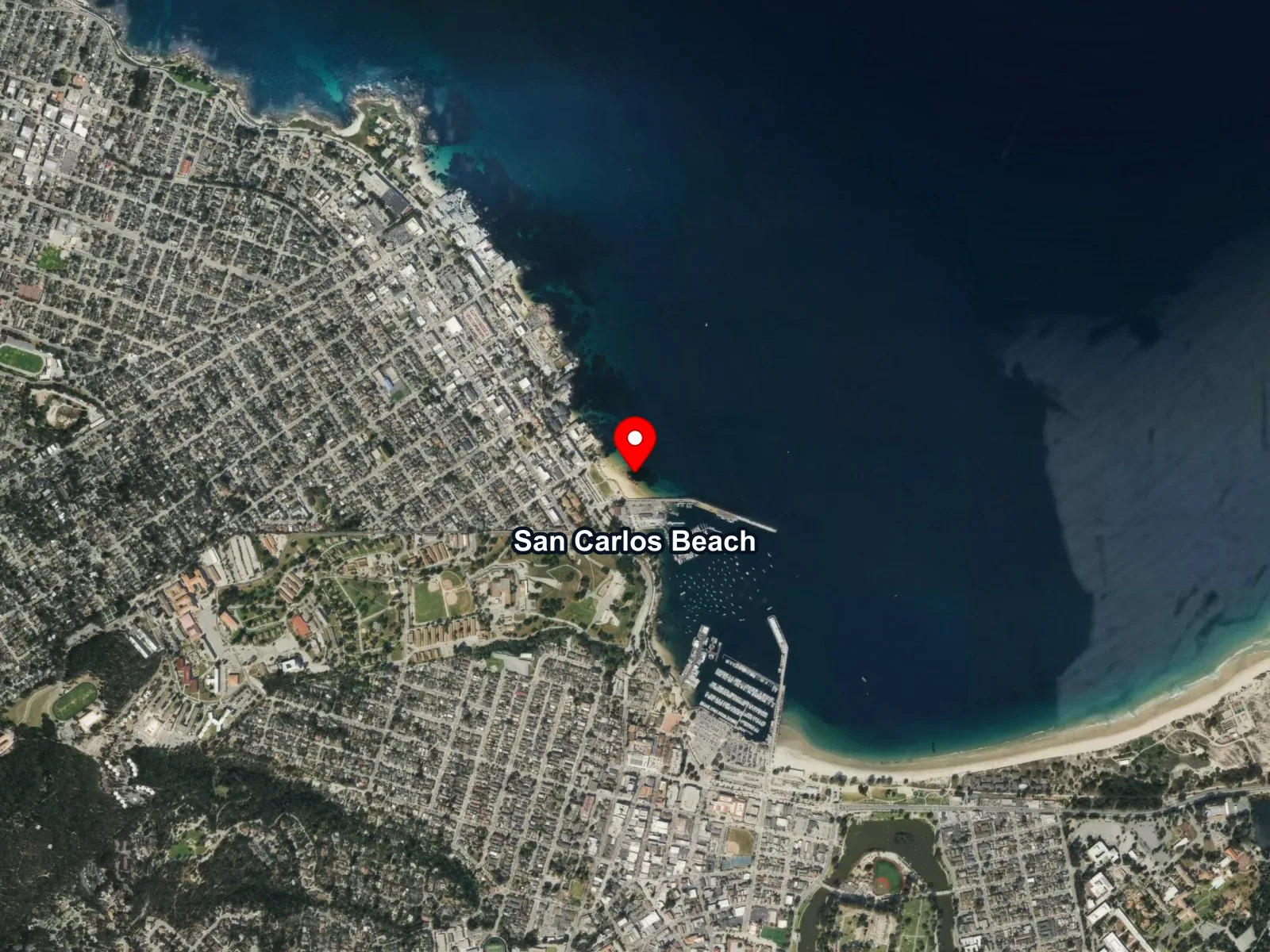
 Open in Google Maps
 Open in Apple Maps
About San Carlos Beach
San Carlos Beach is a small sand-bottom cove sheltered by the Coast Guard Pier breakwater at the harbor end of Cannery Row in Monterey. The breakwater and the shape of the cove keep the entry sheltered from most swell, and the sandy shoreline slopes gently into shallow water. Depths run from about 15 to 30 feet along the inshore reef and drop to roughly 65 feet at the offshore end of a decommissioned sardine pipe known as the Metridium Fields. That pipe once carried live sardines from moored purse seiners into the canneries on the row, and its full length is now coated in white metridium anemones. The riprap of the Coast Guard Pier forms a second feature, called the Breakwater Wall, where rocky structure holds nudibranchs and invertebrates from the surface down to about 40 feet. A resident sea-lion group hauls out along the outer rocks of the breakwater. The reserve on this water is named for Ed Ricketts, the marine biologist who worked in a lab across the street and was Steinbeck's real-life "Doc" of Cannery Row.
The sheltered sand at the entry is a surf zone biome with gentle wave action inside the cove. Coast Guard riprap and the offshore reef sections that carry no kelp canopy form a rocky reef biome. Offshore kelp inside the Edward F. Ricketts SMCA is a kelp forest biome, reachable on a short surface swim. San Carlos Beach is widely considered California's most popular scuba destination, and the calm cove sees heavy use by open-water classes, snorkelers, and freedivers. Boat traffic in and out of Monterey Harbor runs just south of the cove, so a surface float is standard practice.
Parking is at the San Carlos Beach Park lot at the top of the stairs, with pay-and-display rates of $1.50 per hour or $10 per day. The lot fills by about 7:15 a.m. on summer weekends, and metered street parking on Cannery Row and Reeside Avenue serves as overflow. Restrooms, rinse stations, and a grass staging area sit at the top of the stairs. Recreational take within the Edward F. Ricketts SMCA is limited to finfish by hook and line, so spearfishing is prohibited.
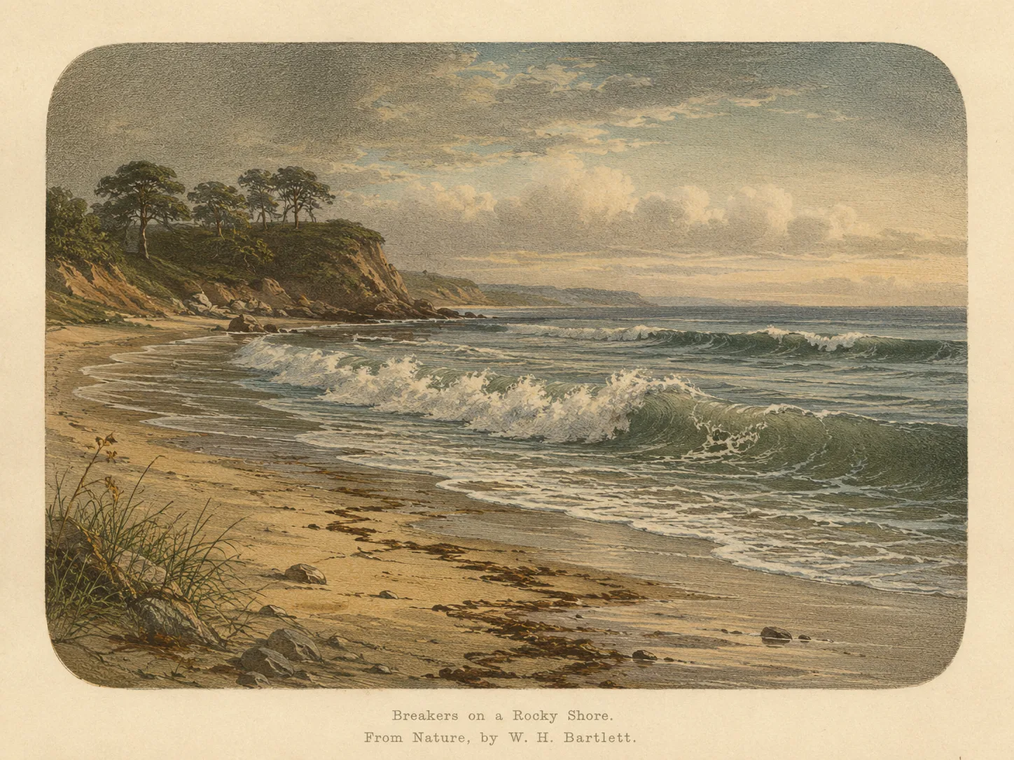
Surf Zone
The surf zone biome consists of sandy beaches and breaking waves. The action of surf disturbing the sand and kicking it up exposes marine invertebrates, buried in their shallow dens. This natural exposure of invertebrates attracts all kinds of fish, looking for an easy meal. Learn more about this biome and the species found in it by clicking the link below.
Learn more in the Biome Glossary
Rocky Reef
The rocky reef biome is bare rock, boulder, and cobble structure without a kelp canopy above it. The hard relief and its crevices shelter invertebrates and reef fish, and the structure concentrates life that the surrounding sand cannot hold. Learn more about this biome and the species found in it by clicking the link below.
Learn more in the Biome Glossary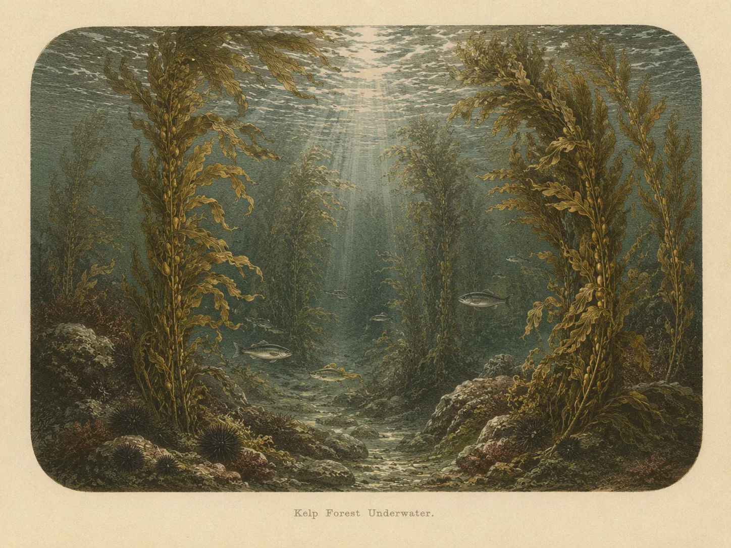
Kelp Forest
The kelp forest biome is giant kelp anchored to rocky bottom and growing up through the water column. The canopy and stipes form a three-dimensional habitat that shelters fish, invertebrates, and the predators that hunt them. Learn more about this biome and the species found in it by clicking the link below.
Learn more in the Biome GlossaryTarget Fish Species
Researched habitat and range candidates. A listed species may be seasonal or depth-limited; this is not a confirmed sighting at this location.
Nearby beaches
 Ocean Oracle Pro
Gain the Power
of the Oracle.
Ocean Oracle sees the future. Get 7-day visibility forecasts for every beach, alerts when a prime day is coming, and a dive log that remembers every dive.
Free shows you what the ocean looks like today. Ocean Oracle shows you the week ahead, watches your beaches for you, and remembers every dive.
Visibility predictions for the entire week ahead at any beach. Plan dives, schedule charters, and book trips without guessing.
When a beach on your watchlist is running good water, or the week ahead shows a good day coming, Ocean Oracle emails you. A prime window never slips past.
Every entry freezes that day's report: visibility, tide, swell, wind. Log catches, stamp Personal Bests, level up your guns, and light up your species life list.
The Coastal Bulletin greets members with the clearest water on the coast today and their own watchlist, before a single click.
Track your favorite beaches in one place. Forecasts and alerts for everywhere you dive.
A members-only board on every beach where taking fish is legal: how other members hunt the spot, with the gear, tide, season, and target species. Post your own and earn XP.
See the future. Dive on the right days.