
Del Monte Beach
Monterey · Monterey County · California


Did you dive today?Please share the visibility to make our algorithm more accurate.
Report visibility
Today's forecast
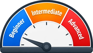
As of Oct 12, 8:02 PM PT · latest availableDawn is the clearest window. A late-morning onshore builds surface chop and gives up a few feet by the afternoon.
7-Day Forecast
Map · getting there
36.605° N · 121.871° W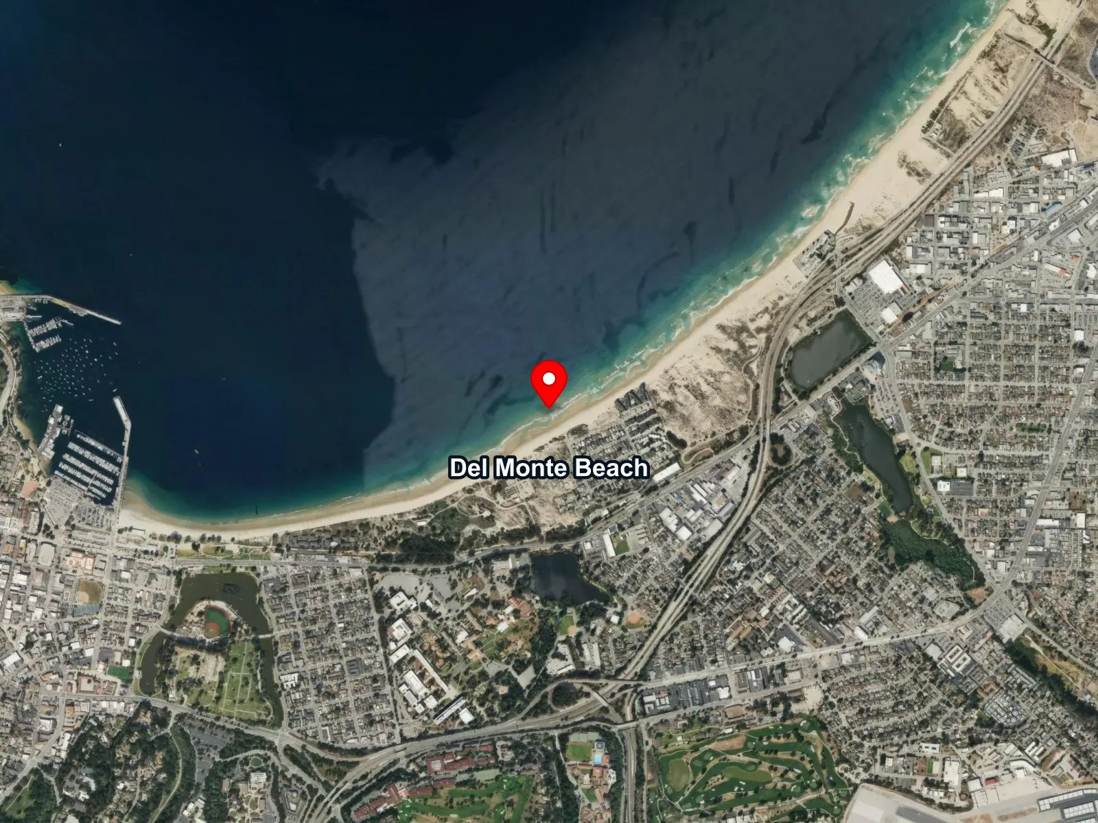
 Open in Google Maps
 Open in Apple Maps
About Del Monte Beach
Del Monte Beach is a long, sandy stretch of Monterey shoreline running east from Wharf #2 into Monterey State Beach. The wharf casts a wave shadow across the western end of the beach, and the sand bottom offshore of that shadow is flat and soft, with eelgrass carpeting the sea floor at about 15 to 25 feet. A sunken sailboat sits at roughly 25 feet, and a rusted World War II-era amtrack, an amphibious tracked landing vehicle, lies on the bottom about 40 yards from the sailboat on a 220-degree heading. Farther offshore, features called Shale Island and Tanker Reef extend the site out to around 35 feet.
The protected entry through the wharf's wave shadow is a surf zone biome, with the swell picking up as the beach curves east away from the wharf. Eelgrass carpeting the sand bottom offshore makes this a seagrass biome. Del Monte Beach is used as the training site of choice by Northern California dive schools, and the flat sand, minimal current, and shallow wrecks make it an easy shore entry for open-water classes, snorkelers, kayakers, and freedivers. Rental kayaks from Monterey Bay Kayaks cross the surface above the site, so a surface float is standard practice.
Parking is a free lot off Casa Verde Way, a paid lot at the foot of Wharf #2 that puts divers closest to the primary entry, and metered spots along Del Monte Avenue. Restrooms and outdoor showers sit near the Wharf #2 area, and the walk from the farther lots is a long gear haul across sand. Del Monte Beach is outside all California marine protected areas, so fishing and spearfishing are legal here under standard California regulations.
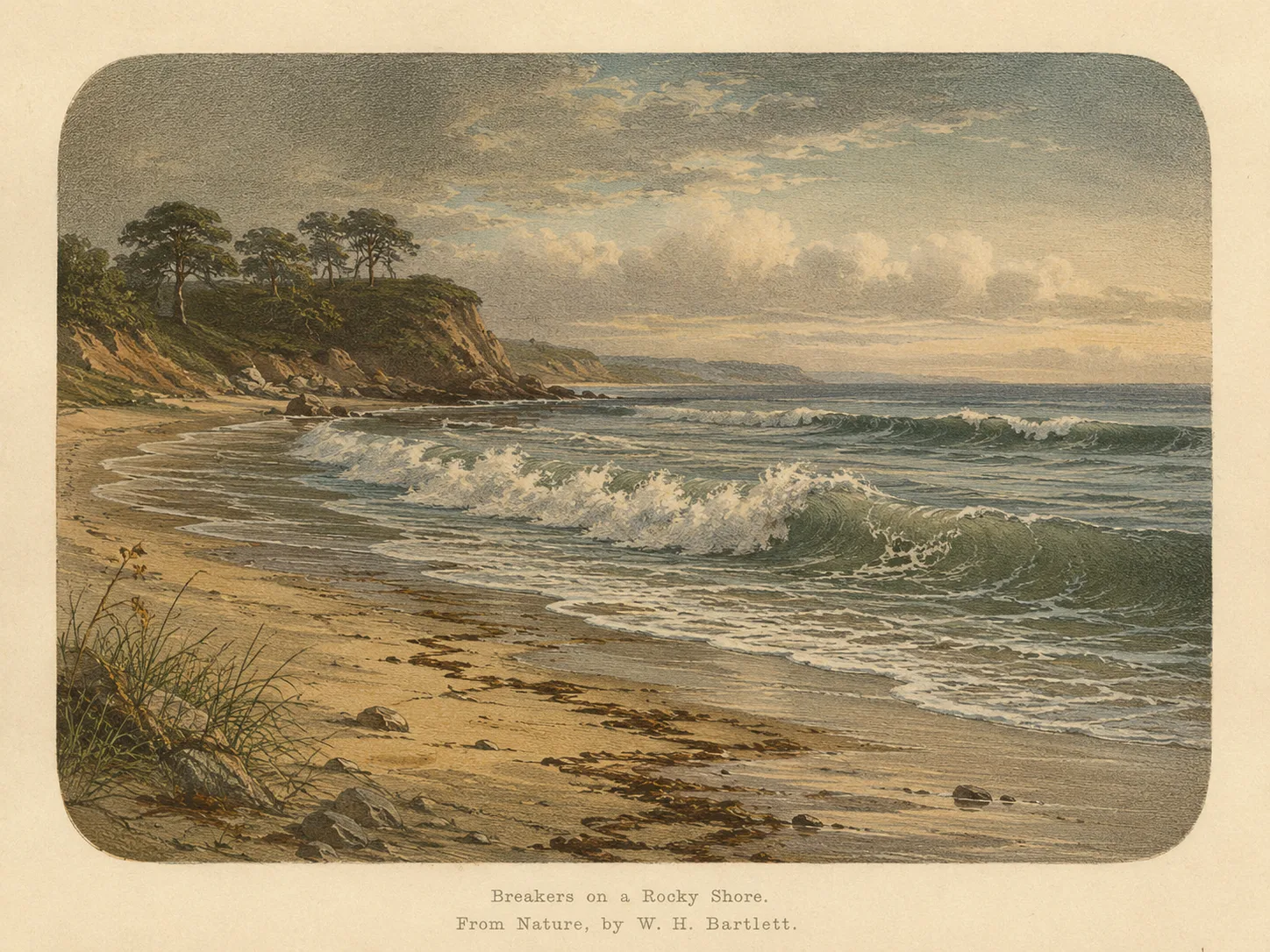
Surf Zone
The surf zone biome consists of sandy beaches and breaking waves. The action of surf disturbing the sand and kicking it up exposes marine invertebrates, buried in their shallow dens. This natural exposure of invertebrates attracts all kinds of fish, looking for an easy meal. Learn more about this biome and the species found in it by clicking the link below.
Learn more in the Biome Glossary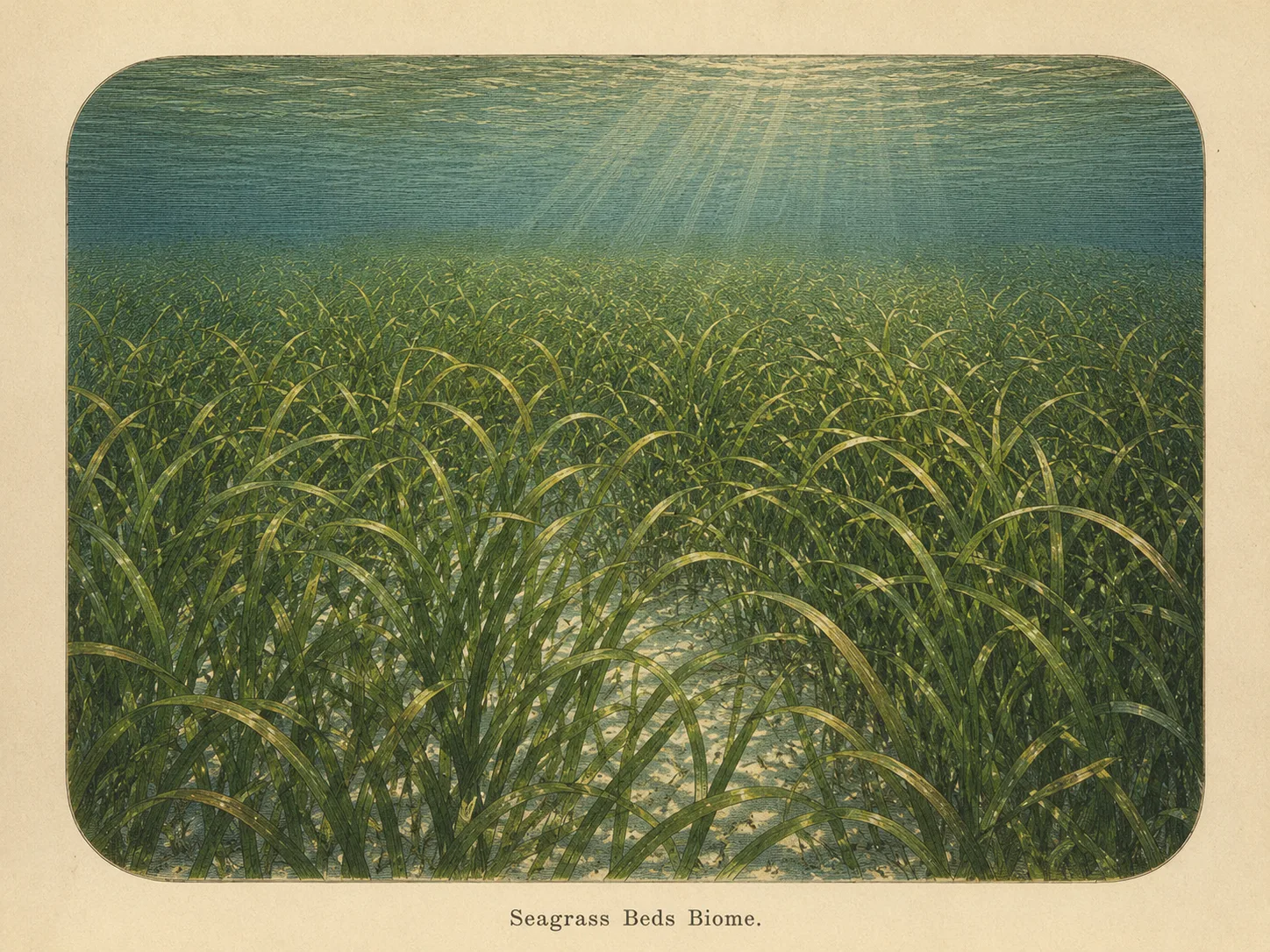
Seagrass Bed
The seagrass biome is sandy bottom carpeted with eelgrass or surfgrass. The blades shelter juvenile fish and invertebrates and stabilize the sediment against the current. Learn more about this biome and the species found in it by clicking the link below.
Learn more in the Biome GlossaryTarget Fish Species
Researched habitat and range candidates. A listed species may be seasonal or depth-limited; this is not a confirmed sighting at this location.
Spot strategies
Nearby beaches
 Rocky Reef
 Ocean Oracle Pro
Gain the Power
of the Oracle.
Ocean Oracle sees the future. Get 7-day visibility forecasts for every beach, alerts when a prime day is coming, and a dive log that remembers every dive.
Free shows you what the ocean looks like today. Ocean Oracle shows you the week ahead, watches your beaches for you, and remembers every dive.
Visibility predictions for the entire week ahead at any beach. Plan dives, schedule charters, and book trips without guessing.
When a beach on your watchlist is running good water, or the week ahead shows a good day coming, Ocean Oracle emails you. A prime window never slips past.
Every entry freezes that day's report: visibility, tide, swell, wind. Log catches, stamp Personal Bests, level up your guns, and light up your species life list.
The Coastal Bulletin greets members with the clearest water on the coast today and their own watchlist, before a single click.
Track your favorite beaches in one place. Forecasts and alerts for everywhere you dive.
A members-only board on every beach where taking fish is legal: how other members hunt the spot, with the gear, tide, season, and target species. Post your own and earn XP.
See the future. Dive on the right days.