
Asilomar State Beach
Pacific Grove · Monterey County · California


Did you dive today?Please share the visibility to make our algorithm more accurate.
Report visibility
Today's forecast
As of Oct 12, 8:02 PM PT · latest availableDawn is the clearest window — onshore wind picks up by late morning and surface chop stirs the bottom through the afternoon.
7-Day Forecast
Map · getting there
36.621° N · 121.944° W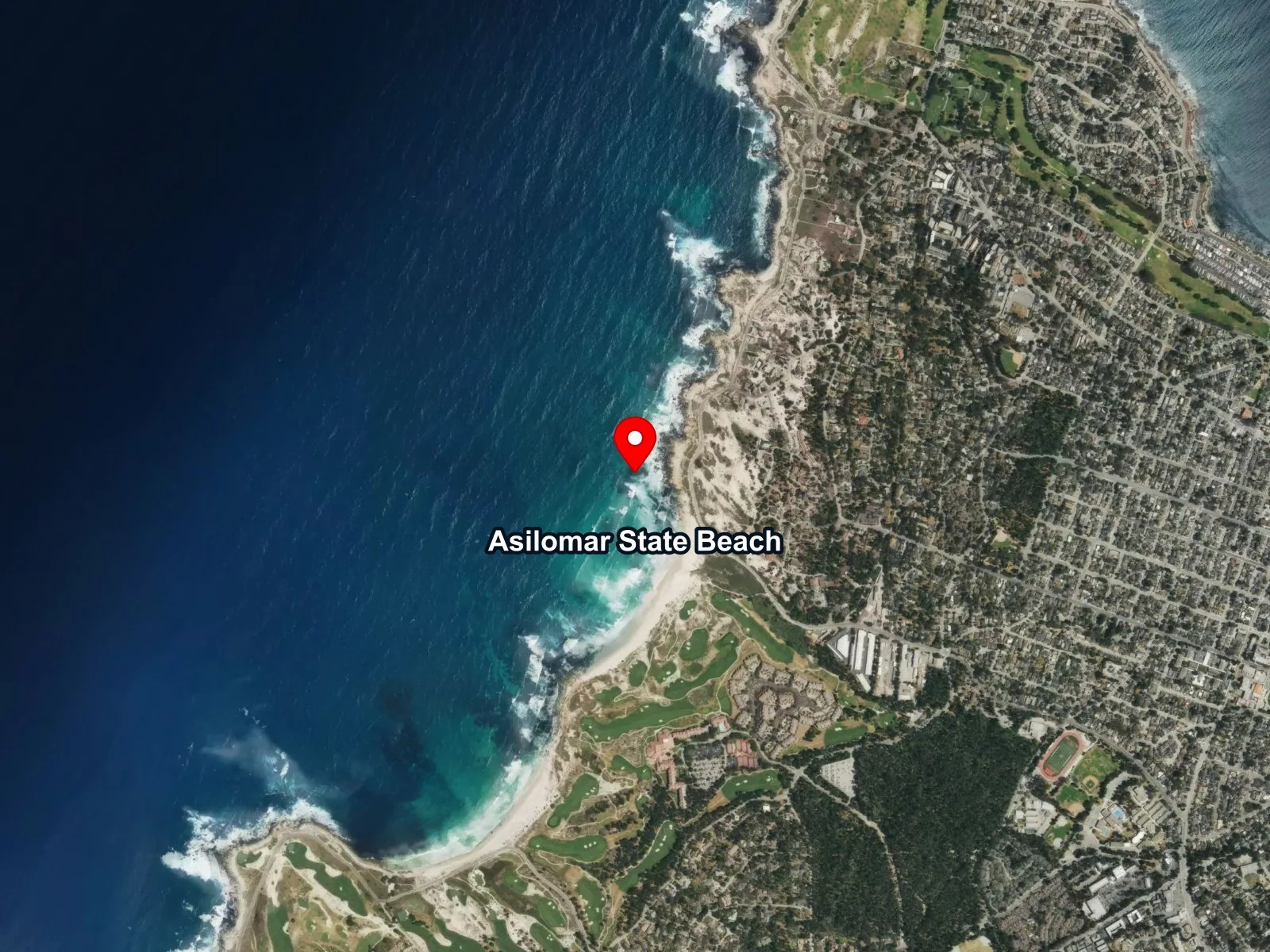
 Open in Google Maps
 Open in Apple Maps
About Asilomar State Beach
Asilomar State Beach runs roughly 2 miles along Sunset Drive on the southwest side of the Monterey Peninsula, from Point Pinos south to Point Joe. Sand is broken by rocky headlands and pocket coves along its length, and the Pacific groundswell breaks consistently from the west and northwest. The Coast Trail follows the bluffs above. Immediately inland sit the Asilomar Conference Grounds, developed starting in 1913 as a YWCA camp with buildings by Julia Morgan; California acquired the property in 1956.
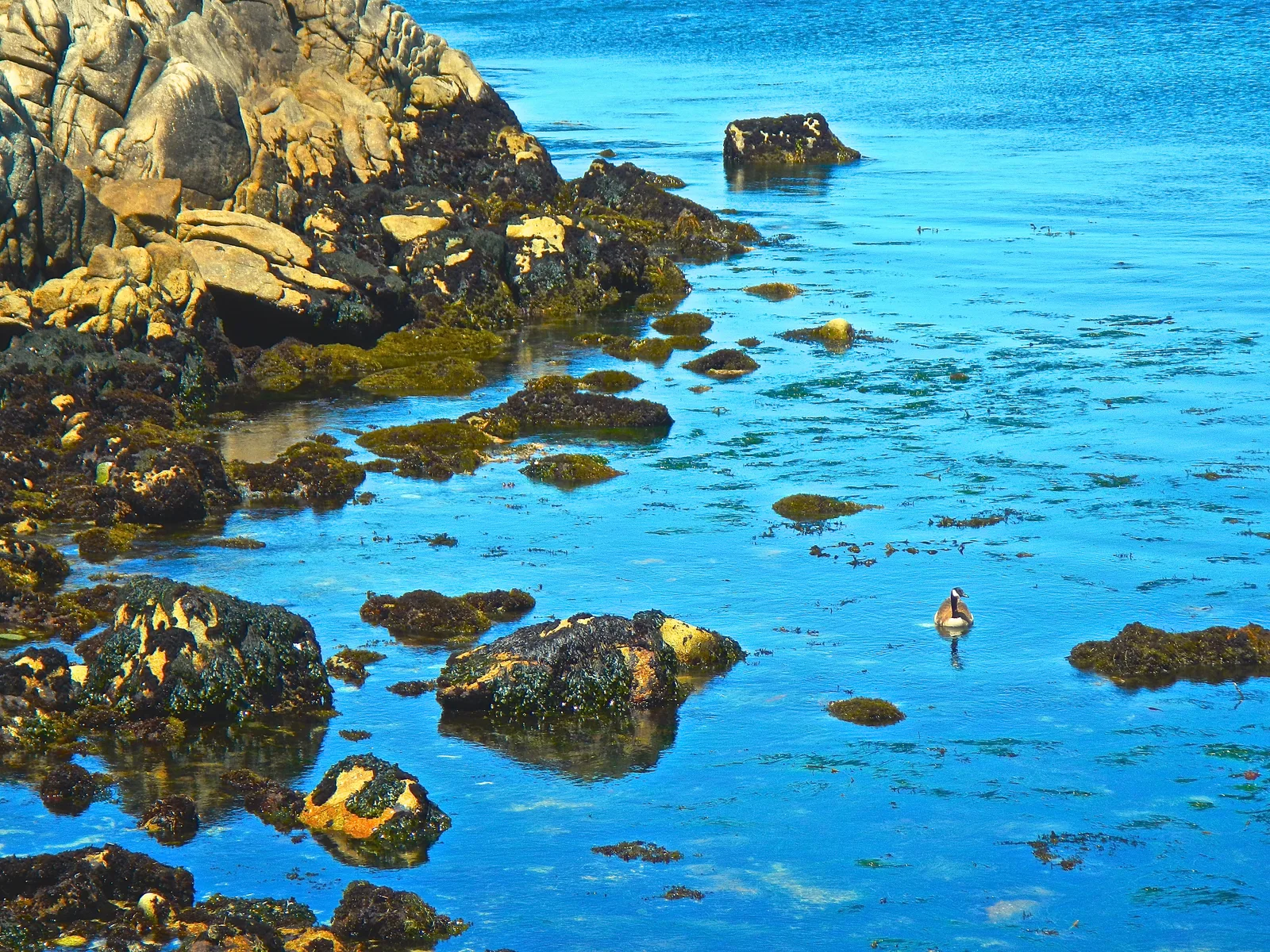
The sandy beach with its consistent breaking surf is a surf zone biome. Rocky outcrops interrupting the sand along the shore make this a rocky reef biome. The rocky headlands also hold a Tidepools biome, exposed at low tide inside the reserve. Offshore kelp beds within the reserve add a kelp forest biome, though the surf-zone exposure limits calm-water windows. Surfing draws heavy use at Asilomar State Beach, and tidepooling and wildlife watching are steady along the rocky headlands. Scuba use here is light compared to the sheltered north-shore sites, and snorkelers work the calmer pockets between rocks. Strong rip currents and rocky outcrops in the surf zone are ongoing hazards, and fog is frequent through the peninsula microclimate.
Parking is spread across 27 free pullouts along Sunset Drive, with restrooms and outdoor showers at the main crossing. The lots rarely fill because access spreads over the whole shoreline. Take of any marine resource is prohibited within the Asilomar SMR, which is a no-take reserve.
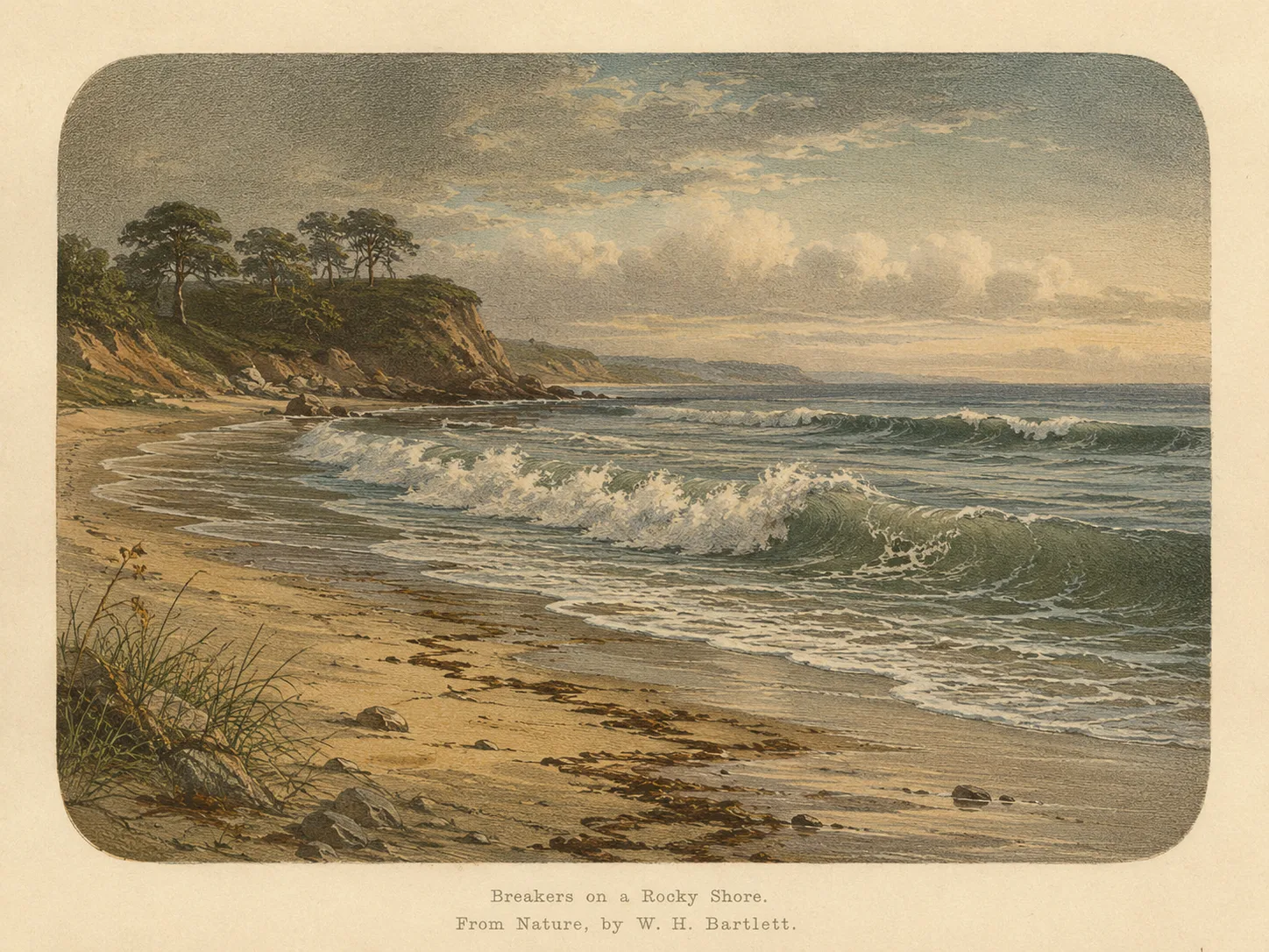
Surf Zone
The surf zone biome consists of sandy beaches and breaking waves. The action of surf disturbing the sand and kicking it up exposes marine invertebrates, buried in their shallow dens. This natural exposure of invertebrates attracts all kinds of fish, looking for an easy meal. Learn more about this biome and the species found in it by clicking the link below.
Learn more in the Biome Glossary
Rocky Reef
The rocky reef biome is bare rock, boulder, and cobble structure without a kelp canopy above it. The hard relief and its crevices shelter invertebrates and reef fish, and the structure concentrates life that the surrounding sand cannot hold. Learn more about this biome and the species found in it by clicking the link below.
Learn more in the Biome Glossary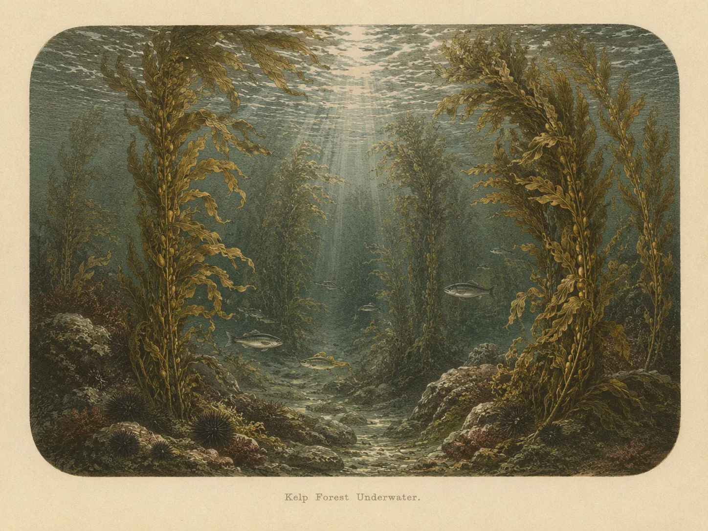
Kelp Forest
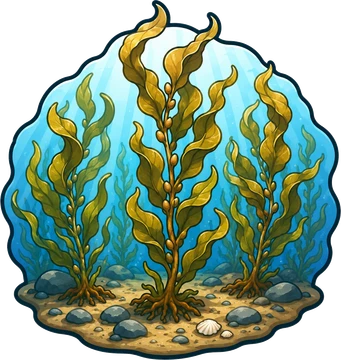
The kelp forest biome is giant kelp anchored to rocky bottom and growing up through the water column. The canopy and stipes form a three-dimensional habitat that shelters fish, invertebrates, and the predators that hunt them. Learn more about this biome and the species found in it by clicking the link below.
Learn more in the Biome Glossary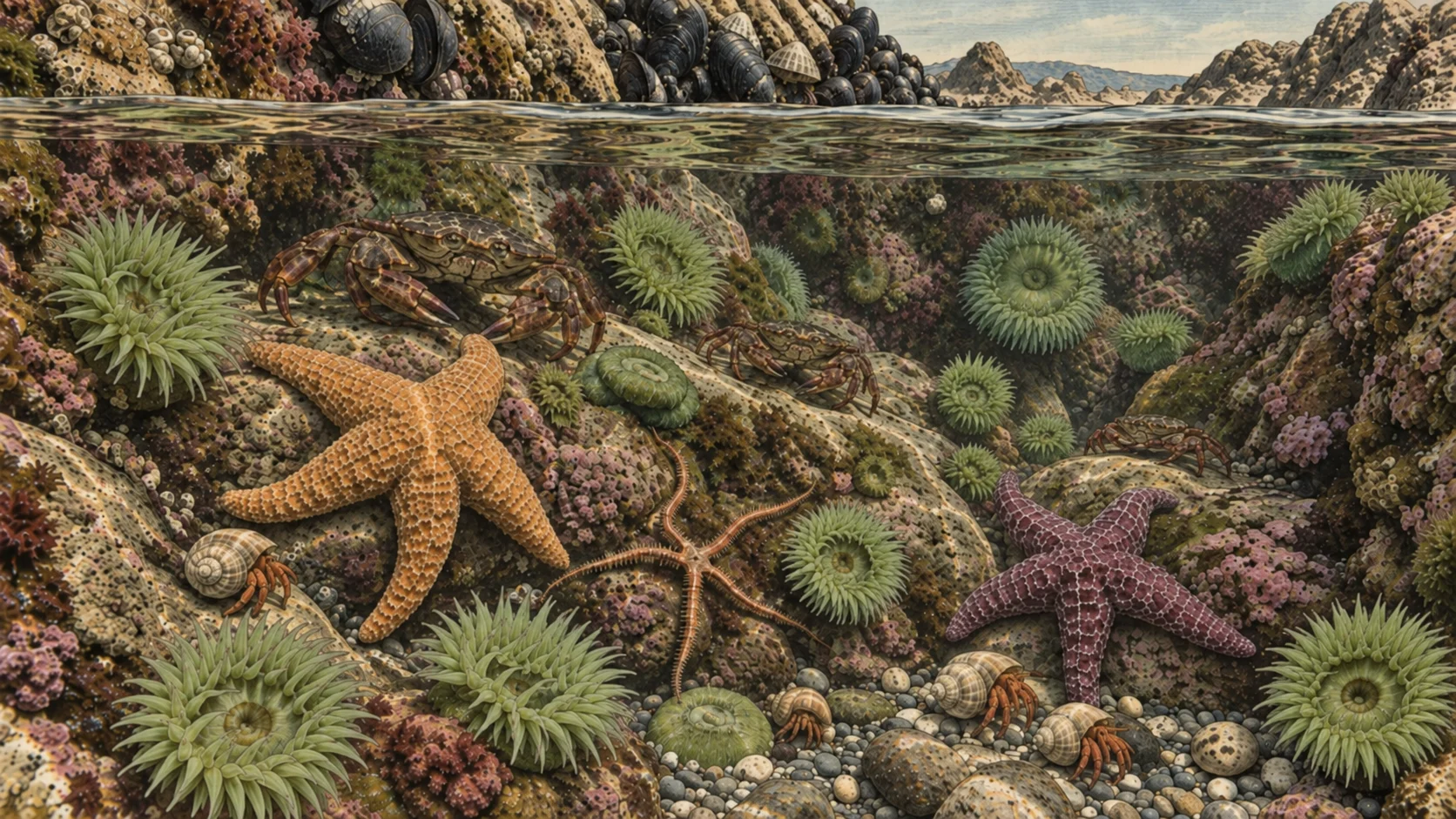
Tidepools
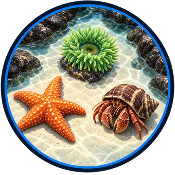
The tidepool biome is rocky shore that the ocean covers at high tide and uncovers at low tide. Pools left behind in the rock hold anemones, sea stars, urchins, snails, crabs, and small fish that can handle hours of sun and air between tides. Learn more about this biome and the species found in it by clicking the link below.
Learn more in the Biome GlossarySnorkel Species Report
Researched habitat and range candidates. A listed species may be seasonal or depth-limited; this is not a confirmed sighting at this location.
Nearby beaches
 Ocean Oracle Pro
Gain the Power
of the Oracle.
Ocean Oracle sees the future. Get 7-day visibility forecasts for every beach, alerts when a prime day is coming, and a dive log that remembers every dive.
Free shows you what the ocean looks like today. Ocean Oracle shows you the week ahead, watches your beaches for you, and remembers every dive.
Visibility predictions for the entire week ahead at any beach. Plan dives, schedule charters, and book trips without guessing.
When a beach on your watchlist is running good water, or the week ahead shows a good day coming, Ocean Oracle emails you. A prime window never slips past.
Every entry freezes that day's report: visibility, tide, swell, wind. Log catches, stamp Personal Bests, level up your guns, and light up your species life list.
The Coastal Bulletin greets members with the clearest water on the coast today and their own watchlist, before a single click.
Track your favorite beaches in one place. Forecasts and alerts for everywhere you dive.
A members-only board on every beach where taking fish is legal: how other members hunt the spot, with the gear, tide, season, and target species. Post your own and earn XP.
See the future. Dive on the right days.