
Oceanside Harbor Beach
Oceanside · San Diego County · California


Did you dive today?Please share the visibility to make our algorithm more accurate.
Report visibility

Today's forecast
Updated 6:06 AM PT today · July 28, 2026Dawn is the clearest window — onshore wind picks up by late morning and surface chop stirs the bottom through the afternoon.
7-Day Forecast
Map · getting there
33.204° N · 117.394° WOceanside, CA 92054
 Open in Google Maps
 Open in Apple Maps
About Oceanside Harbor Beach
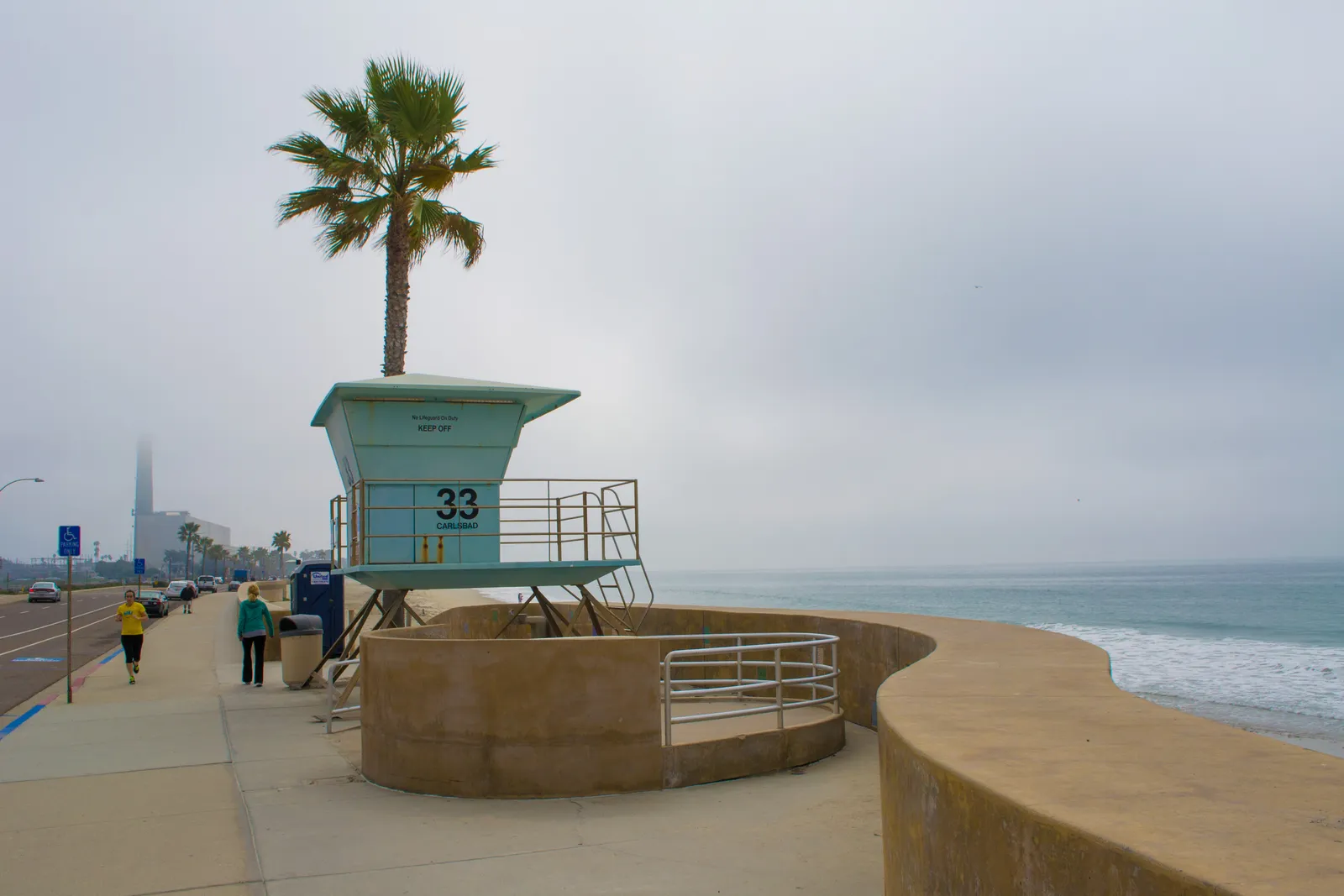
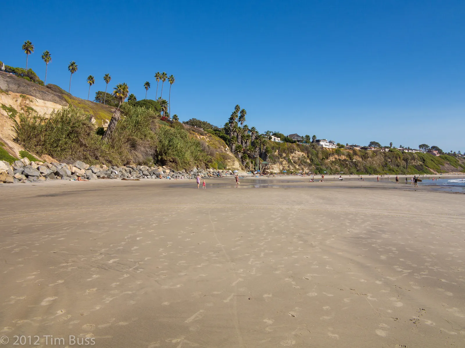
Oceanside Harbor Beach is a wide sand beach on the ocean side of Oceanside Harbor, boxed between two rubble-mound jetties in northern San Diego County. To the south, the roughly 1,000-foot South Jetty and its 350-foot extension mark the harbor entrance. To the north, the North Jetty runs out along Camp Pendleton's Del Mar Boat Basin. The strip in between is about a quarter mile from street to surf, one of the widest beaches in San Diego County, with lifeguards posted at towers 10, 12, and 14 from south to north. Behind the sand, on the harbor side, are the marina slips, the Cape Cod-style Harbor Village retail row, and Helgren's sportfishing landing. The San Luis Rey River mouth and Oceanside Pier lie about 1.5 to 2 miles south, past the harbor entrance.
The harbor itself was authorized through a land transfer from Camp Pendleton between 1959 and 1961, broke ground in 1961, and opened in June 1963 with about 520 slips. It has functioned as a sand trap ever since, and the Army Corps of Engineers has dredged it repeatedly to keep the entrance channel navigable.
Because the beach faces open west into a full wave field and takes rip and longshore currents along the sand, it is a surf zone biome. Seaward of the break the bottom is open sand from the shore out through the shallows, which makes the swimming water a sandy plain biome. The rubble rock of the two jetties forms an artificial reef in otherwise sandy surroundings, and that structure gives the site a rocky reef biome along the rock lines where sand meets stone at roughly 8 to 15 feet.
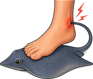
Access is by car off Harbor Drive North. Pay-and-display lots run along Harbor Drive North near the beach and typically fill on summer weekends and holidays. A free all-day lot sits east of the railroad tracks under the Harbor Drive tunnel and rarely fills, with a short walk back to the sand. Surfing and swimming draw the most use along the open sand, while surf anglers work the beach and jetty rocks and spearfishers take the jetty structure for sand bass and calico. Rip currents cause most of the lifeguard rescues here. A strong tidal current runs along the jetty rocks toward the harbor mouth on the outgoing tide. Stingrays are common in the shallows, and visibility typically holds between 5 and 15 feet from river runoff and harbor sediment. Boat traffic through the harbor entrance is heavy, and diving or spearing in the channel is not safe. No marine protected area covers this stretch of coast, so fishing and spearfishing are legal under standard California regulations, though city ordinance prohibits alcohol and dogs on the beach year-round.
Surf Zone
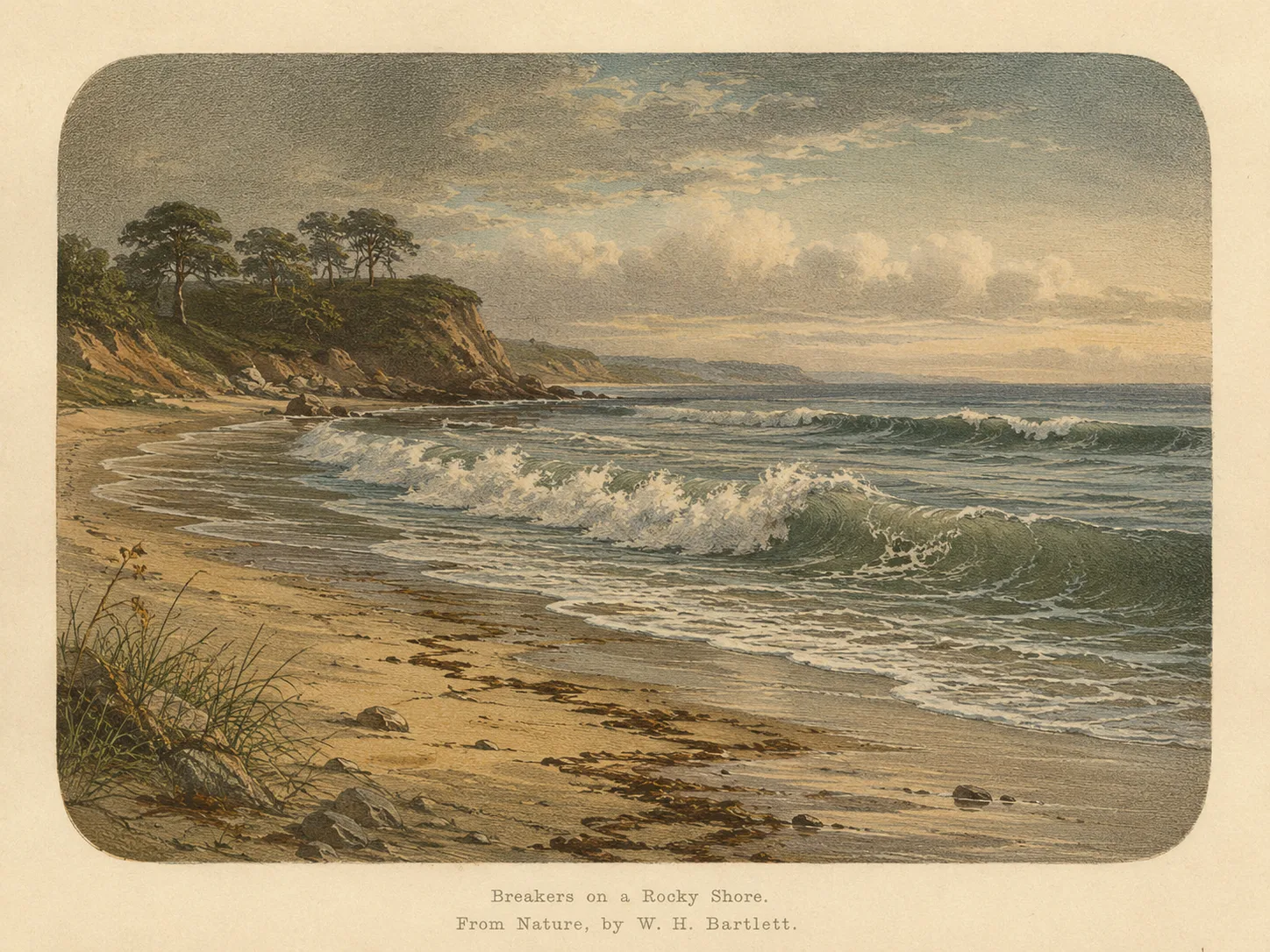
The surf zone biome consists of sandy beaches and breaking waves. The action of surf disturbing the sand and kicking it up exposes marine invertebrates, buried in their shallow dens. This natural exposure of invertebrates attracts all kinds of fish, looking for an easy meal. Learn more about this biome and the species found in it by clicking the link below.
Learn more in the Biome Glossary
Rocky Reef
The rocky reef biome is bare rock, boulder, and cobble structure without a kelp canopy above it. The hard relief and its crevices shelter invertebrates and reef fish, and the structure concentrates life that the surrounding sand cannot hold. Learn more about this biome and the species found in it by clicking the link below.
Learn more in the Biome GlossaryTarget Fish Species
Nearby beaches
 Ocean Oracle Pro
Gain the Power
of the Oracle.
Ocean Oracle sees the future. Get 7-day visibility forecasts for every beach, plus alerts the night before clarity peaks — so you never miss a prime day.
Free shows you what the ocean looks like today. Ocean Oracle shows you the week ahead and the fish waiting for you down there.
Visibility predictions for the entire week ahead at any beach. Plan dives, schedule charters, book trips — without guessing.
The night before any beach hits prime conditions, Ocean Oracle pings your phone. Wake up knowing exactly where to go.
Track your favorite beaches in one place. Forecasts and alerts for everywhere you dive.
For every beach: what species are there, when they show up, and how to target them. Built by spearos, for spearos.
See the future. Dive on the right days.