
Carlsbad State Beach
Carlsbad · San Diego County · California

Did you dive today?Please share the visibility to make our algorithm more accurate.
Report visibilityToday's forecast
Updated 10:00 AM PT today · July 28, 2026Dawn is the clearest window — onshore wind picks up by late morning and surface chop stirs the sand and cobble through the afternoon.
7-Day Forecast
Map · getting there
33.158° N · 117.351° W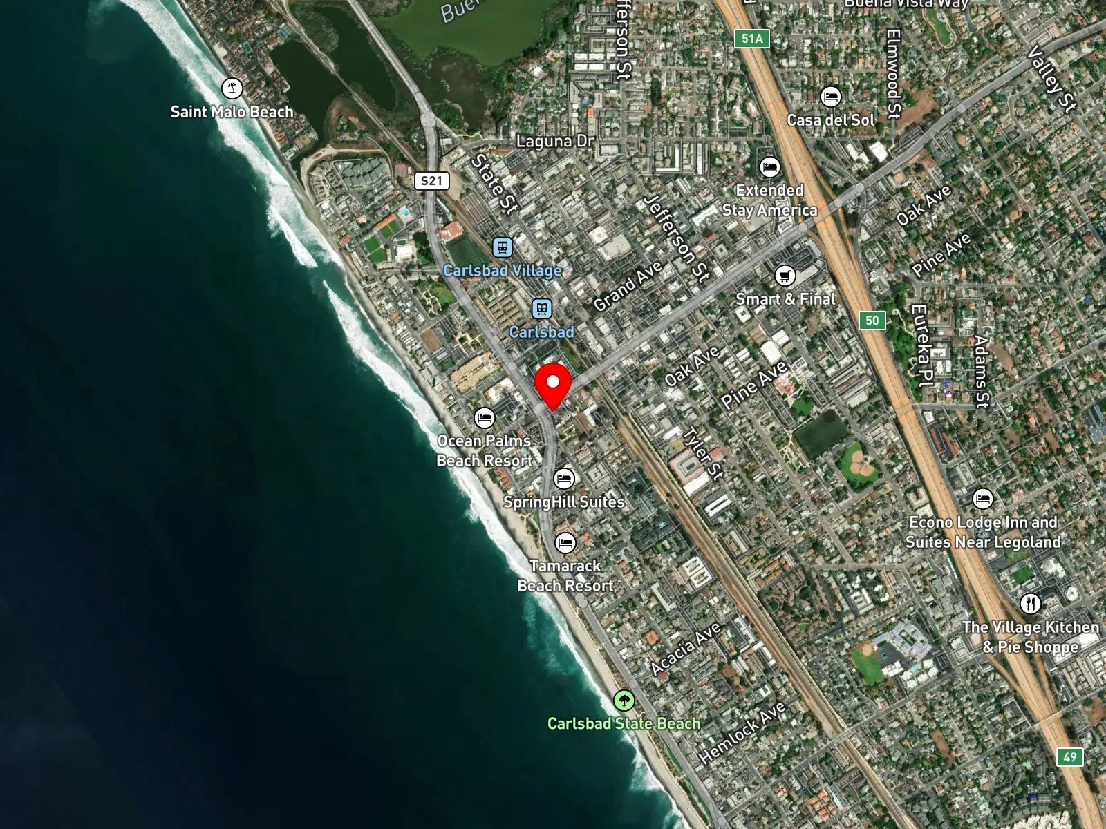
Carlsbad, CA 92008
About Carlsbad State Beach
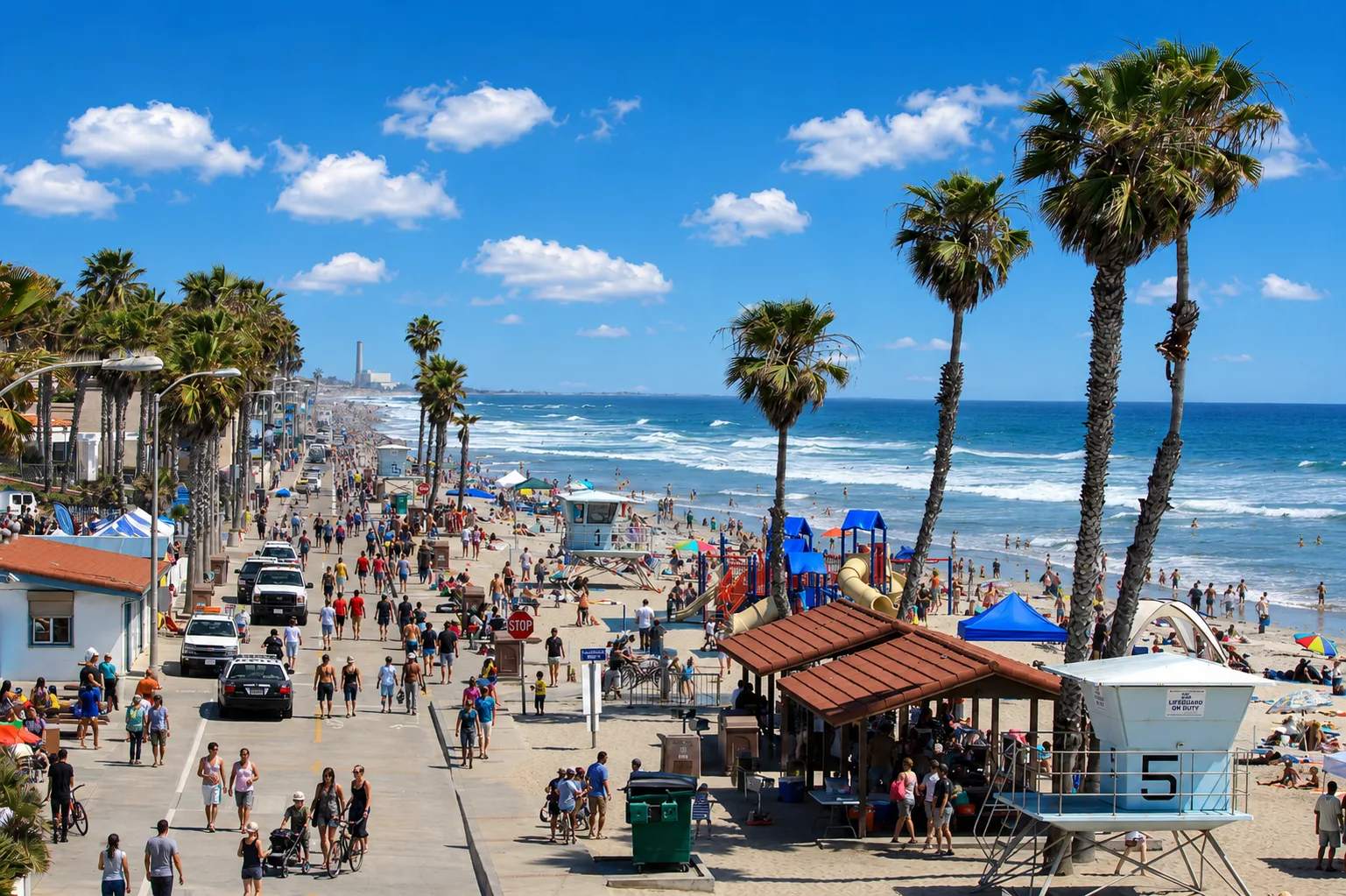
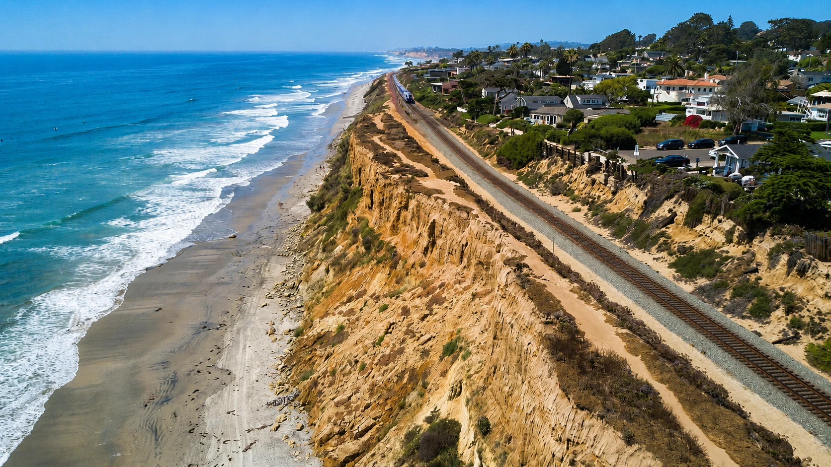
Carlsbad State Beach runs along the city of Carlsbad in northern San Diego County, a long sand-and-cobble shoreline stretching from the warm-water jetties just south of Tamarack Avenue north to Carlsbad Village Drive. A seawall holds the upper edge of the beach the whole way, with a paved walking promenade on top. Tower 33 sits mid-beach as the main lifeguard station, and the Encina Power Station chimney rises to the north. Carlsbad Boulevard runs the bluff above. South Carlsbad State Beach, a separate state-beach unit best known for its bluff-top campground, picks up south of Tamarack Avenue.
The bottom is sand and cobble, with breaking surf and no offshore reef or kelp of consequence, which makes the spot a surf zone biome. Swimming, surfing, and hook-and-line surf fishing draw the most use; the absence of rocky structure or kelp keeps spearfishing, snorkeling, and scuba uncommon. Surf is mild relative to the rest of North County.
The paid state lot at Tamarack Avenue and Carlsbad Boulevard charges $2 per hour or $10 per day, and fills on summer weekends. An annual California State Parks pass at $125 covers the lot fees and is sold at the local state parks office at 2680 Carlsbad Boulevard. Free street parking is available on the residential streets perpendicular to Carlsbad Boulevard. Fishing and spearfishing are legal here under standard California regulations.

Surf Zone
The surf zone biome consists of sandy beaches and breaking waves. The action of surf disturbing the sand and kicking it up exposes marine invertebrates, buried in their shallow dens. This natural exposure of invertebrates attracts all kinds of fish, looking for an easy meal. Learn more about this biome and the species found in it by clicking the link below.
Learn more in the Biome GlossaryTarget Fish Species
Nearby beaches
Gain the Power
of the Oracle.
Ocean Oracle sees the future. Get 7-day visibility forecasts for every beach, plus alerts the night before clarity peaks — so you never miss a prime day.
Free shows you what the ocean looks like today. Ocean Oracle shows you the week ahead and the fish waiting for you down there.
Visibility predictions for the entire week ahead at any beach. Plan dives, schedule charters, book trips — without guessing.
The night before any beach hits prime conditions, Ocean Oracle pings your phone. Wake up knowing exactly where to go.
Track your favorite beaches in one place. Forecasts and alerts for everywhere you dive.
For every beach: what species are there, when they show up, and how to target them. Built by spearos, for spearos.
See the future. Dive on the right days.