
Coronado Islands
Baja California, Mexico · San Diego charter

Did you dive today?Please share the visibility to make our algorithm more accurate.
Report visibility

Today's forecast
Updated 6:06 AM PT today · July 28, 2026Dawn is the clearest window. A late-morning onshore builds surface chop and gives up a few feet by the afternoon.
7-Day Forecast
Map · getting there
32.417° N · 117.260° WCharter from San Diego
 Open in Google Maps
 Open in Apple Maps
About Coronado Islands
Islas Los Coronados are a chain of four granitic fault-block islands strung about eight kilometers northwest to southeast in Mexican water, roughly 15 miles south of San Diego and about seven miles south of the border. From north to south the group runs Coronado Norte, Coronado Centro, the small pyramid of Middle Rock, and Coronado Sur, the largest of the four at about two miles long and rising to 205 meters at its southern summit. The islands are part of the Peninsular Ranges Batholith, so the rock is granite and metamorphic basement, not the volcanic material sometimes assumed offshore. Steep escarpments drop straight from the cliffs into a rocky bottom, giant kelp fringes the shores, and the sea floor plunges past 1,100 meters within a short distance to the west. A charter out of San Diego reaches the islands in about an hour.
The water is clearer than the mainland San Diego coast, with 30 to 80 feet of visibility on typical days and around 100 feet on the best. Two things drive that. The islands sit on the edge of the continental shelf, and deep cold currents sweep them with clean pelagic water from offshore. They also sit well south of the Tijuana River outfall and the runoff, harbor discharge, and coastal plankton bloom that thicken mainland water through much of the year. Each island's east side stays sheltered from the prevailing northwest swell, so the lee dives remain calm on days when the mainland is choppy. Counterintuitively, visibility often improves as the swell picks up, because the added offshore mixing works in the islands' favor.
Human traces are limited but distinctive. Cliffs on South Coronado carry the stone foundations of a Prohibition-era casino and hotel built in the late 1920s to serve American drinkers, abandoned after Mexican gambling restrictions and reduced to footings by a 1988 storm; the ruins sit above Smugglers Cove. A California sea lion rookery occupies North Coronado, and a small northern elephant seal colony holds on Middle Island. The islands support the largest known nesting colony of Scripps's murrelet.
The exposed granite ledges and boulder slopes at sites like Lobster Shack, Keyhole, and Middle Grounds make this a rocky reef biome. Giant kelp anchors on those same ledges in the shallows and grows to the surface along the fringing shores, a kelp forest biome that wraps the islands. Because the islands sit at the shelf edge and deep water begins within a few hundred yards of the cliffs, blue-water species move through in season, giving the site a pelagic biome overlay.
Access is by charter boat only, mostly out of the Point Loma sport-fishing landings (H&M Landing, Fisherman's Landing, Point Loma Sportfishing) and Mission Bay's Seaforth Sportfishing, with dedicated scuba and freedive operators such as Waterhorse Charters and Just Get Wet running the same crossing. The open-water leg of about 15 nautical miles is the main variable, and trips cancel in bad weather or heavy winter swell; currents run strong at the exposed sites. The islands lie in Mexican federal waters within Baja California and fall inside a Mexican wildlife refuge managed by CONANP, so going ashore is prohibited, and only the Navy detachment and the lighthouse keeper live on the group. Every visitor needs a valid US passport, a Mexican tourist permit, a Mexican fishing license, and a CONANP conservation pass, all arranged through the charter. Scuba diving for non-spearfishing purposes is allowed. Spearfishing is legal but freedive only, because spearfishing on scuba is prohibited nationwide in Mexico.

Rocky Reef
The rocky reef biome is bare rock, boulder, and cobble structure without a kelp canopy above it. The hard relief and its crevices shelter invertebrates and reef fish, and the structure concentrates life that the surrounding sand cannot hold. Learn more about this biome and the species found in it by clicking the link below.
Learn more in the Biome Glossary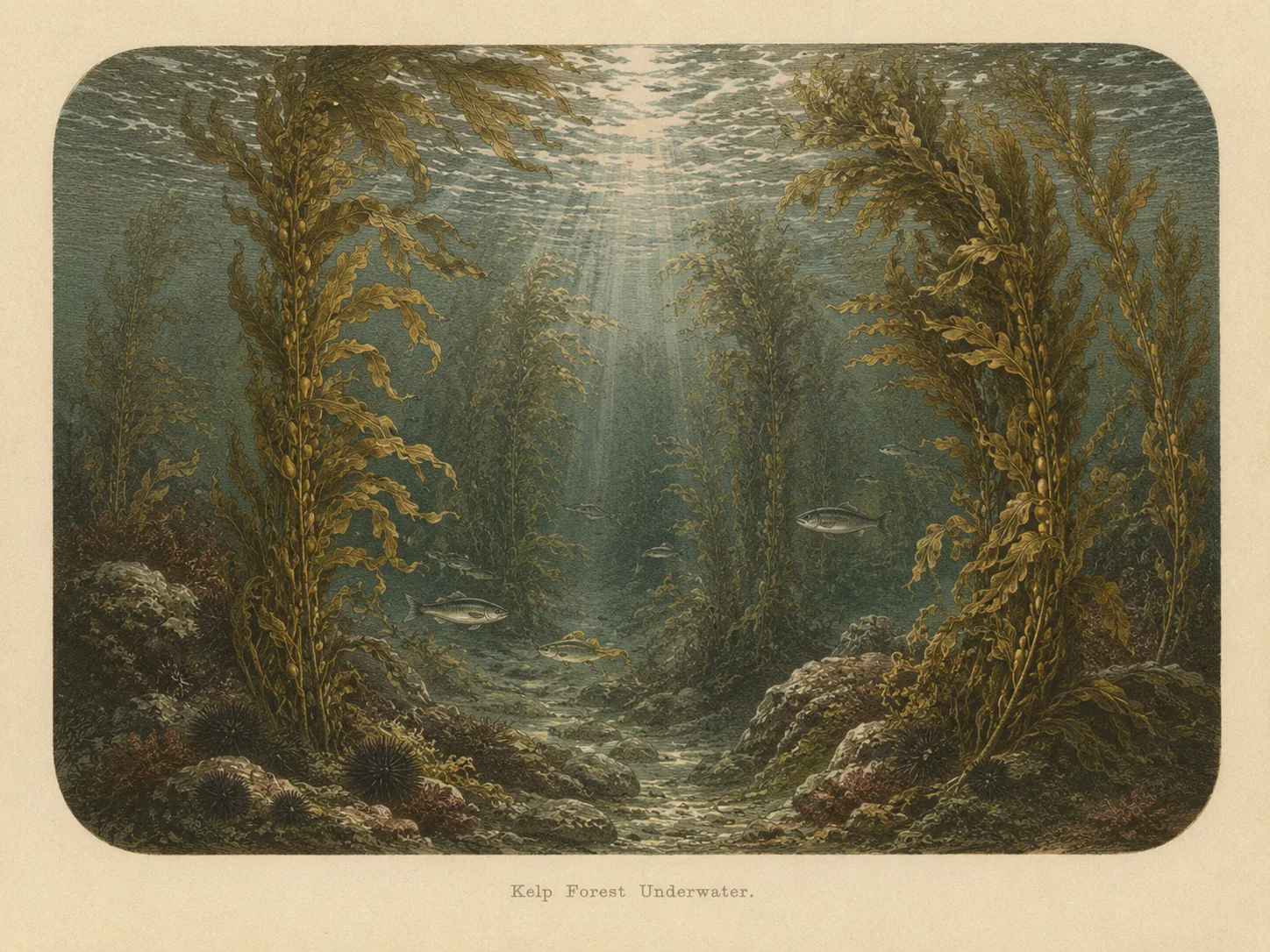
Kelp Forest
The kelp forest biome is giant kelp anchored to rocky bottom and growing up through the water column. The canopy and stipes form a three-dimensional habitat that shelters fish, invertebrates, and the predators that hunt them. Learn more about this biome and the species found in it by clicking the link below.
Learn more in the Biome Glossary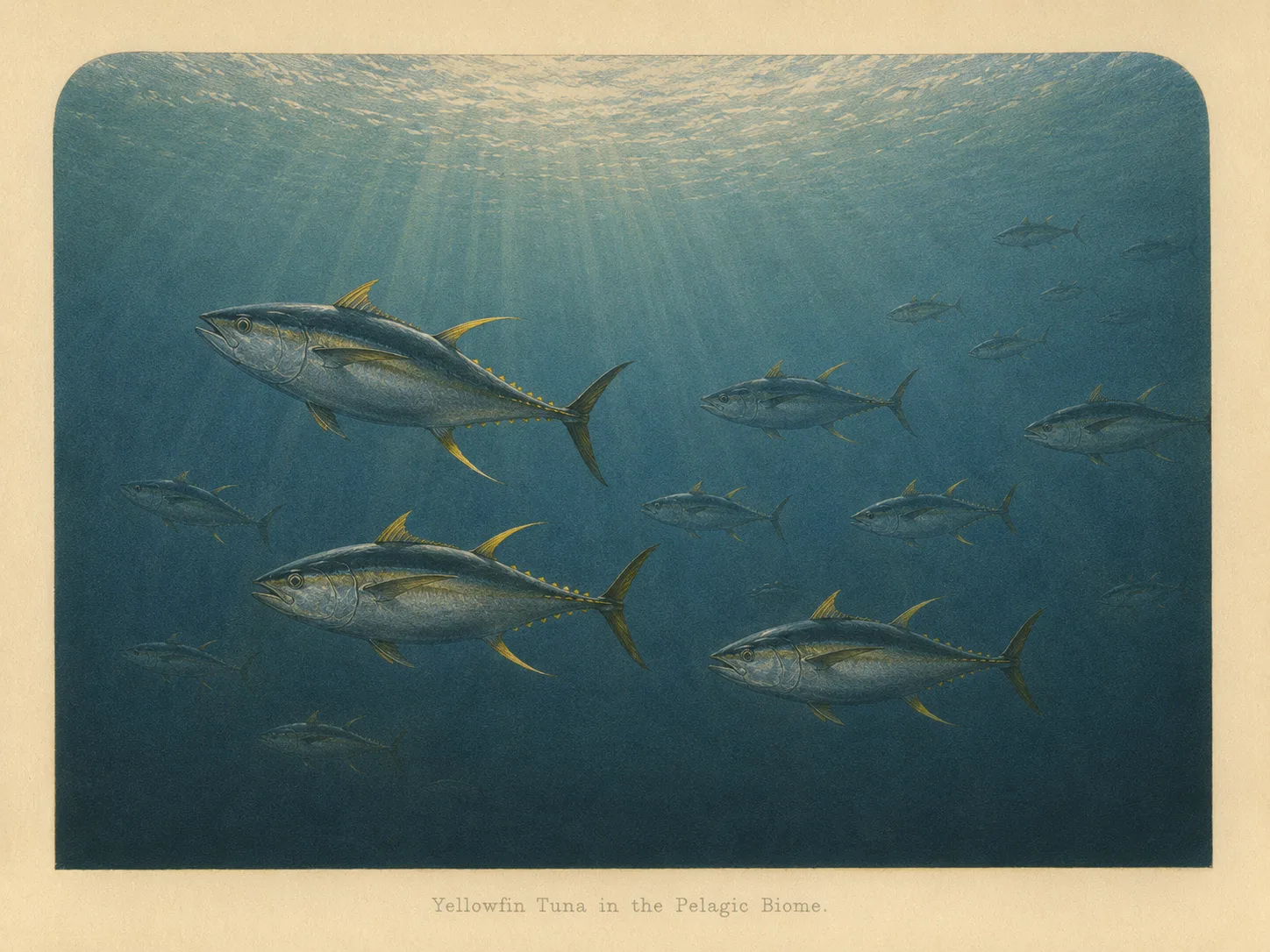
Pelagic
The pelagic biome is open water away from the bottom and from structure. It is the realm of fast, schooling fish and the large predators that follow them in from deeper water. Learn more about this biome and the species found in it by clicking the link below.
Learn more in the Biome GlossaryTarget Fish Species
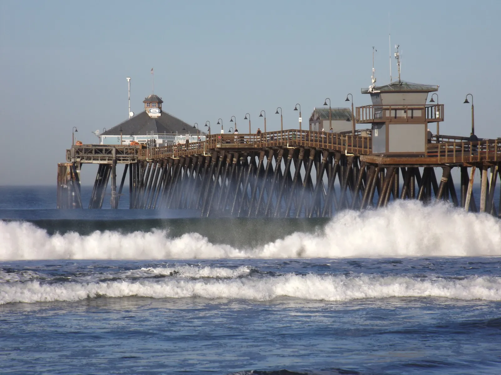
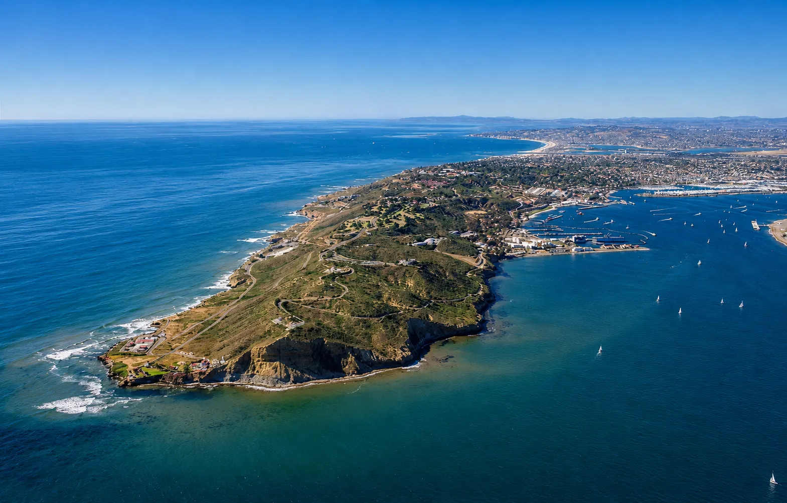
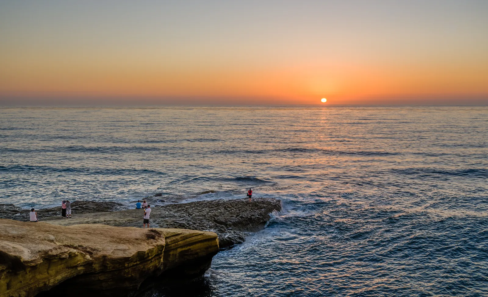
Nearby beaches
 Surf Zone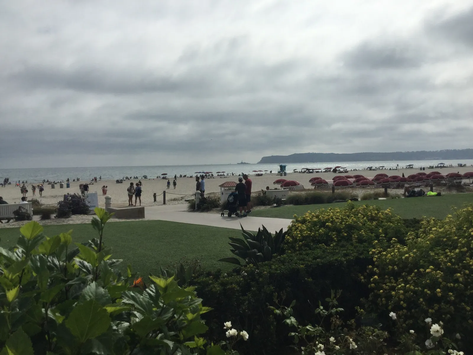
 Ocean Oracle Pro
Gain the Power
of the Oracle.
Ocean Oracle sees the future. Get 7-day visibility forecasts for every beach, plus alerts the night before clarity peaks — so you never miss a prime day.
Free shows you what the ocean looks like today. Ocean Oracle shows you the week ahead and the fish waiting for you down there.
Visibility predictions for the entire week ahead at any beach. Plan dives, schedule charters, book trips — without guessing.
The night before any beach hits prime conditions, Ocean Oracle pings your phone. Wake up knowing exactly where to go.
Track your favorite beaches in one place. Forecasts and alerts for everywhere you dive.
For every beach: what species are there, when they show up, and how to target them. Built by spearos, for spearos.
See the future. Dive on the right days.