
Point Loma
Offshore boat dive · San Diego County · California
Did you dive today?Please share the visibility to make our algorithm more accurate.
Report visibilityToday's forecast
Updated 6:06 AM PT today · July 28, 2026Visibility averages 30 feet and tracks plankton blooms from coldwater upwelling. The right current direction can flush bay water out and clean visibility within hours. Currents pick up near the southern tip; northern sites are calmer.
7-Day Forecast
Map · charter ports
32.705° N · 117.268° W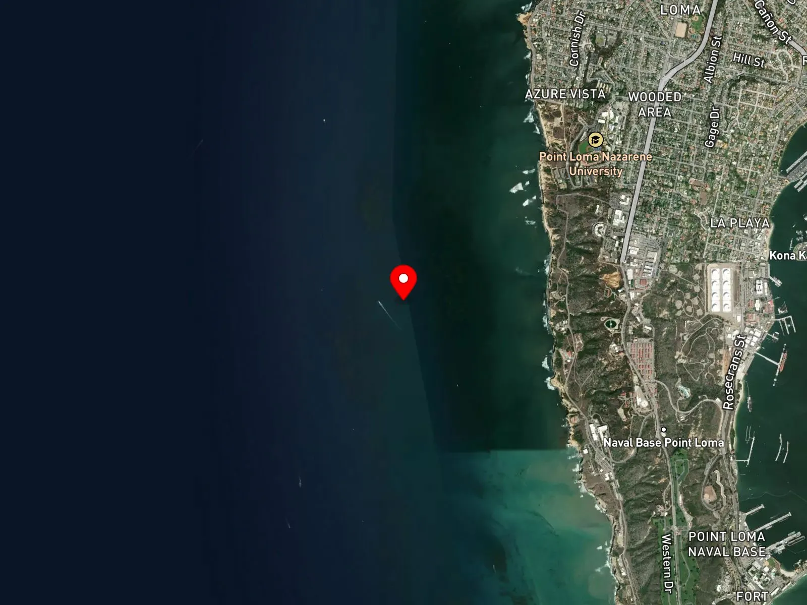
Point Loma peninsula
About Point Loma
Point Loma is the offshore kelp forest west of the Point Loma peninsula in San Diego. The kelp runs roughly six miles north to south, parallel to the cliff coast, beginning about 600 yards offshore and covering a band of rocky reef substrate that stretches from Sunset Cliffs Natural Park in the north down toward the Cabrillo lighthouse at the southern tip. Access is by boat only. Charters depart from Quivira Marina in Mission Bay, where Waterhorse Charters bases the Lois Ann and the Humboldt, and from Shelter Island on the San Diego Bay side. Cabrillo State Marine Reserve covers only the southernmost waters near the lighthouse, so the central and northern kelp where most charters anchor sits outside any marine protected area.
The kelp chain breaks into named sub-sites along its length. New Hope Rock is the shallowest at 20 to 35 feet, a single boulder rising near the surface. Goal Posts works scattered rocky structure at 45 to 50 feet. Green Tank, named for a green water tank visible on the hillside above, sits at 15 to 55 feet. Sewage Pipe, south of Green Tank and closer to the lighthouse, runs 15 to 50 feet over complex ledges and boulder piles. Deeper still, the Sea Cliffs, Three-Fingers Reef, and 7 Fathoms work the 65 to 100 foot range below the kelp canopy.
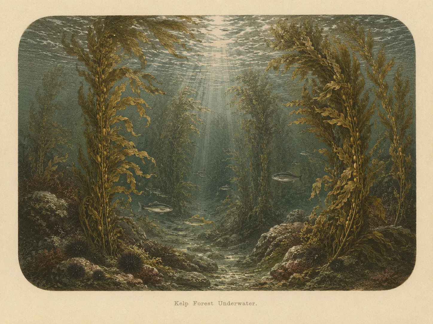
The kelp anchors to the rocky bottom and grows up through the water column to the surface, making the heart of the site a kelp forest biome. Between the kelp patches and along the deeper edges of the chain, bare rock structure stands without a canopy on top of it, a rocky reef biome distinct from the kelp. Above and outside the canopy, the open water column where migratory species pass north and south along the coast is a pelagic biome.
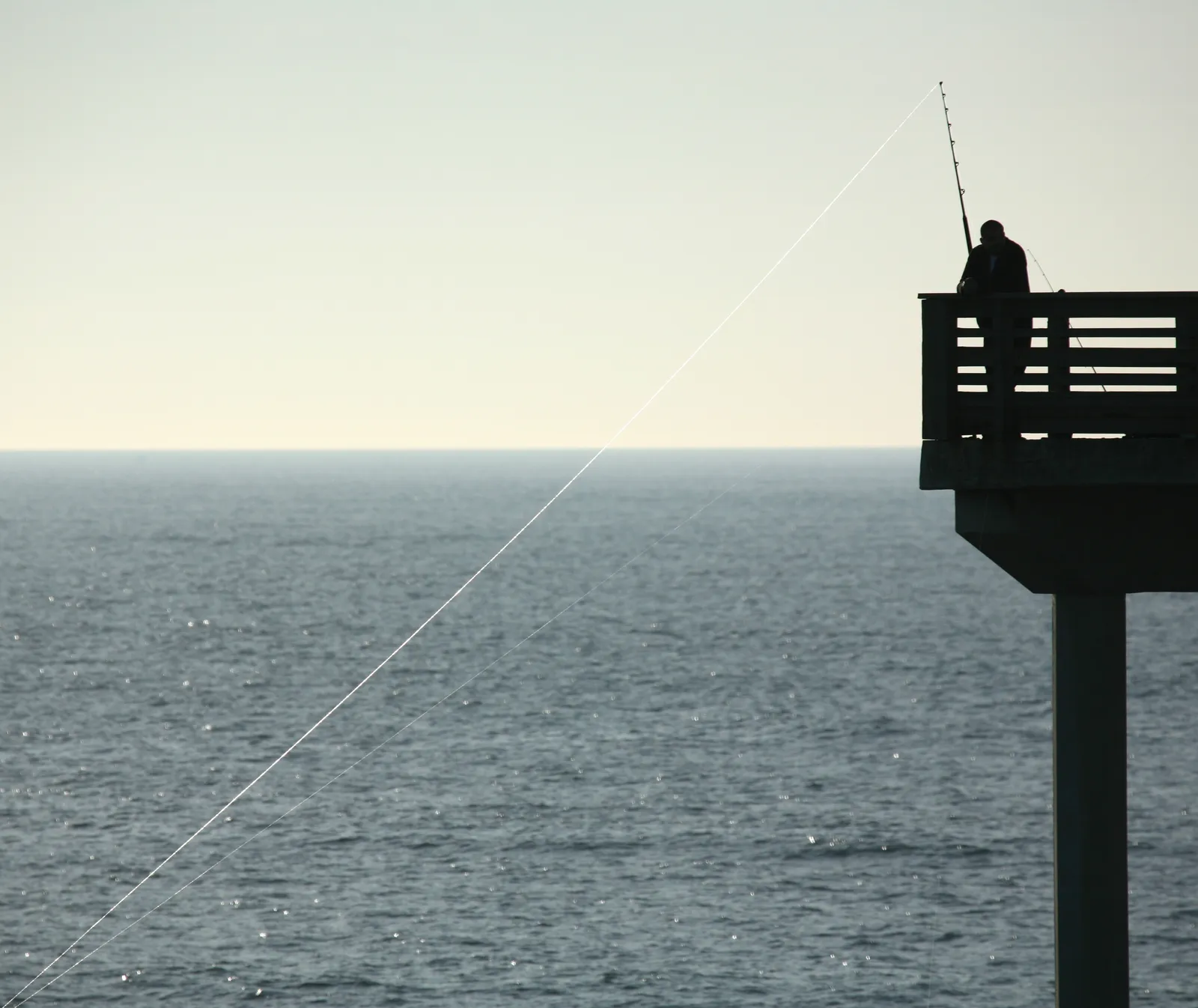
Spearfishing, scuba, and freediving carry most of the use, and Point Loma is the headline boat-access dive site of San Diego County. Hook-and-line fishing from charter and private boats is common alongside the diving. Snorkeling from a boat in the canopy happens on calm days but is uncommon as a primary activity, and surfing is absent because the site sits well offshore. Visibility averages around 30 feet and tracks plankton blooms from coldwater upwelling; the right current direction can flush bay water out and clean the water within hours. Currents pick up around the southern tip near the lighthouse, especially at 7 Fathoms and through the Sewage Pipe area, while the northern sites stay calmer.
Working depths run from about 20 feet at New Hope Rock to 100 feet at the deeper Sea Cliffs structures. The shallow kelp sites are approachable for newer divers, while the deeper Sea Cliffs sites and the southern current zones lean toward intermediate experience. Swell sensitivity is moderate because the kelp dampens the surface, though offshore exposure renders the site undivable during major winter northwest swell events. Fishing and spearfishing are legal here under standard California regulations.
Kelp Forest
The kelp forest biome is giant kelp anchored to rocky bottom and growing up through the water column. The canopy and stipes form a three-dimensional habitat that shelters fish, invertebrates, and the predators that hunt them. Learn more about this biome and the species found in it by clicking the link below.
Learn more in the Biome Glossary
Rocky Reef
The rocky reef biome is bare rock, boulder, and cobble structure without a kelp canopy above it. The hard relief and its crevices shelter invertebrates and reef fish, and the structure concentrates life that the surrounding sand cannot hold. Learn more about this biome and the species found in it by clicking the link below.
Learn more in the Biome Glossary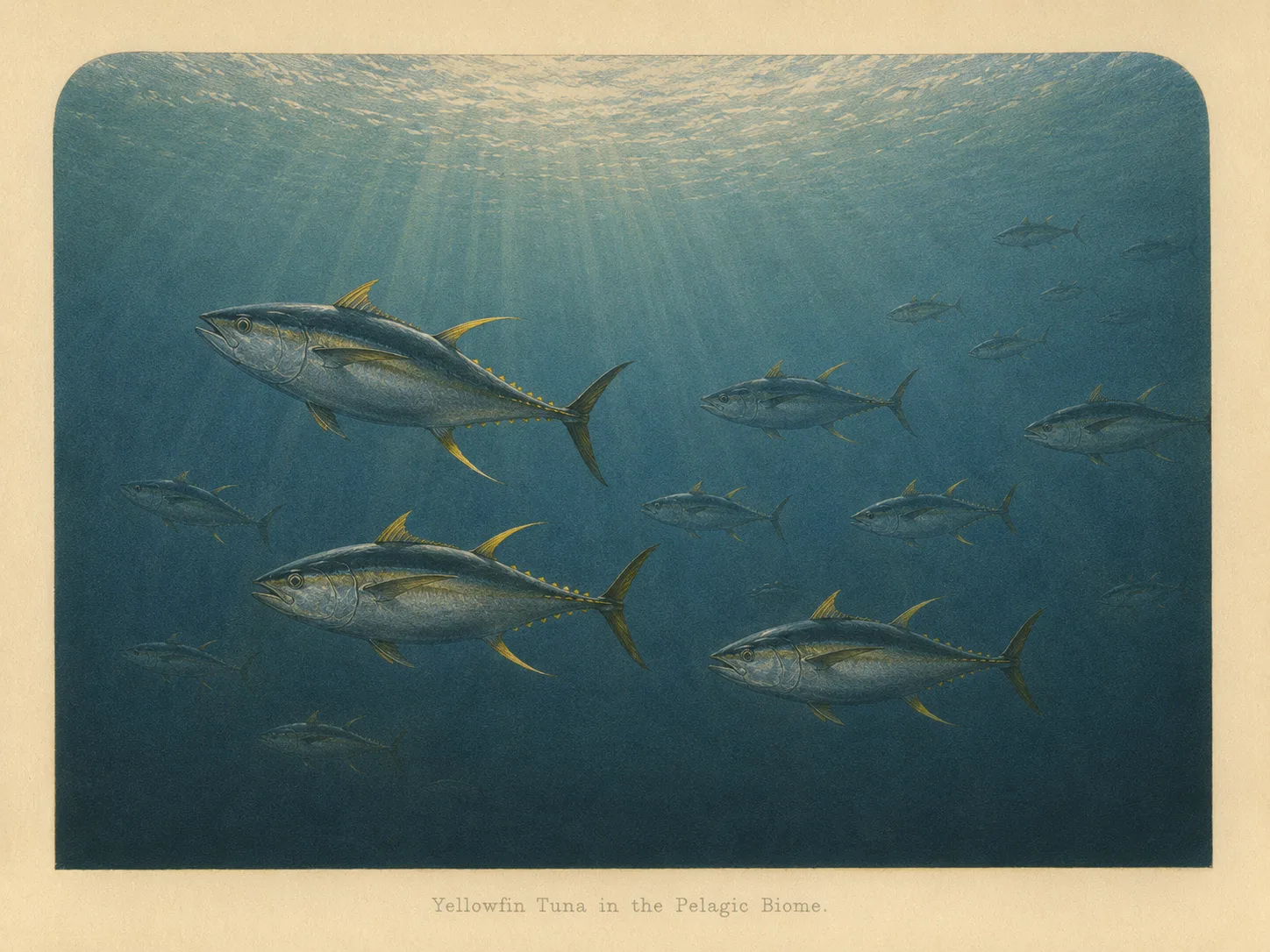
Pelagic
The pelagic biome is open water away from the bottom and from structure. It is the realm of fast, schooling fish and the large predators that follow them in from deeper water. Learn more about this biome and the species found in it by clicking the link below.
Learn more in the Biome GlossaryTarget Fish Species
Nearby beaches
 Surf Zone
Gain the Power
of the Oracle.
Ocean Oracle sees the future. Get 7-day visibility forecasts for every beach, plus alerts the night before clarity peaks — so you never miss a prime day.
Free shows you what the ocean looks like today. Ocean Oracle shows you the week ahead and the fish waiting for you down there.
Visibility predictions for the entire week ahead at any beach. Plan dives, schedule charters, book trips — without guessing.
The night before any beach hits prime conditions, Ocean Oracle pings your phone. Wake up knowing exactly where to go.
Track your favorite beaches in one place. Forecasts and alerts for everywhere you dive.
For every beach: what species are there, when they show up, and how to target them. Built by spearos, for spearos.
See the future. Dive on the right days.