
Sunset Cliffs Natural Park
Point Loma · San Diego County · California
Did you dive today?Please share the visibility to make our algorithm more accurate.
Report visibilityToday's forecast
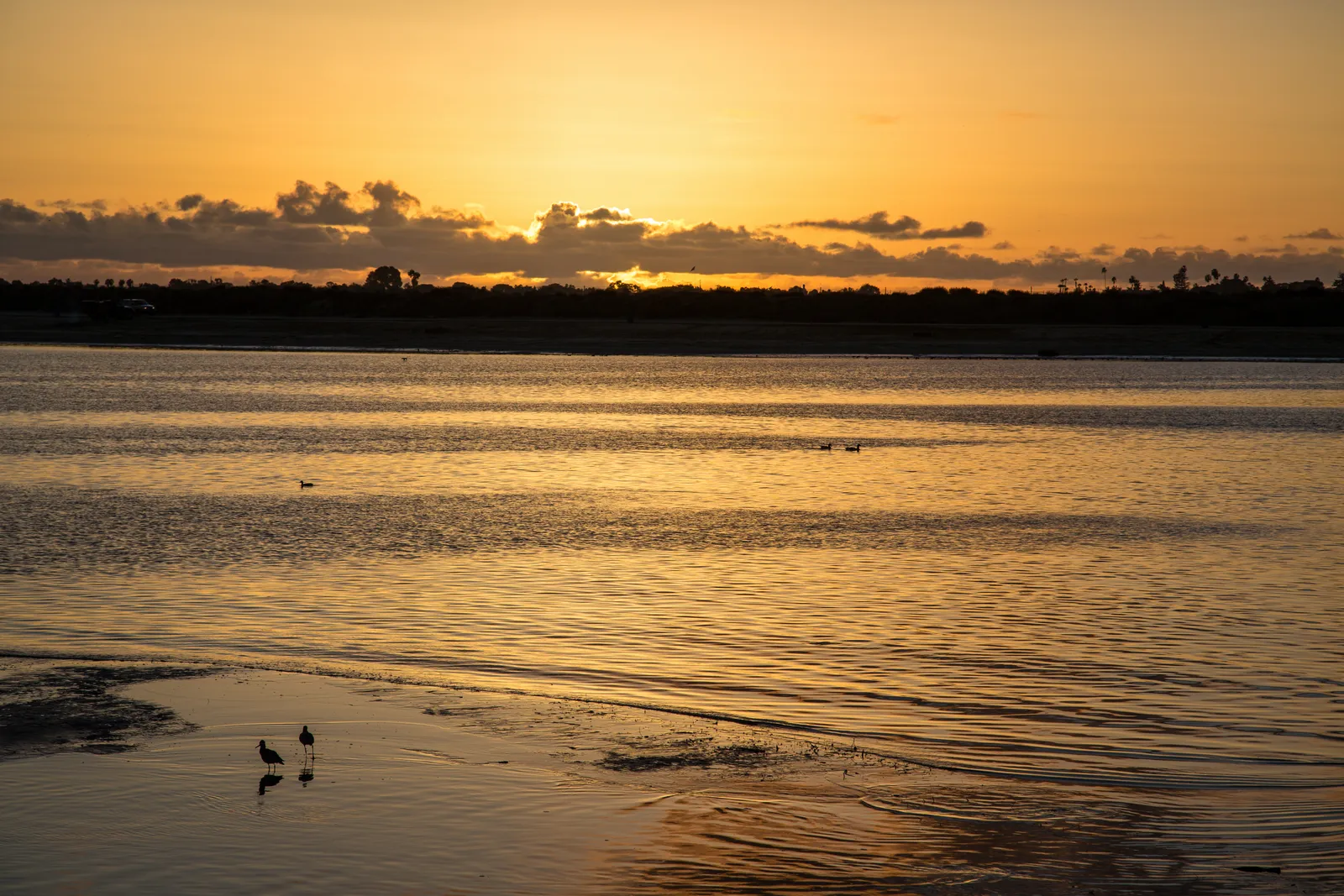
Updated 6:06 AM PT today · July 28, 2026Dawn is the clearest window — onshore wind builds through late morning and surface chop ages the inshore reef by early afternoon.
7-Day Forecast
Map · getting there
32.718° N · 117.255° W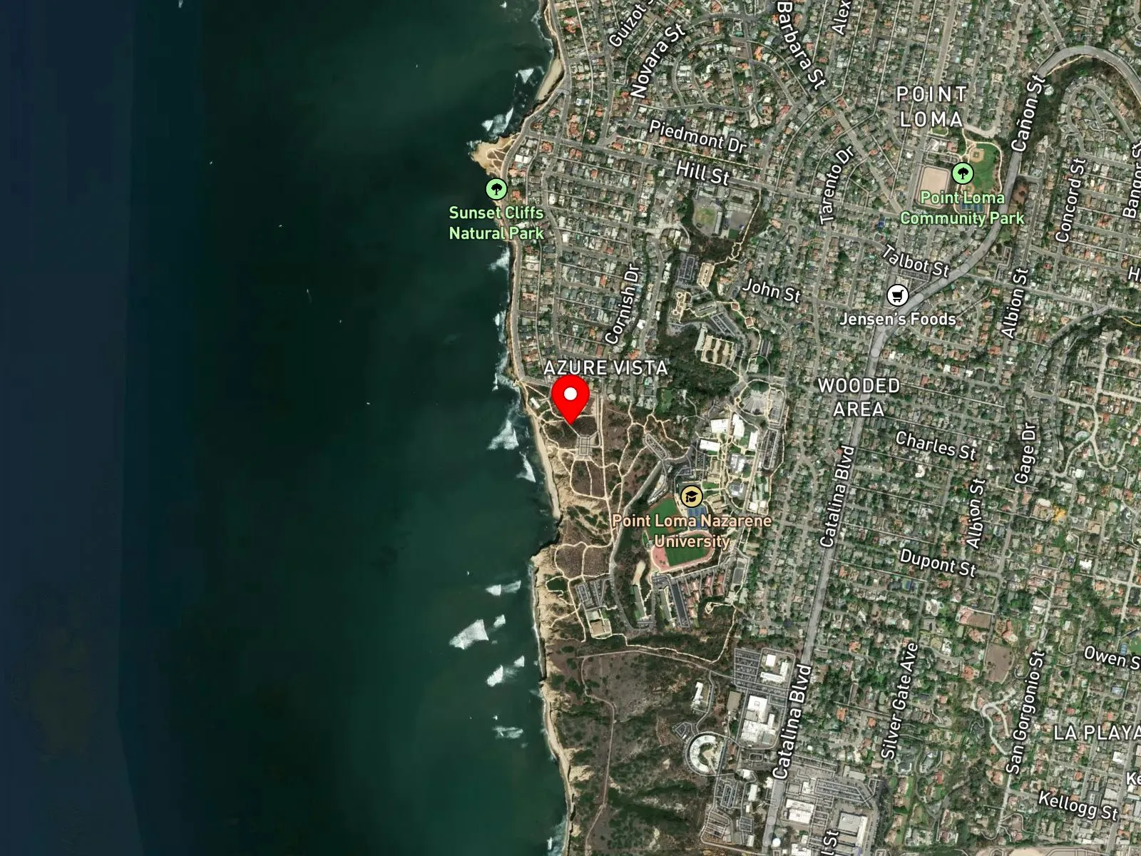
San Diego, CA 92107
About Sunset Cliffs Natural Park
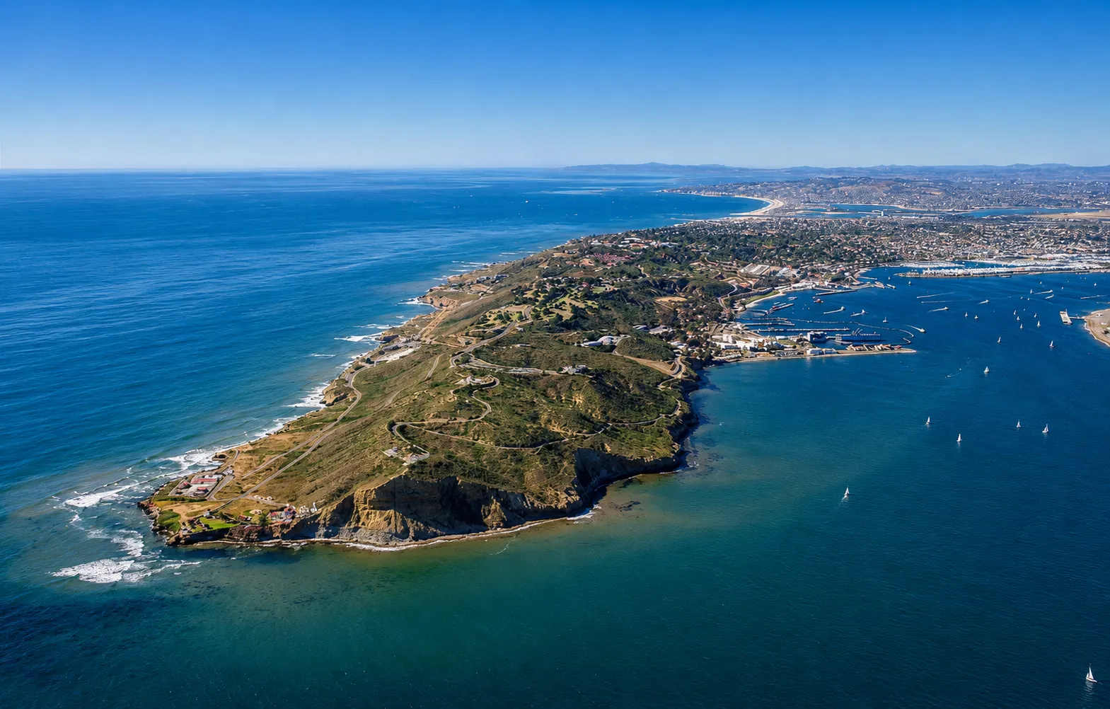
Sunset Cliffs Natural Park is a 68-acre cliff-edge park on the western flank of the Point Loma peninsula in San Diego. The park runs from Adair Street in the north south to the Naval Reservation, and the bluff face along that stretch is sandstone carved into sea caves and arches by long exposure to the open Pacific. Garbage Beach, at the foot of Ladera Street, takes its name from the heavy kelp that washes in on the sand. The one maintained access is the concrete stairway at the end of Ladera Street, and the other entries are unimproved scrambles down the sandstone. The cliffs themselves are unstable, and rescues from cliff failures are recurring.
Offshore the bottom is cobble and boulder substrate in 10 to 35 feet of water. Past the immediate cliff base, giant kelp anchors to that rocky bottom and grows up through the water column to the surface. The bare reef in the shallows is a rocky reef biome, and beyond it the kelp forms a kelp forest biome reachable by short swim from the maintained access points.
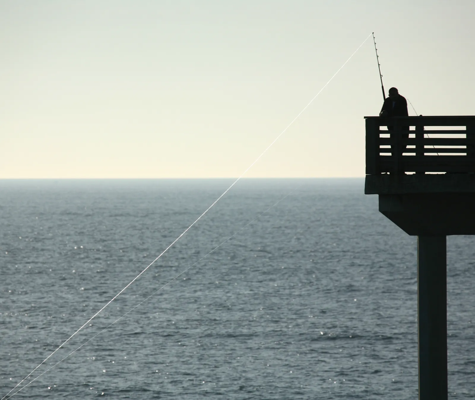
Spearfishing, surfing, and scuba are common, and the rocky structure holds the standard kelp-and-reef target species of the San Diego coast. Hook-and-line fishing from the cliff edges happens, though the height and the difficulty of retrieving a fish from the water below limit the practice. Snorkeling and freediving from Ladera Street are common on calm days. Conditions vary with season and storm history, and the kelp anchor depth and density shift after large winter swells.
Two dirt parking lots sit at the foot of Sunset Cliffs Boulevard near Ladera Street, with street parking along the boulevard itself. Spaces fill before sunset on weekends and through summer. Fishing and spearfishing are legal here under standard California regulations.

Rocky Reef
The rocky reef biome is bare rock, boulder, and cobble structure without a kelp canopy above it. The hard relief and its crevices shelter invertebrates and reef fish, and the structure concentrates life that the surrounding sand cannot hold. Learn more about this biome and the species found in it by clicking the link below.
Learn more in the Biome Glossary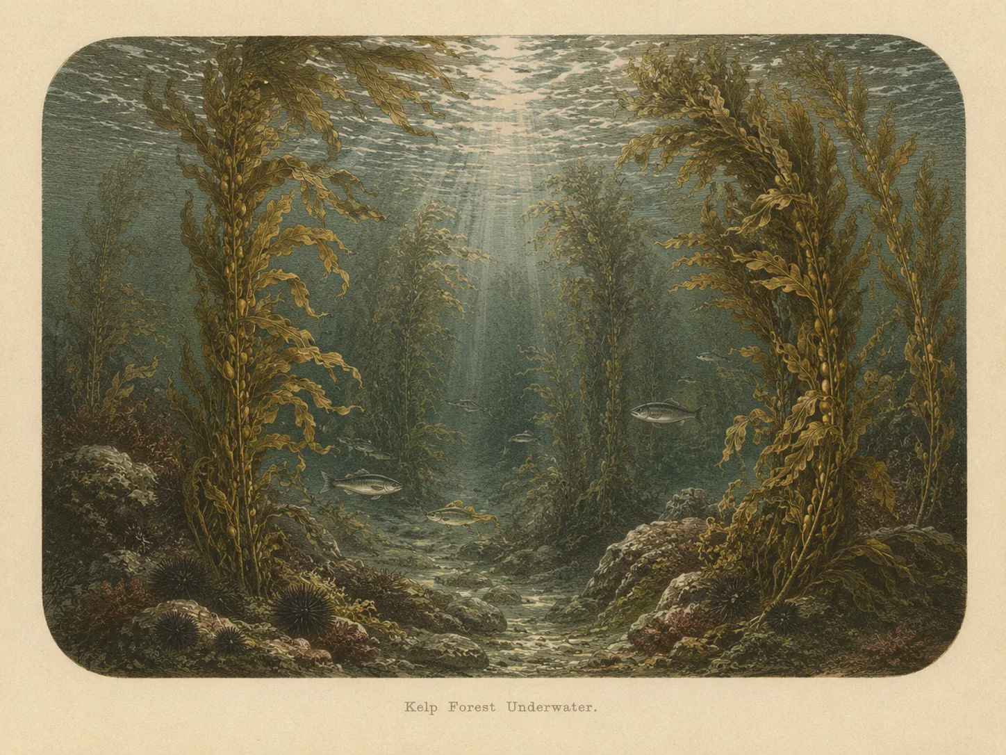
Kelp Forest
The kelp forest biome is giant kelp anchored to rocky bottom and growing up through the water column. The canopy and stipes form a three-dimensional habitat that shelters fish, invertebrates, and the predators that hunt them. Learn more about this biome and the species found in it by clicking the link below.
Learn more in the Biome GlossaryTarget Fish Species
Nearby beaches
 Surf Zone
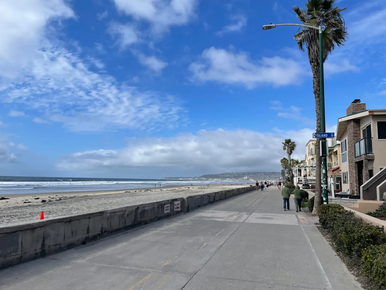
Gain the Power
of the Oracle.
Ocean Oracle sees the future. Get 7-day visibility forecasts for every beach, plus alerts the night before clarity peaks — so you never miss a prime day.
Free shows you what the ocean looks like today. Ocean Oracle shows you the week ahead and the fish waiting for you down there.
Visibility predictions for the entire week ahead at any beach. Plan dives, schedule charters, book trips — without guessing.
The night before any beach hits prime conditions, Ocean Oracle pings your phone. Wake up knowing exactly where to go.
Track your favorite beaches in one place. Forecasts and alerts for everywhere you dive.
For every beach: what species are there, when they show up, and how to target them. Built by spearos, for spearos.
See the future. Dive on the right days.