
Bee Rock
Santa Rosa Island · Channel Islands National Park · California

Did you dive today?Please share the visibility to make our algorithm more accurate.
Report visibility
Today's forecast
Updated 6:06 AM PT today · July 28, 2026The clarity holds through the day, with a light afternoon onshore the only disturbance to the entry shallows.
7-Day Forecast
Map · getting there
33.949° N · 120.213° W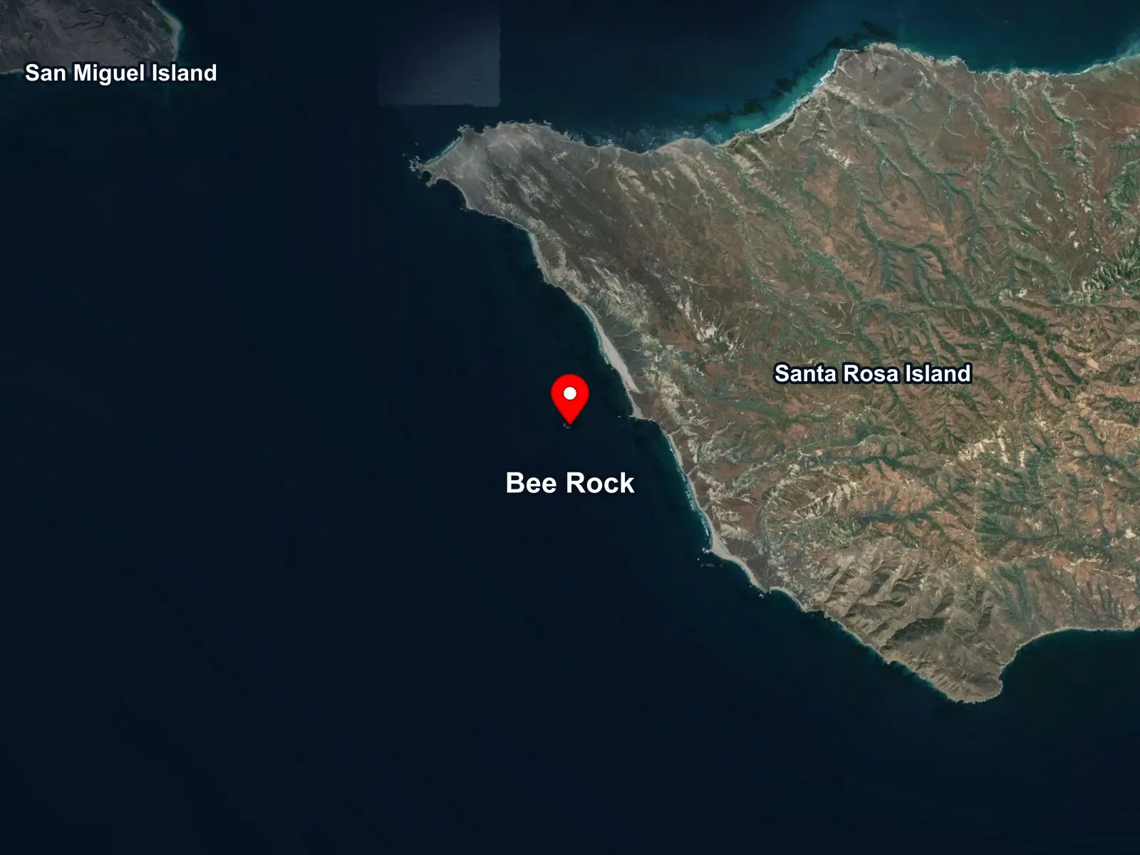
Channel Islands National Park · California
 Open in Google Maps
 Open in Apple Maps
About Bee Rock
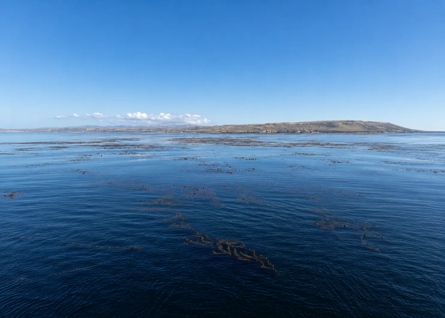
Bee Rock is a pair of low rocks just off the southwest quarter of Santa Rosa Island, the larger pinnacle about five feet above the water and the smaller about ten. The pair sit clear of the island by several hundred yards and the rock structure drops steeply on all sides, with the walls falling from the surface to sixty feet or more. The site is remote, rarely crowded, and known for its invertebrate life rather than for big fish, with dense growth on the deeper walls and ledges.
The site is at its best in late autumn and early winter, when the wind shifts to settled offshore patterns and the visibility opens to forty or fifty feet. The position on the southwest face of Santa Rosa puts Bee Rock in the lee of the northwest weather most of the year, but a southwest swell closes the site when it builds. Charter boats schedule Bee Rock as a calm-day pick, often after a morning dive at Talcott Shoal further north on the island.
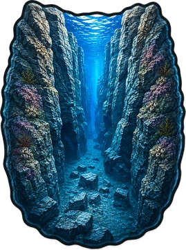
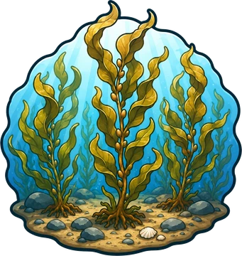
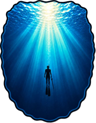
The exposed rock structure of the two pinnacles, with steep walls and the cracks, ledges, and overhangs that hold the macro life, makes Bee Rock a rocky reef biome. The canyon biome is the vertical relief from the rocks above water to the sixty-foot floor on either side, the walls dropping through the full water column. Giant kelp anchored on the shallower shoulder of the structure and growing up through the water column to the surface adds a kelp forest biome. Around the rocks, the open water makes a pelagic biome where the bottom drops away and larger pelagic species transit through.
Access is boat only. Charter dive boats run to Bee Rock from Santa Barbara and Ventura, with the crossing from Santa Barbara about three hours. The site is on the southwest face of the island and is exposed to swell from the south, southwest, and west. The dive turns surgy quickly on a building day, and the position out from the island gives no shelter from any direction once the weather comes up.
Fishing and spearfishing are legal here under standard California recreational rules. No MPA covers Bee Rock. The South Point State Marine Reserve sits east of the site, with its western boundary at 120°10.0′ W, a little over two nautical miles east of the rocks at 120°12.8′ W. The reserve covers the south point of Santa Rosa and the Johnsons Lee area further east, so divers running back toward the island should chartplot before harvesting.

Rocky Reef
The rocky reef biome is bare rock, boulder, and cobble structure without a kelp canopy above it. The hard relief and its crevices shelter invertebrates and reef fish, and the structure concentrates life that the surrounding sand cannot hold. Learn more about this biome and the species found in it by clicking the link below.
Learn more in the Biome Glossary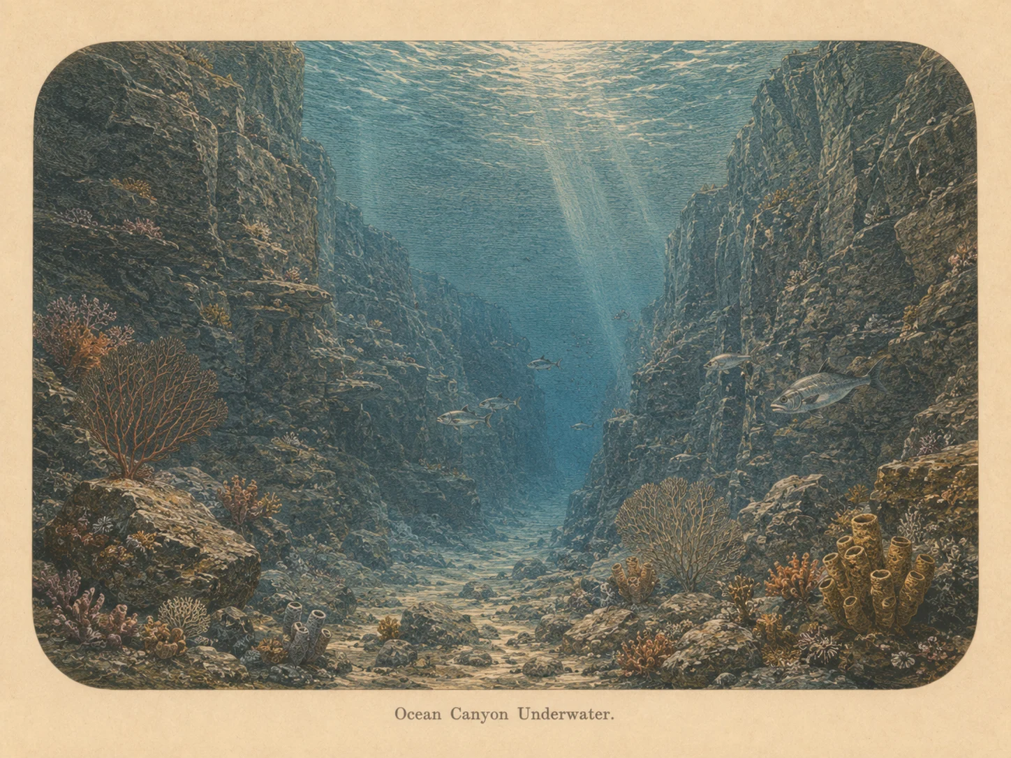
Canyon
The canyon biome is sharp vertical relief with a real depth change — walls, pinnacles, and drop-offs. The structure draws current-borne food and concentrates fish and large predators along its edges. Learn more about this biome and the species found in it by clicking the link below.
Learn more in the Biome Glossary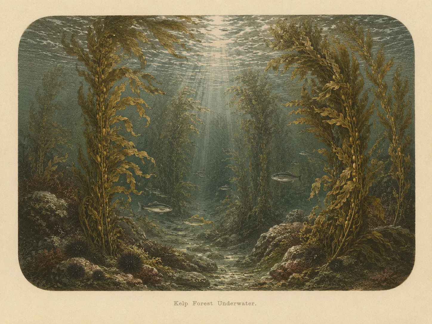
Kelp Forest
The kelp forest biome is giant kelp anchored to rocky bottom and growing up through the water column. The canopy and stipes form a three-dimensional habitat that shelters fish, invertebrates, and the predators that hunt them. Learn more about this biome and the species found in it by clicking the link below.
Learn more in the Biome Glossary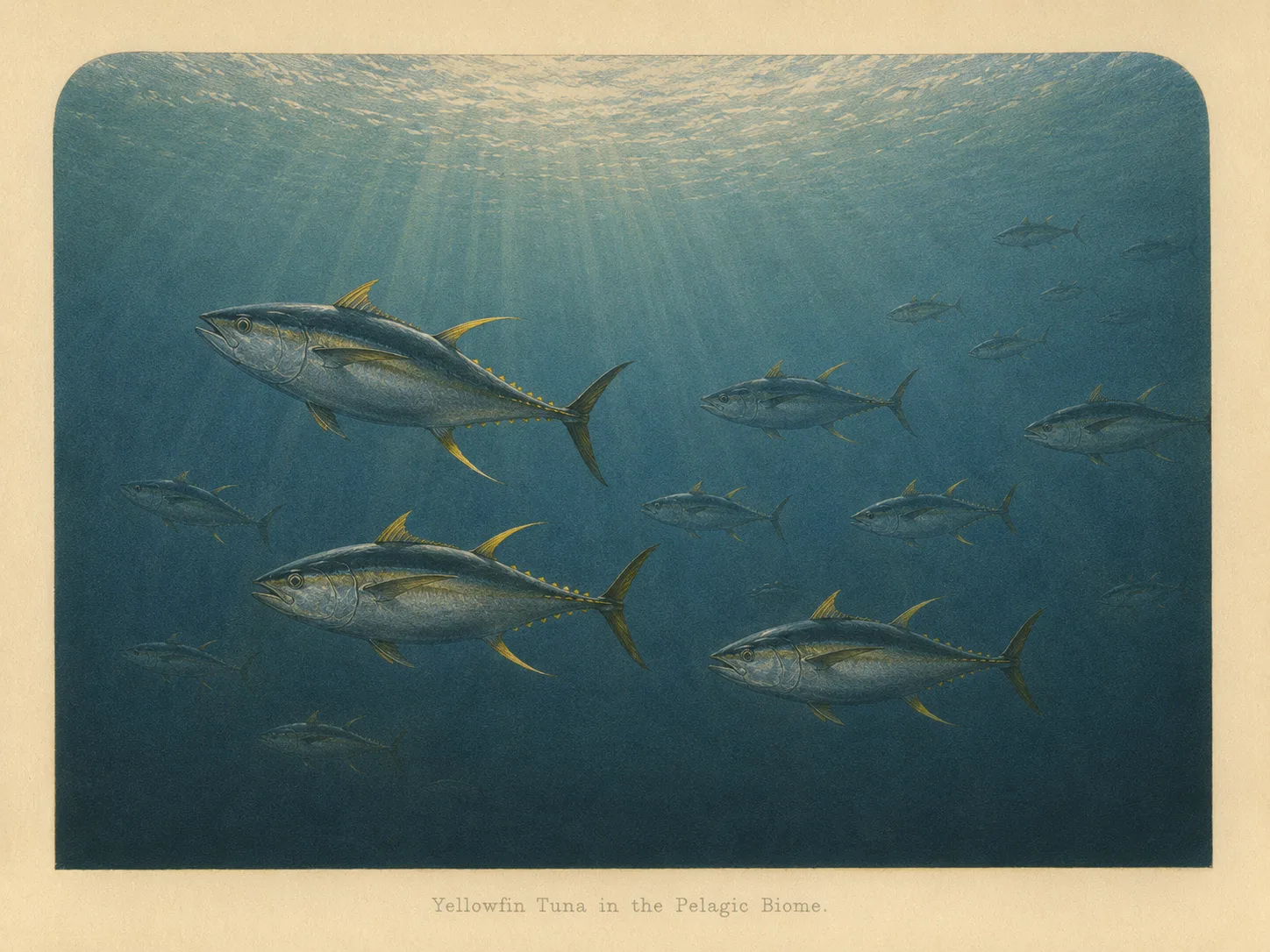
Pelagic
The pelagic biome is open water away from the bottom and from structure. It is the realm of fast, schooling fish and the large predators that follow them in from deeper water. Learn more about this biome and the species found in it by clicking the link below.
Learn more in the Biome GlossaryTarget Fish Species
Nearby beaches
 Ocean Oracle Pro
Gain the Power
of the Oracle.
Ocean Oracle sees the future. Get 7-day visibility forecasts for every beach, plus alerts the night before clarity peaks — so you never miss a prime day.
Free shows you what the ocean looks like today. Ocean Oracle shows you the week ahead and the fish waiting for you down there.
Visibility predictions for the entire week ahead at any beach. Plan dives, schedule charters, book trips — without guessing.
The night before any beach hits prime conditions, Ocean Oracle pings your phone. Wake up knowing exactly where to go.
Track your favorite beaches in one place. Forecasts and alerts for everywhere you dive.
For every beach: what species are there, when they show up, and how to target them. Built by spearos, for spearos.
See the future. Dive on the right days.