
More Mesa Beach
Santa Barbara · Santa Barbara County · California

Did you dive today?Please share the visibility to make our algorithm more accurate.
Report visibility

Today's forecast
Updated 10:00 AM PT today · July 28, 2026Dawn is the clearest window — onshore wind picks up by late morning and surface chop stirs the bottom through the afternoon.
7-Day Forecast
Map · getting there
34.408° N · 119.777° W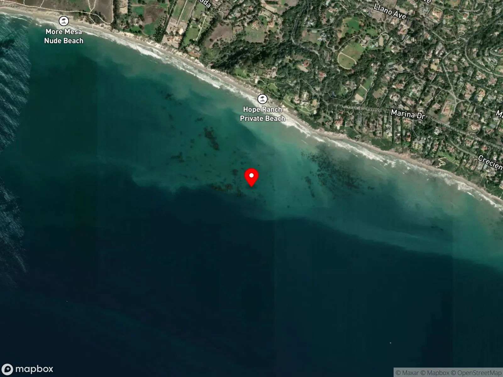
 Open in Google Maps
 Open in Apple Maps
About More Mesa Beach
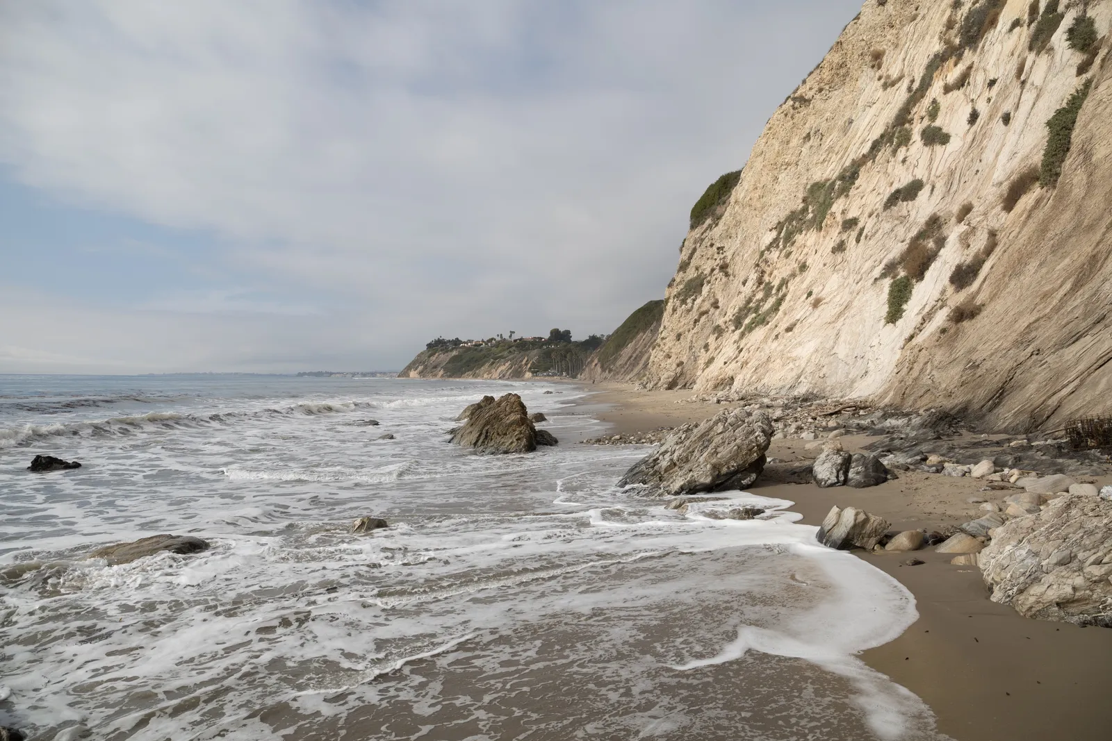
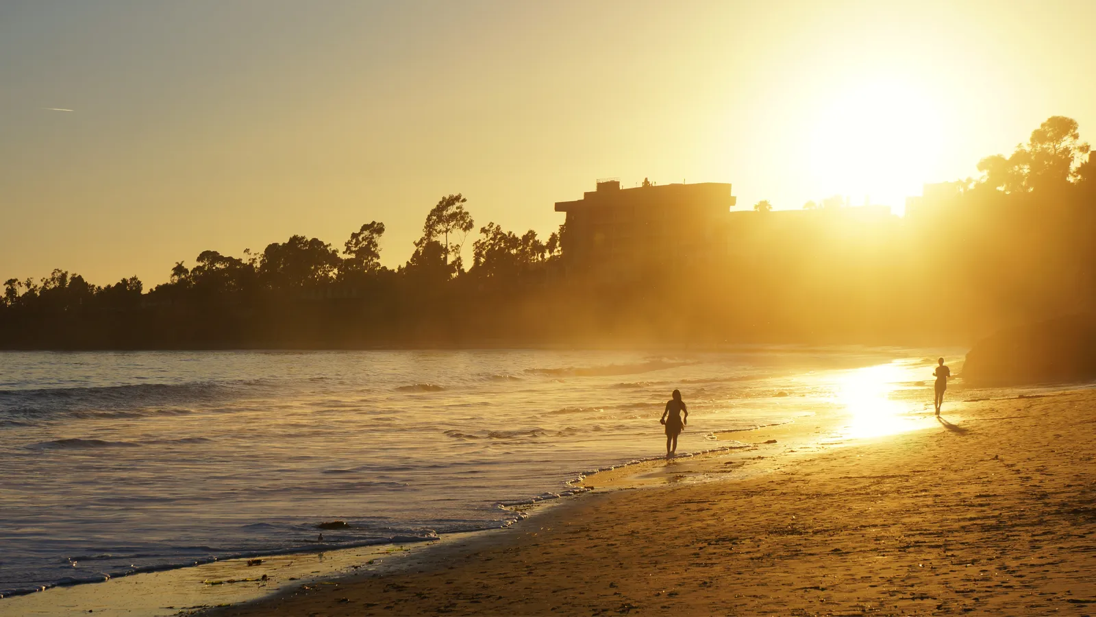
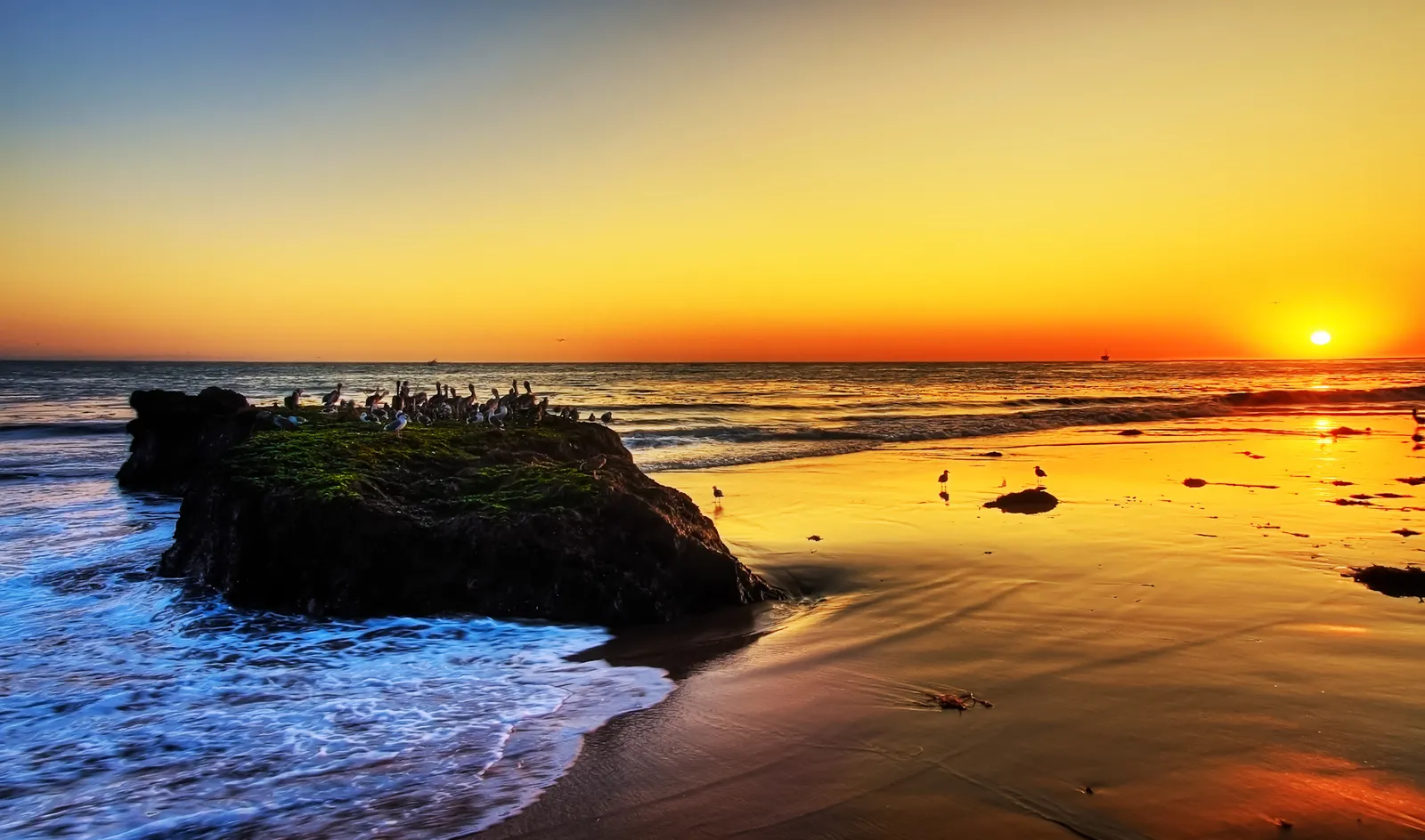
More Mesa Beach sits below More Mesa Open Space, an undeveloped 300-acre coastal bluff between the private Hope Ranch community and Goleta. The beach is one of the largest undeveloped stretches of white sand on the Santa Barbara south coast, and the lack of road access keeps it that way. There are no restrooms or facilities of any kind. The western section has long functioned as an unofficial nude beach, on the practical grounds that the remoteness makes nudity laws unenforceable.
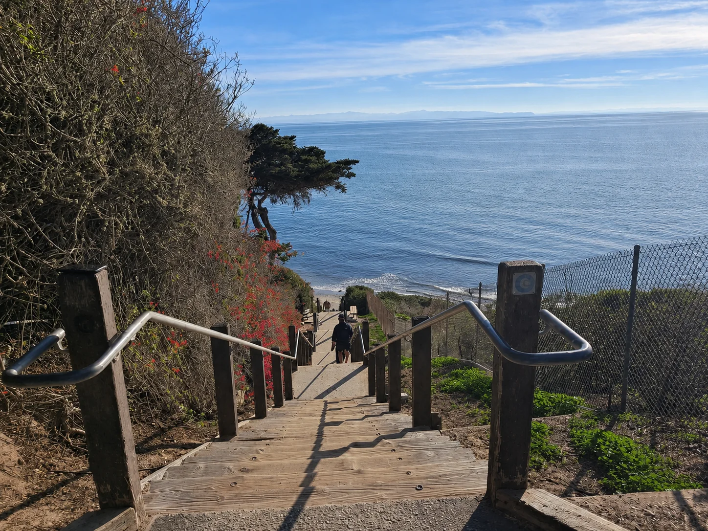
The closest legal parking is on Vieja Drive or Puente Drive, with Mockingbird Lane running about three-quarters of a mile down to the sand, including a steep stepped path down the bluff. A small free lot off South Patterson Avenue is the alternative. The descent is not wheelchair accessible.
The long, open, sandy shoreline with breaking surf and no rock or kelp structure makes this a surf zone biome. Fishing and spearfishing are legal under standard California regulations.
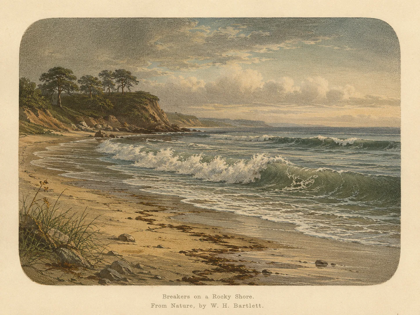
Surf Zone
The surf zone biome consists of sandy beaches and breaking waves. The action of surf disturbing the sand and kicking it up exposes marine invertebrates, buried in their shallow dens. This natural exposure of invertebrates attracts all kinds of fish, looking for an easy meal. Learn more about this biome and the species found in it by clicking the link below.
Learn more in the Biome GlossaryTarget Fish Species
Nearby beaches
 Ocean Oracle Pro
Gain the Power
of the Oracle.
Ocean Oracle sees the future. Get 7-day visibility forecasts for every beach, plus alerts the night before clarity peaks — so you never miss a prime day.
Free shows you what the ocean looks like today. Ocean Oracle shows you the week ahead and the fish waiting for you down there.
Visibility predictions for the entire week ahead at any beach. Plan dives, schedule charters, book trips — without guessing.
The night before any beach hits prime conditions, Ocean Oracle pings your phone. Wake up knowing exactly where to go.
Track your favorite beaches in one place. Forecasts and alerts for everywhere you dive.
For every beach: what species are there, when they show up, and how to target them. Built by spearos, for spearos.
See the future. Dive on the right days.