
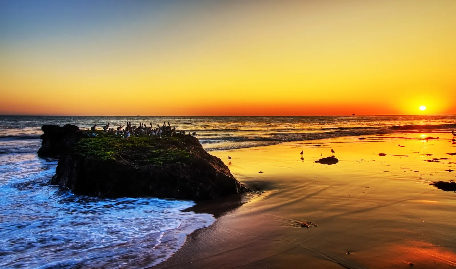
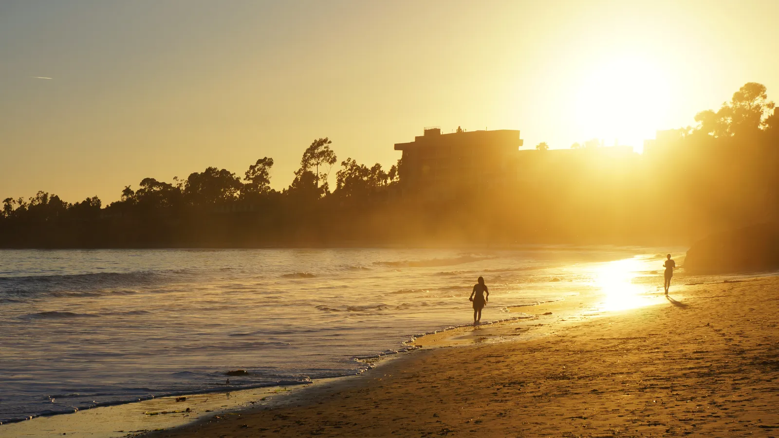
Devereux Beach
Santa Barbara · Santa Barbara County · California

Did you dive today?Please share the visibility to make our algorithm more accurate.
Report visibilityToday's forecast
Updated 10:00 AM PT today · July 28, 2026Dawn is the clearest window — onshore wind picks up by late morning and surface chop stirs the bottom through the afternoon.
7-Day Forecast
Map · getting there
34.410° N · 119.878° W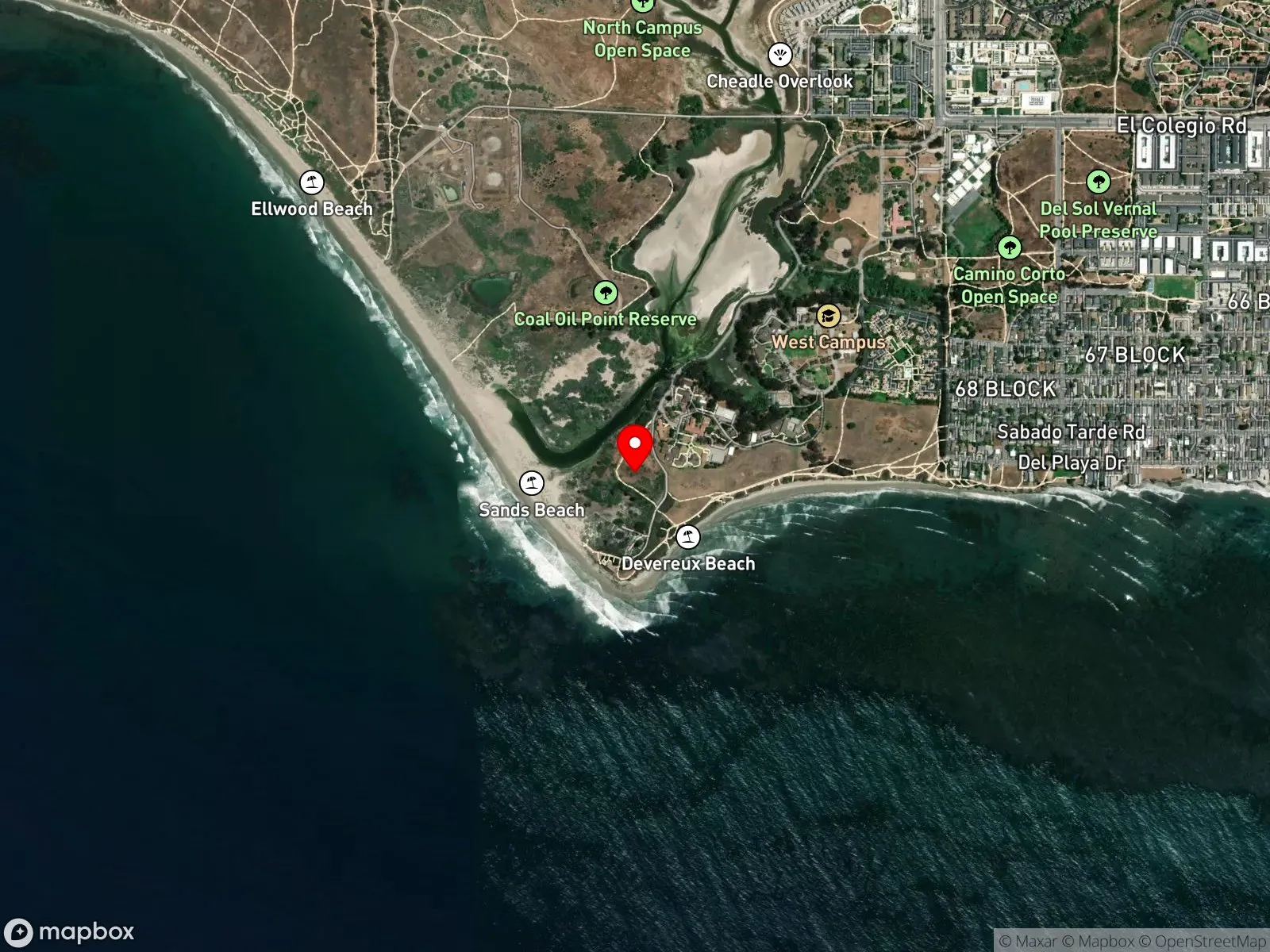
About Devereux Beach
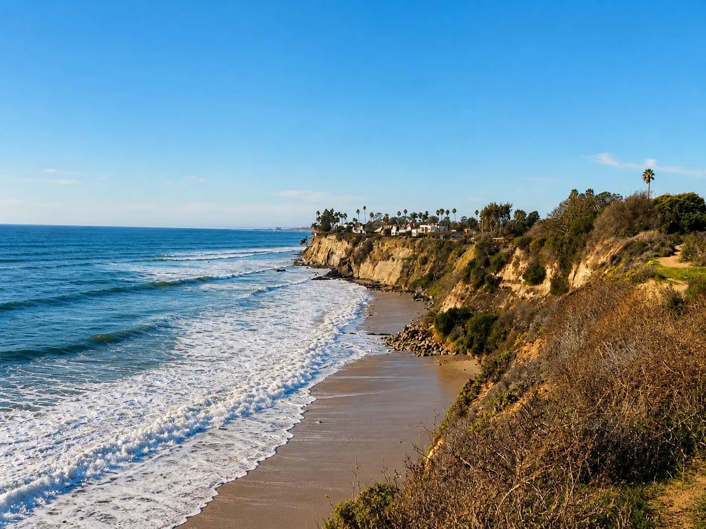
Devereux Beach sits at the western end of UC Santa Barbara's Coal Oil Point Reserve, a UC Natural Reserve that wraps the point itself, the dunes, and the lagoon behind them. The sand runs continuous with Sands Beach, and locals use the two names interchangeably depending on where they parked. The defining feature is underwater. Natural oil seeps bubble up offshore, leaving tar on the sand and a faint petroleum sheen on calm days, and that is where the "Coal Oil" in Coal Oil Point comes from. The seeps tap into the same offshore petroleum reservoirs that support onshore oil production farther up the coast. They have been active for thousands of years, predating any human industry, and the local marine community is adapted to them. The tar is a nuisance rather than a hazard: it sticks to skin and wetsuits and is hard to remove, but it is not toxic in small amounts, and the water is safe to swim in.
At low tide, the point exposes a broad reef shelf with extensive tide pools. This is primarily a snorkeling spot, and the combination of dense tide pool life and the protection of the surrounding Campus Point SMCA makes it one of the better tide pool snorkels on the south-facing Santa Barbara coast. Behind the dunes is Devereux Slough, a seasonally flooded lagoon that dries to salt flats by late summer. The slough is closed to public water access, and parts of the upper beach are roped off during snowy plover nesting season, which funnels foot traffic through a narrow corridor.
The beach itself, a wide sandy stretch with a consistent beach break, is a surf zone biome. Around Coal Oil Point, the exposed reef shelf without a kelp canopy is a rocky reef biome, reachable on foot at low tide and by a short swim otherwise.
Parking takes some planning. The paid UCSB lot off Slough Road is the main option, with limited residential street parking on Camino Corto as a backup. From either, the walk to the sand is roughly half a mile. Take is prohibited within the Campus Point SMCA, which covers all of Devereux Beach, including collection from the rocky intertidal at Coal Oil Point.

Surf Zone
The surf zone biome consists of sandy beaches and breaking waves. The action of surf disturbing the sand and kicking it up exposes marine invertebrates, buried in their shallow dens. This natural exposure of invertebrates attracts all kinds of fish, looking for an easy meal. Learn more about this biome and the species found in it by clicking the link below.
Learn more in the Biome Glossary
Rocky Reef
The rocky reef biome is bare rock, boulder, and cobble structure without a kelp canopy above it. The hard relief and its crevices shelter invertebrates and reef fish, and the structure concentrates life that the surrounding sand cannot hold. Learn more about this biome and the species found in it by clicking the link below.
Learn more in the Biome GlossarySnorkel Species Report
Nearby beaches
Gain the Power
of the Oracle.
Ocean Oracle sees the future. Get 7-day visibility forecasts for every beach, plus alerts the night before clarity peaks — so you never miss a prime day.
Free shows you what the ocean looks like today. Ocean Oracle shows you the week ahead and the fish waiting for you down there.
Visibility predictions for the entire week ahead at any beach. Plan dives, schedule charters, book trips — without guessing.
The night before any beach hits prime conditions, Ocean Oracle pings your phone. Wake up knowing exactly where to go.
Track your favorite beaches in one place. Forecasts and alerts for everywhere you dive.
For every beach: what species are there, when they show up, and how to target them. Built by spearos, for spearos.
See the future. Dive on the right days.