
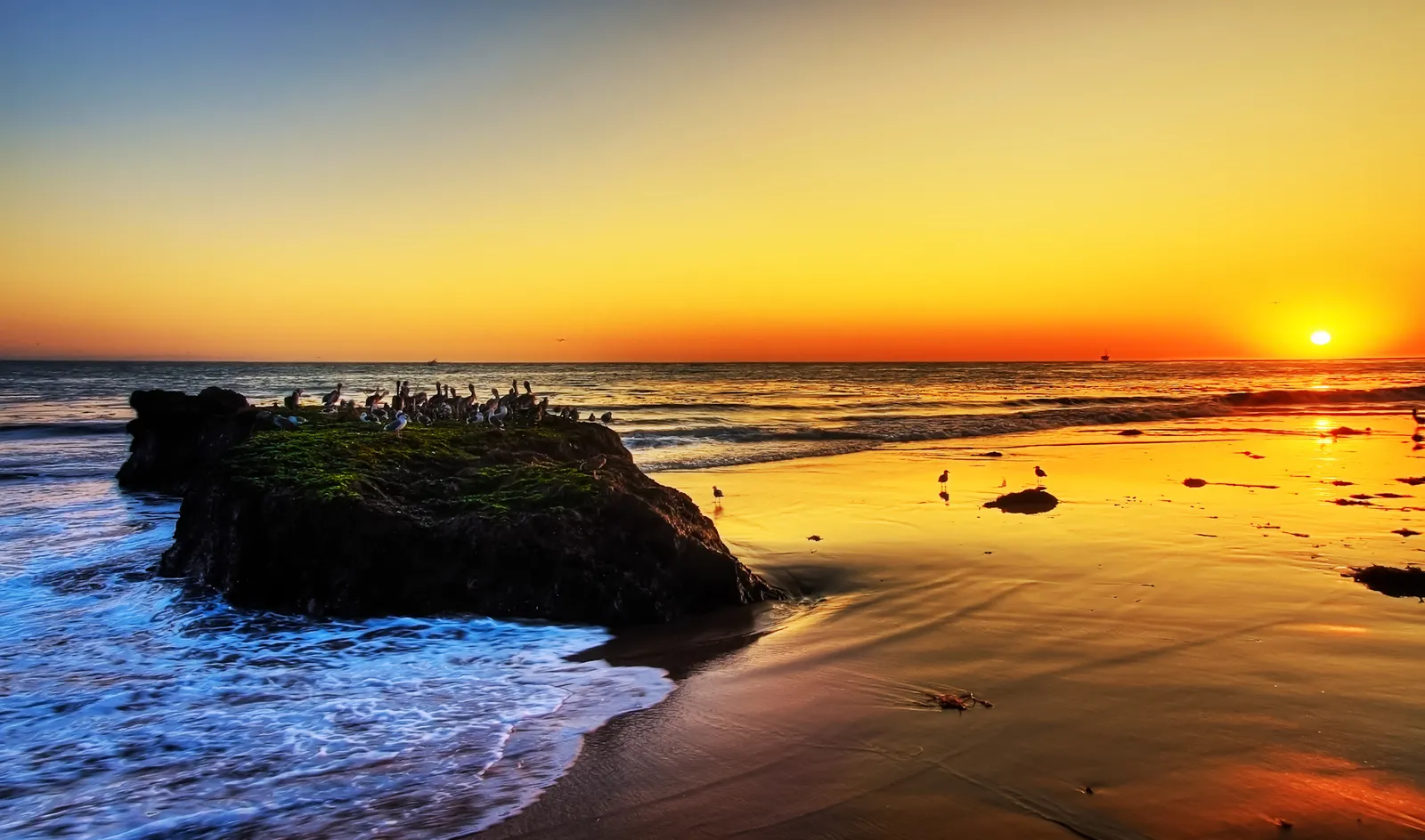
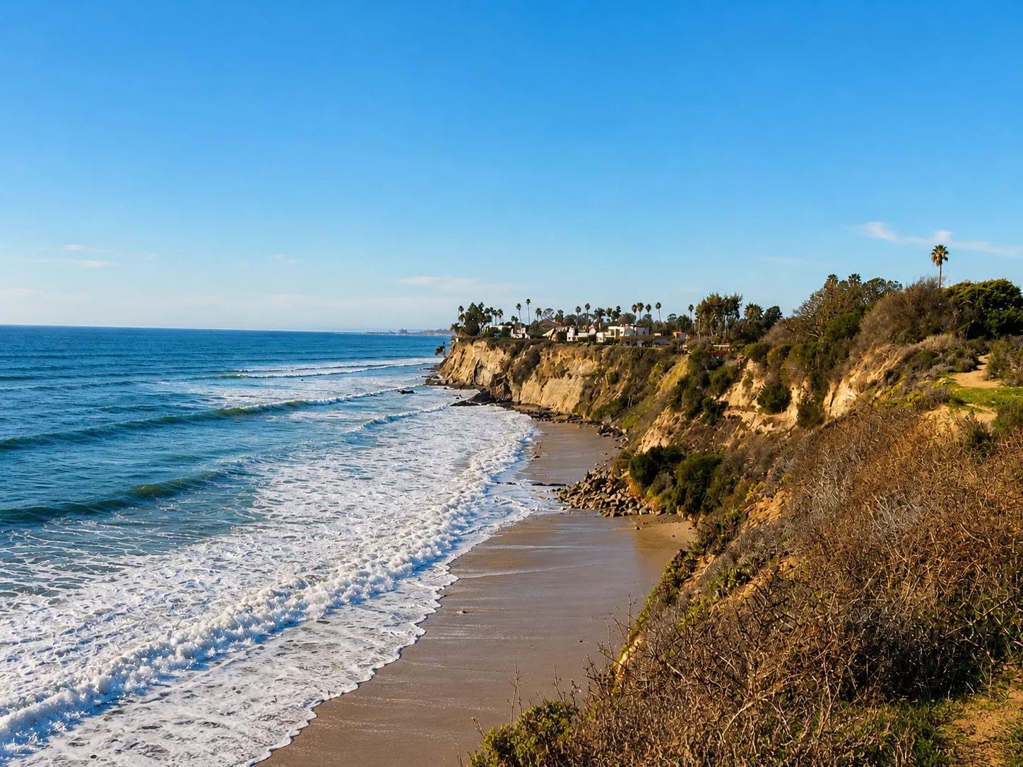
Goleta Beach
Santa Barbara · Santa Barbara County · California

Did you dive today?Please share the visibility to make our algorithm more accurate.
Report visibilityToday's forecast
Updated 10:00 AM PT today · July 28, 2026Dawn is the clearest window — onshore wind picks up by late morning and surface chop stirs the bottom through the afternoon.
7-Day Forecast
Map · getting there
34.417° N · 119.829° W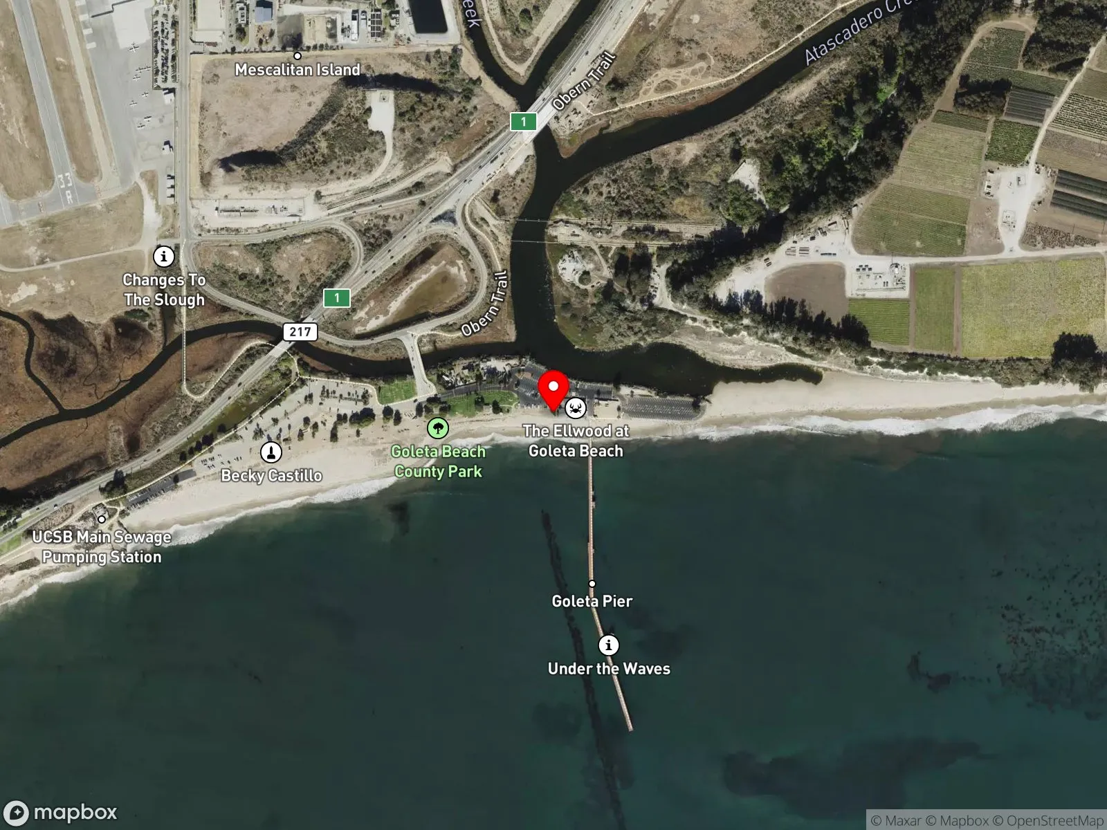
About Goleta Beach
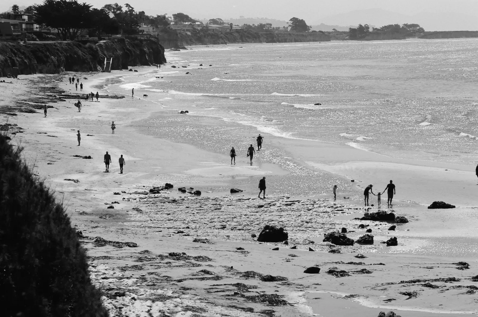
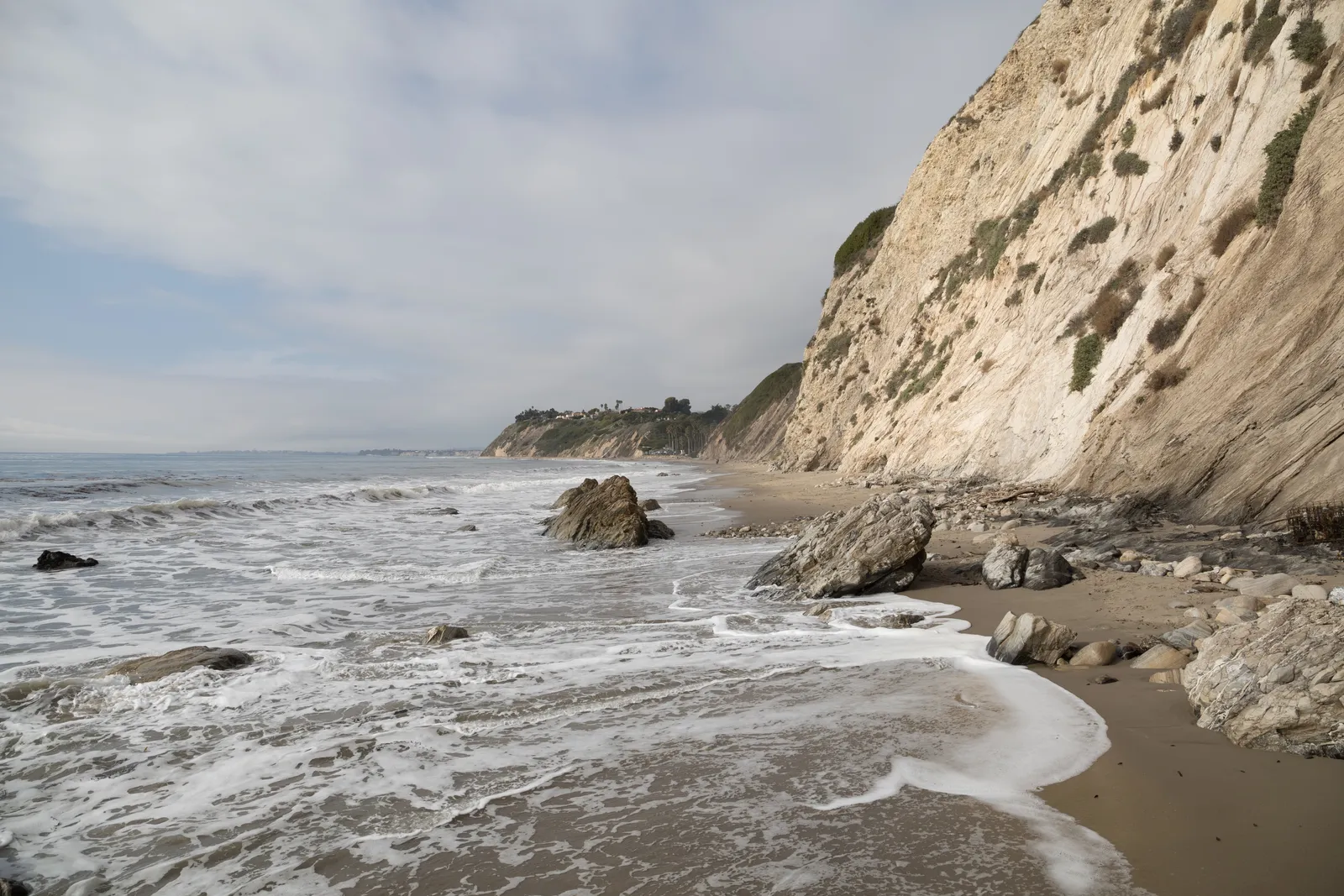
Goleta Beach is a wide, sheltered park beach just east of UCSB, with a 1,500-foot pier at its center, lawns and picnic ramadas along the back, and a slough draining behind the sandspit. The UCSB headland blocks most of the south and west swell, so the water stays unusually calm for an open-coast spot, and families, paddlers, and casual swimmers fill the beach on weekends. A popular restaurant called The Beachside Bar and Cafe sits at the foot of the pier. Water clarity is the catch. The UCSB main sewage pumping station sits next door, runoff from the slough feeds in at the back, and visibility usually runs under 10 feet even on calm days.
The pier is the main draw, and it is a popular fishing pier. California's pier exception applies, so no saltwater fishing license is required when fishing from the pier itself.
The open shoreline, a long sandy beach with sandbars and a shore break, is a surf zone biome. Behind the point and along the sandspit, the headland-sheltered water acts as a protected low-energy embayment with the slough exchanging water on the back side, which is the bay biome.
Parking is excellent. The lot at the end of Sandspit Road has more than 500 free spaces and rarely fills. Fishing and spearfishing are legal at the beach and from the pier under standard California regulations. The Goleta Slough SMCA covers the inland slough only, where take is prohibited, and the pier and open ocean sit outside that boundary.

Surf Zone
The surf zone biome consists of sandy beaches and breaking waves. The action of surf disturbing the sand and kicking it up exposes marine invertebrates, buried in their shallow dens. This natural exposure of invertebrates attracts all kinds of fish, looking for an easy meal. Learn more about this biome and the species found in it by clicking the link below.
Learn more in the Biome Glossary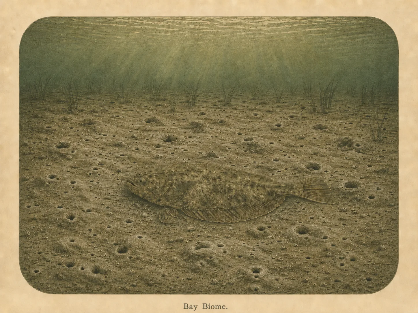
Bay
The bay biome is sheltered, low-energy water behind a jetty, headland, or harbor mouth. Reduced wave action lets fine sediment settle out and supports calm-water species and the juveniles that shelter there. Learn more about this biome and the species found in it by clicking the link below.
Learn more in the Biome GlossaryTarget Fish Species
Nearby beaches
Gain the Power
of the Oracle.
Ocean Oracle sees the future. Get 7-day visibility forecasts for every beach, plus alerts the night before clarity peaks — so you never miss a prime day.
Free shows you what the ocean looks like today. Ocean Oracle shows you the week ahead and the fish waiting for you down there.
Visibility predictions for the entire week ahead at any beach. Plan dives, schedule charters, book trips — without guessing.
The night before any beach hits prime conditions, Ocean Oracle pings your phone. Wake up knowing exactly where to go.
Track your favorite beaches in one place. Forecasts and alerts for everywhere you dive.
For every beach: what species are there, when they show up, and how to target them. Built by spearos, for spearos.
See the future. Dive on the right days.