Big storm, 8-12 foot waves, rip currents, choppy water, dangerous conditions, chances of rain and lightning. Advisory active until Wednesday, November 18.
Scripps Pier
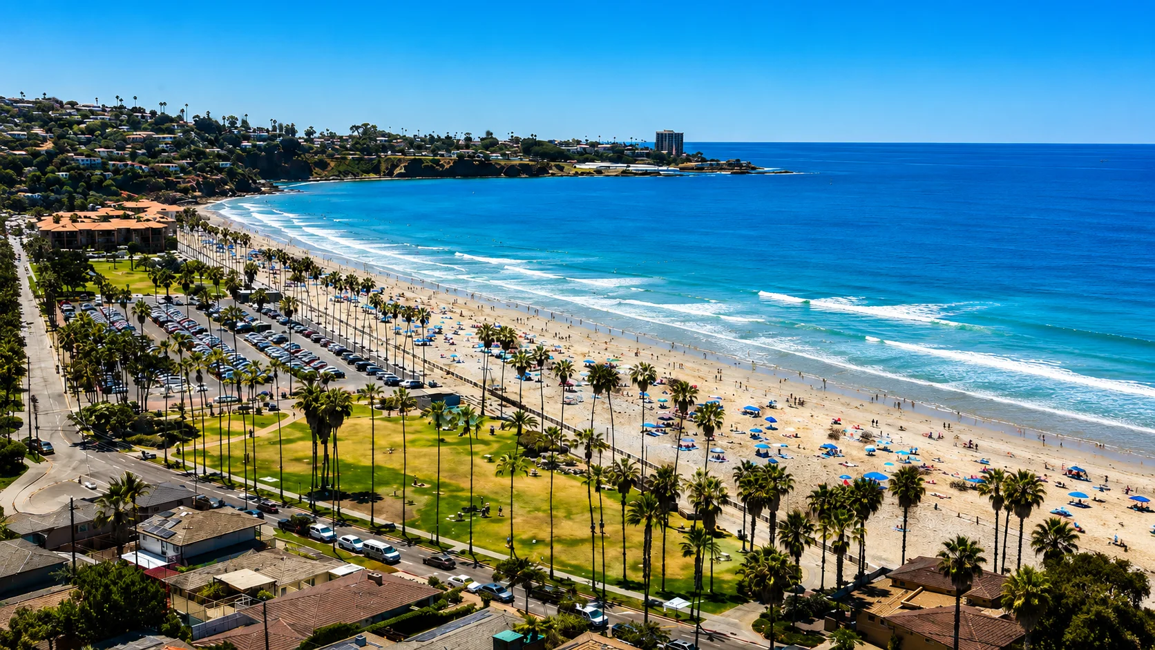
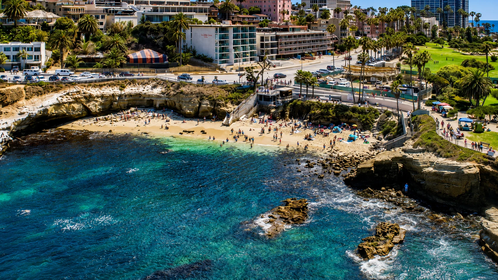
La Jolla · San Diego County · California
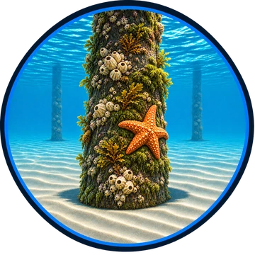
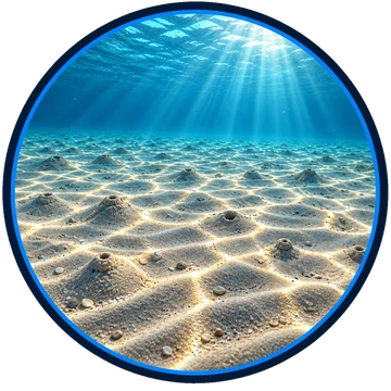
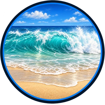
Visibility Breakdown
Visibility by position
Solid = diver report · outlined = our reading

Break Zone: The area where waves can break, from the moment you can actually see underwater until you’ve passed the furthest breaking waves.
Post Break: The area just past the furthest breaking waves.
Open Water: A certain distance from shore, where visibility is at its best, or deeper underwater.
Through the day
Today's visibility readings at this spot, shown at the hour each one was taken.
Every bar is a reading for the Post Break zone.
✓ = reading reviewed by hand
auto = reading not yet reviewed by hand
Did you dive today?Please share the visibility to make our algorithm more accurate.
Report visibility
Coastal Bulletin
About Scripps Pier


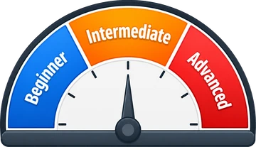

Why it reads 0–5 ft
Low confidence
7-Day Forecast
Today is the live headline above. Tomorrow onward is the algorithm's forecast from predicted swell, wind, and rain, updated each morning and at 6 PM Pacific.
Map and parking
La Jolla, CA 92037
The pier stands at the north end of La Jolla Shores. The free 350-space Kellogg Park lot at the foot of Calle Frescota is the closest public lot and fills before 9 AM on summer weekends.
 Google Maps ↗
 Apple Maps ↗
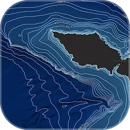 See the offshore water on Pelagiscape →Clarity, temperature breaks and kelp off this beach.

About Scripps Pier
Scripps Pier, formally the Ellen Browning Scripps Memorial Pier, is the research pier of Scripps Institution of Oceanography at UC San Diego, at the north end of La Jolla Shores. The concrete pier runs 1,084 feet out from the beach. It was completed in 1988 and replaced the original pier, completed in 1916. Seawater temperature and salinity readings have been taken at the pier since 1916, and its instruments now record wind, water temperature, ocean acidity, currents, and images of the particles in the water. A camera mounted on a piling about 13 feet down streams the view under the pier.
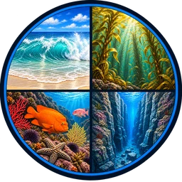
Biomes here
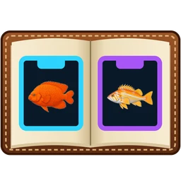
Species found here
Researched habitat and range candidates. A listed species may be seasonal or depth-limited; this is not a confirmed sighting at this location.
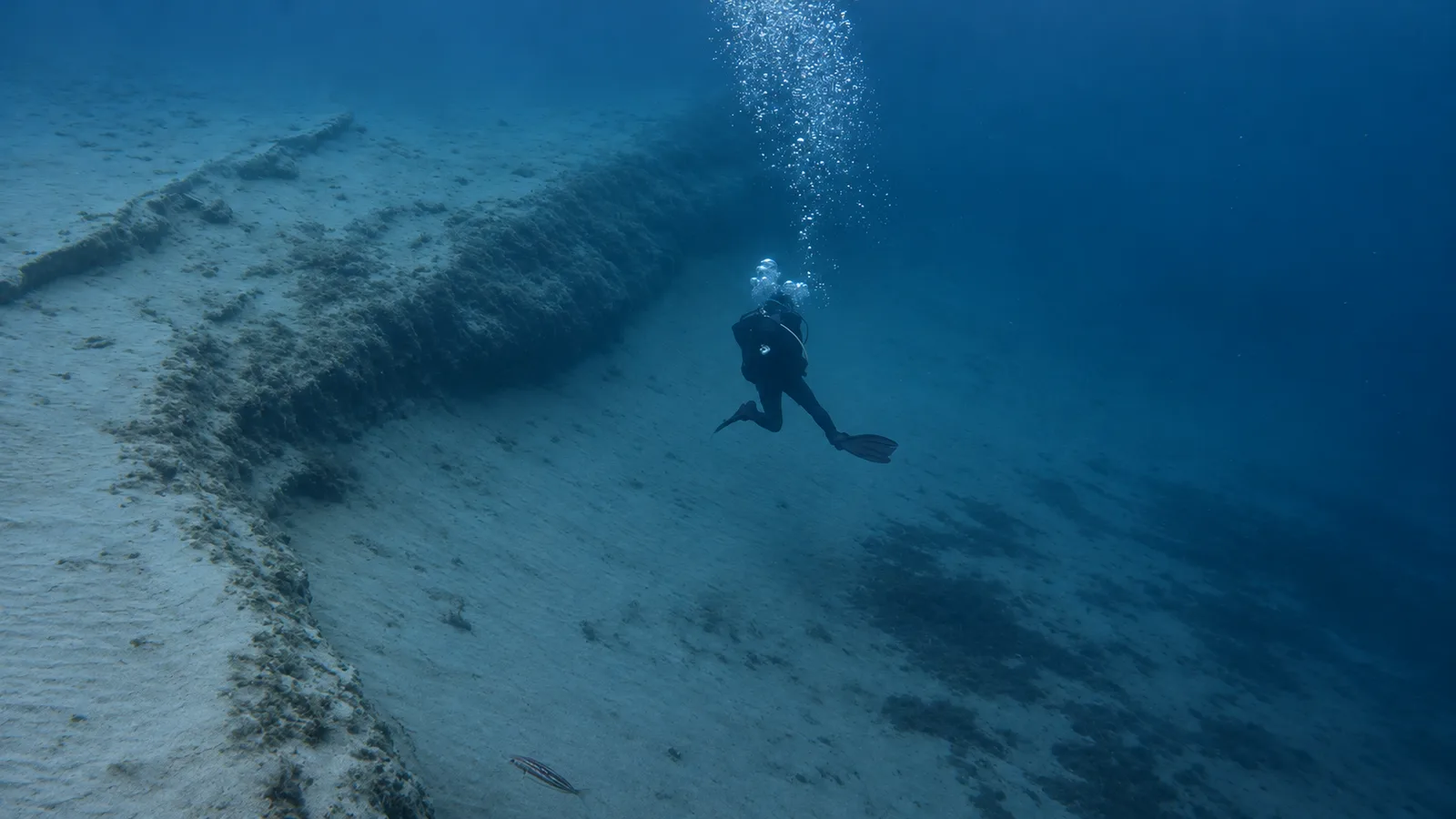
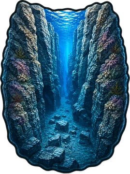 Canyon
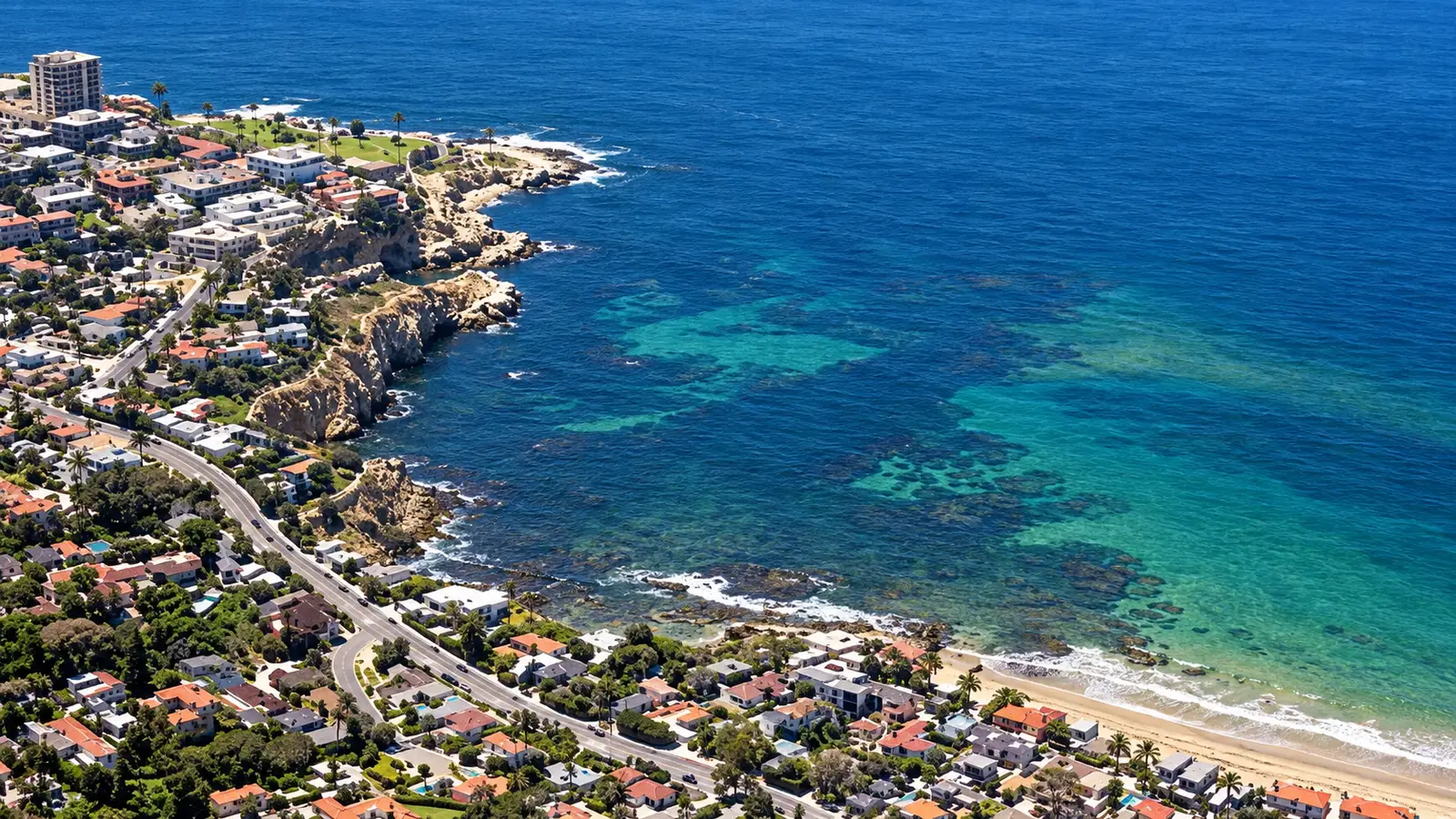
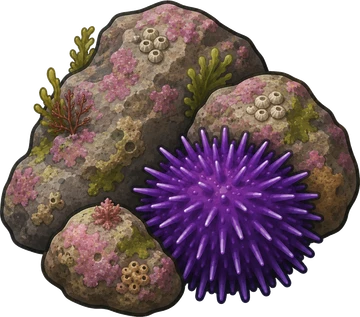 Rocky Reef
 Ocean Oracle Pro
Gain the Power
of the Oracle.
Ocean Oracle sees the future. Get 7-day visibility forecasts for every beach, alerts when a prime day is coming, and a dive log that remembers every dive.
Free shows you what the ocean looks like today. Ocean Oracle shows you the week ahead, watches your beaches for you, and remembers every dive.
One full-screen map of the water off all of California: satellite water clarity and temperature, temperature breaks, seafloor shading, depth lines, surface kelp, Marine Protected Areas, currents, wind, and swell. Save your spots as pins and get an email when a temperature break comes near them.
A personal aquarium built from your own dives. Every species you log joins your tank in pixel art, in the biome where you found it, with a song for every biome, decorations to place, and quests that earn more. It holds 197 species across 9 biomes, with separate tanks for the fish you have seen and the fish you have speared.
Visibility predictions for the entire week ahead at any beach. Plan dives, schedule charters, and book trips without guessing.
When a beach on your watchlist is running good water, or the week ahead shows a good day coming, Ocean Oracle emails you. A prime window never slips past.
Every entry freezes that day's report: visibility, tide, swell, wind. Log catches, stamp Personal Bests, level up your guns, and light up your species life list.
The Coastal Bulletin greets members with the clearest water on the coast today and their own watchlist, before a single click.
Track your favorite beaches in one place. Forecasts and alerts for everywhere you dive.
A members-only board on every beach where taking fish is legal: how other members hunt the spot, with the gear, tide, season, and target species. Post your own and earn XP.
See the future. Dive on the right days.