
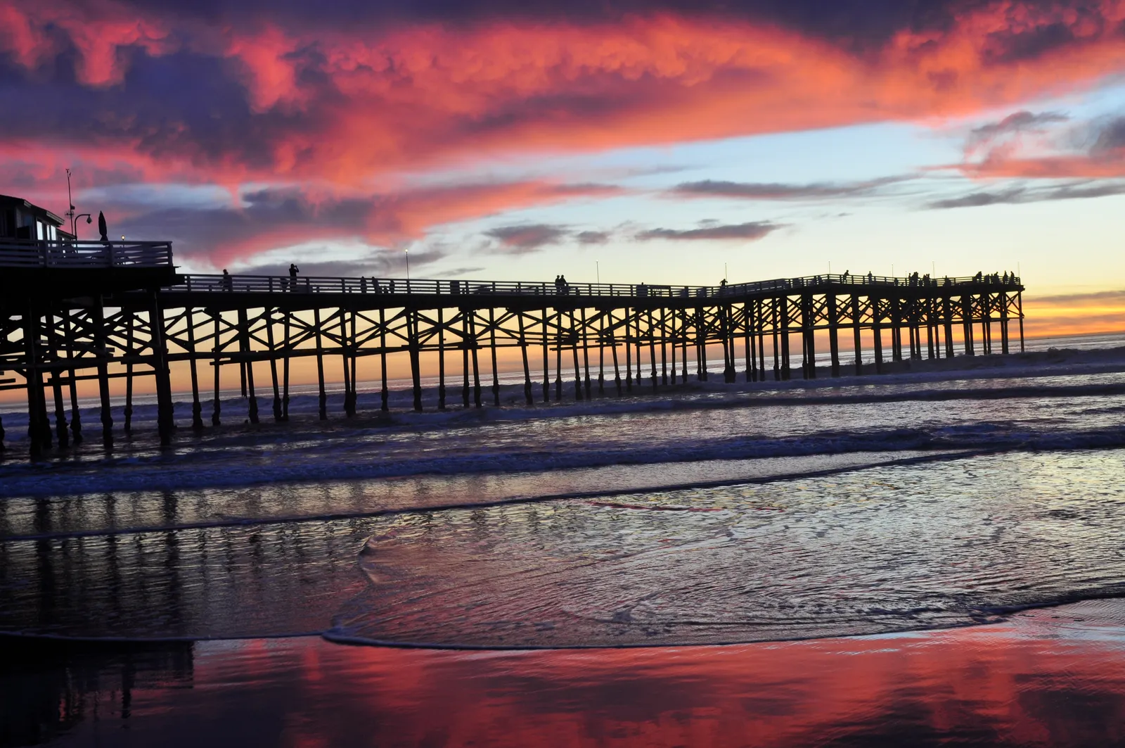
La Jolla Shores
La Jolla · San Diego County · California

Did you dive today?Please share the visibility to make our algorithm more accurate.
Report visibilityToday's forecast
Updated 6:06 AM PT today · July 28, 2026Dawn is glassiest — light offshore flow holds the canyon water clear. Onshore wind picks up by late morning and ripples the shallow inside, but the deep water off the rim stays clean.
7-Day Forecast
Map · getting there
32.857° N · 117.257° W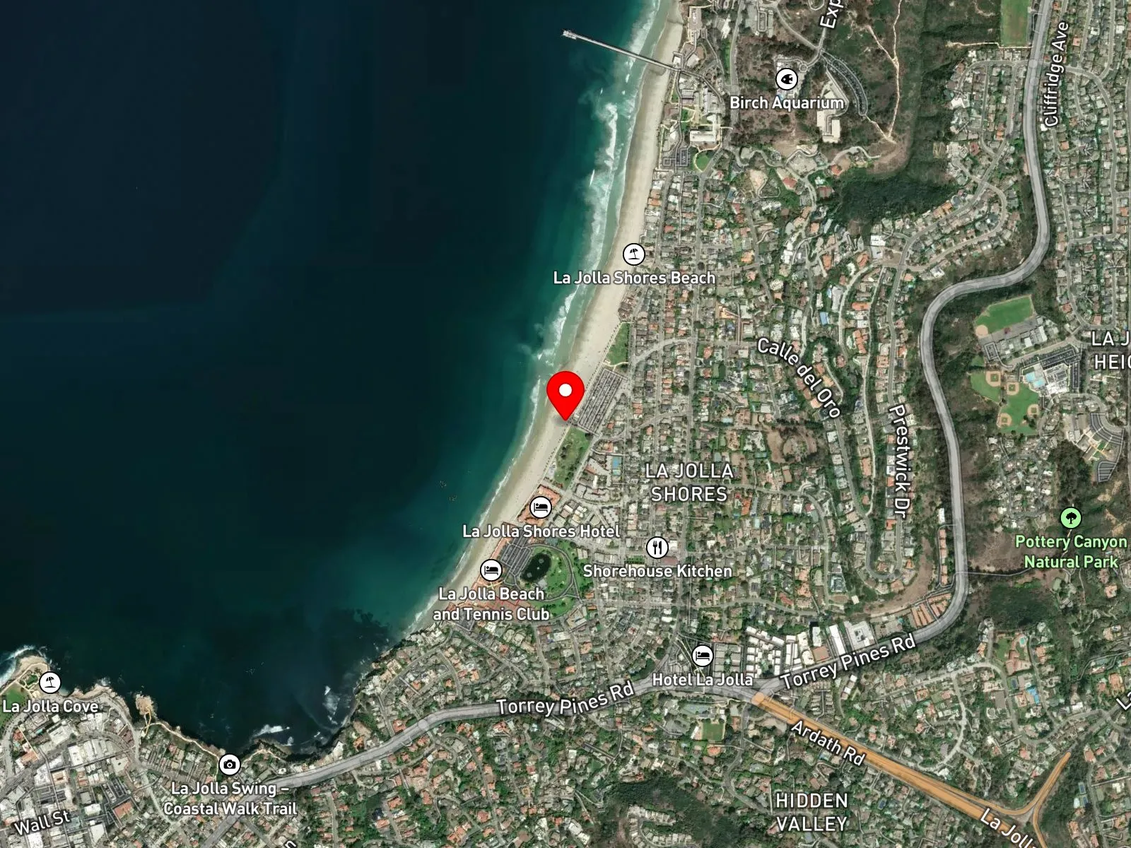
La Jolla, CA 92037
About La Jolla Shores
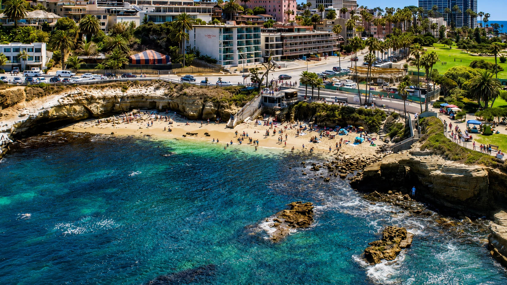
La Jolla Shores is a roughly one-mile sandy crescent on the eastern edge of La Jolla in San Diego, running from the sandstone bluff at the south end, where the rocks of La Jolla Cove begin, north to the base of Scripps Pier. The water fronting Kellogg Park sits inside the Matlahuayl State Marine Reserve. A permanent lifeguard observation tower, opened in 2013, stands at the south end of Kellogg Park, the grass park immediately landward of the beach. Kellogg Park also holds a 350-space free public lot at the foot of Calle Frescota, public restrooms, and a children's playground. The boat launch at the foot of Avenida de la Playa, at the south end of the Shores, is the only ocean-beach boat launch inside San Diego city limits.
The defining feature of La Jolla Shores is the summer leopard shark aggregation. From June through November and into December in some years, hundreds to thousands of leopard sharks gather in the shallow water directly off the beach, with peak abundance from July through September. Roughly 95 percent of the aggregating sharks are mature pregnant females. The warm shallow water at the Shores accelerates embryonic development during their 10- to 12-month gestation, and documented female abundance increases with sea surface temperature. The sharks hold in knee- to waist-deep water during the day, visible from shore and reachable by snorkelers within feet of the wading line. At night they move offshore into the head of La Jolla Submarine Canyon. Acoustic-tag work by Andrew Nosal at Scripps Institution of Oceanography documented the daily inshore-to-canyon pattern and identified smell as the primary cue the sharks use to return to the aggregation site, and genetic analysis of 22 sampled litters confirmed multiple paternity in eight of them. Leopard sharks are not known to attack humans. Snorkeling and shallow-water wading to view them rank among the largest summer ocean activities at the Shores, supported by both guided tour groups and unguided shore entries.
The head of La Jolla Submarine Canyon reaches close to shore directly off La Jolla Shores, which makes the canyon one of the most-dived shore-accessible deep-water sites in Southern California. The rim sits in roughly 45 feet of water a short surface swim from the beach. From the rim, the face drops rapidly past 200 feet, and the canyon floor falls past 600 feet farther offshore. Recreational scuba divers descend along ledges and overhangs that begin at 40 to 60 feet and continue deeper. Named features along the dropoff include Vallecitos Point, often called the Main Wall, and the Amphitheatre.
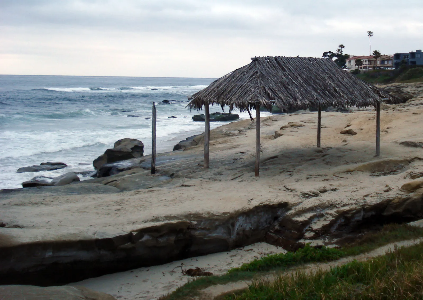
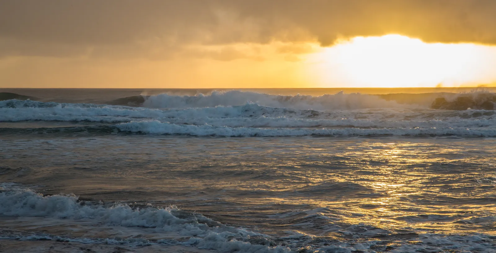
The sandy bottom and breaking shorebreak make this beach a surf zone biome. At the south end the substrate transitions to boulders and rock at the base of the bluff fronting La Jolla Cove, and that bare rock structure, with no kelp cover, is a rocky reef biome. Offshore from the beach, the head of La Jolla Submarine Canyon drops from the rim into deep water; that vertical structure with its sharp depth change is a canyon biome.
The Marine Room entry, at the southernmost end of the beach, is the standard south-end access for the most ambitious snorkel and dive routes from La Jolla Shores. It is the closest beach access to the head of the submarine canyon. The densest summer leopard shark aggregation holds in the shallows directly offshore of this end, and it provides the closest starting point for the southward swim to La Jolla Cove.
Surfing draws a steady learner crowd in the shorebreak, making La Jolla Shores one of the standard learner-surf beaches in San Diego County. The gently sloping bottom and year-round lifeguard coverage support frequent swimming and bodyboarding. The same gentle slope and the protected water inside the reserve make the Shores a hub for novice scuba certification dives, while the head of the submarine canyon draws divers working the deeper face. Kayakers launch from the Avenida de la Playa boat launch. Fishing and spearfishing are prohibited.
The Kellogg Park lot at the foot of Calle Frescota holds 350 free spaces and fills before 9 a.m. on summer weekends. Metered parking on Avenida de la Playa runs $1.25 per hour with a two-hour weekend limit. Free street parking opens up several blocks inland.
Take of all living marine resources is prohibited within the Matlahuayl State Marine Reserve, which extends from the base of Scripps Pier in the north (32° 51.964′ N) south to the La Jolla Cove area (32° 51.067′ N) and overlaps the broader San Diego-La Jolla Underwater Park Ecological Reserve. North of Scripps Pier, the water sits inside the adjoining San Diego-Scripps Coastal State Marine Conservation Area, where take is restricted to pelagic finfish by hook and line.

Surf Zone
The surf zone biome consists of sandy beaches and breaking waves. The action of surf disturbing the sand and kicking it up exposes marine invertebrates, buried in their shallow dens. This natural exposure of invertebrates attracts all kinds of fish, looking for an easy meal. Learn more about this biome and the species found in it by clicking the link below.
Learn more in the Biome Glossary
Rocky Reef
The rocky reef biome is bare rock, boulder, and cobble structure without a kelp canopy above it. The hard relief and its crevices shelter invertebrates and reef fish, and the structure concentrates life that the surrounding sand cannot hold. Learn more about this biome and the species found in it by clicking the link below.
Learn more in the Biome Glossary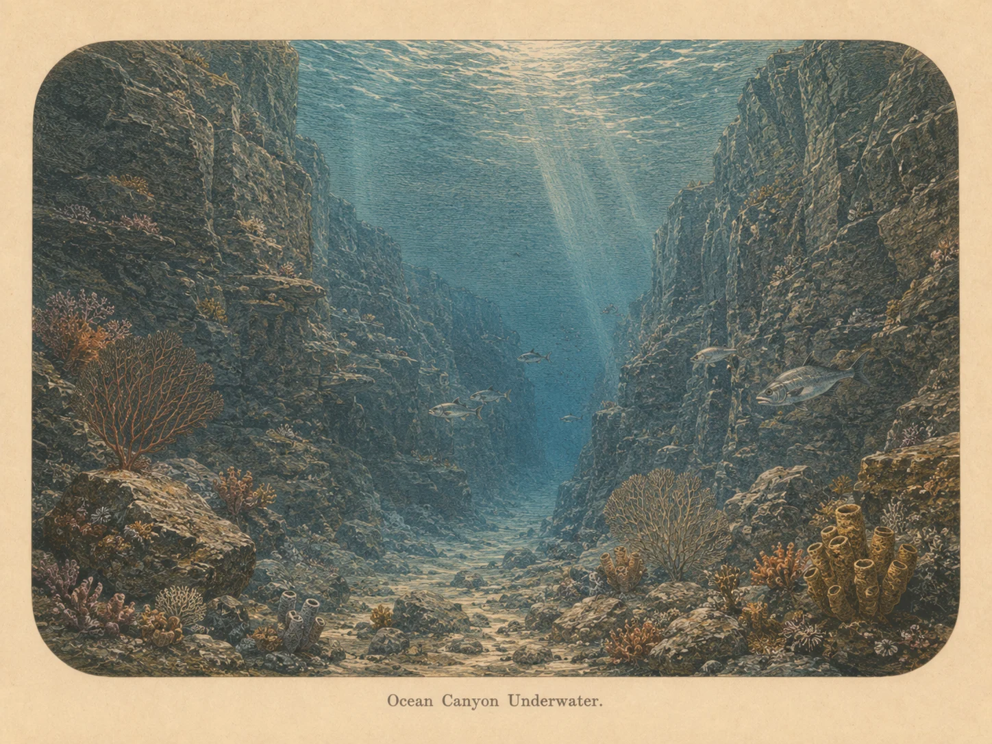
Canyon
The canyon biome is sharp vertical relief with a real depth change — walls, pinnacles, and drop-offs. The structure draws current-borne food and concentrates fish and large predators along its edges. Learn more about this biome and the species found in it by clicking the link below.
Learn more in the Biome GlossarySnorkel Species Report
Nearby beaches
Gain the Power
of the Oracle.
Ocean Oracle sees the future. Get 7-day visibility forecasts for every beach, plus alerts the night before clarity peaks — so you never miss a prime day.
Free shows you what the ocean looks like today. Ocean Oracle shows you the week ahead and the fish waiting for you down there.
Visibility predictions for the entire week ahead at any beach. Plan dives, schedule charters, book trips — without guessing.
The night before any beach hits prime conditions, Ocean Oracle pings your phone. Wake up knowing exactly where to go.
Track your favorite beaches in one place. Forecasts and alerts for everywhere you dive.
For every beach: what species are there, when they show up, and how to target them. Built by spearos, for spearos.
See the future. Dive on the right days.