
La Jolla Cove
La Jolla · San Diego County · California

Did you dive today?Please share the visibility to make our algorithm more accurate.
Report visibility

Today's forecast
Updated 6:06 AM PT today · July 28, 2026The sheltered cove holds its clarity through the day. A light afternoon onshore stirs the entry shallows, but the reef and kelp past the cove mouth stay clean.
7-Day Forecast
Map · getting there
32.851° N · 117.273° W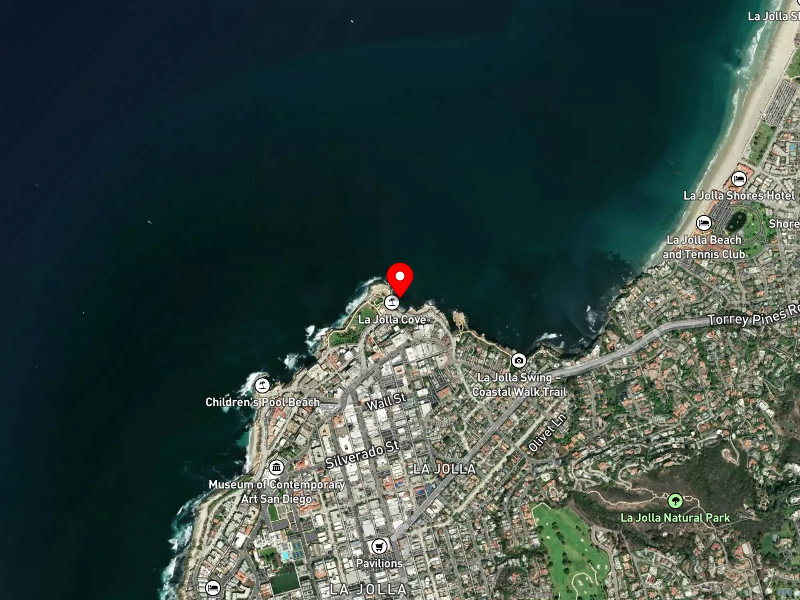
La Jolla, CA 92037
 Open in Google Maps
 Open in Apple Maps
About La Jolla Cove
La Jolla Cove is a small rocky cove on the La Jolla coast in San Diego, set into the sandstone bluff below Scripps Park. The cove sits inside the Matlahuayl State Marine Reserve, a 1.04-square-mile no-take marine protected area, and inside the larger San Diego-La Jolla Underwater Park Ecological Reserve, also no-take. The southernmost portion of the reserve at the cove additionally prohibits boating and anchoring, and buoy lines mark the closed area. A California sea lion colony hauls out on the rocks at the cove and on Boomer Beach immediately to the north. Children's Pool sits a short walk south along Coast Boulevard.
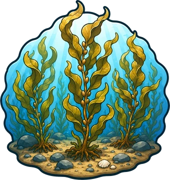
The bottom along the cove walls is rock and boulder, and giant kelp anchors on rocky bottom offshore and to the south. The bare rock and boulder substrate at the cove's edges and shallows is a rocky reef biome. Past the cove mouth, giant kelp anchors on the rocky bottom and grows up through the water column to the surface, putting a kelp forest biome within a short swim of the entry beach. The head of the southern branch of the La Jolla Submarine Canyon lies further offshore but is more strongly an experiential feature of La Jolla Underwater Park as a whole than of the cove itself.
Decades of no-take protection have produced unusually dense and approachable fish populations, and snorkeling, scuba, and wildlife viewing draw nearly all the use here. Freediving for observation is not restricted by the take rules. Surfing is uncommon because the cove is sheltered. Visibility runs 30 to 50 feet in summer and can drop to 5 to 10 feet during plankton blooms or after rain.
Parking is the hard part. Free street parking on Coast Boulevard fills before 9 a.m., metered spots nearby run $1 to $2 per hour, and walking a block or two inland often opens up free options. Take of all living marine resources has been prohibited inside the Matlahuayl State Marine Reserve and the San Diego-La Jolla Underwater Park Ecological Reserve under California Code of Regulations Title 14, and enforcement covers both fishing and spearfishing throughout the cove.

Rocky Reef
The rocky reef biome is bare rock, boulder, and cobble structure without a kelp canopy above it. The hard relief and its crevices shelter invertebrates and reef fish, and the structure concentrates life that the surrounding sand cannot hold. Learn more about this biome and the species found in it by clicking the link below.
Learn more in the Biome Glossary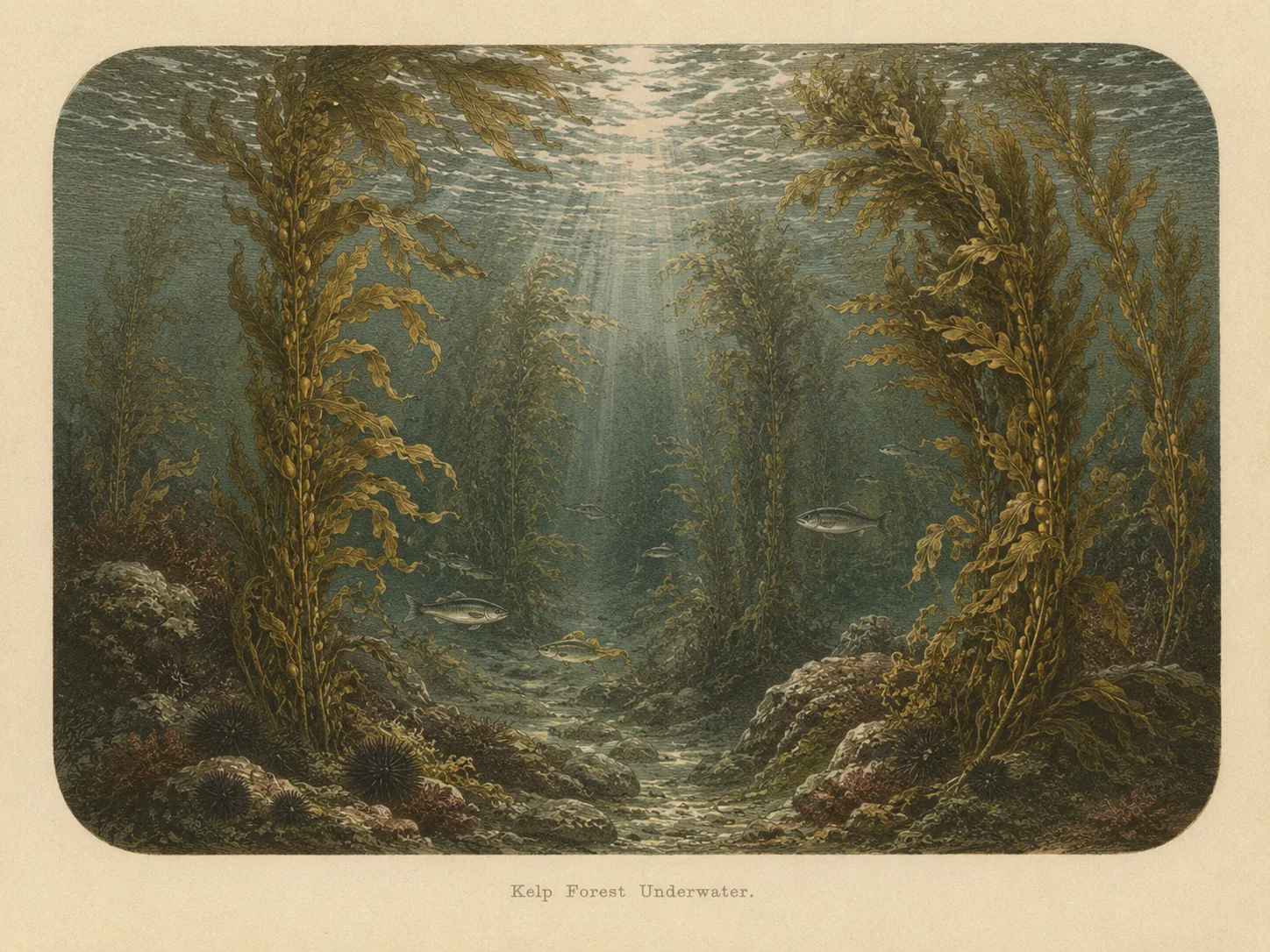
Kelp Forest
The kelp forest biome is giant kelp anchored to rocky bottom and growing up through the water column. The canopy and stipes form a three-dimensional habitat that shelters fish, invertebrates, and the predators that hunt them. Learn more about this biome and the species found in it by clicking the link below.
Learn more in the Biome GlossarySnorkel Species Report
Nearby beaches
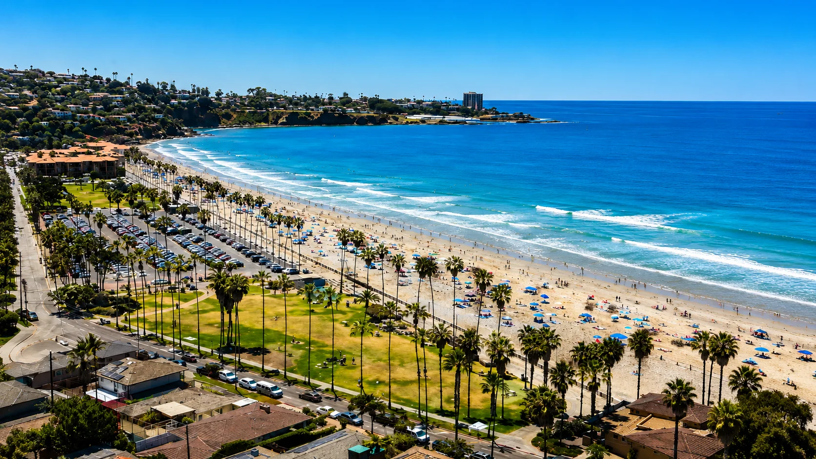
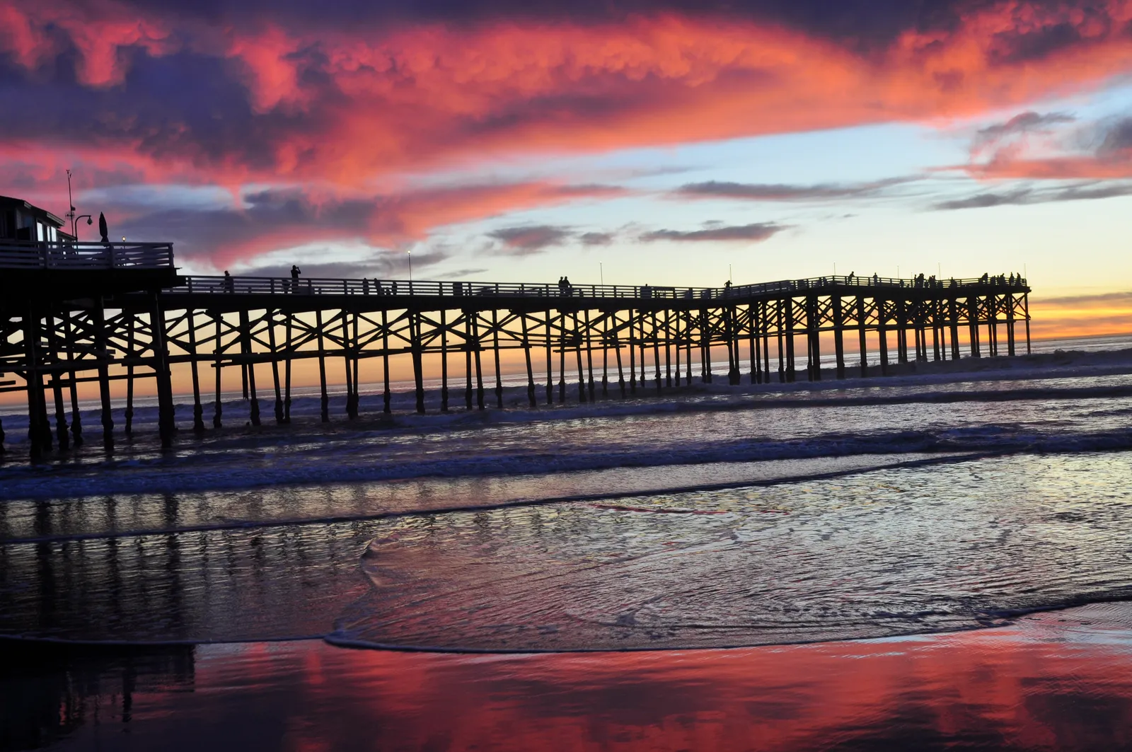
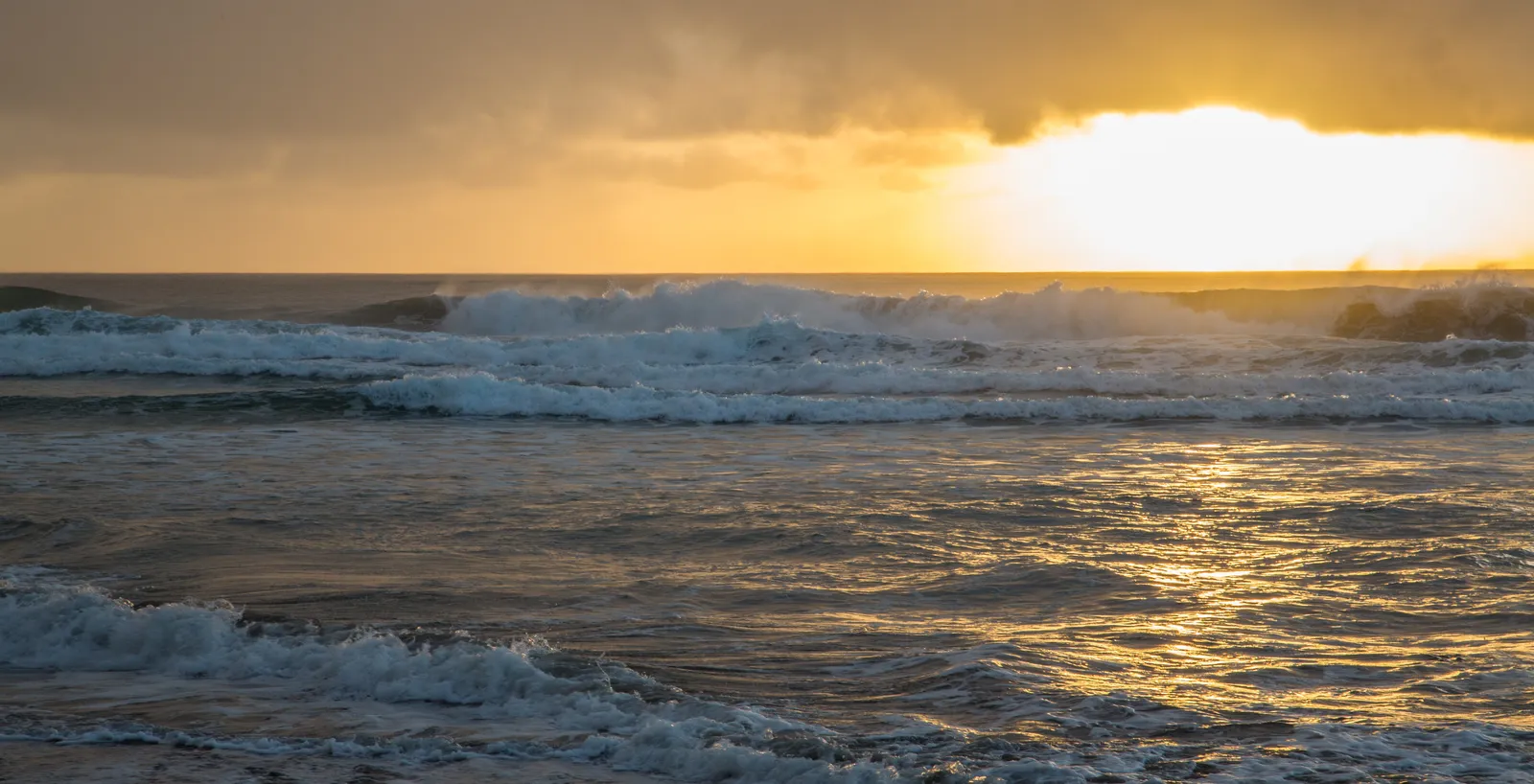
 Surf Zone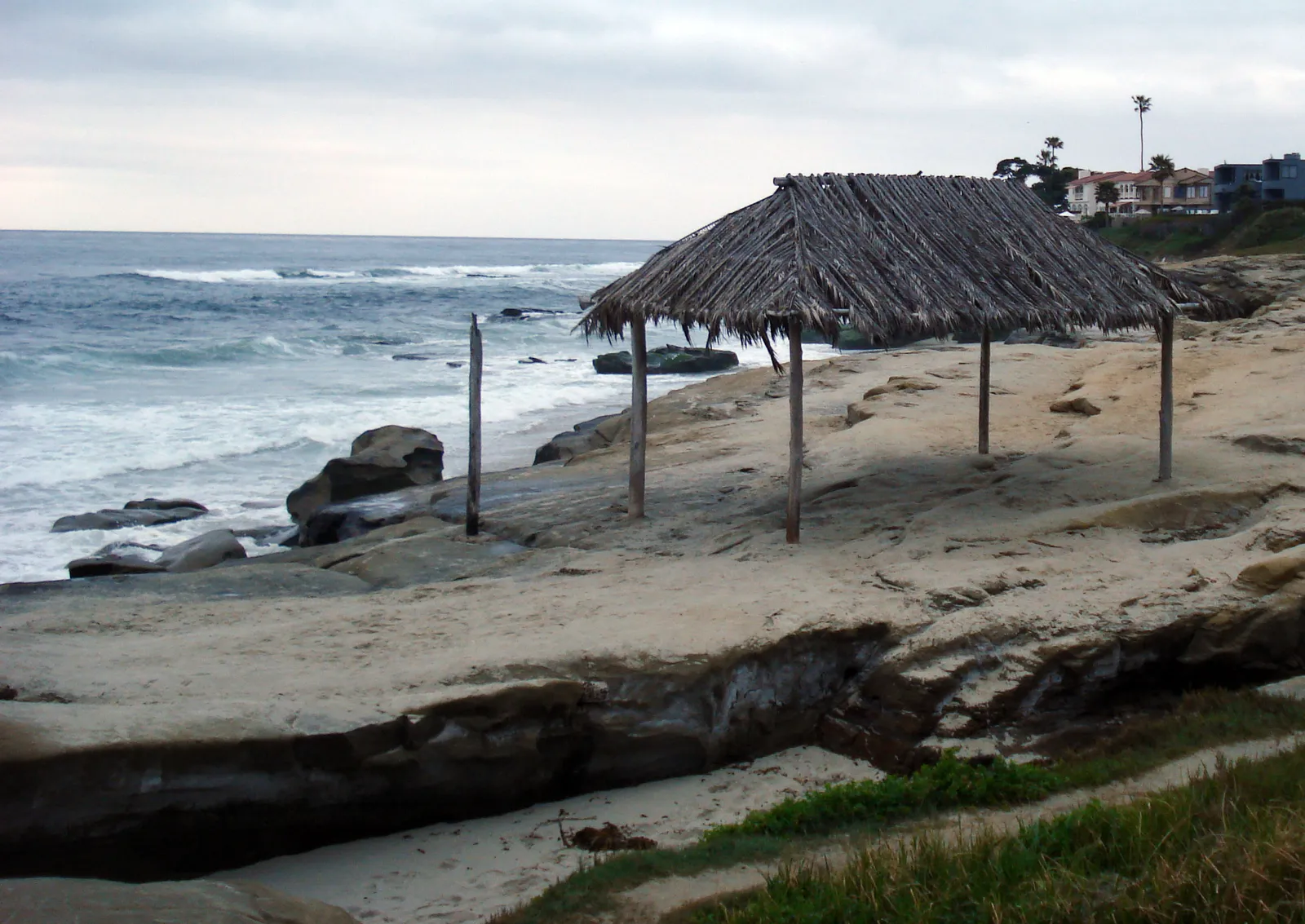
 Ocean Oracle Pro
Gain the Power
of the Oracle.
Ocean Oracle sees the future. Get 7-day visibility forecasts for every beach, plus alerts the night before clarity peaks — so you never miss a prime day.
Free shows you what the ocean looks like today. Ocean Oracle shows you the week ahead and the fish waiting for you down there.
Visibility predictions for the entire week ahead at any beach. Plan dives, schedule charters, book trips — without guessing.
The night before any beach hits prime conditions, Ocean Oracle pings your phone. Wake up knowing exactly where to go.
Track your favorite beaches in one place. Forecasts and alerts for everywhere you dive.
For every beach: what species are there, when they show up, and how to target them. Built by spearos, for spearos.
See the future. Dive on the right days.