
Gull Island
Santa Cruz Island · Channel Islands National Park · California

Did you dive today?Please share the visibility to make our algorithm more accurate.
Report visibility
Today's forecast
Updated 6:06 AM PT today · July 28, 2026The clarity holds through the day, with a light afternoon onshore the only disturbance to the entry shallows.
7-Day Forecast
Map · getting there
33.951° N · 119.825° W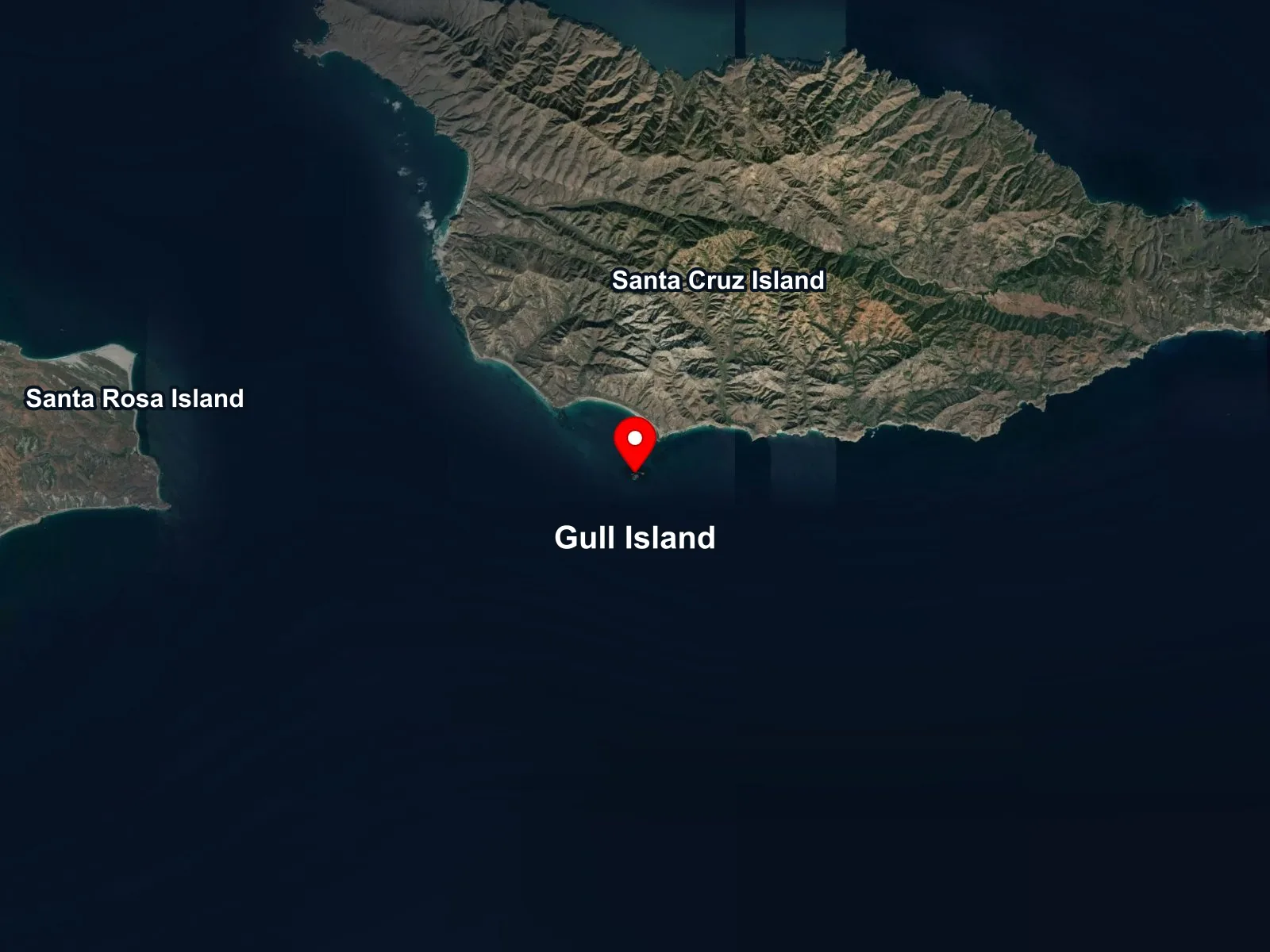
Channel Islands National Park · California
 Open in Google Maps
 Open in Apple Maps
About Gull Island
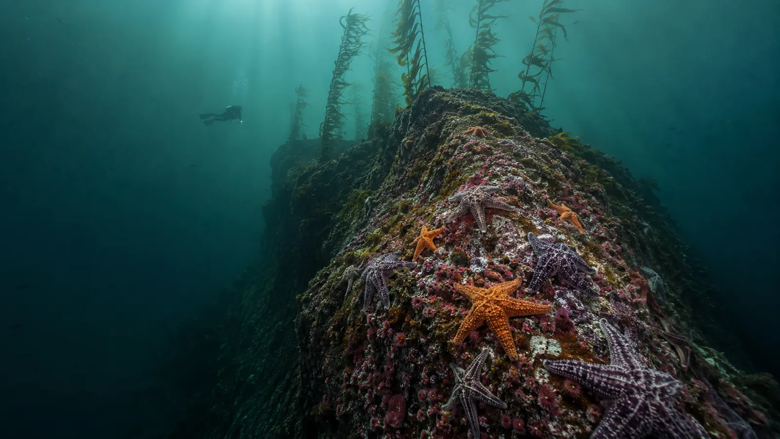
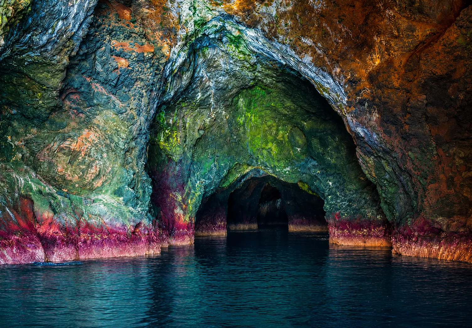
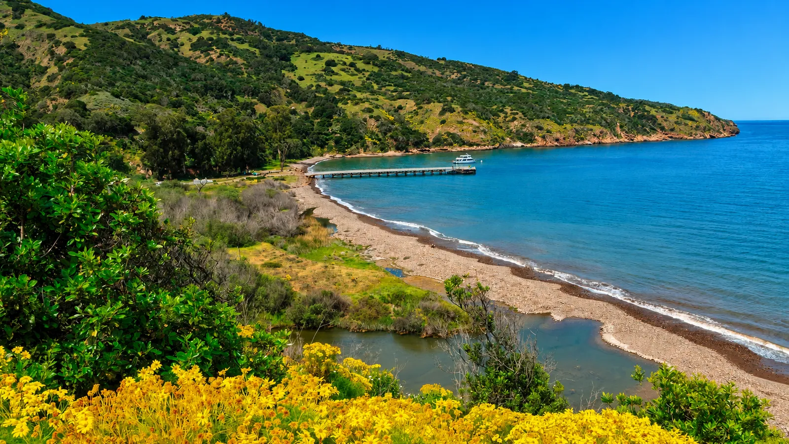
Gull Island is a small rock island a little more than a mile offshore from the south-central coast of Santa Cruz Island, on the side that local boats call the back side. The dive site wraps the island itself and the shallow reef chain that runs out from it, with depths from about thirty feet on the kelp tops to ninety on the sand floor between structures. The island carries one of the largest shallow-water outcrops of California purple hydrocoral on the coast, with the pink and lavender colonies thick enough to dominate sections of the reef at thirty to fifty feet.
The hydrocoral is the headline. Purple hydrocoral grows in concentration at only a handful of California sites, most of them at offshore seamounts such as Farnsworth Bank off Catalina and Cordell Bank off Marin, and the Gull Island colony is among the largest that sit in recreational scuba depths. Lush giant kelp covers the shallower reef around the island.
Giant kelp anchored on the shallow reef around the island and growing up through the water column to the surface makes Gull Island a kelp forest biome. A rocky reef biome holds the bare structure between the kelp patches, including the hydrocoral-encrusted faces themselves, distinct from the kelp. The canyon biome is the vertical relief from the island's underwater base out to the open water, with the steep dropoffs to the deeper sand. Out past the reef edge, the seaward open water carries a pelagic biome where larger pelagic species transit through.
Access is boat only. Charter dive boats run to Gull Island from Ventura, Santa Barbara, and Channel Islands Harbor in Oxnard. The crossing is about two hours from Ventura, and the back-side run adds another half hour around the island's south coast. The site sits in open water on the southwest face of the island and is exposed to any south or southwest swell, which closes it on a building day.
Fishing and spearfishing are not legal here. The Gull Island State Marine Reserve covers the island, the surrounding reef chain, and a long stretch of the Santa Cruz coast to the south of it, with the matching federal reserve extending into deeper water. All take inside the reserve has been prohibited since the original 2003 designation. Standard California recreational rules apply only outside the reserve boundary box, which lies several miles in any direction from the dive site.
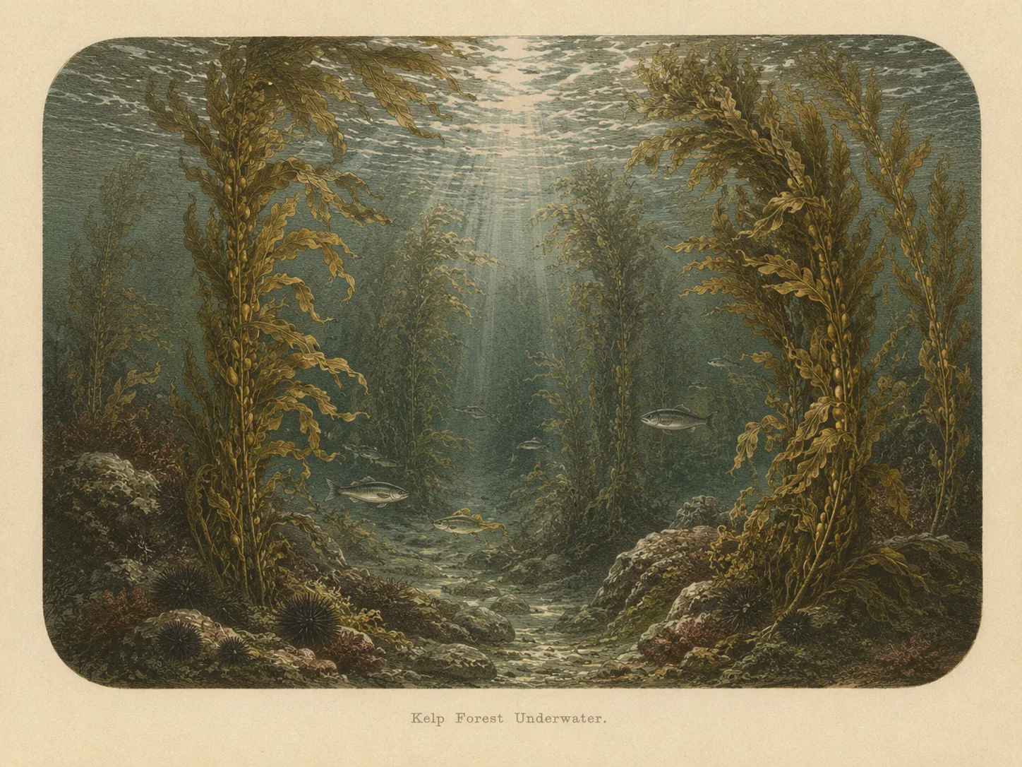
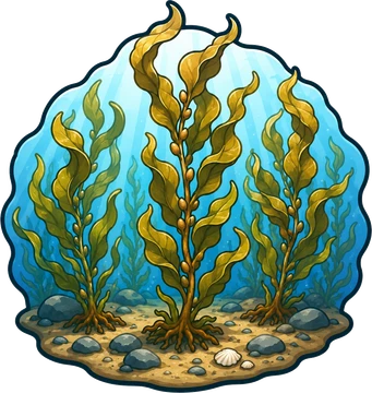
Kelp Forest
The kelp forest biome is giant kelp anchored to rocky bottom and growing up through the water column. The canopy and stipes form a three-dimensional habitat that shelters fish, invertebrates, and the predators that hunt them. Learn more about this biome and the species found in it by clicking the link below.
Learn more in the Biome Glossary
Rocky Reef
The rocky reef biome is bare rock, boulder, and cobble structure without a kelp canopy above it. The hard relief and its crevices shelter invertebrates and reef fish, and the structure concentrates life that the surrounding sand cannot hold. Learn more about this biome and the species found in it by clicking the link below.
Learn more in the Biome Glossary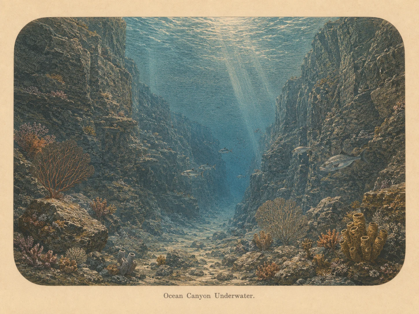
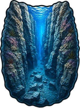
Canyon
The canyon biome is sharp vertical relief with a real depth change — walls, pinnacles, and drop-offs. The structure draws current-borne food and concentrates fish and large predators along its edges. Learn more about this biome and the species found in it by clicking the link below.
Learn more in the Biome Glossary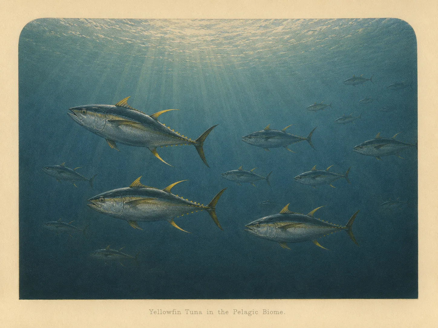
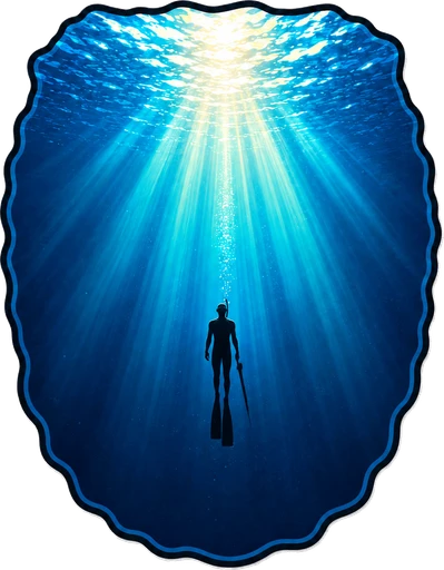
Pelagic
The pelagic biome is open water away from the bottom and from structure. It is the realm of fast, schooling fish and the large predators that follow them in from deeper water. Learn more about this biome and the species found in it by clicking the link below.
Learn more in the Biome GlossarySnorkel Species Report
Nearby beaches
 Surf Zone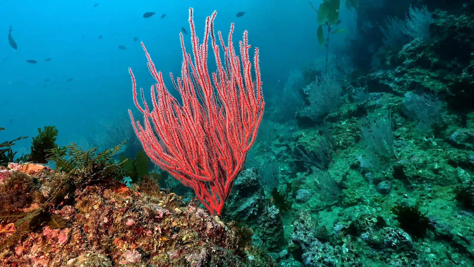
 Ocean Oracle Pro
Gain the Power
of the Oracle.
Ocean Oracle sees the future. Get 7-day visibility forecasts for every beach, plus alerts the night before clarity peaks — so you never miss a prime day.
Free shows you what the ocean looks like today. Ocean Oracle shows you the week ahead and the fish waiting for you down there.
Visibility predictions for the entire week ahead at any beach. Plan dives, schedule charters, book trips — without guessing.
The night before any beach hits prime conditions, Ocean Oracle pings your phone. Wake up knowing exactly where to go.
Track your favorite beaches in one place. Forecasts and alerts for everywhere you dive.
For every beach: what species are there, when they show up, and how to target them. Built by spearos, for spearos.
See the future. Dive on the right days.