
Mission Bay
San Diego · San Diego County · California
Did you dive today?Please share the visibility to make our algorithm more accurate.
Report visibilityToday's forecast
Updated 6:06 AM PT today · July 28, 2026Bay visibility rarely exceeds 10 feet. Dawn is the calmest window before boat and jet ski wakes stir the bottom for the rest of the day.
7-Day Forecast
Map · getting there
32.767° N · 117.236° W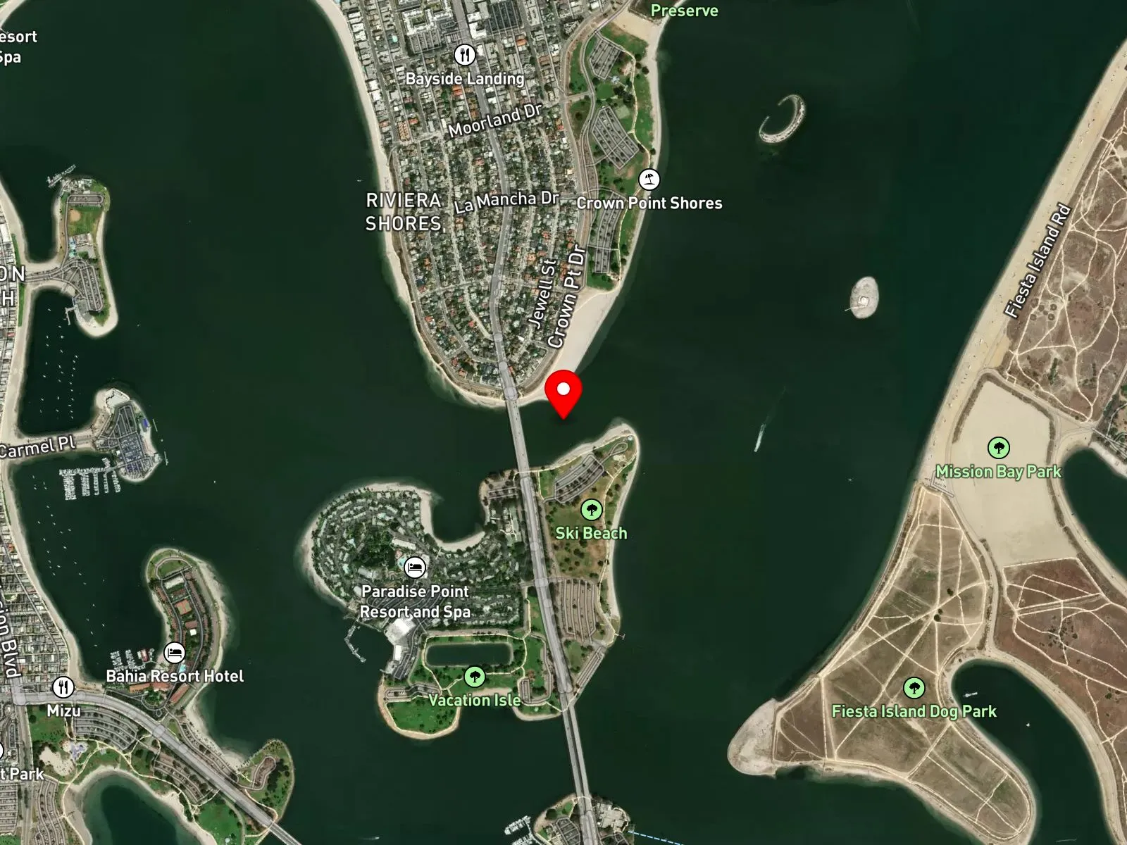
Mission Bay, San Diego, CA 92109
About Mission Bay
Mission Bay is a 4,200-acre protected recreational bay in San Diego, the largest aquatic park of its kind in the United States. The bay opens to the Pacific between Mission Beach and Ocean Beach through the San Diego River channel, with city parks and peninsulas closing it on the other three sides. Crown Point Shores, Vacation Isle, Fiesta Island, and De Anza Cove are the major peninsulas inside the bay. SeaWorld occupies the southwest corner. The bay surface stays sheltered from open-ocean swell.
The partially enclosed water body, with its reduced wave energy and tidal exchange, is a bay biome. Eelgrass beds spread across the shallow sand flats throughout the bay, adding a seagrass biome inside the same shoreline.
Hook-and-line fishing for halibut on the drifts in the channels is the most common water activity, and swimming and wading are common at the designated swim beaches. Spearfishing is legal but dangerous because of heavy boat, jet ski, and swimmer traffic, and visibility rarely exceeds 10 feet. With no swell reaching inside the bay, surfing is absent. The same low visibility keeps scuba uncommon and limits snorkeling to the calmer corners.
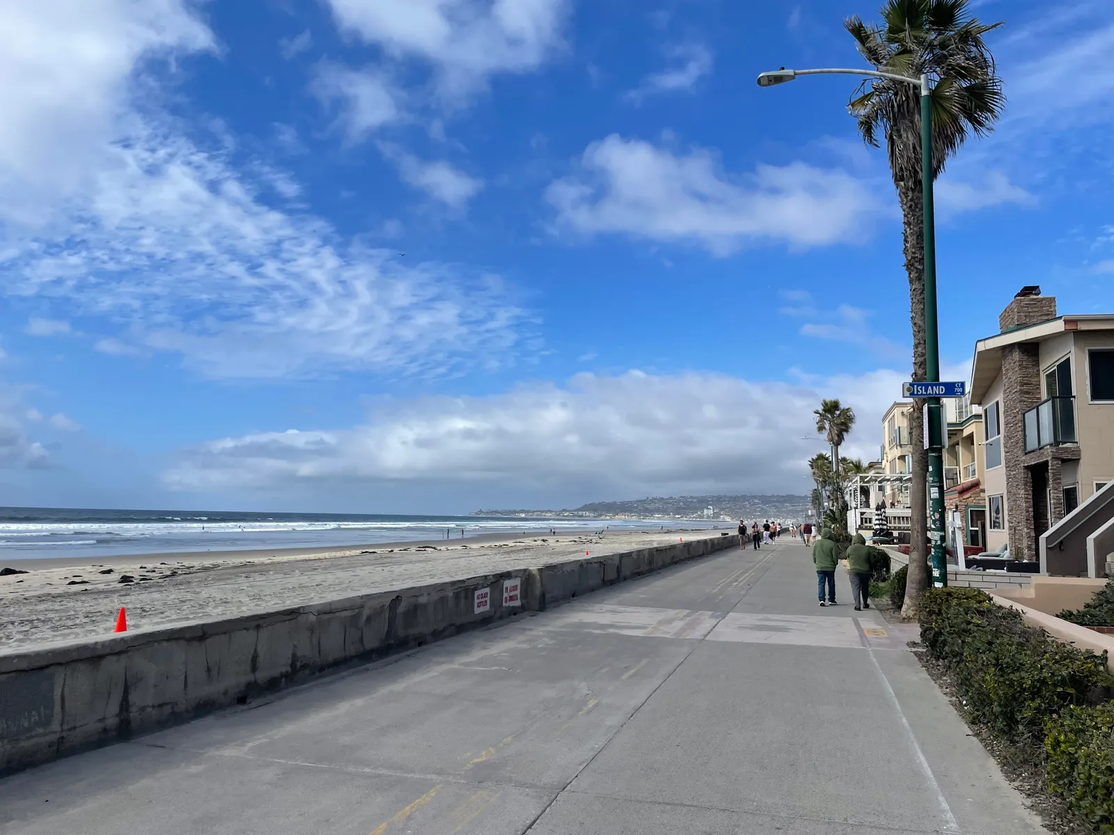
Free public lots serve the bay parks at Crown Point, Fiesta Island, De Anza Cove, Vacation Isle, and Bonita Cove. Lots fill quickly on summer weekends, but the bay is large enough that a spot can usually be found somewhere. Fishing and spearfishing are legal here under standard California regulations.
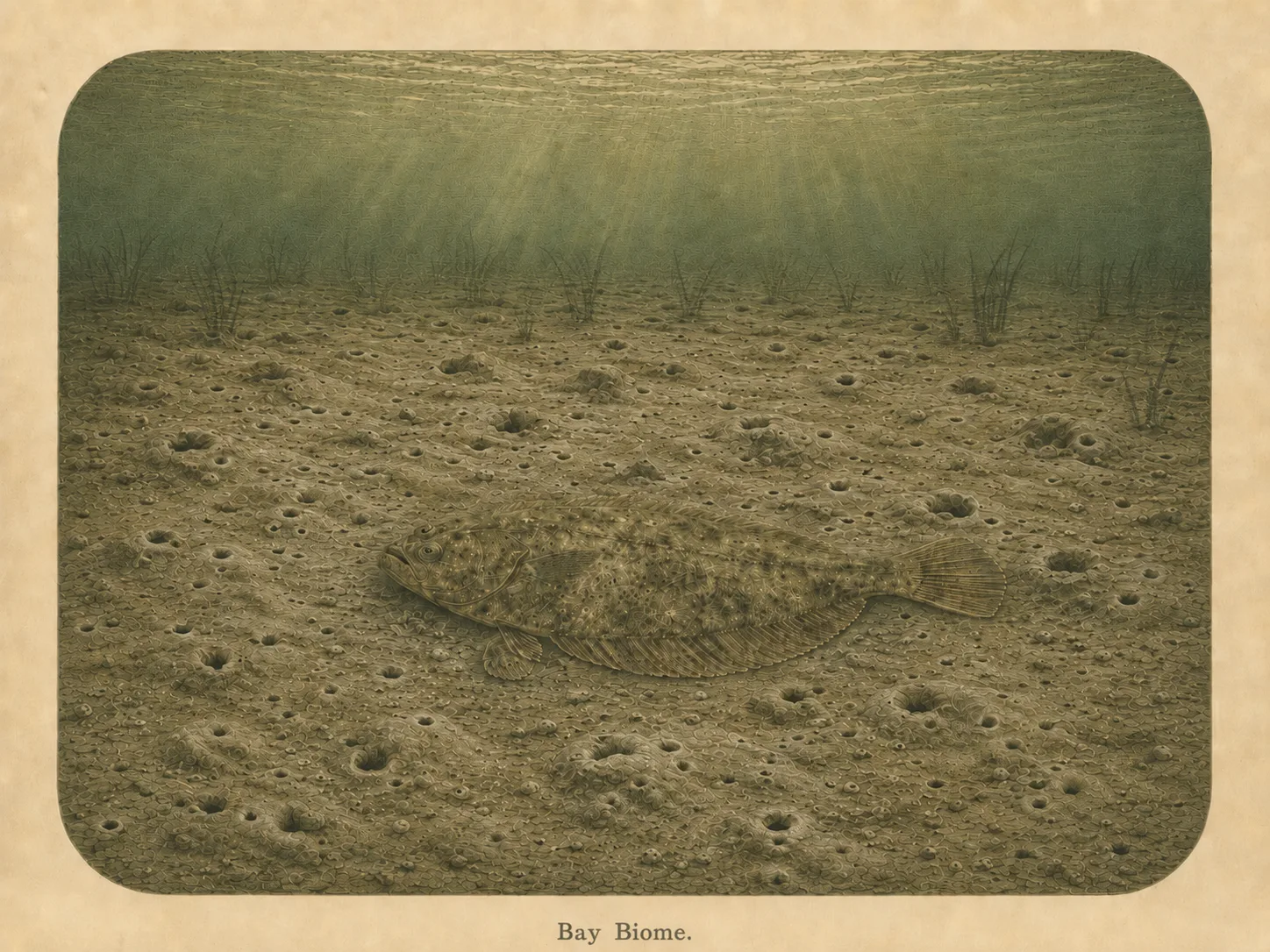
Bay
The bay biome is sheltered, low-energy water behind a jetty, headland, or harbor mouth. Reduced wave action lets fine sediment settle out and supports calm-water species and the juveniles that shelter there. Learn more about this biome and the species found in it by clicking the link below.
Learn more in the Biome Glossary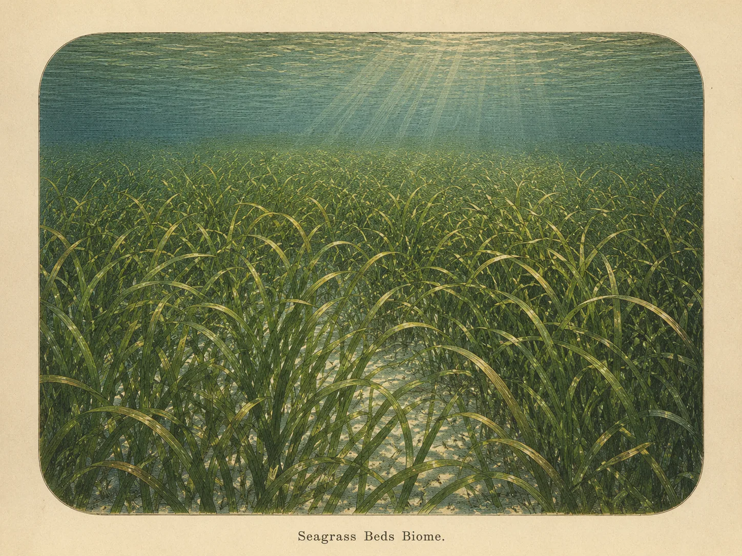
Seagrass Bed
The seagrass biome is sandy bottom carpeted with eelgrass or surfgrass. The blades shelter juvenile fish and invertebrates and stabilize the sediment against the current. Learn more about this biome and the species found in it by clicking the link below.
Learn more in the Biome GlossaryTarget Fish Species
Nearby beaches
 Surf Zone
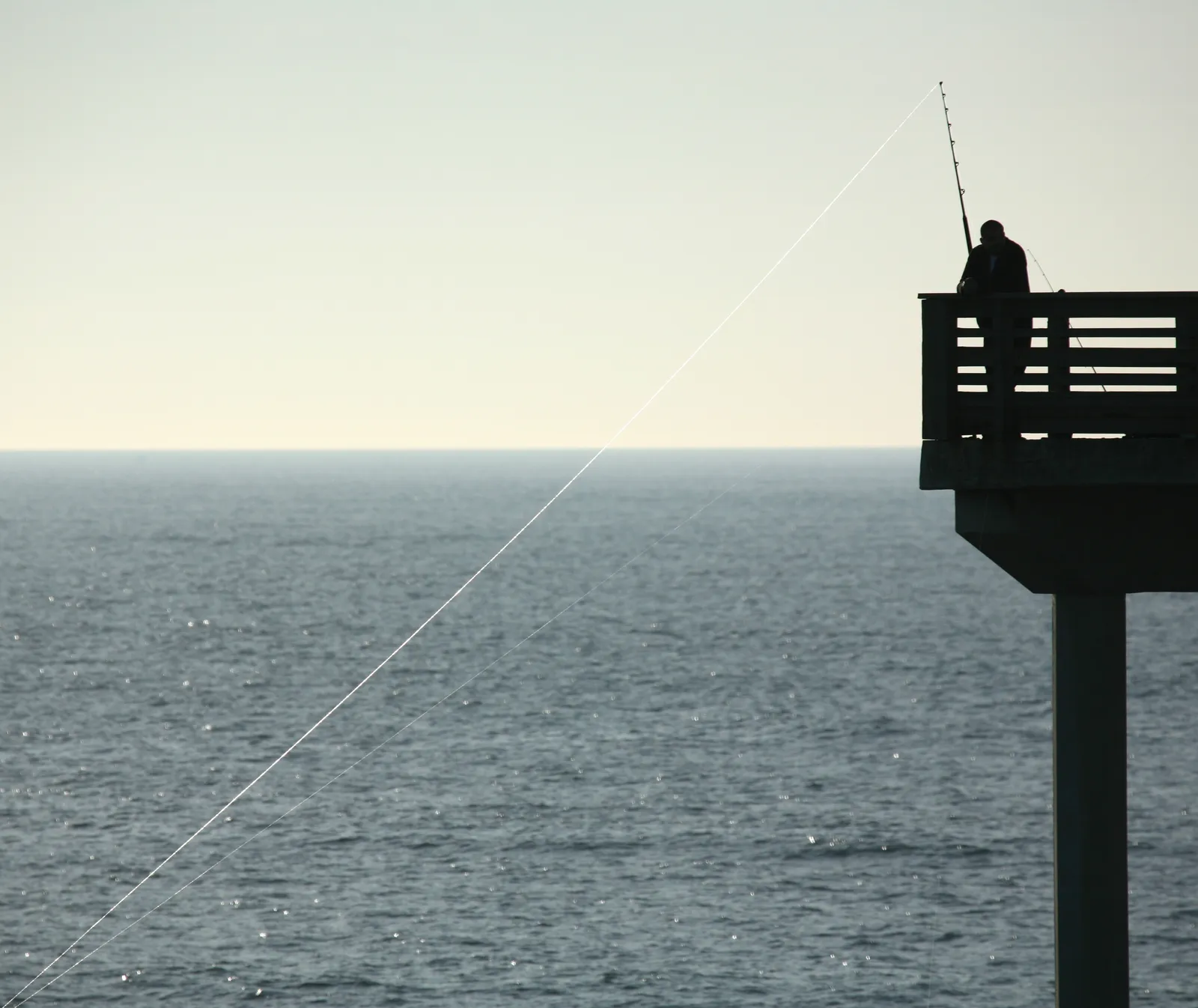
Gain the Power
of the Oracle.
Ocean Oracle sees the future. Get 7-day visibility forecasts for every beach, plus alerts the night before clarity peaks — so you never miss a prime day.
Free shows you what the ocean looks like today. Ocean Oracle shows you the week ahead and the fish waiting for you down there.
Visibility predictions for the entire week ahead at any beach. Plan dives, schedule charters, book trips — without guessing.
The night before any beach hits prime conditions, Ocean Oracle pings your phone. Wake up knowing exactly where to go.
Track your favorite beaches in one place. Forecasts and alerts for everywhere you dive.
For every beach: what species are there, when they show up, and how to target them. Built by spearos, for spearos.
See the future. Dive on the right days.