
Torrey Pines State Beach
San Diego · San Diego County · California

Did you dive today?Please share the visibility to make our algorithm more accurate.
Report visibilityToday's forecast
Updated 6:06 AM PT today · July 28, 2026Dawn is the clearest window — afternoon onshore wind picks up the sand and dims visibility through the heat of the day.
7-Day Forecast
Map · getting there
32.923° N · 117.261° W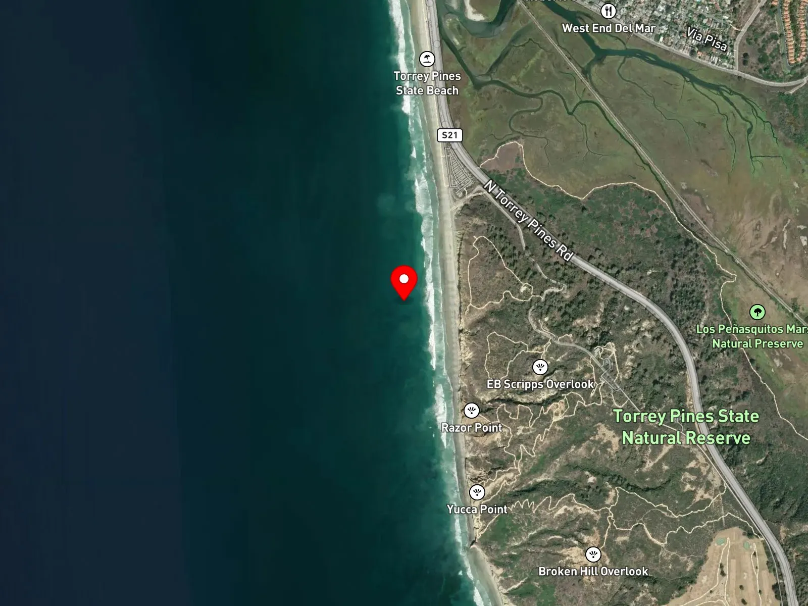
San Diego, CA 92037
About Torrey Pines State Beach
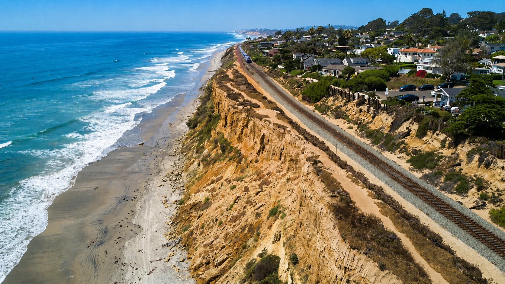
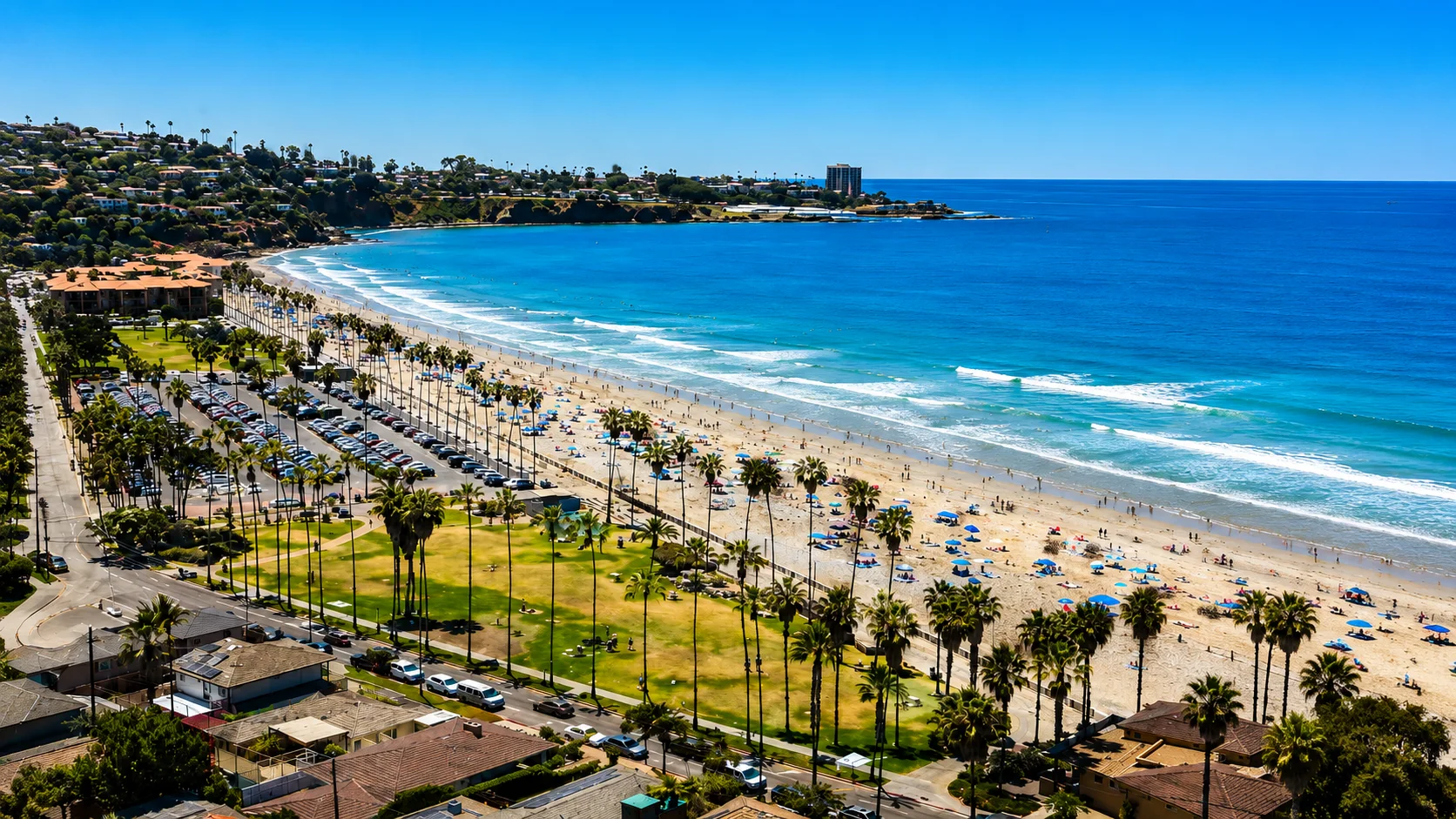
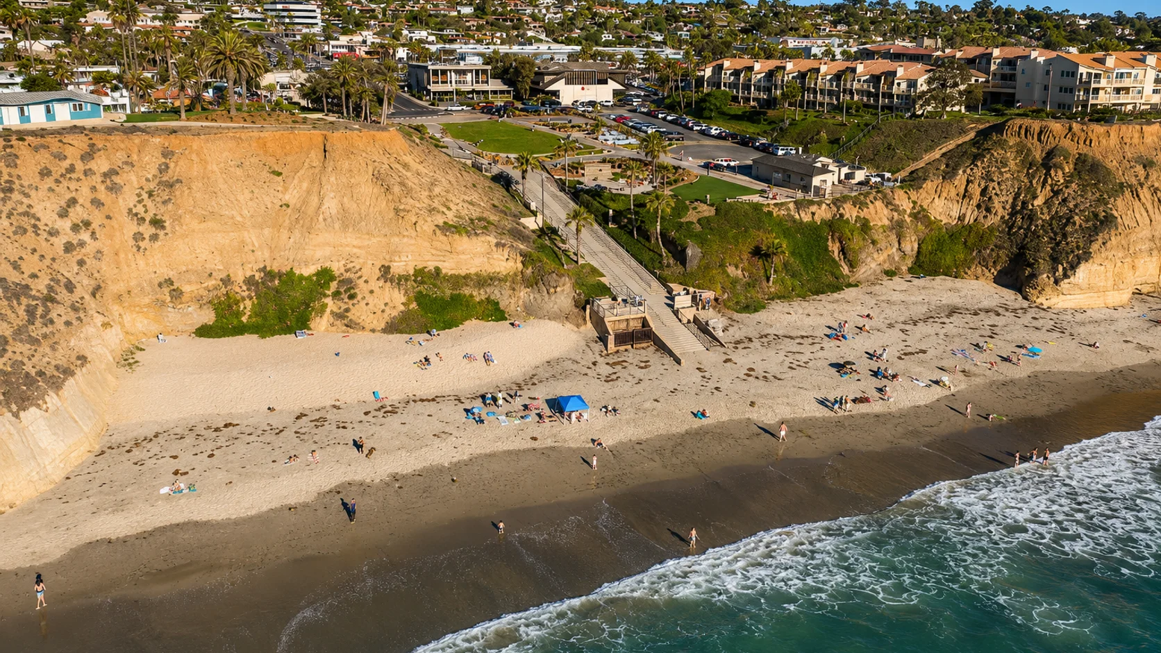
Torrey Pines State Beach is a long sand beach below the 300-foot sandstone cliffs of Torrey Pines State Natural Reserve, between Del Mar to the north and La Jolla to the south. The cliffs above are unstable and have been the site of multiple rescues. The only maintained routes from the bluff to the beach are the Beach Trail inside the State Reserve and the Glider Port Trail at the south end. Black's Beach lies two miles south along the base of the cliffs, reached either by walking south from the Beach Trail or by descending the Glider Port Trail. On the bluff above Black's, the Torrey Pines Gliderport is the staging area for paragliders and hang gliders working the cliff updrafts, and Torrey Pines Golf Course occupies the bluff above the south end of the beach.
The bottom is sand from one end of the beach to the other, with breaking surf and no offshore reef or kelp along the named stretch. That combination makes the spot a surf zone biome.
Swimming and surfing are common, and hook-and-line surf fishing happens alongside them. The absence of rock or kelp leaves nothing to hold fish in close, so spearfishing, snorkeling, and scuba are all uncommon. The San Diego-Scripps Coastal State Marine Conservation Area, with its limited-take rules, begins south at the Glider Port and covers Black's Beach; the named Torrey Pines State Beach sits north of that boundary.
The paid lot at the base of the State Reserve trail charges $15 for the day, and free roadside parking is available on North Torrey Pines Road north of the lot. The lot fills by 10 a.m. on summer weekends. Fishing and spearfishing are legal here under standard California regulations.

Surf Zone
The surf zone biome consists of sandy beaches and breaking waves. The action of surf disturbing the sand and kicking it up exposes marine invertebrates, buried in their shallow dens. This natural exposure of invertebrates attracts all kinds of fish, looking for an easy meal. Learn more about this biome and the species found in it by clicking the link below.
Learn more in the Biome GlossaryTarget Fish Species
Nearby beaches
Gain the Power
of the Oracle.
Ocean Oracle sees the future. Get 7-day visibility forecasts for every beach, plus alerts the night before clarity peaks — so you never miss a prime day.
Free shows you what the ocean looks like today. Ocean Oracle shows you the week ahead and the fish waiting for you down there.
Visibility predictions for the entire week ahead at any beach. Plan dives, schedule charters, book trips — without guessing.
The night before any beach hits prime conditions, Ocean Oracle pings your phone. Wake up knowing exactly where to go.
Track your favorite beaches in one place. Forecasts and alerts for everywhere you dive.
For every beach: what species are there, when they show up, and how to target them. Built by spearos, for spearos.
See the future. Dive on the right days.