
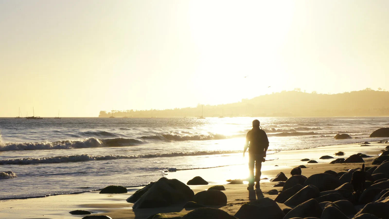
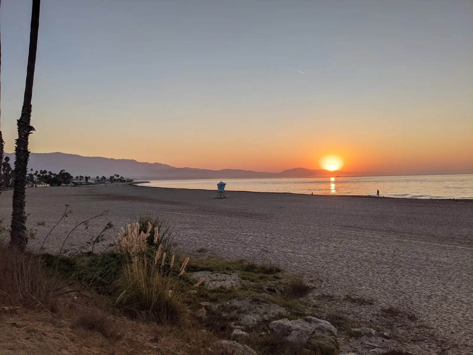
Carpinteria Beach
Santa Barbara · Santa Barbara County · California

Did you dive today?Please share the visibility to make our algorithm more accurate.
Report visibilityToday's forecast
Updated 10:00 AM PT today · July 28, 2026Dawn is the clearest window — onshore wind picks up by late morning and surface chop stirs the bottom through the afternoon.
7-Day Forecast
Map · getting there
34.389° N · 119.522° W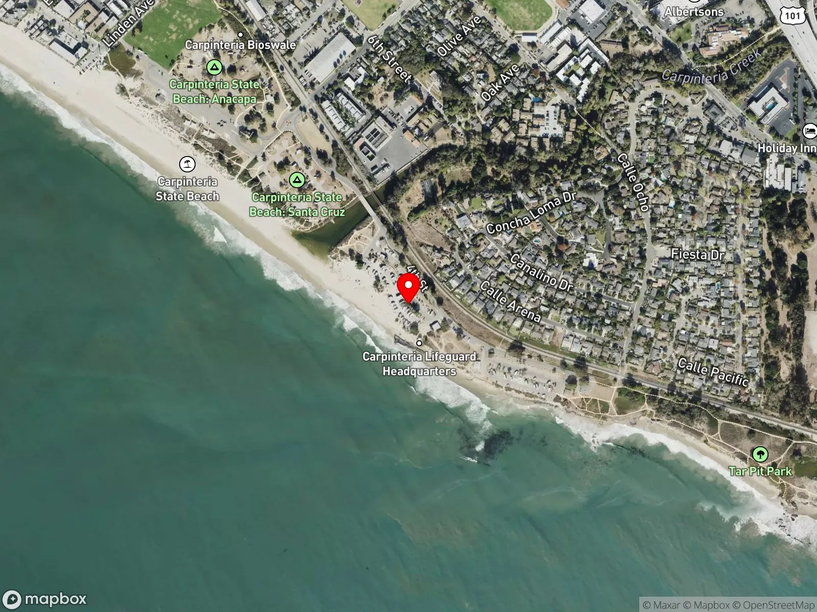
About Carpinteria Beach
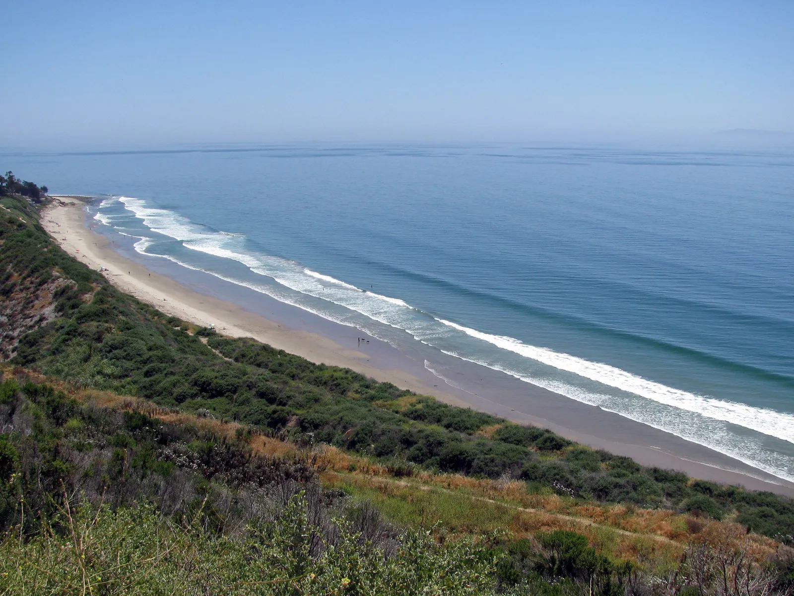
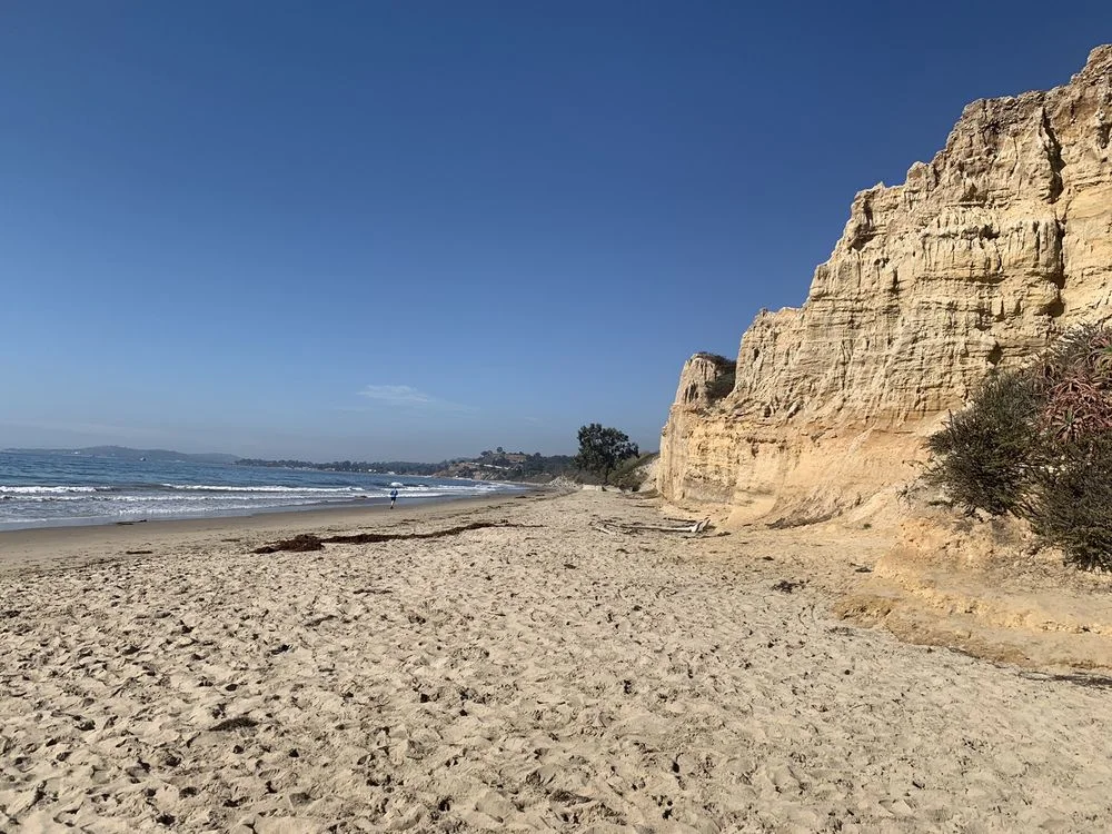
Carpinteria Beach runs along the south end of Santa Barbara County, a continuous shoreline that holds two adjacent public beaches and sits offshore from one of the largest reefs on the California coast. The town's nickname, "World's Safest Beach," comes from its protection: the Channel Islands shadow most south swell and the bottom gradient is gentle, so the inshore stretch produces almost no rip current. The eastern end is Carpinteria City Beach, at the foot of Linden Avenue, the main downtown street. The City Beach section is the family swim zone, walk-in from the sidewalk with free street parking and more strollers than divers. Just to the west, at Palm Avenue, is Carpinteria State Beach, with a paid day-use lot and one of the most heavily booked state beach campgrounds in California. The two beaches share a single sandy shoreline. Farther west, the Carpinteria oil pier extends from the bluff. The pier is private, used for offshore oil operations, and closed to the public.
About three-quarters of a mile offshore from Ash Avenue, the bottom rises into a long band of reef that runs parallel to shore for more than a mile. The reef bottoms out around 25 feet, shallow enough for breath-hold divers to work, and it is a well-known lobster ground. A productive section of reef sits directly off the beach below Santa Barbara City College. Most divers reach the reef by small boat out of Santa Barbara Harbor or by kayak from the State Beach launch off Palm Avenue.
The spot covers three biomes. The beach itself is a surf zone biome of sandy bottom and breaking waves. Where giant kelp anchors to the shallower offshore rock and grows up through the water column to the surface, that section is a kelp forest biome. The bare rock and boulder field on the rest of the reef, exposed without a kelp canopy on top, is the rocky reef biome.
Swimming and camping account for most use of the beaches themselves. Surfing is occasional in modest waves. The offshore reef is the diving identity of the spot, with spearfishing, scuba, lobster diving, and kayak fishing all common; snorkeling on the reef is uncommon because the swim out is long and the bottom runs deeper than most snorkelers prefer.
Parking at the City Beach end is free along Linden, Ash, Holly, and Elm Avenues. State Beach charges $10 day-use at Palm Avenue, 8 a.m. to sunset, with a separate entrance for the campground. The Mishopshno State Marine Conservation Area now covers this stretch of coast, so the current take rules should be confirmed before fishing or spearfishing here.

Surf Zone
The surf zone biome consists of sandy beaches and breaking waves. The action of surf disturbing the sand and kicking it up exposes marine invertebrates, buried in their shallow dens. This natural exposure of invertebrates attracts all kinds of fish, looking for an easy meal. Learn more about this biome and the species found in it by clicking the link below.
Learn more in the Biome Glossary
Rocky Reef
The rocky reef biome is bare rock, boulder, and cobble structure without a kelp canopy above it. The hard relief and its crevices shelter invertebrates and reef fish, and the structure concentrates life that the surrounding sand cannot hold. Learn more about this biome and the species found in it by clicking the link below.
Learn more in the Biome Glossary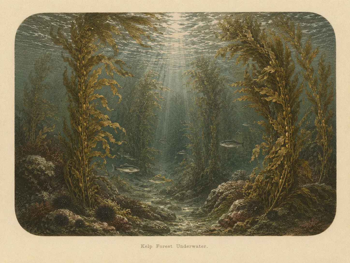
Kelp Forest
The kelp forest biome is giant kelp anchored to rocky bottom and growing up through the water column. The canopy and stipes form a three-dimensional habitat that shelters fish, invertebrates, and the predators that hunt them. Learn more about this biome and the species found in it by clicking the link below.
Learn more in the Biome GlossaryTarget Fish Species
Nearby beaches
Gain the Power
of the Oracle.
Ocean Oracle sees the future. Get 7-day visibility forecasts for every beach, plus alerts the night before clarity peaks — so you never miss a prime day.
Free shows you what the ocean looks like today. Ocean Oracle shows you the week ahead and the fish waiting for you down there.
Visibility predictions for the entire week ahead at any beach. Plan dives, schedule charters, book trips — without guessing.
The night before any beach hits prime conditions, Ocean Oracle pings your phone. Wake up knowing exactly where to go.
Track your favorite beaches in one place. Forecasts and alerts for everywhere you dive.
For every beach: what species are there, when they show up, and how to target them. Built by spearos, for spearos.
See the future. Dive on the right days.