
Leadbetter Beach
Santa Barbara · Santa Barbara County · California

Did you dive today?Please share the visibility to make our algorithm more accurate.
Report visibilityToday's forecast
Updated 10:00 AM PT today · July 28, 2026Dawn is the clearest window — onshore wind picks up by late morning and surface chop stirs the bottom through the afternoon.
7-Day Forecast
Map · getting there
34.402° N · 119.694° W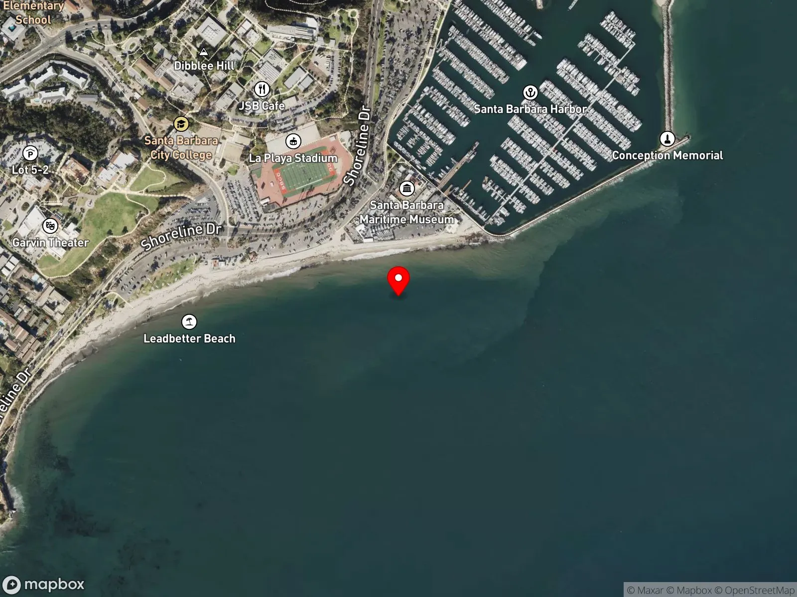
About Leadbetter Beach
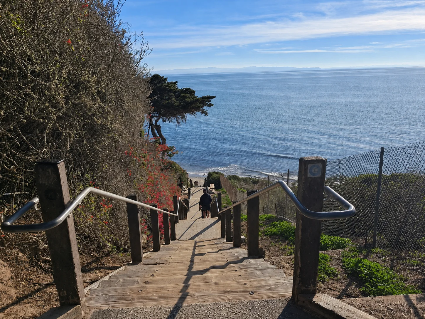
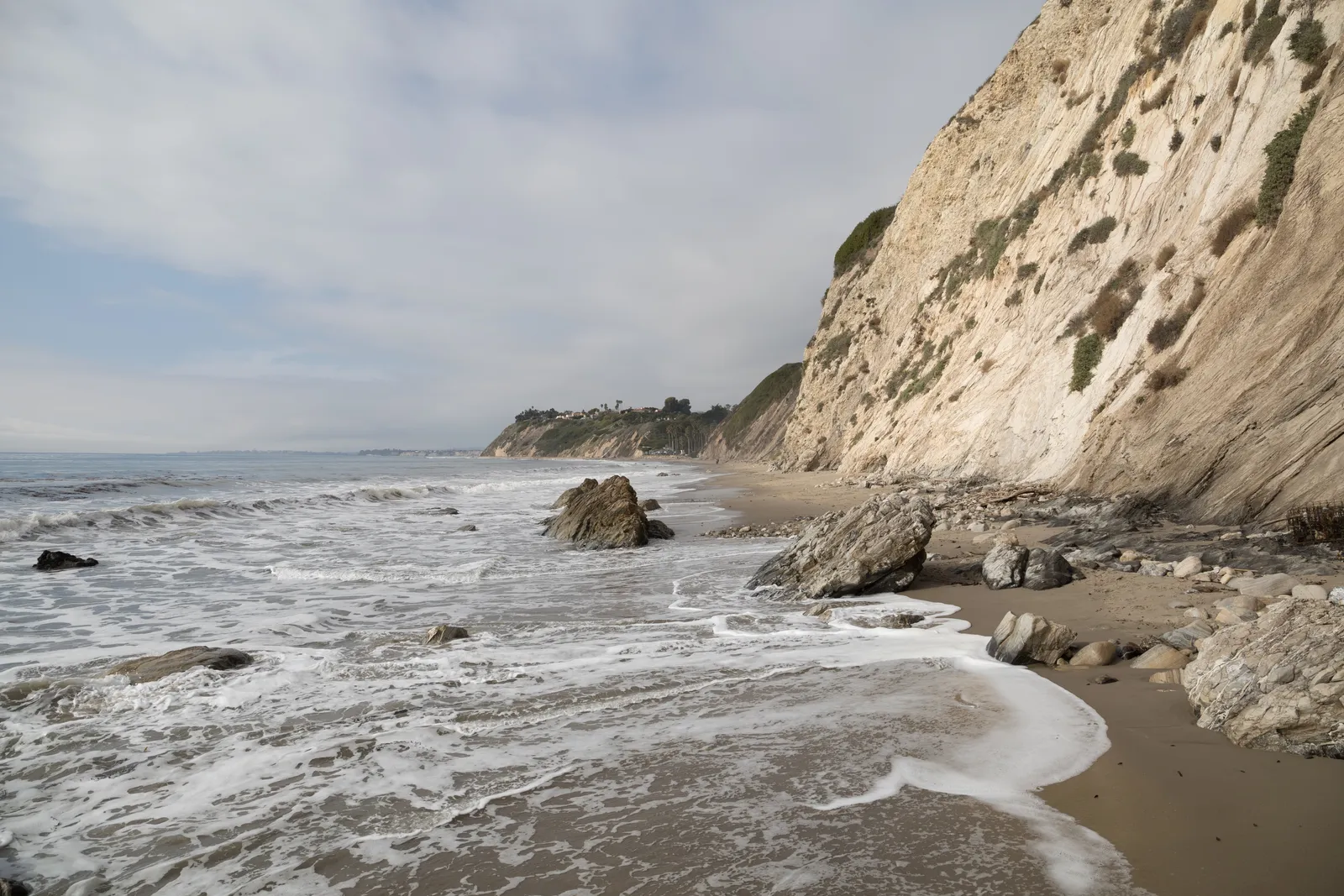
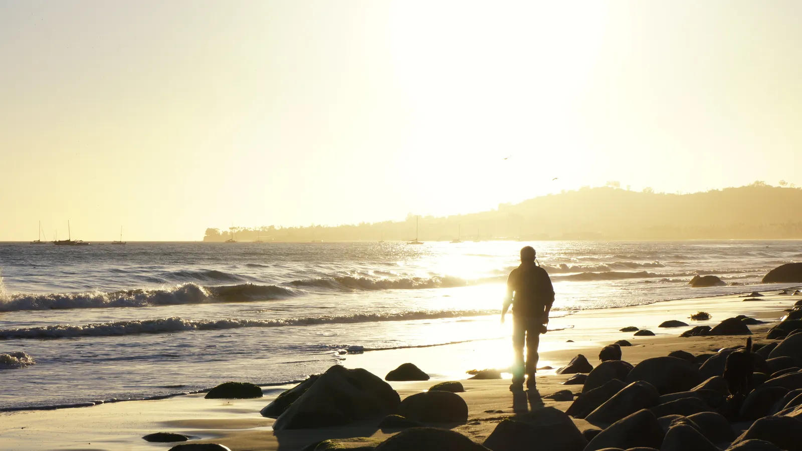
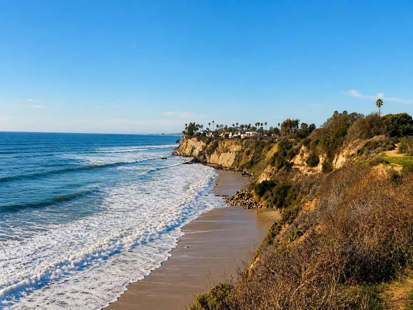
Leadbetter Beach sits at the west end of Santa Barbara Harbor, between the harbor mouth and Shoreline Park. A grassy lawn runs above the sand, with picnic tables and a beachfront restaurant, and the waterfront bike path passes through on its way to Stearns Wharf and East Beach. The defining feature is the small point at the western edge of the cove. The point catches the prevailing northwest swell and bends it into the sand at an angle, so the waves lose most of their push by the time they break. The result is a slow, crumbling, longboard-friendly wave, and the only beginner-friendly point break in Santa Barbara. Surf schools work the cove heavily, and weekend mornings fill with first-timers.
The sandy bottom and breaking surf make this a surf zone biome, softened on its west side by the point.
Parking is the paid lot at Cabrillo Boulevard and Shoreline Drive, $2.50 per hour up to a $15 daily maximum, 8 a.m. to 10 p.m., with a handful of 90-minute free spaces that turn over fast. Fishing and spearfishing are legal under standard California regulations, though the surf-school traffic and the harbor mouth next door make spearfishing impractical.

Surf Zone
The surf zone biome consists of sandy beaches and breaking waves. The action of surf disturbing the sand and kicking it up exposes marine invertebrates, buried in their shallow dens. This natural exposure of invertebrates attracts all kinds of fish, looking for an easy meal. Learn more about this biome and the species found in it by clicking the link below.
Learn more in the Biome GlossaryTarget Fish Species
Nearby beaches
Gain the Power
of the Oracle.
Ocean Oracle sees the future. Get 7-day visibility forecasts for every beach, plus alerts the night before clarity peaks — so you never miss a prime day.
Free shows you what the ocean looks like today. Ocean Oracle shows you the week ahead and the fish waiting for you down there.
Visibility predictions for the entire week ahead at any beach. Plan dives, schedule charters, book trips — without guessing.
The night before any beach hits prime conditions, Ocean Oracle pings your phone. Wake up knowing exactly where to go.
Track your favorite beaches in one place. Forecasts and alerts for everywhere you dive.
For every beach: what species are there, when they show up, and how to target them. Built by spearos, for spearos.
See the future. Dive on the right days.