
Loon Point Beach
Santa Barbara · Santa Barbara County · California

Did you dive today?Please share the visibility to make our algorithm more accurate.
Report visibilityToday's forecast
Updated 10:00 AM PT today · July 28, 2026Dawn is the clearest window — onshore wind picks up by late morning and surface chop stirs the bottom through the afternoon.
7-Day Forecast
Map · getting there
34.413° N · 119.578° W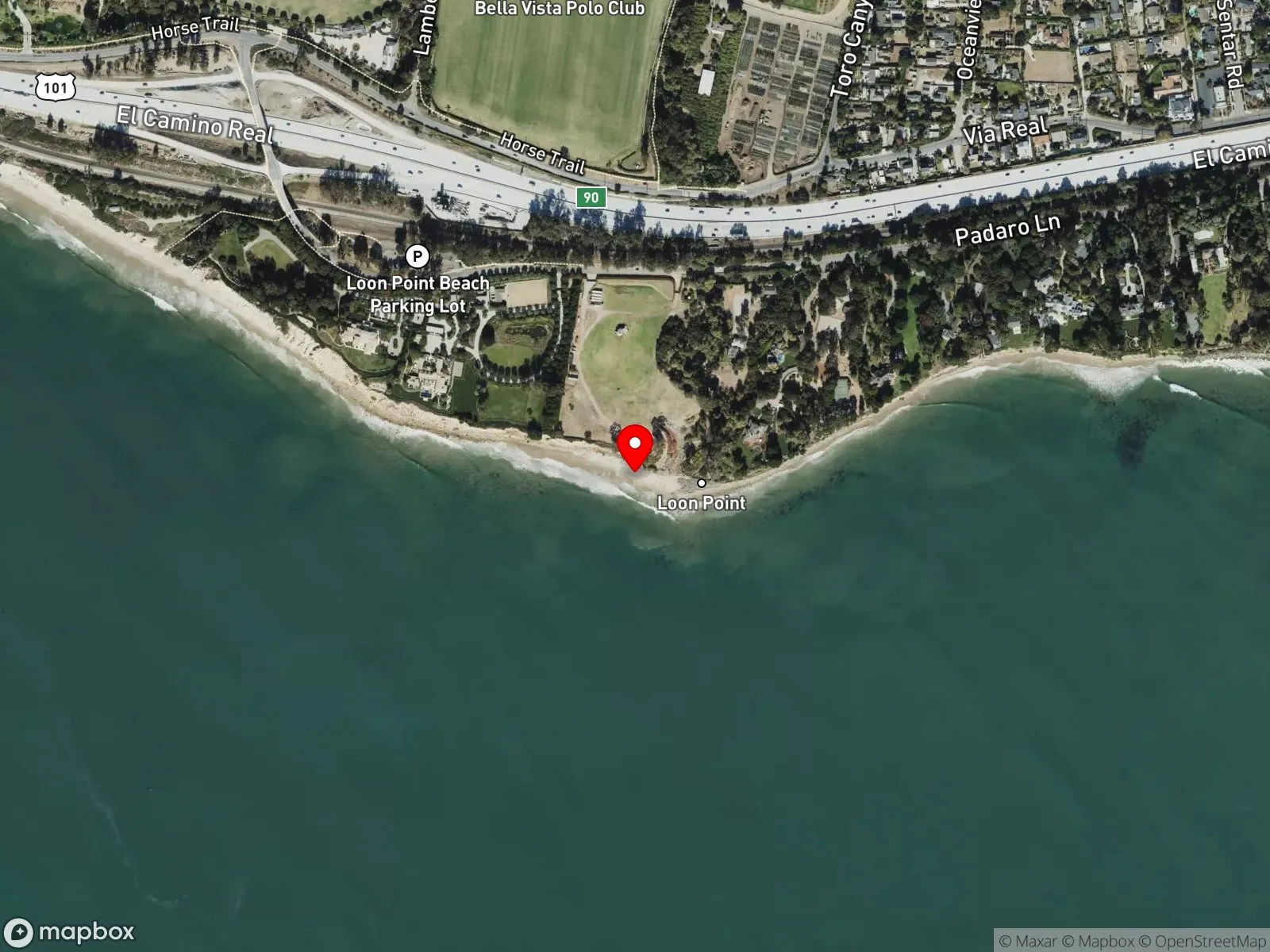
About Loon Point Beach
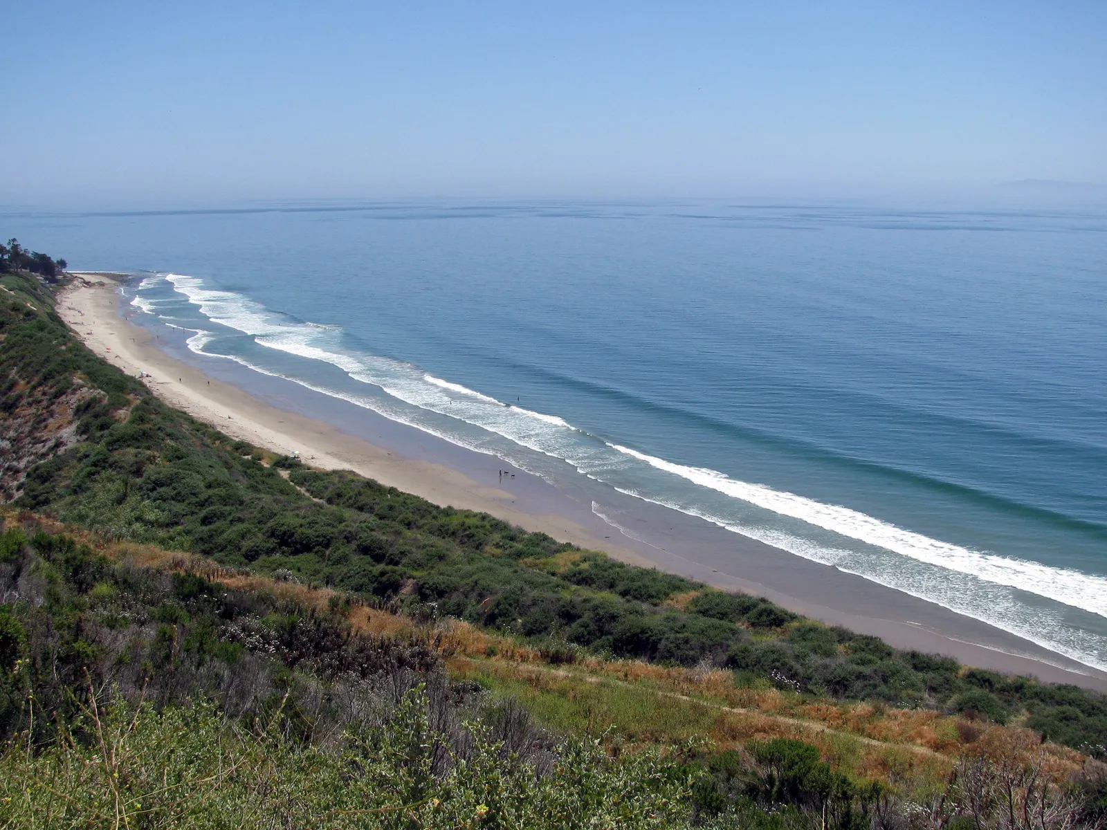
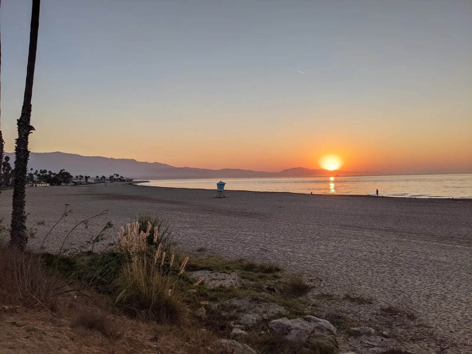
Loon Point Beach sits along the South Coast just east of Summerland, reached from a free dirt lot at the far west end of Padaro Lane off Exit 90 from Highway 101. The walk in runs about a thousand feet along the railroad tracks, under an overpass, and down a ramp to the sand. Facilities are limited to portable toilets. The point itself juts west of the access ramp, with tide pools exposed at low tide along its base. A right break sits east of the point and is more often paddled out from the south side at Santa Claus Beach. Loon Point Beach is also one of the few South Coast beaches where horseback riding on the sand is permitted.
The sandy, wave-exposed shoreline on either side of the point makes this a surf zone biome.
Surfing happens at the right break east of the point. A few people fish and swim, while spearfishing and snorkeling are uncommon and scuba diving is not reported here.
The Mishopshno State Marine Conservation Area now covers this stretch of coast, so confirm the current take rules before fishing or spearfishing here.

Surf Zone
The surf zone biome consists of sandy beaches and breaking waves. The action of surf disturbing the sand and kicking it up exposes marine invertebrates, buried in their shallow dens. This natural exposure of invertebrates attracts all kinds of fish, looking for an easy meal. Learn more about this biome and the species found in it by clicking the link below.
Learn more in the Biome GlossaryTarget Fish Species
Nearby beaches
Gain the Power
of the Oracle.
Ocean Oracle sees the future. Get 7-day visibility forecasts for every beach, plus alerts the night before clarity peaks — so you never miss a prime day.
Free shows you what the ocean looks like today. Ocean Oracle shows you the week ahead and the fish waiting for you down there.
Visibility predictions for the entire week ahead at any beach. Plan dives, schedule charters, book trips — without guessing.
The night before any beach hits prime conditions, Ocean Oracle pings your phone. Wake up knowing exactly where to go.
Track your favorite beaches in one place. Forecasts and alerts for everywhere you dive.
For every beach: what species are there, when they show up, and how to target them. Built by spearos, for spearos.
See the future. Dive on the right days.