
Rincon Point
Santa Barbara · Santa Barbara County · California

Did you dive today?Please share the visibility to make our algorithm more accurate.
Report visibilityToday's forecast
Updated 10:00 AM PT today · July 28, 2026Dawn is the clearest window — onshore wind picks up by late morning and surface chop stirs the bottom through the afternoon.
7-Day Forecast
Map · getting there
34.378° N · 119.482° W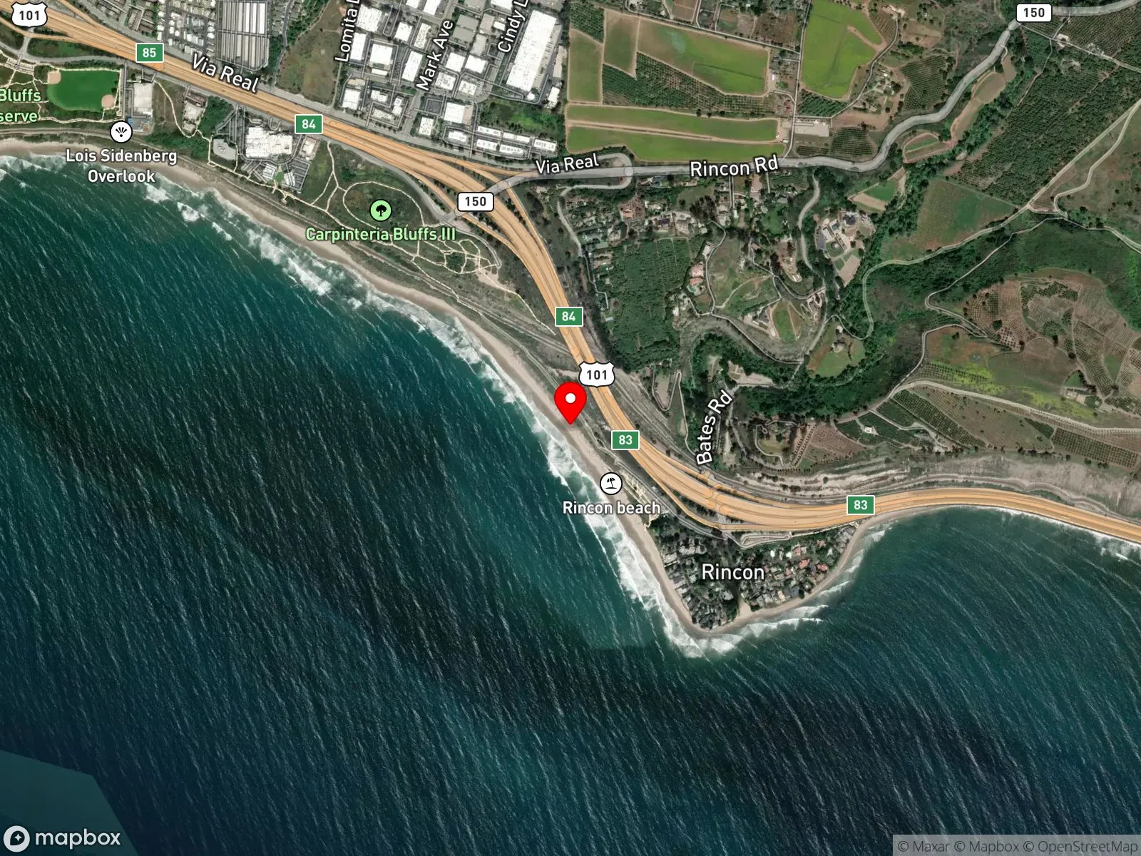
About Rincon Point
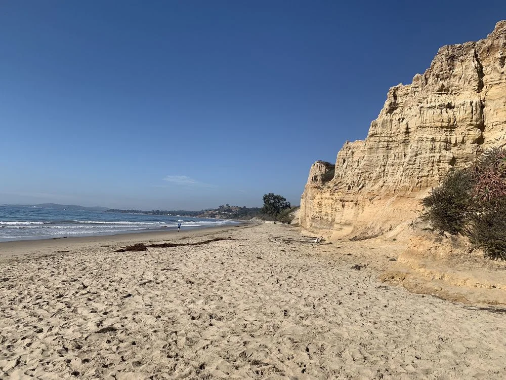
Rincon Point sits on the Santa Barbara and Ventura County line, where Rincon Creek meets a cobble shoreline and a shallow rocky point that drops gradually through an exposed surf zone. The cobble bottom and breaking waves make it a surf zone biome.
Rincon Point is one of California's well-known surf breaks, with three named sections: the Cove, the Rivermouth, and the Indicator. Surfing is by far the most common activity, while some people fish from the cobble shoreline and a few spearos work the point. The low relief inshore keeps spearfishing uncommon, and snorkeling and scuba diving are not reported here.
Two free public lots sit at the Bates Road exit off Highway 101. The upper lot is Rincon Beach Park on the Santa Barbara County side, with restrooms; the lower lot is on the Ventura County side. Both fill before sunrise on a real swell. Fishing and spearfishing are legal under standard California regulations.

Surf Zone
The surf zone biome consists of sandy beaches and breaking waves. The action of surf disturbing the sand and kicking it up exposes marine invertebrates, buried in their shallow dens. This natural exposure of invertebrates attracts all kinds of fish, looking for an easy meal. Learn more about this biome and the species found in it by clicking the link below.
Learn more in the Biome GlossaryTarget Fish Species
Nearby beaches

Gain the Power
of the Oracle.
Ocean Oracle sees the future. Get 7-day visibility forecasts for every beach, plus alerts the night before clarity peaks — so you never miss a prime day.
Free shows you what the ocean looks like today. Ocean Oracle shows you the week ahead and the fish waiting for you down there.
Visibility predictions for the entire week ahead at any beach. Plan dives, schedule charters, book trips — without guessing.
The night before any beach hits prime conditions, Ocean Oracle pings your phone. Wake up knowing exactly where to go.
Track your favorite beaches in one place. Forecasts and alerts for everywhere you dive.
For every beach: what species are there, when they show up, and how to target them. Built by spearos, for spearos.
See the future. Dive on the right days.