Nautical Nick logo
NauticalNickVisibility Report
Home/Locations/California/San Diego/Del Mar City Beach

Del Mar City Beach

Del Mar · San Diego County · California

Estimated from today’s Scripps cam readings · not a forecast

Visibility Breakdown

Updated through the day · times PT
Last reading 5:01 PM
16
7a
10
9a
16
10a
16
11a
10
1p
9
3p
8
5p

Scripps Pier cam readings translated to this spot's Post Break zone · latest cam read 13 ft

Visibility by position
Cross-section from the sand out to open water, split into 3 visibility zones: Break Zone (0-50 ft from shore), Post Break (50-200 ft from shore), Open Water (200+ ft from shore).
Shore
Break Zone
0-50 ft from shore
Post Break
50-200 ft from shore
Open Water
200+ ft from shore

Break Zone: The range of water where the waves break and sediment is stirred up.

Post Break: The range past where any waves are forming, where the water starts to have a significant increase in visibility. There might be some sediment here, but swell energy is diffused and the water is calmer.

Open Water: This zone is far out enough from the shore that the water is at its clearest. It’s deep enough that sediment is not disturbed by the wave energy at the surface.

Break Zone
4ft
est. from reviewed cam reading
Post Break
headline zone
8ft
est. from reviewed cam reading
Open Water
10ft
est. from reviewed cam reading

Solid = measured by a diver · outlined = estimated from the Scripps cam

Did you dive today?Please share the visibility to make our algorithm more accurate.

Report visibility

Entry type
Shore
Parking
Metered street + lots
Spearfishing
Legal
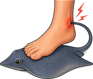
Stingray risk
Medium
Water quality
A+ · tested Aug 21
Difficulty
Beginner
Popular activities
Surf · Swim · Surf fishing

Today's forecast

Estimated from the Scripps cam · reviewed 5:01 PM PT today · September 11, 2026
Predicted visibility
8
ftRange 412
Fair
High confidence
0510152030+ ft
What influences the visibility?
Contributing factors
Moderate phytoplankton
0.82 mg/m³
Moderate impact · Neutral for vis
Moderate swell
2.4 ft
Minor swell · Neutral for vis
Light wind
3 kt
Minor wind · Good for vis
Scripps cam anchor
cam reads 13 ft at the pier
Minor impact · Good for vis
Scripps cam ceiling
cam reads 13 ft at the pier
Minor impact · Bad for vis
Ocean Oracle

7-Day Forecast

Forecasts beyond today are Pro-only
Today · Fri
Sep 11
8 ft
Fair
Dawn is the clearest window — onshore wind kicks up around 11 AM and surface chop stirs the sand bottom by early afternoon.
Sat
Sep 12
14
Good
Ocean Oracle Pro
Sun
Sep 13
9
Fair
Ocean Oracle Pro
Mon
Sep 14
16
Excellent
Ocean Oracle Pro
Tue
Sep 15
19
Excellent
Ocean Oracle Pro
Wed
Sep 16
11
Good
Ocean Oracle Pro
Thu
Sep 17
13
Good
Ocean Oracle Pro
Unlock days 2–7
7-day forecasts come with Ocean Oracle Pro · $5/mo
See the future. Plan out your week.
Get Ocean Oracle →

Map · getting there

32.959° N · 117.269° W
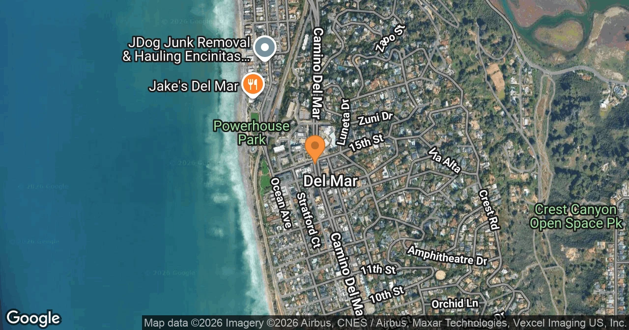
Map of Del Mar City Beach showing Coast Boulevard and the San Dieguito River mouth
Static map
Address
1700 Coast Blvd
Del Mar, CA 92014
32.9591° N, 117.2691° W
Parking
Coast Boulevard metered parking near 15th Street, plus pay lots at 17th Street and at L'Auberge Del Mar on Camino Del Mar. Spaces fill before 11 AM on summer weekends.
Field notes

About Del Mar City Beach

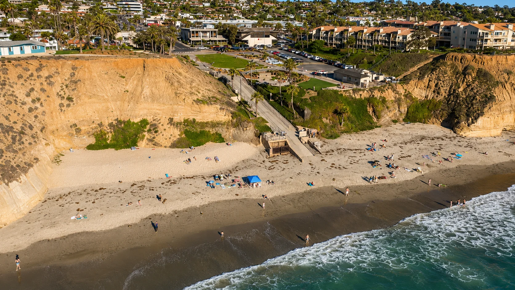
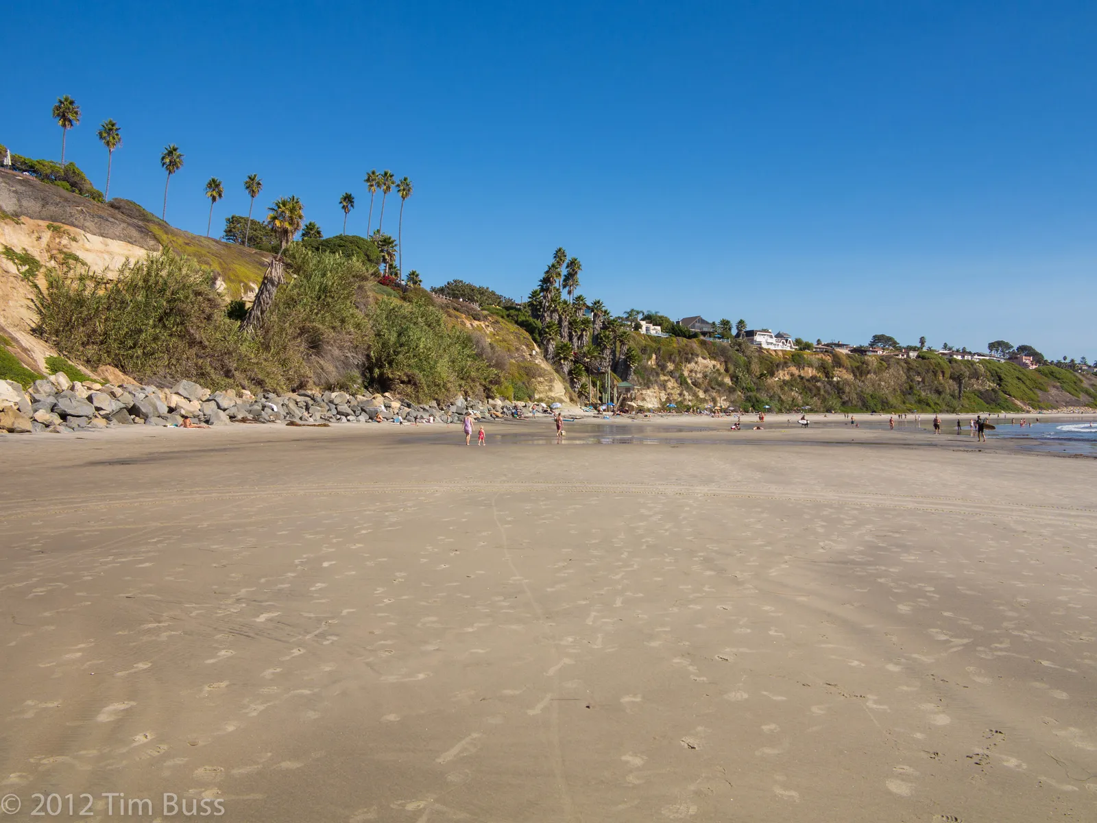
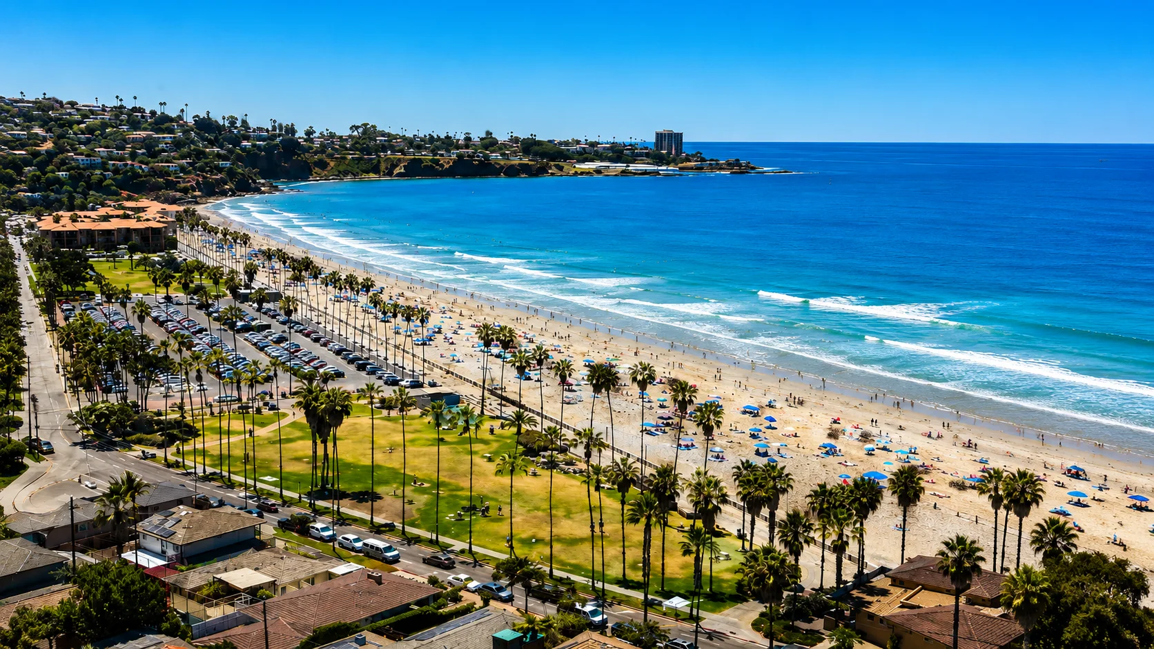
Del Mar City Beach is the main public sand beach of the city of Del Mar in northern San Diego County, running from roughly 15th Street north to the San Dieguito River mouth at Del Mar Dog Beach. It sits below the Coast Boulevard bluff, with stairways at most cross streets giving block-by-block access down to the sand. The L'Auberge Del Mar resort fronts the bluff at 15th Street, and Powerhouse Park sits alongside it at the south end of the beach. From July through September, the Del Mar Race Track's summer season fills both town and beach with race-day visitors.

Sand bottom, breaking surf, and no offshore reef or kelp structure along the named beach place Del Mar City Beach in the surf zone biome. Surfers and swimmers account for most of the use, and hook-and-line surf fishing is common alongside them. With no rocky structure to hold fish, spearfishing, snorkeling, and scuba are all uncommon.

Meters run along Coast Boulevard near 15th Street, with a paid public lot at 17th Street and a second pay lot at L'Auberge Del Mar on Camino Del Mar. Free street spaces line Coast Boulevard from 17th to 22nd and the cross streets from 22nd to 28th. Most spaces fill before 11 a.m. on summer racing-season afternoons, and the free stretch of Camino Del Mar from 22nd to 29th is often the easier alternative nearer the river mouth. Fishing and spearfishing are legal here under standard California regulations.
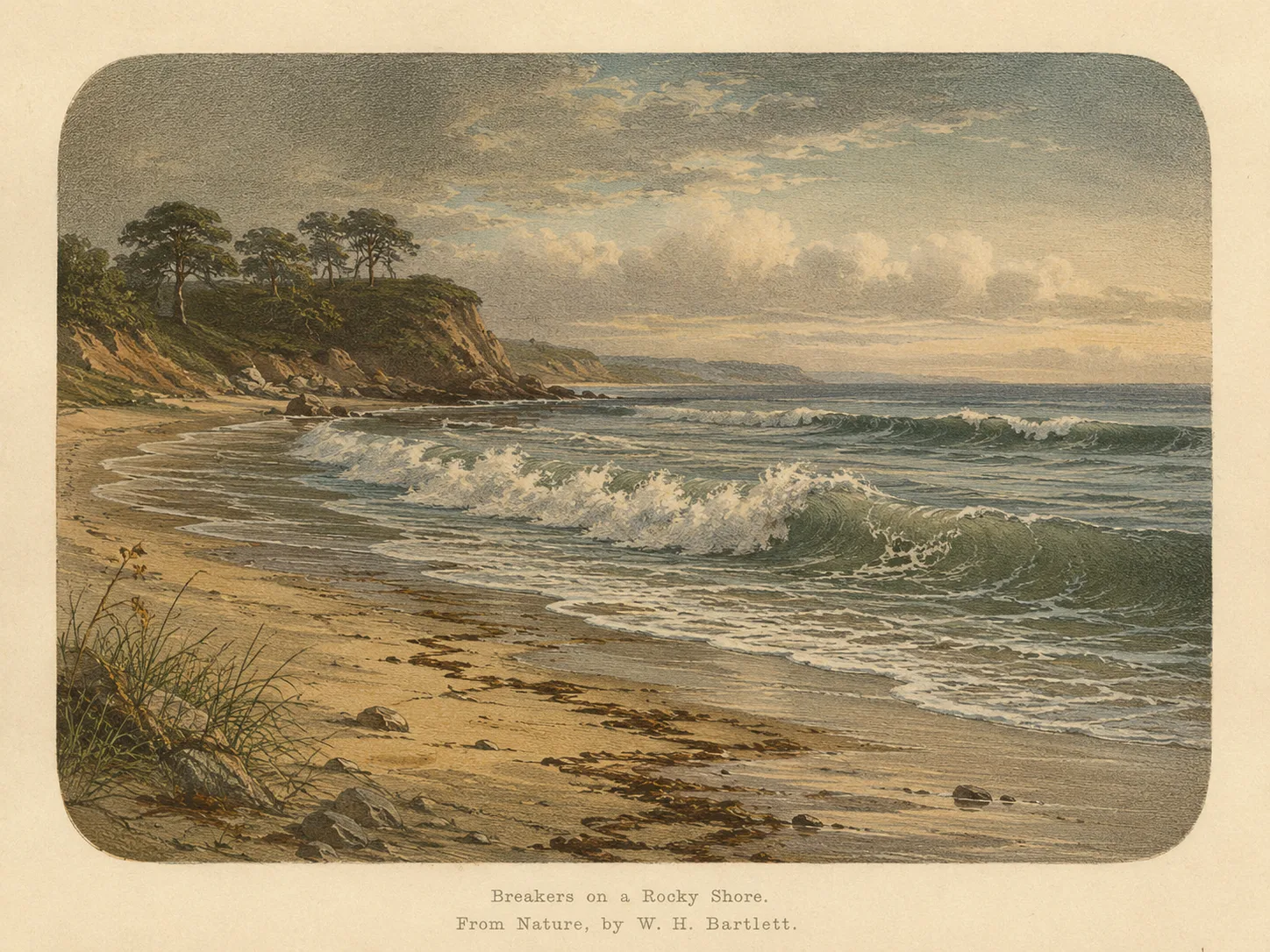
Surf Zone biome illustration
Biome illustration
Biome

Surf Zone

The surf zone biome consists of sandy beaches and breaking waves. The action of surf disturbing the sand and kicking it up exposes marine invertebrates, buried in their shallow dens. This natural exposure of invertebrates attracts all kinds of fish, looking for an easy meal. Learn more about this biome and the species found in it by clicking the link below.

Learn more in the Biome Glossary
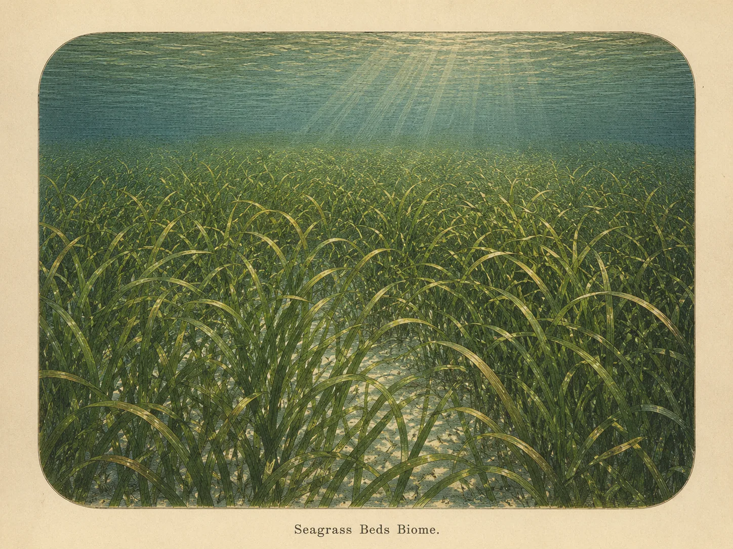
Seagrass Bed biome illustration
Sub-biome illustration
Sub-biome

Seagrass Bed

The seagrass biome is sandy bottom carpeted with eelgrass or surfgrass. The blades shelter juvenile fish and invertebrates and stabilize the sediment against the current. Learn more about this biome and the species found in it by clicking the link below.

Learn more in the Biome Glossary
For spearos · for fishing

Target Fish Species

Ocean Oracle Pro
California Halibut
Active May–Oct · sand bottom
Barred Surf Perch
Year-round · surf line
Yellowfin Croaker
Summer · shallow troughs
Spotfin Croaker
Aug–Oct · post-storm
Corbina
Late spring–summer
Unlock spearfishing intel
Know what's here, when they show up, and how to target them. For Del Mar's sand bottom: halibut, croakers, surfperch — plus depth, season, and bait notes built by spearos, for spearos.
$5/mo · $50/yr
Get Ocean Oracle
From the Nautilids who hunt it

Spot strategies

Ocean Oracle Pro
Unlock spot strategies
How other Nautilids actually hunt Del Mar City Beach: the biome they worked, the gear, the tide and time of day, and what they were after. Post your own and earn XP.
$5/mo · $50/yr
Get Ocean Oracle
Ocean Oracle Pro logoOcean Oracle Pro

Gain the Power
of the Oracle.

Ocean Oracle sees the future. Get 7-day visibility forecasts for every beach, alerts when a prime day is coming, and a dive log that remembers every dive.

Free shows you what the ocean looks like today. Ocean Oracle shows you the week ahead and the fish waiting for you down there.

7-Day Forecasts

Visibility predictions for the entire week ahead at any beach. Plan dives, schedule charters, and book trips without guessing.

Prime-Day Alerts

When a beach on your watchlist is running good water, or the week ahead shows a good day coming, Ocean Oracle emails you. A prime window never slips past.

Dive Log

Every entry freezes that day's report: visibility, tide, swell, wind. Log catches, stamp Personal Bests, level up your guns, and light up your species life list.

Front-Page Oracle

The Coastal Bulletin greets members with the clearest water in Southern California today and their own watchlist, before a single click.

Watchlists

Track your favorite beaches in one place. Forecasts and alerts for everywhere you dive.

Fish Targeting Intel

For every beach: what species are there, when they show up, and how to target them. Built by spearos, for spearos.

Get Ocean Oracle — $5/mo or $50/yr

See the future. Dive on the right days.