
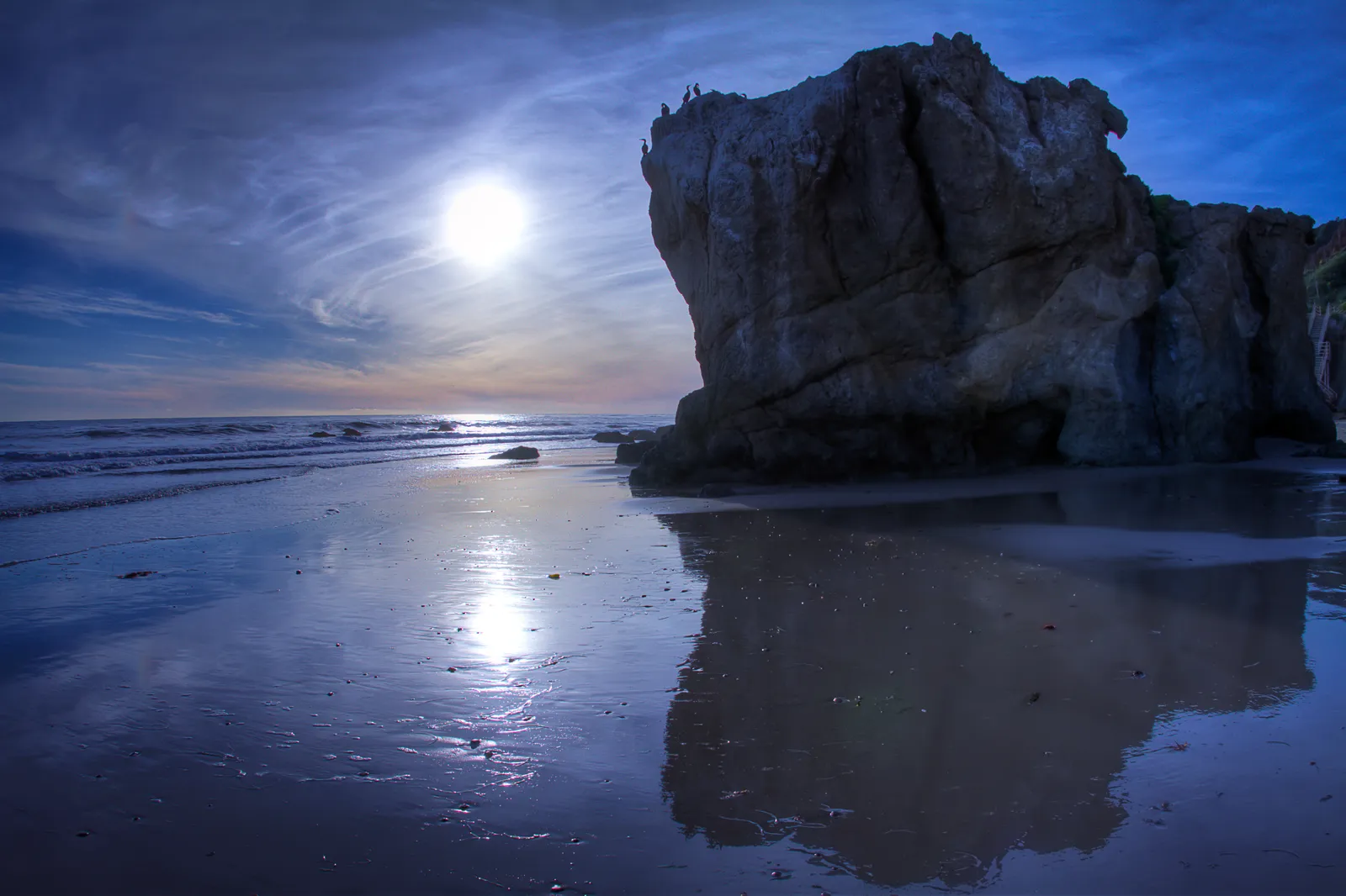
Point Dume State Beach
Malibu · Los Angeles County · California

Did you dive today?Please share the visibility to make our algorithm more accurate.
Report visibilityToday's forecast
Updated 10:00 AM PT today · July 28, 2026Dawn is the clearest window. A late-morning onshore builds surface chop and gives up a few feet by the afternoon.
7-Day Forecast
Map · getting there
34.008° N · 118.823° W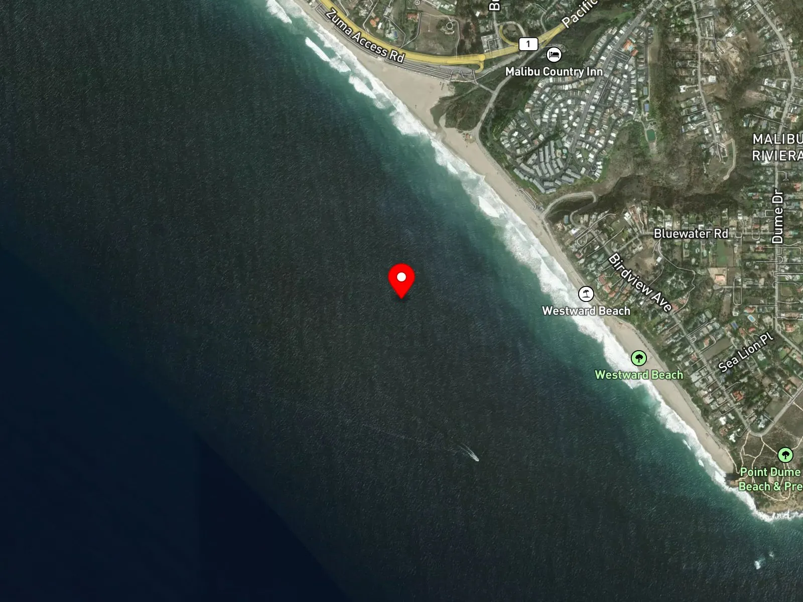
Malibu, CA 90265
About Point Dume State Beach
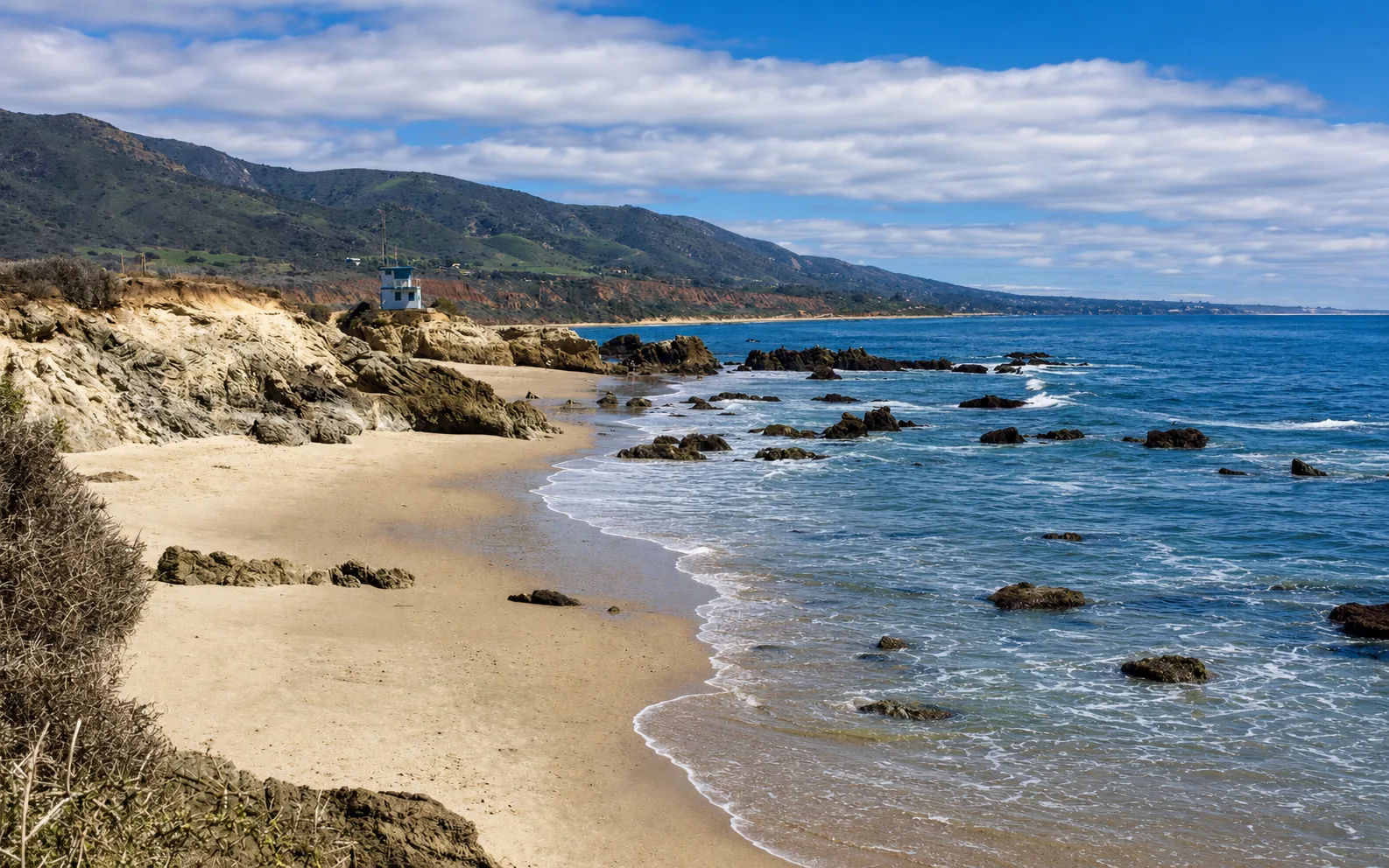
Point Dume State Beach is a state park unit in western Malibu, organized around the Point Dume headland, a sandstone promontory rising roughly 200 feet above the Pacific. Captain George Vancouver named the headland in 1793 after Padre Francisco Dumetz of Mission San Buenaventura. The headland itself, along with its bluff-top trail and lookout, is managed as a Natural Preserve within the state park. West of the headland, Westward Beach is a roughly one-mile sand strip fronting Westward Beach Road and serves as the unit's primary swim and surf zone. East of the headland, Big Dume Cove is a small rocky cove reached by trail from the end of Birdview Avenue, or by scrambling around the base of the point from Westward Beach at low tide. Pirates Cove, at the south end of Westward Beach, is another small cove reached by scrambling over boulders. The tip of the headland sits at roughly -118.820 W longitude, and that line divides the two marine protected areas covering the unit.
The sandy bottom and breaking surf at Westward Beach make this a surf zone biome along the open shoreline. Cobble, boulder, and sandstone substrate around the base of the headland and inside Big Dume Cove forms a rocky reef biome on both sides of the point. Offshore, giant kelp anchored on rocky bottom puts a kelp forest biome within a short swim of either Westward Beach or Big Dume Cove.
Two state marine protected areas straddle the headland, and the rules differ on each side. Westward Beach and the water west of the headland sit inside the Point Dume State Marine Conservation Area, where all take is prohibited except recreational spearfishing for white seabass and pelagic finfish. Big Dume Cove and the water east of the headland sit inside the Point Dume State Marine Reserve, where take of all living marine resources is prohibited. Swimming at Westward Beach and snorkeling around the headland are common, and wildlife viewing is active year-round, with gray whales reported during the winter migration and pinnipeds on the rocks at the headland. Surfers use Westward Beach, but hook-and-line fishing and scuba are uncommon. Spearfishing for white seabass and pelagic finfish is legal on the SMCA side only.
Parking is the paid state-park lot off Westward Beach Road, accessed from Pacific Coast Highway, with a day-use fee. The lot fills on summer weekends, on holidays, and on winter days when whale watching is active. Limited free shoulder parking is available along Westward Beach Road.

Surf Zone
The surf zone biome consists of sandy beaches and breaking waves. The action of surf disturbing the sand and kicking it up exposes marine invertebrates, buried in their shallow dens. This natural exposure of invertebrates attracts all kinds of fish, looking for an easy meal. Learn more about this biome and the species found in it by clicking the link below.
Learn more in the Biome Glossary
Rocky Reef
The rocky reef biome is bare rock, boulder, and cobble structure without a kelp canopy above it. The hard relief and its crevices shelter invertebrates and reef fish, and the structure concentrates life that the surrounding sand cannot hold. Learn more about this biome and the species found in it by clicking the link below.
Learn more in the Biome Glossary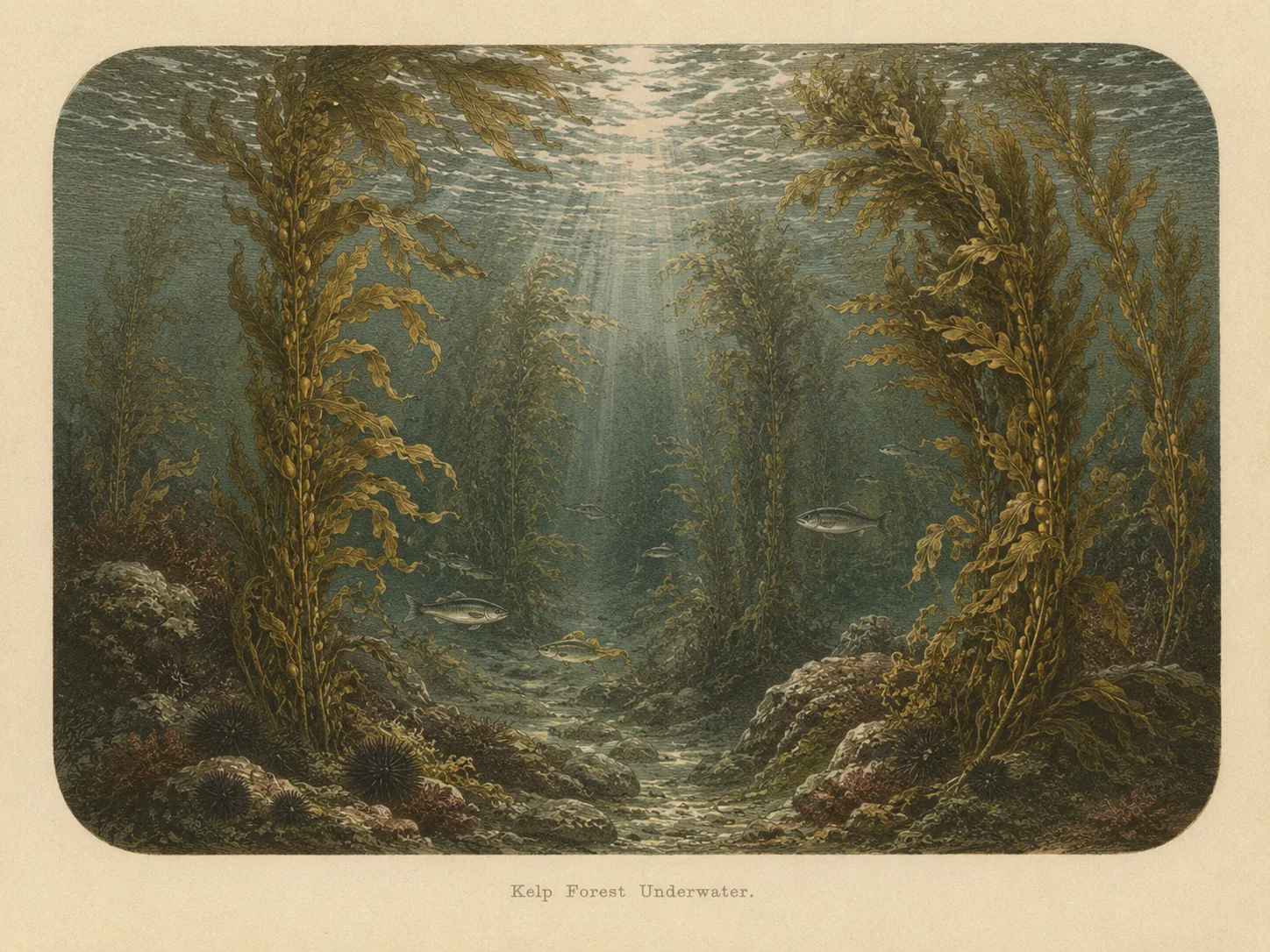
Kelp Forest
The kelp forest biome is giant kelp anchored to rocky bottom and growing up through the water column. The canopy and stipes form a three-dimensional habitat that shelters fish, invertebrates, and the predators that hunt them. Learn more about this biome and the species found in it by clicking the link below.
Learn more in the Biome GlossarySnorkel Species Report
Nearby beaches

Gain the Power
of the Oracle.
Ocean Oracle sees the future. Get 7-day visibility forecasts for every beach, plus alerts the night before clarity peaks — so you never miss a prime day.
Free shows you what the ocean looks like today. Ocean Oracle shows you the week ahead and the fish waiting for you down there.
Visibility predictions for the entire week ahead at any beach. Plan dives, schedule charters, book trips — without guessing.
The night before any beach hits prime conditions, Ocean Oracle pings your phone. Wake up knowing exactly where to go.
Track your favorite beaches in one place. Forecasts and alerts for everywhere you dive.
For every beach: what species are there, when they show up, and how to target them. Built by spearos, for spearos.
See the future. Dive on the right days.