
Malibu Lagoon State Beach
Malibu · Los Angeles County · California

Did you dive today?Please share the visibility to make our algorithm more accurate.
Report visibilityToday's forecast
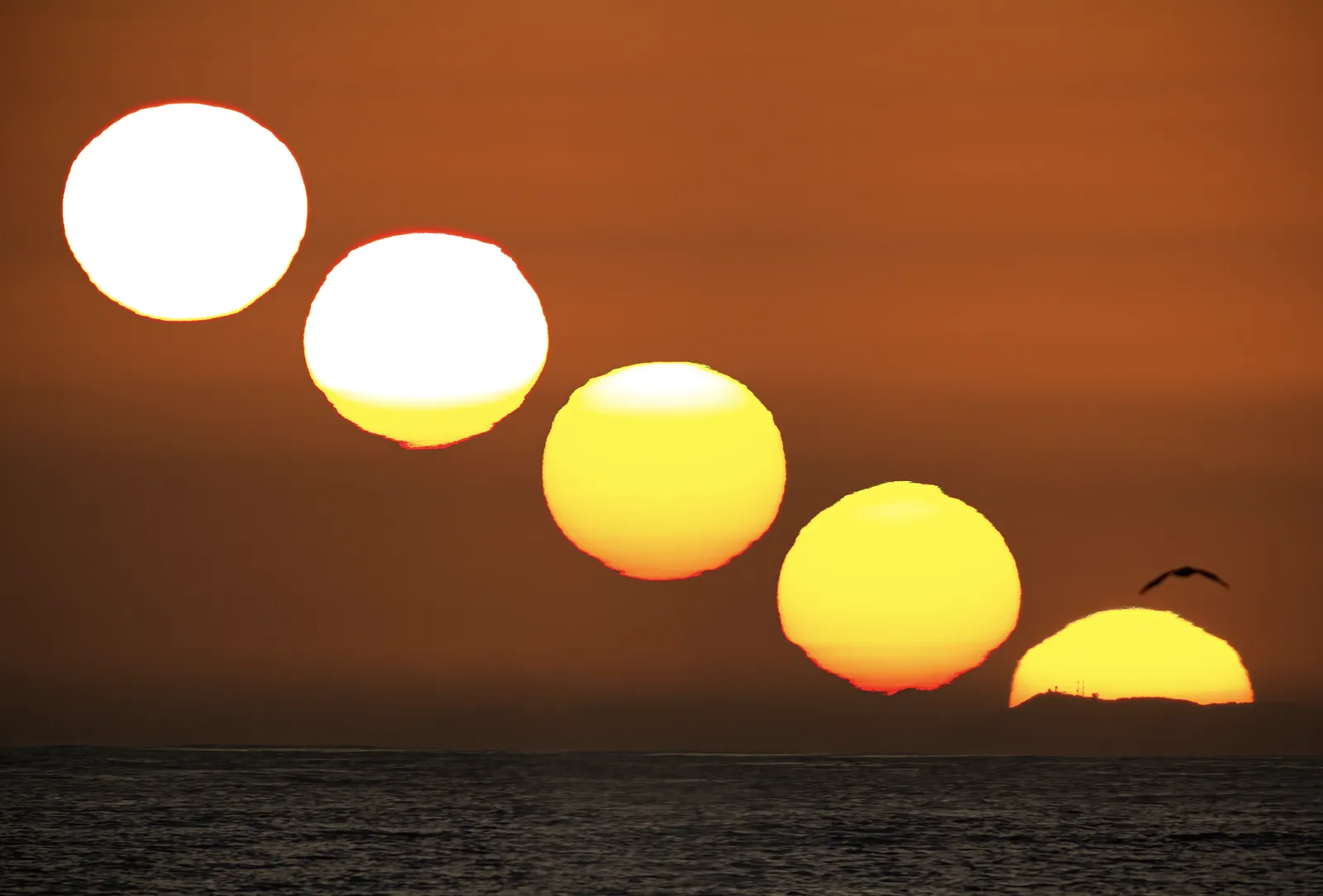
Updated 10:00 AM PT today · July 28, 2026Dawn is the clearest window — onshore wind picks up by late morning and surface chop stirs the bottom through the afternoon.
7-Day Forecast
Map · getting there
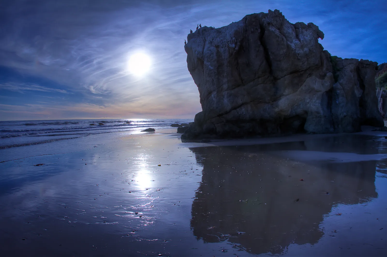
34.036° N · 118.676° W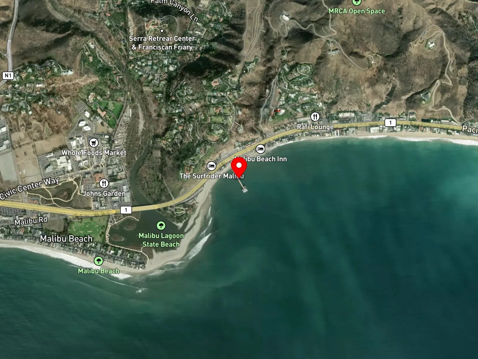
Malibu, CA 90265
About Malibu Lagoon State Beach
Malibu Lagoon State Beach is a California State Park unit on the north shore of Santa Monica Bay, gathered around three connected features: the brackish Malibu Lagoon at the mouth of Malibu Creek, the surf break known as Surfrider Beach immediately east of the lagoon mouth, and Malibu Pier. The pier is a wooden public pier roughly 780 feet long, originally built in 1905 by Frederick Hastings Rindge for the Rindge family ranch and opened to the public in 1934. It is registered as California Historical Landmark No. 1018 at 23000 Pacific Coast Highway. On the bluff just west of the lagoon, the Adamson House, a 1929 Spanish Colonial Revival mansion finished with Malibu Potteries tile, operates as a state historic park alongside the Malibu Lagoon Museum. Surfrider Beach was designated the first World Surfing Reserve by the Save The Waves Coalition in October 2010.
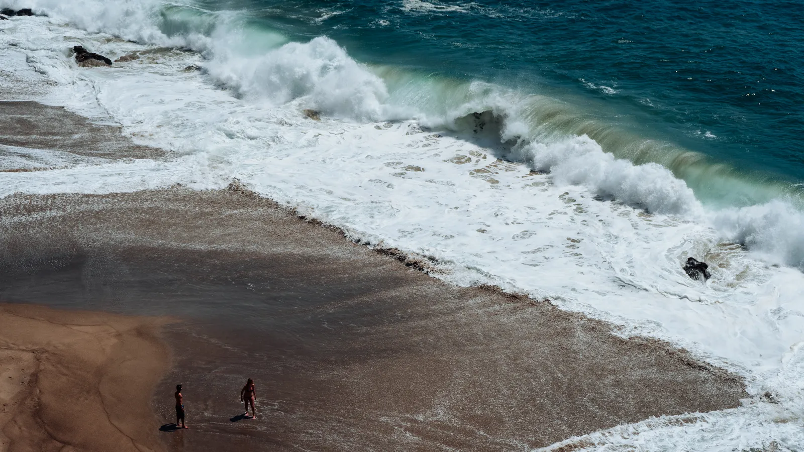
The bottom at the surf break is sand and cobble, fed by sediment carried out of Malibu Creek, and the breaking waves there make the entry a surf zone biome. The pier pilings and a string of low rocky outcrops west of the pier toward Carbon Beach add a rocky reef biome within a short swim of the sand. No offshore kelp forest is documented along this stretch of coast.
Surfing dominates the water use. Right-handers up to 300 yards long form on a south swell and break across three sections known locally as First Point, Second Point, and Third Point, First Point being the one closest to the lagoon mouth. Swimming on the sand east and west of the pier is common, and pier and shore fishing are both common as well. Snorkeling and scuba are uncommon because rocky structure is limited and the surf break dominates the water adjacent to the pier.
The Malibu Lagoon State Beach lot off Cross Creek Road takes paid parking at hourly rates during the day. Free shoulder parking on Pacific Coast Highway near the pier is often full by 9 a.m. on summer weekends, and pier-side parking is metered. Fishing is legal under standard California regulations. Spearfishing is prohibited within 1,000 feet of Malibu Pier per California Code of Regulations Title 14 § 1.88. Outside that radius, spearfishing is legal under standard California regulations.

Surf Zone
The surf zone biome consists of sandy beaches and breaking waves. The action of surf disturbing the sand and kicking it up exposes marine invertebrates, buried in their shallow dens. This natural exposure of invertebrates attracts all kinds of fish, looking for an easy meal. Learn more about this biome and the species found in it by clicking the link below.
Learn more in the Biome Glossary
Rocky Reef
The rocky reef biome is bare rock, boulder, and cobble structure without a kelp canopy above it. The hard relief and its crevices shelter invertebrates and reef fish, and the structure concentrates life that the surrounding sand cannot hold. Learn more about this biome and the species found in it by clicking the link below.
Learn more in the Biome GlossaryTarget Fish Species
Nearby beaches
Gain the Power
of the Oracle.
Ocean Oracle sees the future. Get 7-day visibility forecasts for every beach, plus alerts the night before clarity peaks — so you never miss a prime day.
Free shows you what the ocean looks like today. Ocean Oracle shows you the week ahead and the fish waiting for you down there.
Visibility predictions for the entire week ahead at any beach. Plan dives, schedule charters, book trips — without guessing.
The night before any beach hits prime conditions, Ocean Oracle pings your phone. Wake up knowing exactly where to go.
Track your favorite beaches in one place. Forecasts and alerts for everywhere you dive.
For every beach: what species are there, when they show up, and how to target them. Built by spearos, for spearos.
See the future. Dive on the right days.