
Zuma Beach
Malibu · Los Angeles County · California

Did you dive today?Please share the visibility to make our algorithm more accurate.
Report visibilityToday's forecast
Updated 10:00 AM PT today · July 28, 2026Dawn is the clearest window — onshore wind picks up by late morning and surface chop stirs the bottom through the afternoon.
7-Day Forecast
Map · getting there
34.016° N · 118.819° W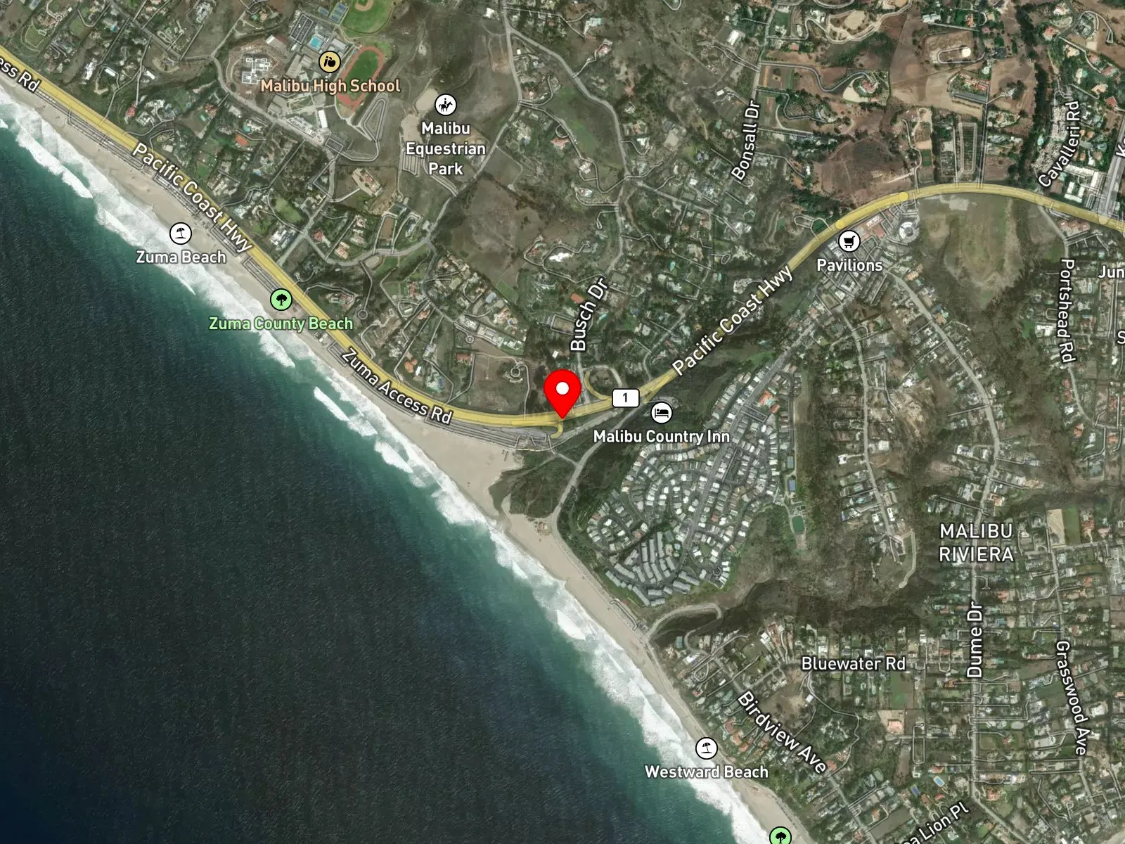
Malibu, CA 90265
About Zuma Beach
Zuma Beach is a two-mile sand strip in northern Malibu, fronting Pacific Coast Highway. Its northern boundary is the mouth of Trancas Creek, just south of Broad Beach, and its southern boundary is Westward Beach, the western component of Point Dume State Beach. Twelve Los Angeles County parking lots, managed by LA County Beaches and Harbors, run the full length of the shoreline along Pacific Coast Highway. Zuma has served as a filming location for productions including the television series Baywatch and the 1978 made-for-television film Zuma Beach.
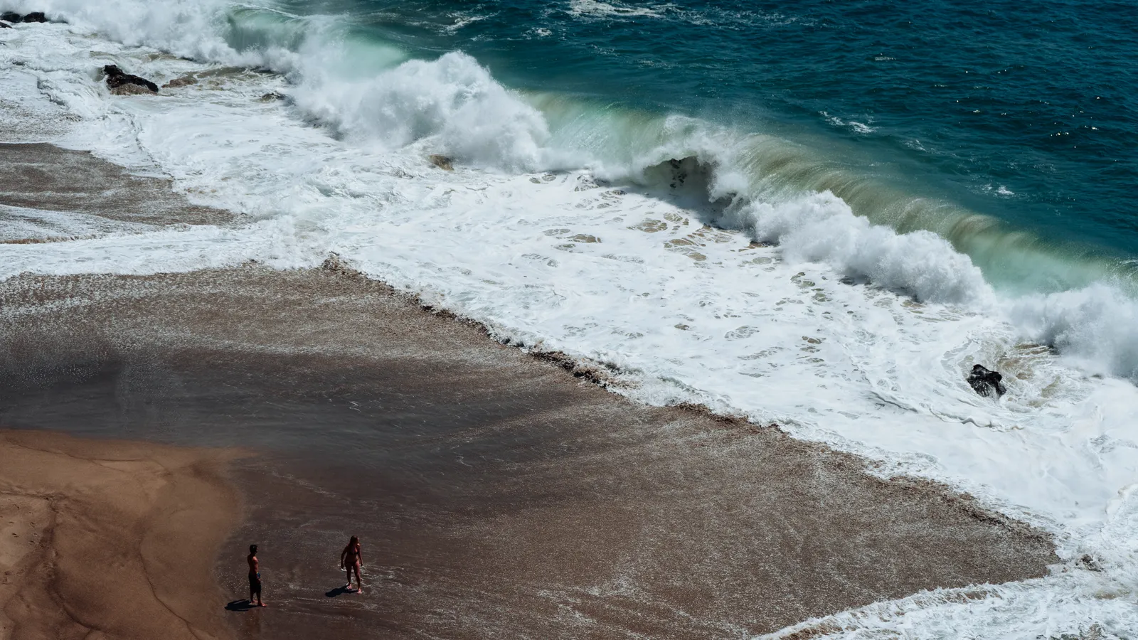
The bottom is sand throughout, with consistent breaking surf and no rocky reef or kelp within shore-access range. The spot is a surf zone biome.
Surfing and swimming are the primary uses, with multiple breaks distributed along the two-mile sand strip. Shore fishing is common. There is no pier at Zuma itself, and the nearest one is Malibu Pier roughly eight miles to the east. With no rocky structure or kelp to hold fish, spearfishing, snorkeling, and scuba from shore are all uncommon. At the south end, sandbar formations at Westward Beach produce a heavy shorebreak distinct from the longer breaks along the main stretch of Zuma. After winter rain, runoff from the Trancas Creek mouth at the north end can degrade water quality for several days.
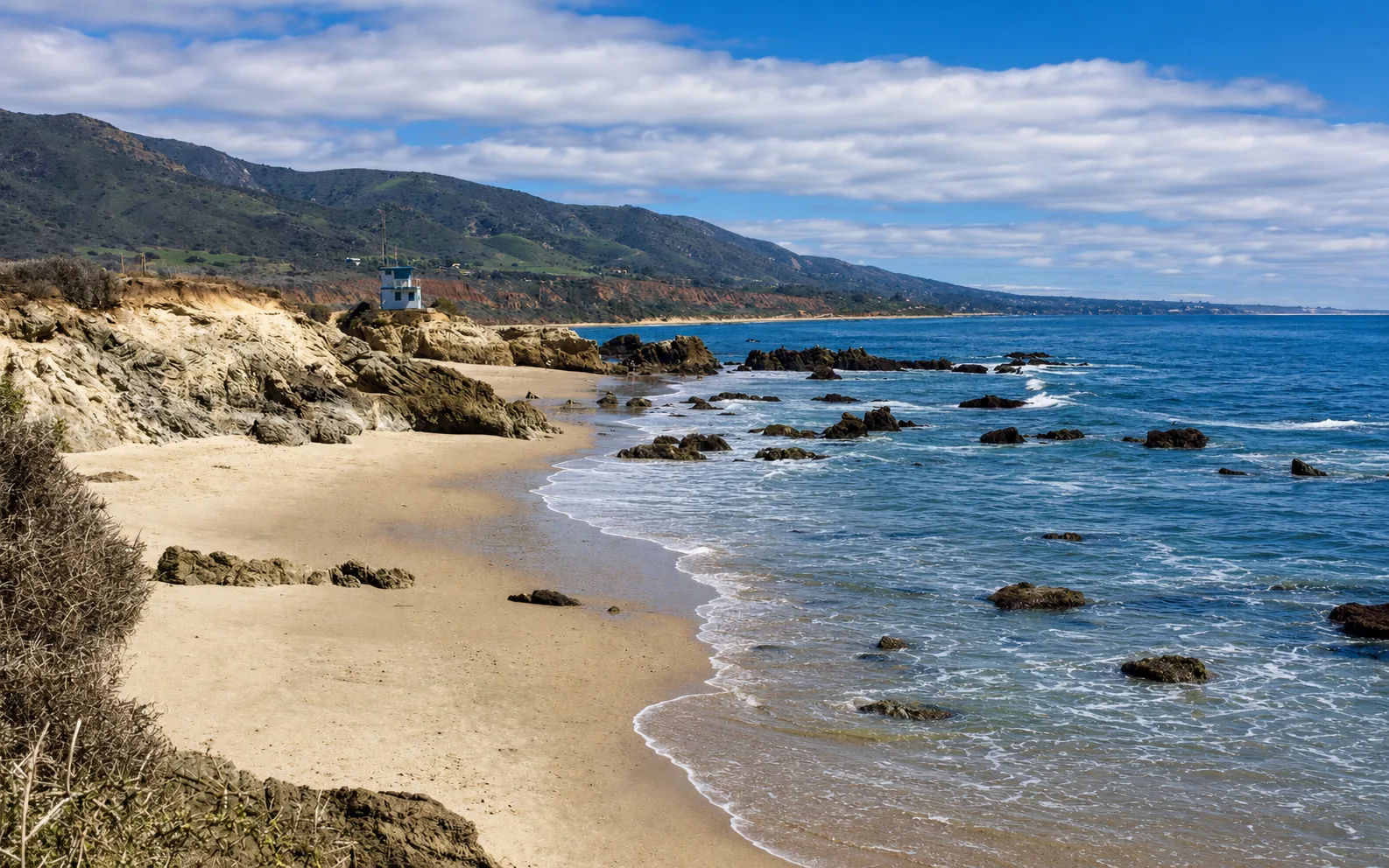
The twelve paid lots run along the two-mile shoreline and hold more than 2,000 spaces total, with fees ranging from $3 to $15 in summer and $3 to $8 in winter, so they rarely fill outside major holiday weekends. Shoulder parking on Pacific Coast Highway is unsafe and is not a practical alternative. The central beach pin sits outside both the Point Dume State Marine Reserve and the Point Dume State Marine Conservation Area, and fishing and spearfishing are legal under standard California regulations. The southern end transitions into Westward Beach and Point Dume State Beach, which fall within the Point Dume MPA system and are covered as a separate spot.

Surf Zone
The surf zone biome consists of sandy beaches and breaking waves. The action of surf disturbing the sand and kicking it up exposes marine invertebrates, buried in their shallow dens. This natural exposure of invertebrates attracts all kinds of fish, looking for an easy meal. Learn more about this biome and the species found in it by clicking the link below.
Learn more in the Biome GlossaryTarget Fish Species
Nearby beaches
Gain the Power
of the Oracle.
Ocean Oracle sees the future. Get 7-day visibility forecasts for every beach, plus alerts the night before clarity peaks — so you never miss a prime day.
Free shows you what the ocean looks like today. Ocean Oracle shows you the week ahead and the fish waiting for you down there.
Visibility predictions for the entire week ahead at any beach. Plan dives, schedule charters, book trips — without guessing.
The night before any beach hits prime conditions, Ocean Oracle pings your phone. Wake up knowing exactly where to go.
Track your favorite beaches in one place. Forecasts and alerts for everywhere you dive.
For every beach: what species are there, when they show up, and how to target them. Built by spearos, for spearos.
See the future. Dive on the right days.