
Ormond Beach
Oxnard · Ventura County · California

Did you dive today?Please share the visibility to make our algorithm more accurate.
Report visibilityToday's forecast
Updated 10:00 AM PT today · July 28, 2026Dawn is the clearest window — onshore wind picks up by late morning and surface chop stirs the bottom through the afternoon.
7-Day Forecast
Map · getting there
34.137° N · 119.170° W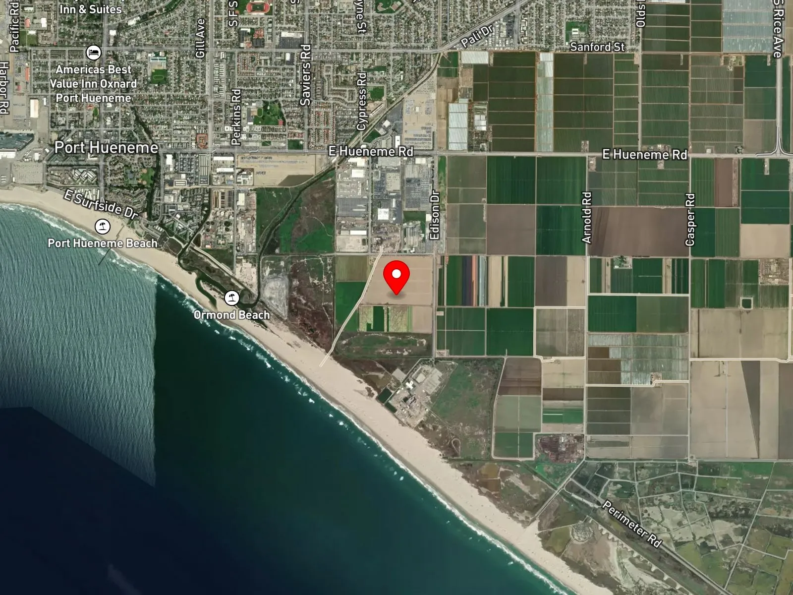
Oxnard, CA 93041
About Ormond Beach
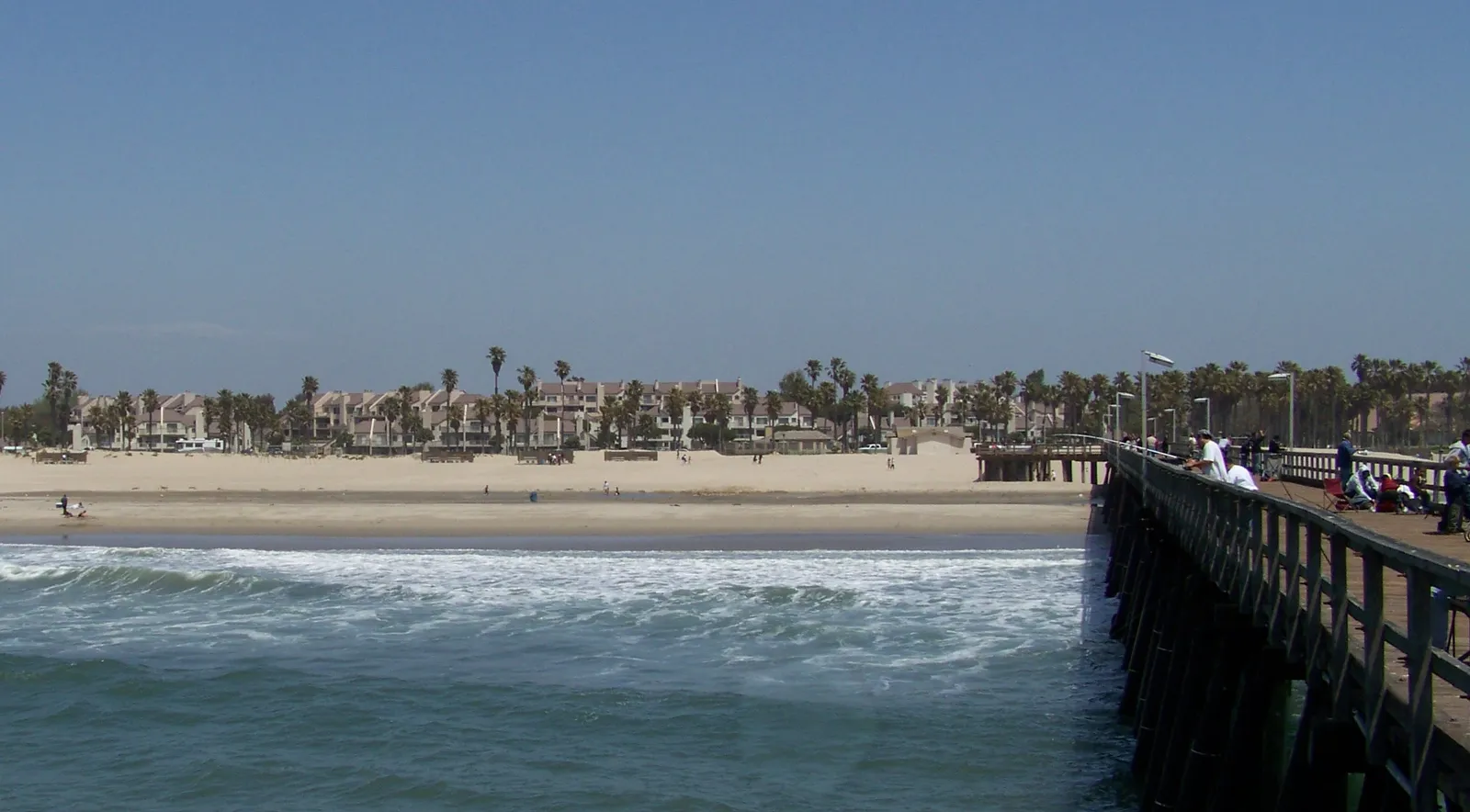
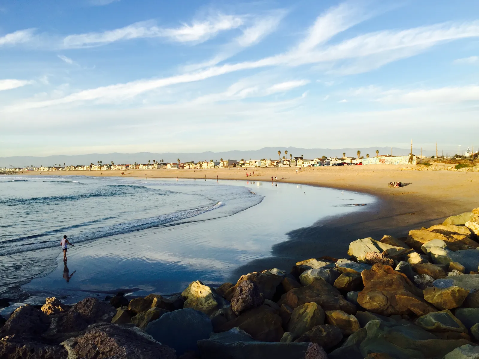
Ormond Beach is a two-mile stretch of remote shoreline in south Oxnard, running from Port Hueneme on the north to the northwestern boundary of Naval Base Ventura County Point Mugu on the south. Behind the dunes lies the reason most visitors come at all. The 1,500-acre Ormond Beach Wetlands, a system of marshes, lagoons, and estuaries that takes in the inland margin of Mugu Lagoon, supports roughly 200 bird species, among them the federally listed western snowy plover. The beach itself is undeveloped, with no road access onto the sand. The northern entry leaves Arnold Road and runs about a quarter mile south to the surf; the southern entry leaves the end of Ocean View Drive and runs a full mile east.
The sand bottom and breaking waves along the open beach are a surf zone biome. Inland of the dunes, the brackish channels and tidal flats of the Ormond Beach Wetlands and Mugu Lagoon hold eelgrass and submerged grass beds, which makes that area a seagrass biome reachable from the wetland trails rather than from the surf line.
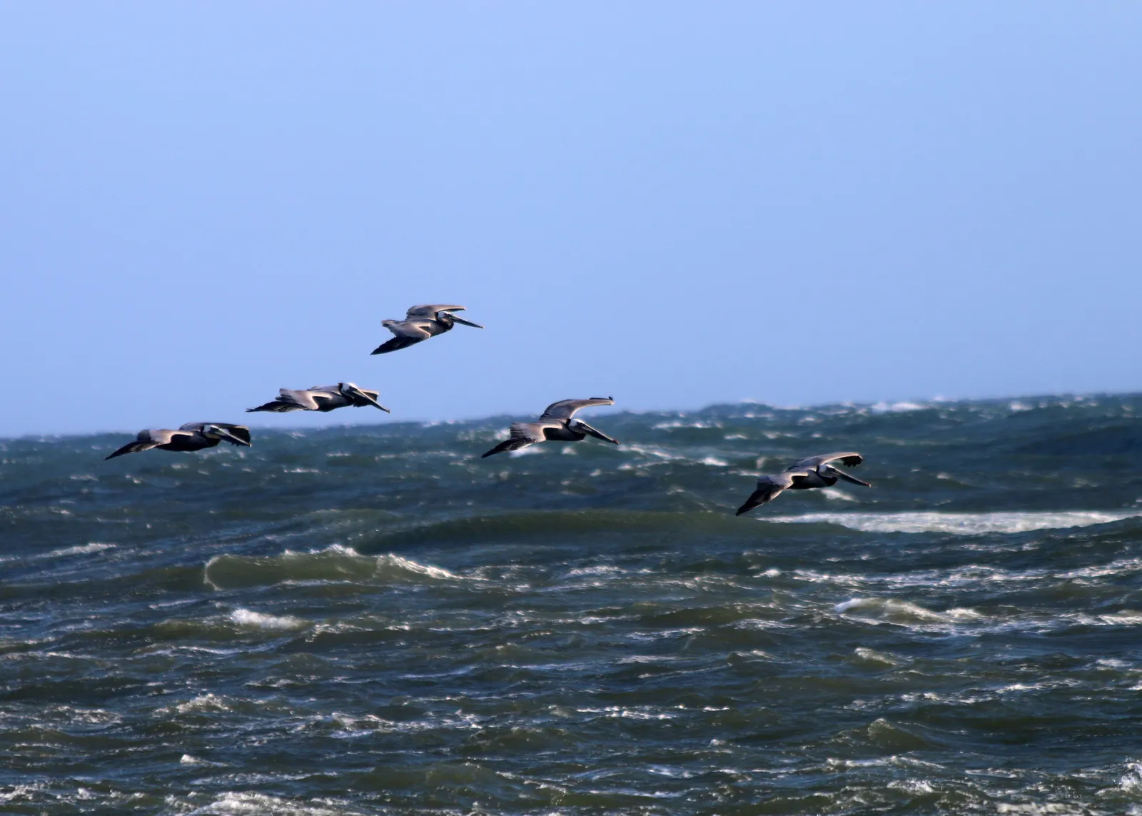
Shore anglers fish the open sand for perch. The bird community is the dominant non-fishing draw and brings visitors year-round. The remote access and shifting bars make surfing uncommon, and the absence of rocky structure or kelp offshore keeps snorkeling, scuba, and spearfishing uncommon as well.
Neither access point puts a visitor on the sand without a walk, and there are no restrooms, facilities, or lifeguards on site. Fishing and spearfishing on the open beach are legal under standard California regulations. The wetlands and the lagoon are managed habitat with bird-nesting closures during the breeding season, and posted signs and designated trails govern entry on that side of the dunes.

Surf Zone
The surf zone biome consists of sandy beaches and breaking waves. The action of surf disturbing the sand and kicking it up exposes marine invertebrates, buried in their shallow dens. This natural exposure of invertebrates attracts all kinds of fish, looking for an easy meal. Learn more about this biome and the species found in it by clicking the link below.
Learn more in the Biome Glossary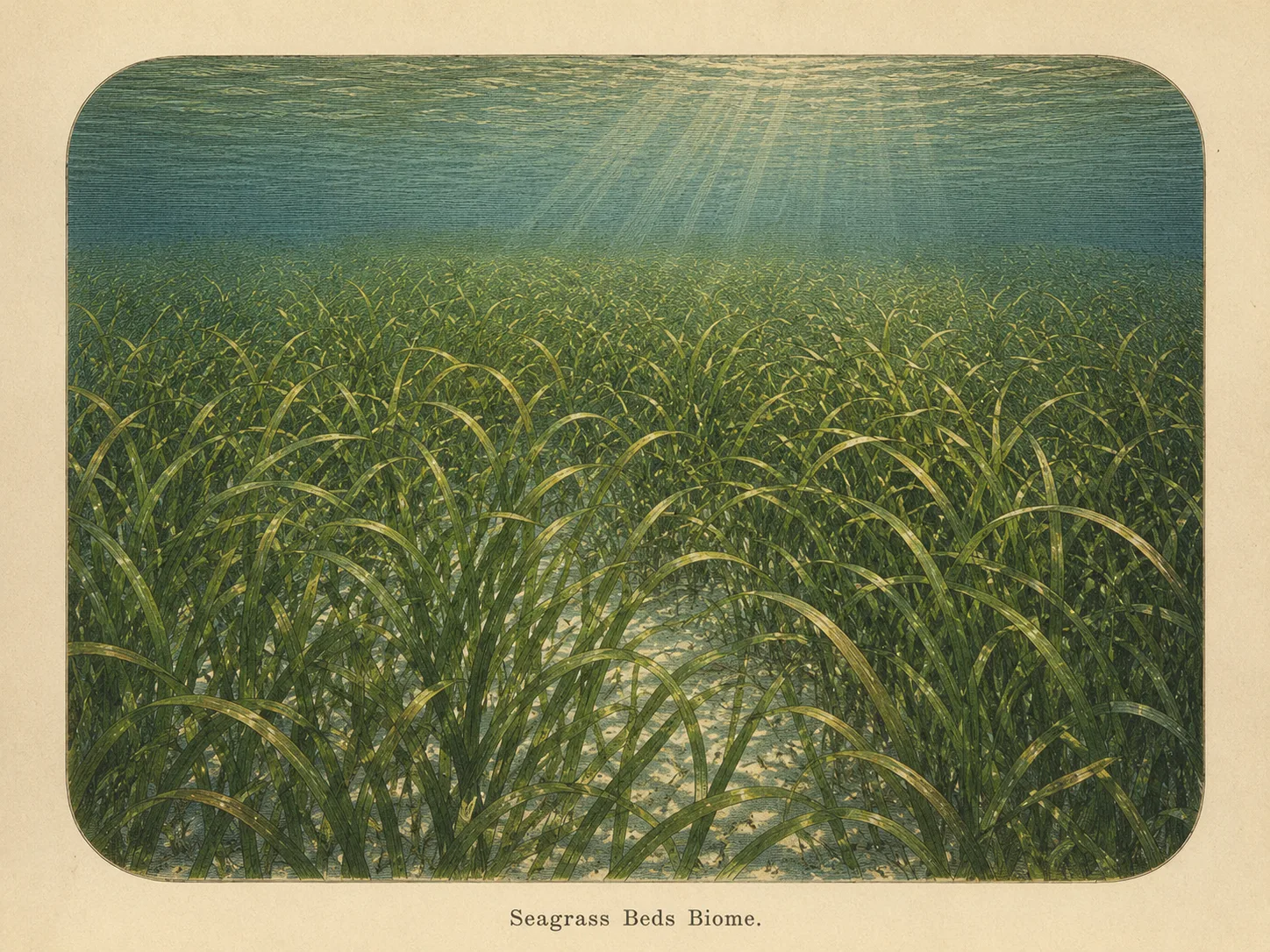
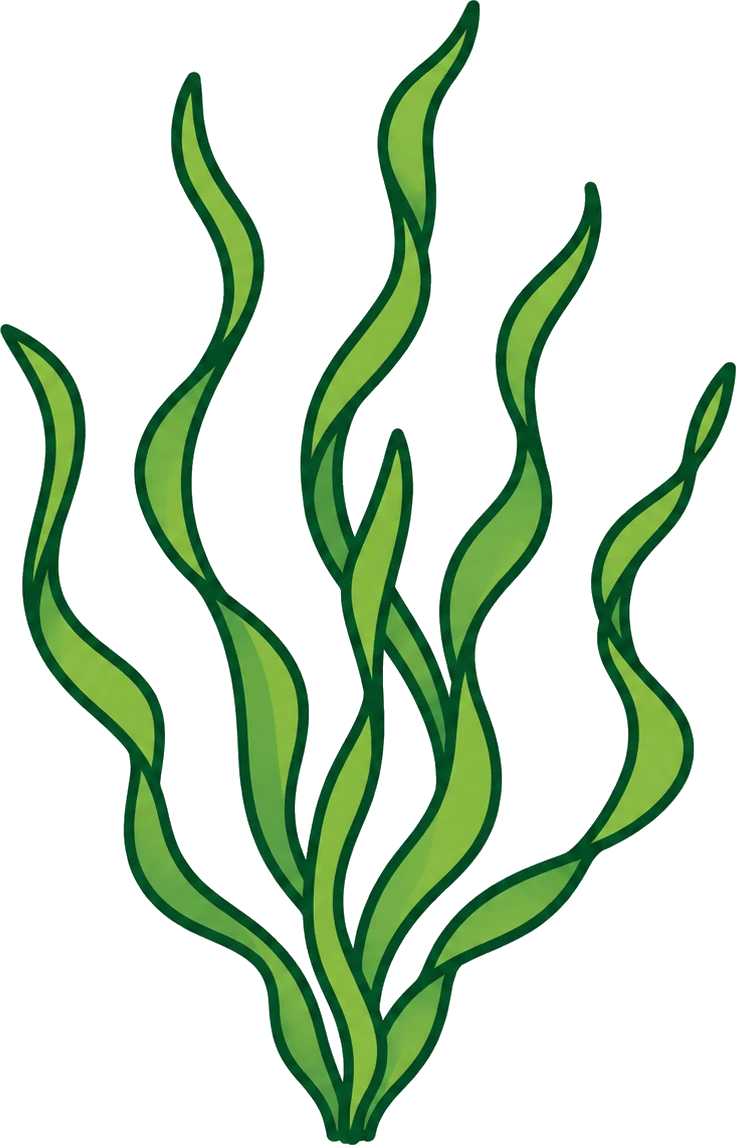
Seagrass Bed
The seagrass biome is sandy bottom carpeted with eelgrass or surfgrass. The blades shelter juvenile fish and invertebrates and stabilize the sediment against the current. Learn more about this biome and the species found in it by clicking the link below.
Learn more in the Biome GlossaryTarget Fish Species
Nearby beaches
Gain the Power
of the Oracle.
Ocean Oracle sees the future. Get 7-day visibility forecasts for every beach, plus alerts the night before clarity peaks — so you never miss a prime day.
Free shows you what the ocean looks like today. Ocean Oracle shows you the week ahead and the fish waiting for you down there.
Visibility predictions for the entire week ahead at any beach. Plan dives, schedule charters, book trips — without guessing.
The night before any beach hits prime conditions, Ocean Oracle pings your phone. Wake up knowing exactly where to go.
Track your favorite beaches in one place. Forecasts and alerts for everywhere you dive.
For every beach: what species are there, when they show up, and how to target them. Built by spearos, for spearos.
See the future. Dive on the right days.