
McGrath State Beach
Oxnard · Ventura County · California

Did you dive today?Please share the visibility to make our algorithm more accurate.
Report visibilityToday's forecast
Updated 10:00 AM PT today · July 28, 2026Dawn is the clearest window — onshore wind picks up by late morning and surface chop stirs the bottom through the afternoon.
7-Day Forecast
Map · getting there
34.225° N · 119.258° W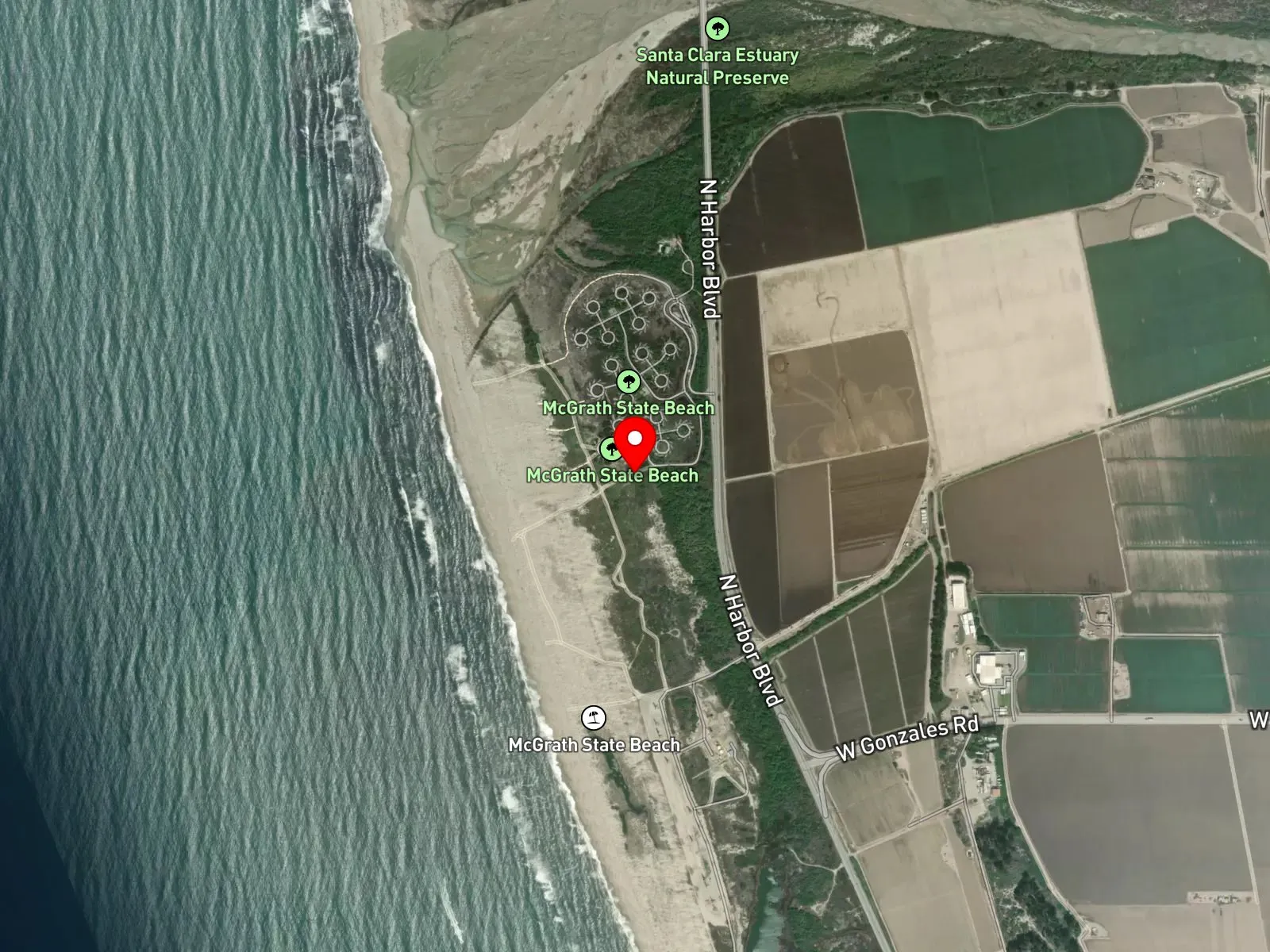
Oxnard, CA 93035
About McGrath State Beach
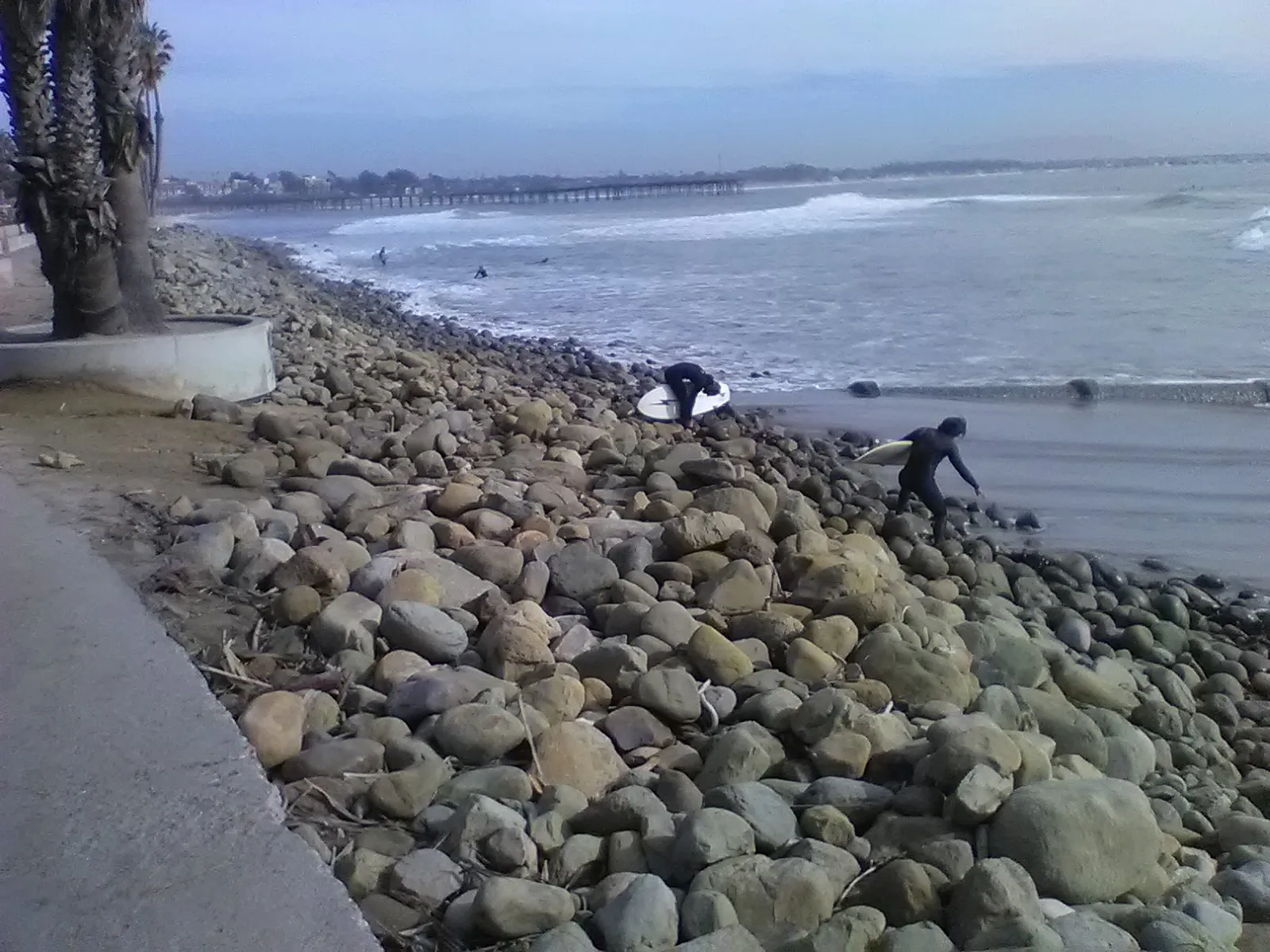
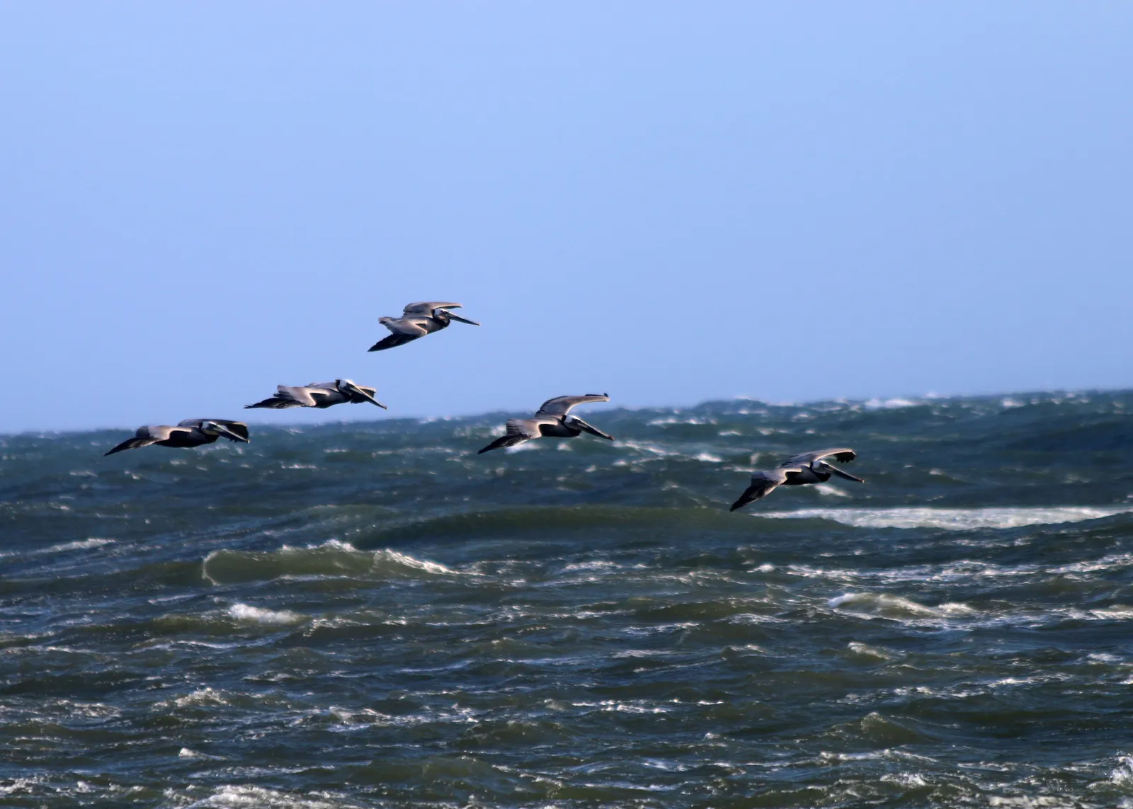
McGrath State Beach covers approximately 340 acres along two miles of coast between the cities of Ventura and Oxnard, on the south bank of the mouth of the Santa Clara River. Nine habitats meet inside the unit: the Pacific Ocean, sandy beach, coastal dunes, the Santa Clara River and its estuary, McGrath Lake as a coastal back-dune water body, riparian woodland, freshwater marsh, and brackish marsh. The estuary and dunes support federally listed species including the western snowy plover. McGrath State Beach is one of the best bird-watching sites on the Ventura County coast. The 174-site campground has been heavily impacted by repeated flooding since the south levee on the Santa Clara River failed in 2005, and only a fraction of campsites have been operational since 2017.
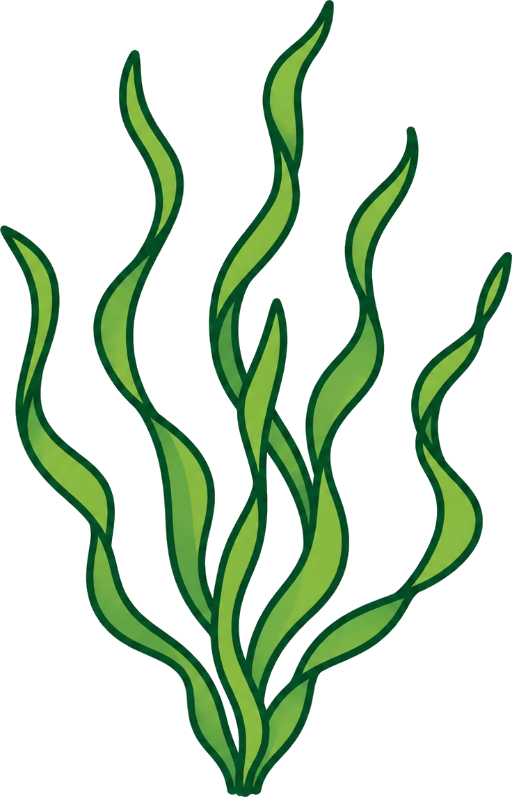
The sand bottom and breaking waves at the open beach are a surf zone biome. Behind the dunes, the Santa Clara River estuary and the brackish marsh hold eelgrass and submerged grass beds in the slower-moving channels, which makes the estuary a seagrass biome.
Surf fishing from the beach produces perch. Wildlife viewing in the estuary and along the dunes is the dominant non-fishing use, with the bird community drawing visitors year-round. The river-mouth current and shifting bars keep surfing uncommon, and turbidity from the river keeps spearfishing, snorkeling, and scuba uncommon as well, though spearfishing on the open beach is legal.
The state park lot is at the end of Harbor Boulevard in south Oxnard with a day-use fee. Campsite availability has been heavily reduced since 2017, and California State Parks should be checked before traveling. Fishing and spearfishing are legal here under standard California regulations. The estuary is closed to bait collection and to take from inside protected wildlife areas; posted signs should be observed.

Surf Zone
The surf zone biome consists of sandy beaches and breaking waves. The action of surf disturbing the sand and kicking it up exposes marine invertebrates, buried in their shallow dens. This natural exposure of invertebrates attracts all kinds of fish, looking for an easy meal. Learn more about this biome and the species found in it by clicking the link below.
Learn more in the Biome Glossary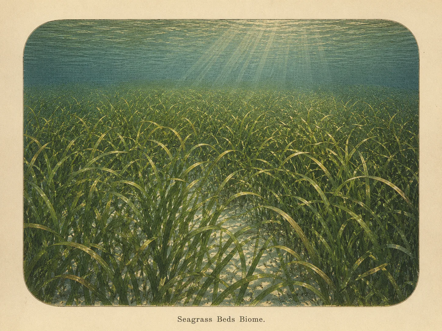
Seagrass Bed
The seagrass biome is sandy bottom carpeted with eelgrass or surfgrass. The blades shelter juvenile fish and invertebrates and stabilize the sediment against the current. Learn more about this biome and the species found in it by clicking the link below.
Learn more in the Biome GlossaryTarget Fish Species
Nearby beaches
Gain the Power
of the Oracle.
Ocean Oracle sees the future. Get 7-day visibility forecasts for every beach, plus alerts the night before clarity peaks — so you never miss a prime day.
Free shows you what the ocean looks like today. Ocean Oracle shows you the week ahead and the fish waiting for you down there.
Visibility predictions for the entire week ahead at any beach. Plan dives, schedule charters, book trips — without guessing.
The night before any beach hits prime conditions, Ocean Oracle pings your phone. Wake up knowing exactly where to go.
Track your favorite beaches in one place. Forecasts and alerts for everywhere you dive.
For every beach: what species are there, when they show up, and how to target them. Built by spearos, for spearos.
See the future. Dive on the right days.