
Walk On Beach
The Sea Ranch · Sonoma County · California


Visibility Breakdown
Visibility by position
Solid = diver report · outlined = today's forecast

Break Zone: The range of water where the waves break and sediment is stirred up.
Post Break: The range past where any waves are forming, where the water starts to have a significant increase in visibility. There might be some sediment here, but swell energy is diffused and the water is calmer.
Open Water: This zone is far out enough from the shore that the water is at its clearest. It’s deep enough that sediment is not disturbed by the wave energy at the surface. Haze can sit near the surface, so the water is usually clearer the deeper you go.
Through the day
Today's visibility readings at this spot, shown at the hour each one was taken.
Every bar is a reading for the Post Break zone.
This chart shows measured diver reports only.
Did you dive today?Please share the visibility to make our algorithm more accurate.
Report visibility

Today's forecast
Updated 4:38 PM PT today · October 13, 2026Dawn is the clearest window — onshore wind picks up by late morning and surface chop stirs the bottom through the afternoon.
7-Day Forecast
Map · getting there
38.740° N · 123.492° W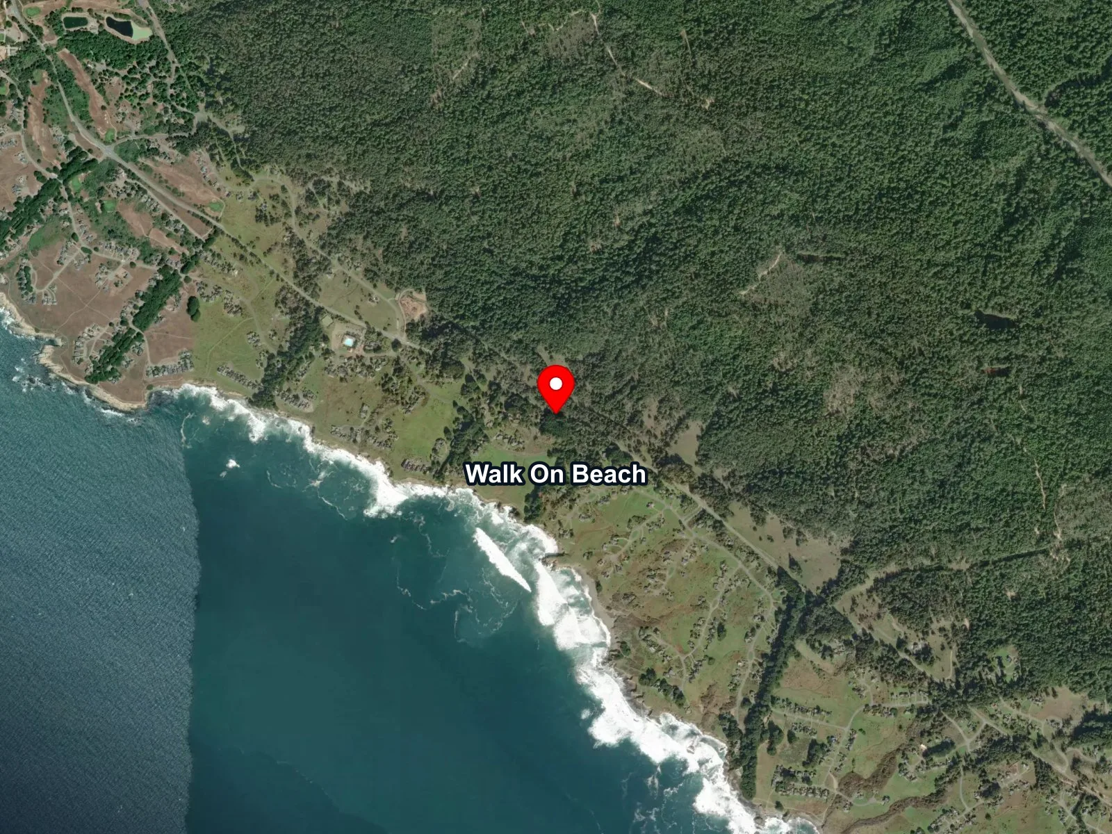
 Open in Google Maps
 Open in Apple Maps
About Walk On Beach
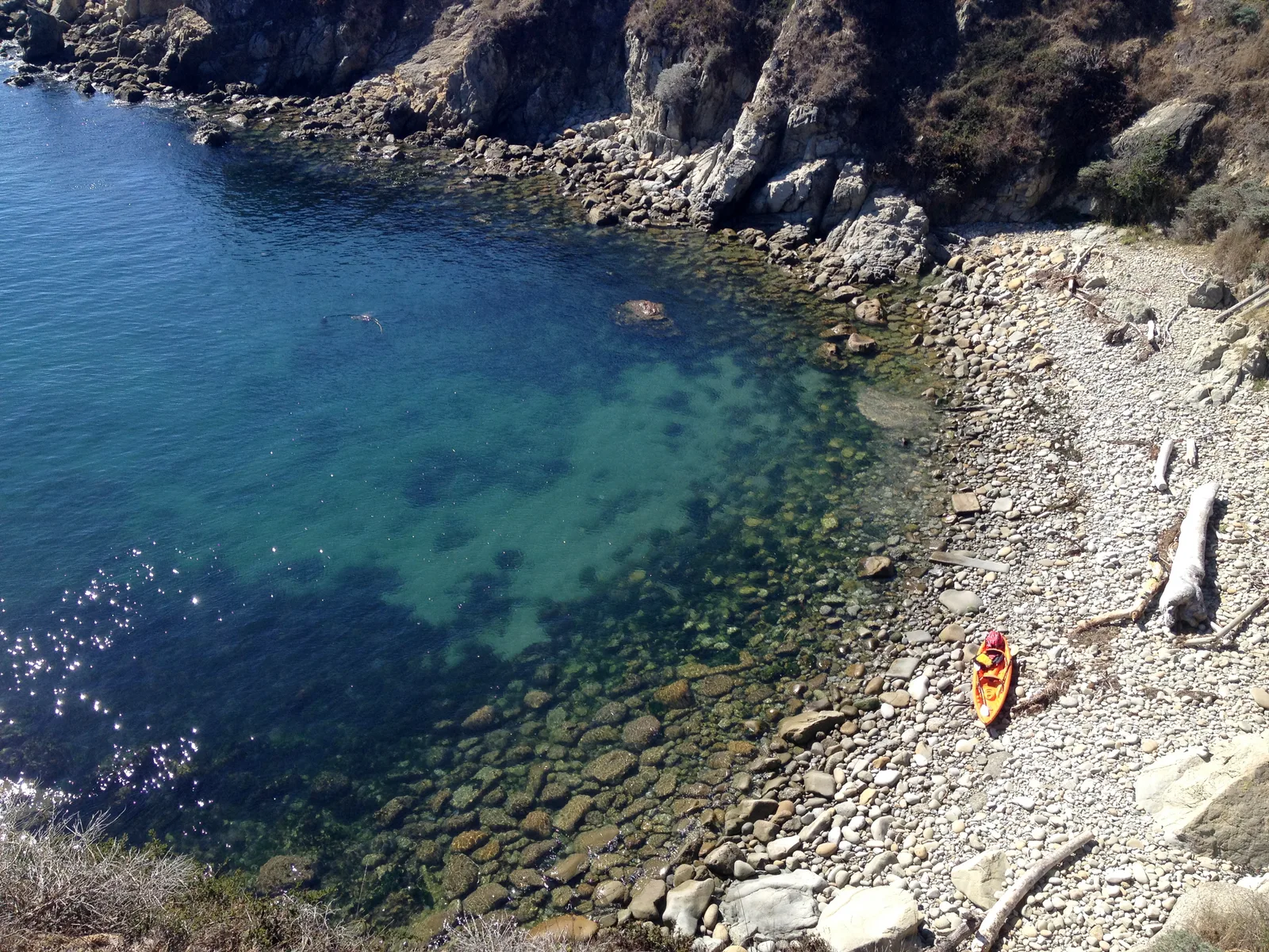
Walk On Beach is a broad pocket beach on the north Sonoma coast at The Sea Ranch, reached from Highway 1 through a Monterey cypress grove on the bluff. Sand, pebble, and driftwood make up the beach, and weathered sandstone formations mark the north end. As of the most recent reporting, the trail is closed at the bluff top after a landslide removed the trail-to-beach section, so visitors can walk north on the bluff but cannot descend to the beach itself.
One of six public coastal access trails through The Sea Ranch, the beach sits inside a private community founded in 1965 and opened to public coastal access under the 1972 California Coastal Act and later trail settlements. Sonoma County Regional Parks operates the trails today.
The surf zone biome covers the main beach, where open sand meets direct west swell. Rocky outcrops at the north end and the point structure beyond are a rocky reef biome. Bull kelp beds sit offshore, thinned by the 2013 north-coast die-off but still present, and the kelp forest biome extends to this stretch in season.
When the trail is open, beach walking and tide pooling are the primary uses. The signed paved lot at 40101 Highway 1 (milepost 56.53) has restrooms and a Sea Ranch coastal-access fee of $7 per vehicle; hours run 6 a.m. to sunset in summer and 8 a.m. to sunset in winter. Fishing and spearfishing off the beach are legal under standard California regulations, and Del Mar Landing State Marine Reserve, a no-take zone about 0.7 miles to the northwest, is the nearest MPA; abalone take is closed statewide through at least April 2036.
Surf Zone
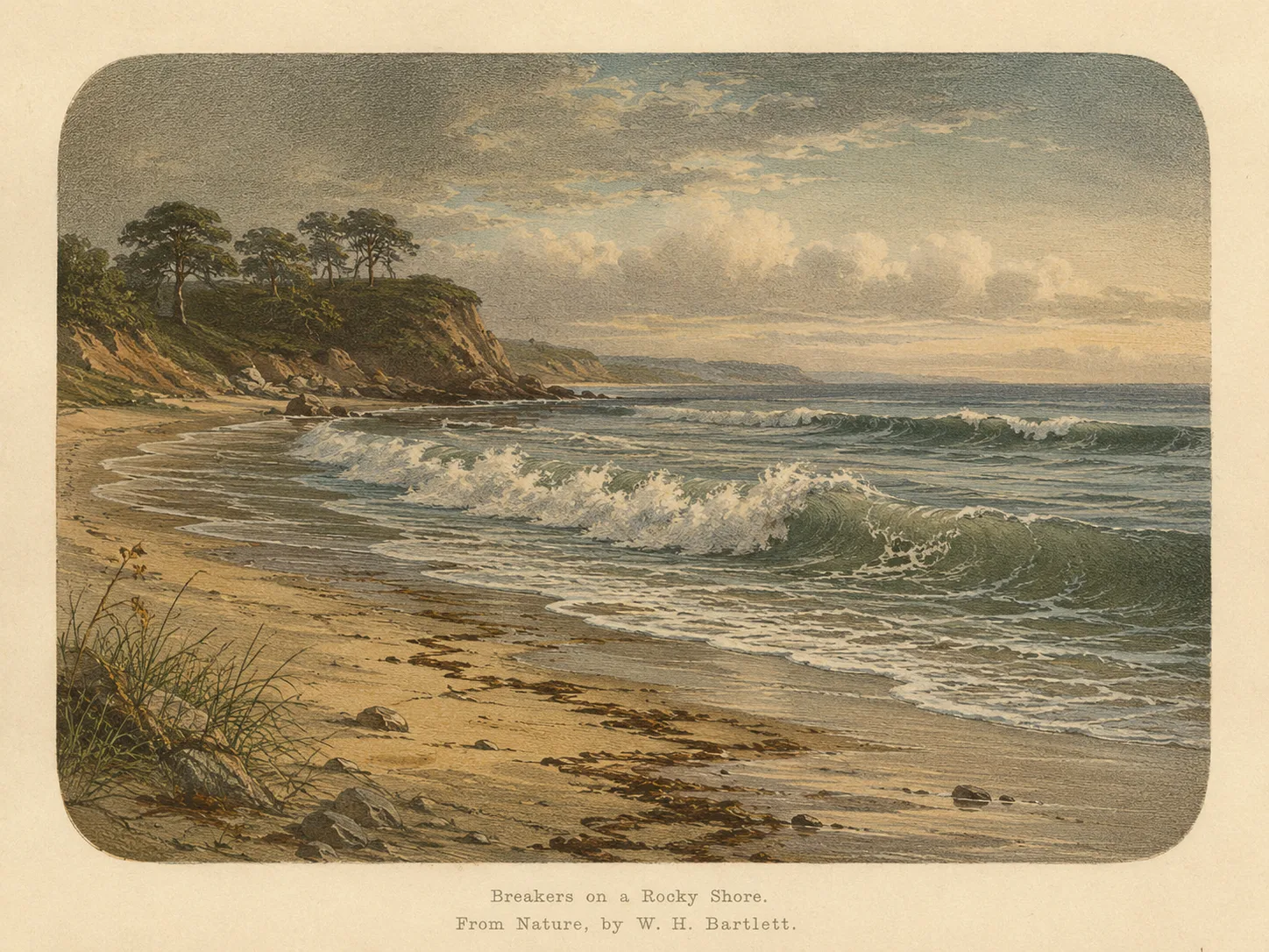
The surf zone biome consists of sandy beaches and breaking waves. The action of surf disturbing the sand and kicking it up exposes marine invertebrates, buried in their shallow dens. This natural exposure of invertebrates attracts all kinds of fish, looking for an easy meal. Learn more about this biome and the species found in it by clicking the link below.
Learn more in the Biome Glossary
Rocky Reef
The rocky reef biome is bare rock, boulder, and cobble structure without a kelp canopy above it. The hard relief and its crevices shelter invertebrates and reef fish, and the structure concentrates life that the surrounding sand cannot hold. Learn more about this biome and the species found in it by clicking the link below.
Learn more in the Biome Glossary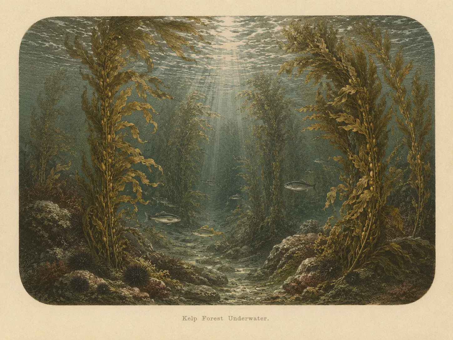
Kelp Forest
The kelp forest biome is giant kelp anchored to rocky bottom and growing up through the water column. The canopy and stipes form a three-dimensional habitat that shelters fish, invertebrates, and the predators that hunt them. Learn more about this biome and the species found in it by clicking the link below.
Learn more in the Biome GlossaryTarget Fish Species
The fish found at Walk On Beach are being researched for the Ichthyopedia. This section fills in as species are mapped to this beach.
Browse the Ichthyopedia →Spot strategies
Nearby beaches
 Ocean Oracle Pro
Gain the Power
of the Oracle.
Ocean Oracle sees the future. Get 7-day visibility forecasts for every beach, alerts when a prime day is coming, and a dive log that remembers every dive.
Free shows you what the ocean looks like today. Ocean Oracle shows you the week ahead, watches your beaches for you, and remembers every dive.
Visibility predictions for the entire week ahead at any beach. Plan dives, schedule charters, and book trips without guessing.
When a beach on your watchlist is running good water, or the week ahead shows a good day coming, Ocean Oracle emails you. A prime window never slips past.
Every entry freezes that day's report: visibility, tide, swell, wind. Log catches, stamp Personal Bests, level up your guns, and light up your species life list.
The Coastal Bulletin greets members with the clearest water on the coast today and their own watchlist, before a single click.
Track your favorite beaches in one place. Forecasts and alerts for everywhere you dive.
A members-only board on every beach where taking fish is legal: how other members hunt the spot, with the gear, tide, season, and target species. Post your own and earn XP.
See the future. Dive on the right days.