
Gerstle Cove
Salt Point · Sonoma County · California

Visibility Breakdown
Visibility by position
Solid = diver report · outlined = today's forecast

Post Break: The range past where any waves are forming, where the water starts to have a significant increase in visibility. There might be some sediment here, but swell energy is diffused and the water is calmer.
Open Water: This zone is far out enough from the shore that the water is at its clearest. It’s deep enough that sediment is not disturbed by the wave energy at the surface. Haze can sit near the surface, so the water is usually clearer the deeper you go.
Through the day
Today's visibility readings at this spot, shown at the hour each one was taken.
Every bar is a reading for the Post Break zone.
This chart shows measured diver reports only.
Did you dive today?Please share the visibility to make our algorithm more accurate.
Report visibility
Today's forecast
Updated 4:38 PM PT today · October 13, 2026Dawn is the clearest window — onshore wind picks up by late morning and surface chop stirs the bottom through the afternoon.
7-Day Forecast
Map · getting there
38.567° N · 123.332° W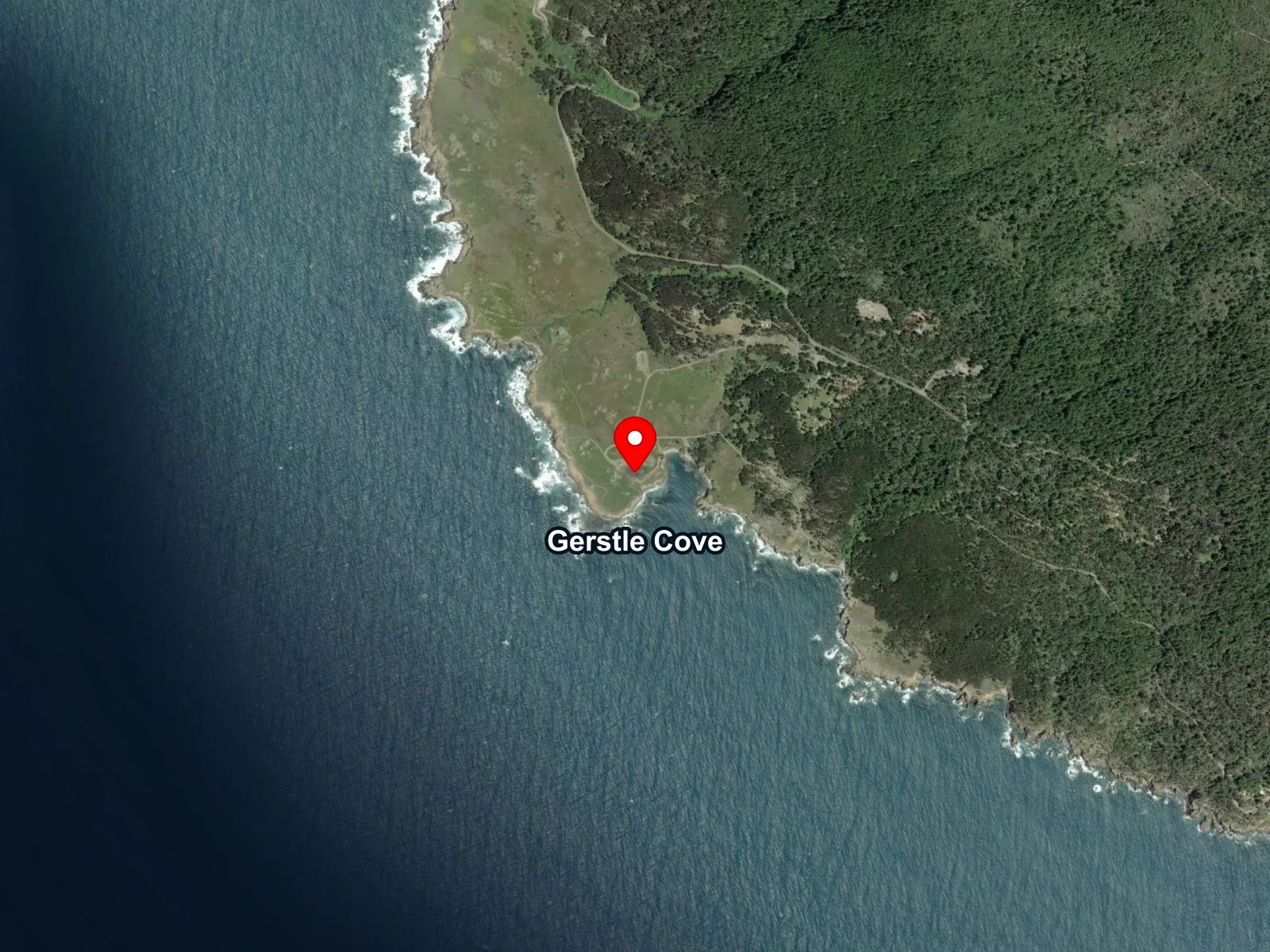
 Open in Google Maps
 Open in Apple Maps
About Gerstle Cove
Gerstle Cove is a small protected pocket cove at the south-central end of Salt Point State Park on the Sonoma coast, tucked directly below the park visitor center. The mouth opens west, and the water runs to roughly 50 feet out at the mouth. Inside, depths sit between 10 and 30 feet over a rocky bottom broken by low shelves and boulders. Palm kelp covers the shallow reef through the year, and bull kelp forms a seasonal canopy over the deeper water.
Named for the Gerstle family, co-owners of the 19th-century Salt Point Ranch, the cove is one of California's oldest marine reserves, protected since the 1970s and folded into the state's MPA Network in 2010. No take has been enforced here for decades, so the rocky-reef community reads as an unfished reference for this coast.
The deeper water in the cove and out the mouth is a kelp forest biome, with bull kelp anchored on the reef and growing up through the water column to the surface in season. A rocky reef biome lines the north side of the cove, where bare rock and palm-kelp-covered shelves run out around the point.
Diving here is observation only. Scuba divers and snorkelers work the reef on calm days, and underwater photography is a common draw. The paved lot at the visitor center holds ample vehicles, restrooms sit at the day-use area, and the Salt Point State Park day-use fee is $8 per vehicle. Take of any living, geological, or cultural marine resource is prohibited inside Gerstle Cove State Marine Reserve.
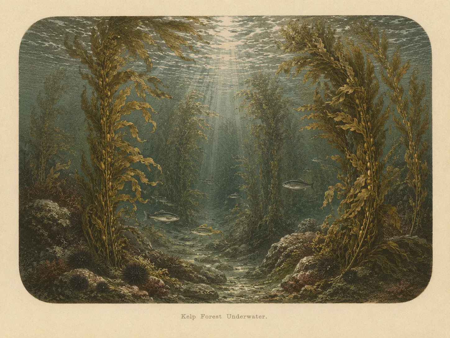
Kelp Forest
The kelp forest biome is giant kelp anchored to rocky bottom and growing up through the water column. The canopy and stipes form a three-dimensional habitat that shelters fish, invertebrates, and the predators that hunt them. Learn more about this biome and the species found in it by clicking the link below.
Learn more in the Biome Glossary
Rocky Reef
The rocky reef biome is bare rock, boulder, and cobble structure without a kelp canopy above it. The hard relief and its crevices shelter invertebrates and reef fish, and the structure concentrates life that the surrounding sand cannot hold. Learn more about this biome and the species found in it by clicking the link below.
Learn more in the Biome GlossarySnorkel Species Report
The fish found at Gerstle Cove are being researched for the Ichthyopedia. This section fills in as species are mapped to this beach.
Browse the Ichthyopedia →Nearby beaches
 Surf Zone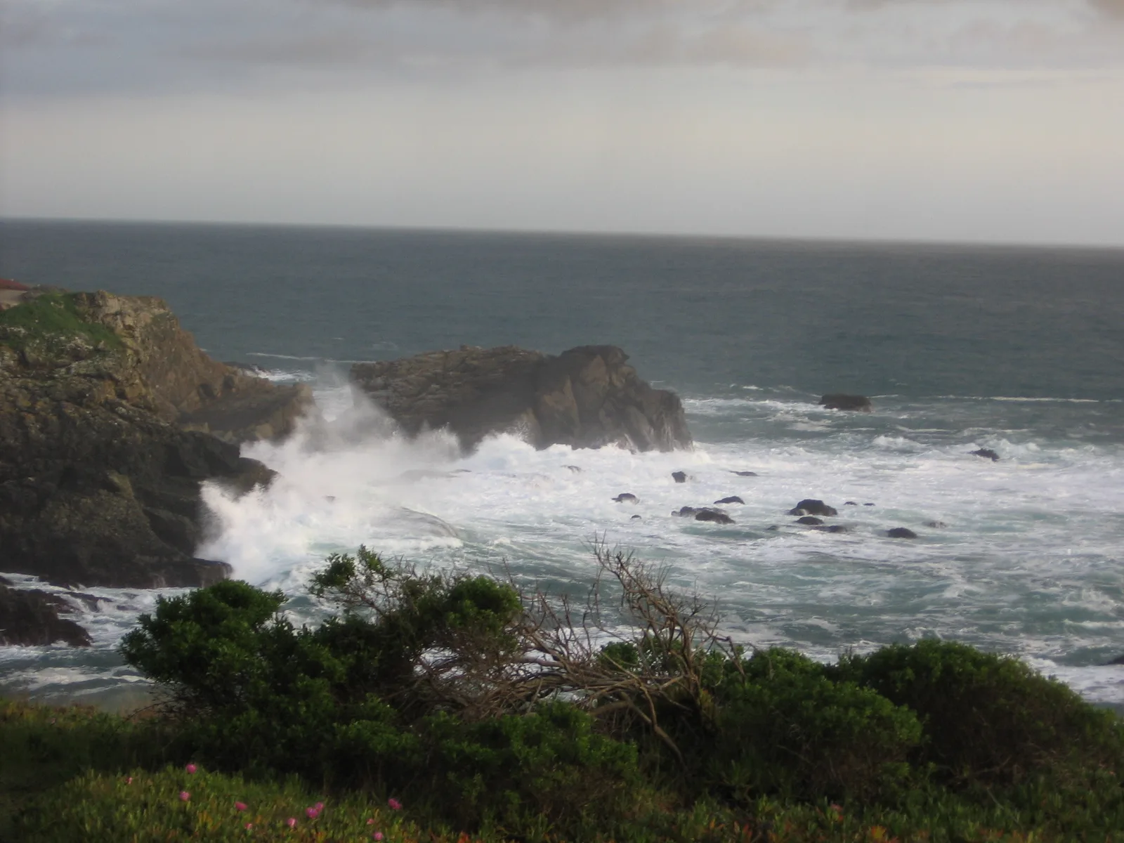
 Ocean Oracle Pro
Gain the Power
of the Oracle.
Ocean Oracle sees the future. Get 7-day visibility forecasts for every beach, alerts when a prime day is coming, and a dive log that remembers every dive.
Free shows you what the ocean looks like today. Ocean Oracle shows you the week ahead, watches your beaches for you, and remembers every dive.
Visibility predictions for the entire week ahead at any beach. Plan dives, schedule charters, and book trips without guessing.
When a beach on your watchlist is running good water, or the week ahead shows a good day coming, Ocean Oracle emails you. A prime window never slips past.
Every entry freezes that day's report: visibility, tide, swell, wind. Log catches, stamp Personal Bests, level up your guns, and light up your species life list.
The Coastal Bulletin greets members with the clearest water on the coast today and their own watchlist, before a single click.
Track your favorite beaches in one place. Forecasts and alerts for everywhere you dive.
A members-only board on every beach where taking fish is legal: how other members hunt the spot, with the gear, tide, season, and target species. Post your own and earn XP.
See the future. Dive on the right days.