
Point Sal Beach
Santa Barbara · Santa Barbara County · California

Did you dive today?Please share the visibility to make our algorithm more accurate.
Report visibilityToday's forecast
Updated 10:00 AM PT today · July 28, 2026Dawn is the clearest window — onshore wind picks up by late morning and surface chop stirs the bottom through the afternoon.
7-Day Forecast
Map · getting there
34.902° N · 120.655° W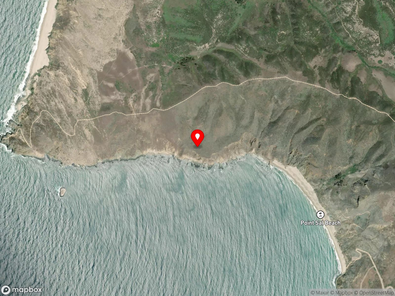
About Point Sal Beach
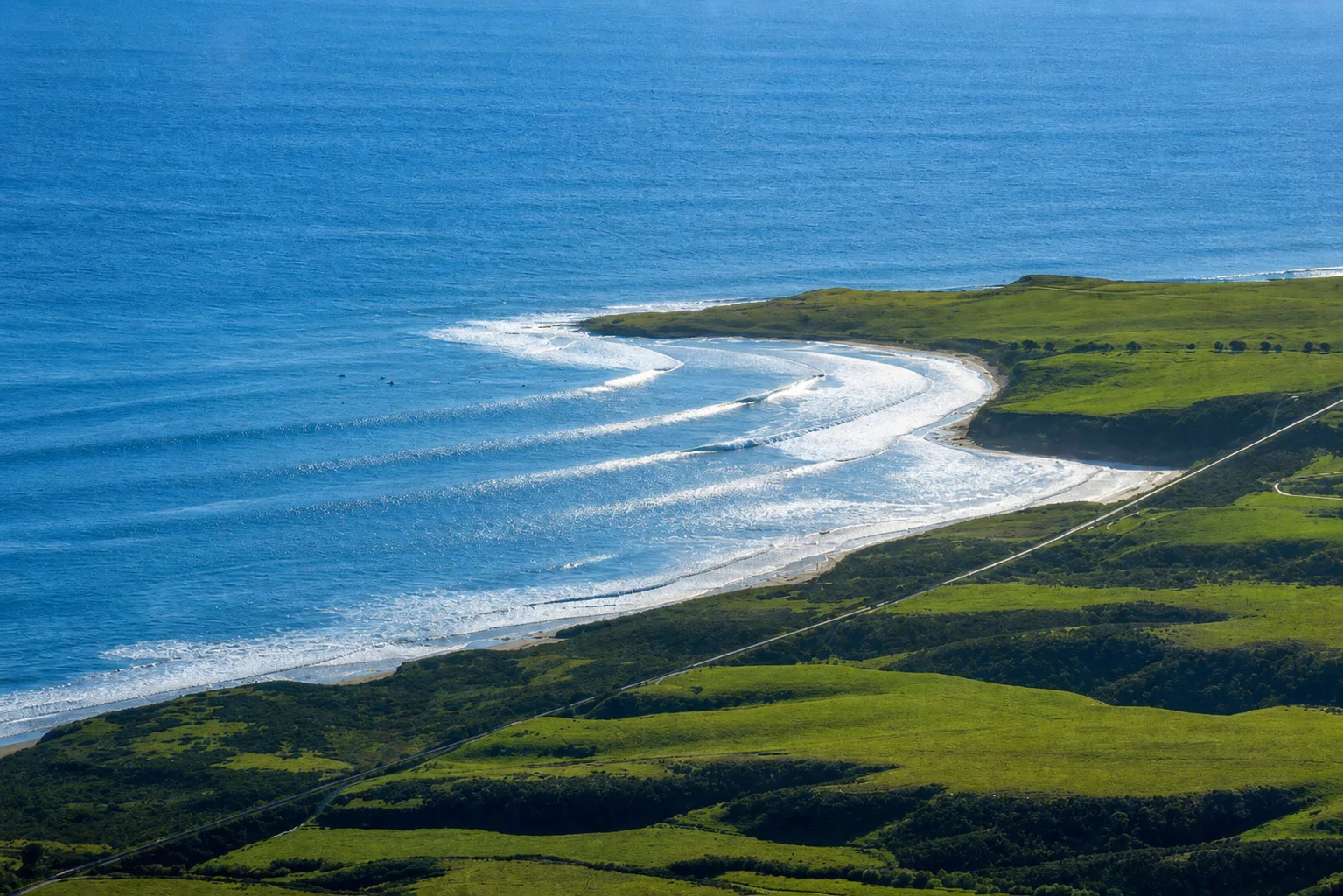
Point Sal Beach is a remote hike-in beach on the northwestern Santa Barbara County coast, west of Guadalupe and south of the Santa Maria River mouth. The beach sits at the base of the Casmalia Hills below the Point Sal headland and faces open Pacific water with no road access. The paved road that once descended to a State Beach parking area has been closed since storm damage in 1998, and the only legal public access today is on foot from a small parking area at the end of Brown Road, gated at the trailhead.
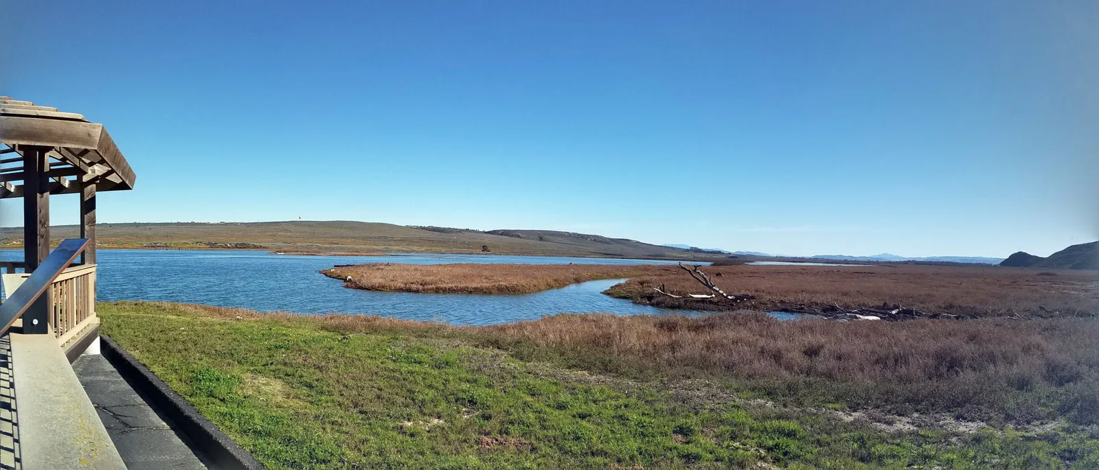
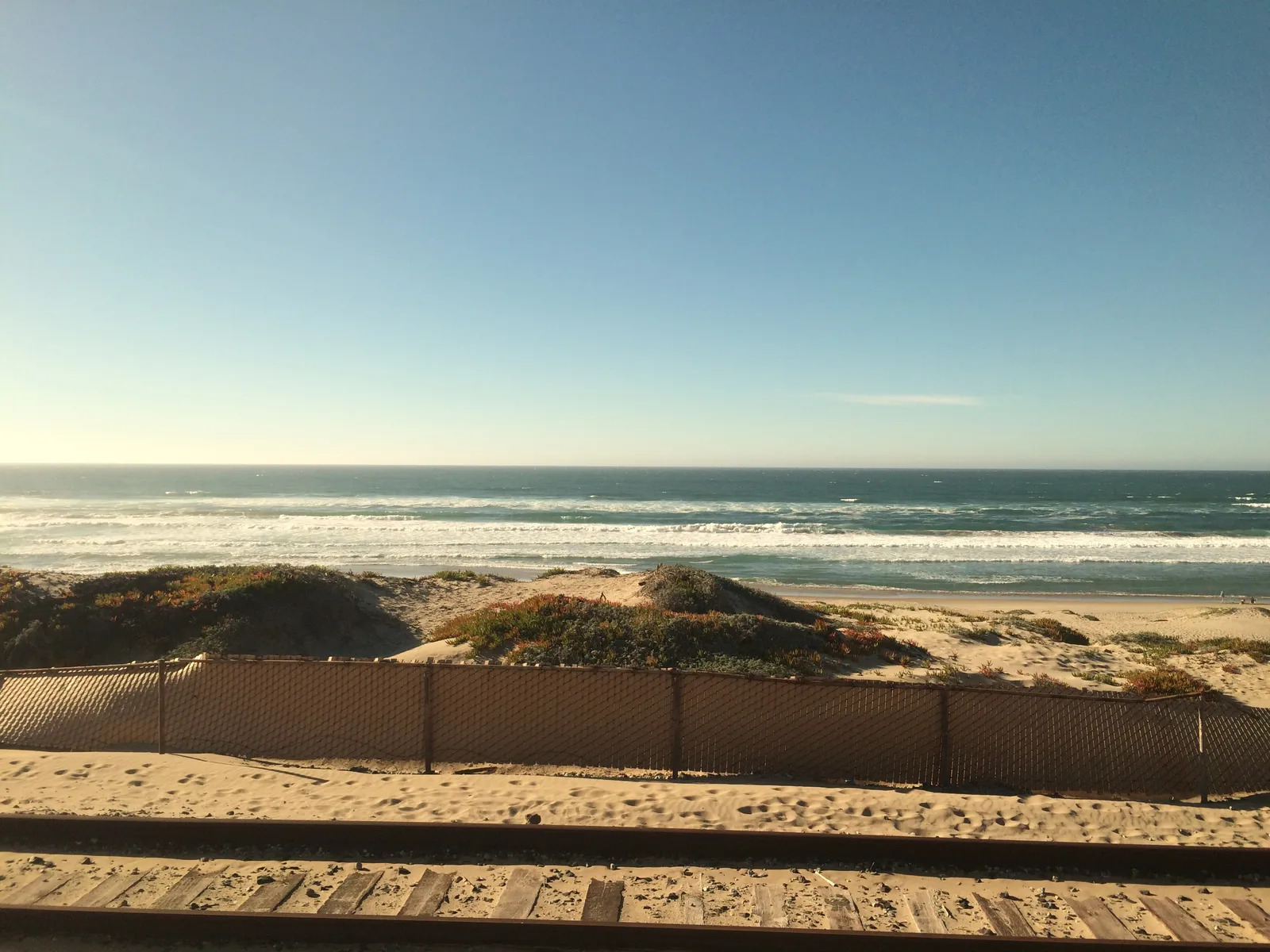
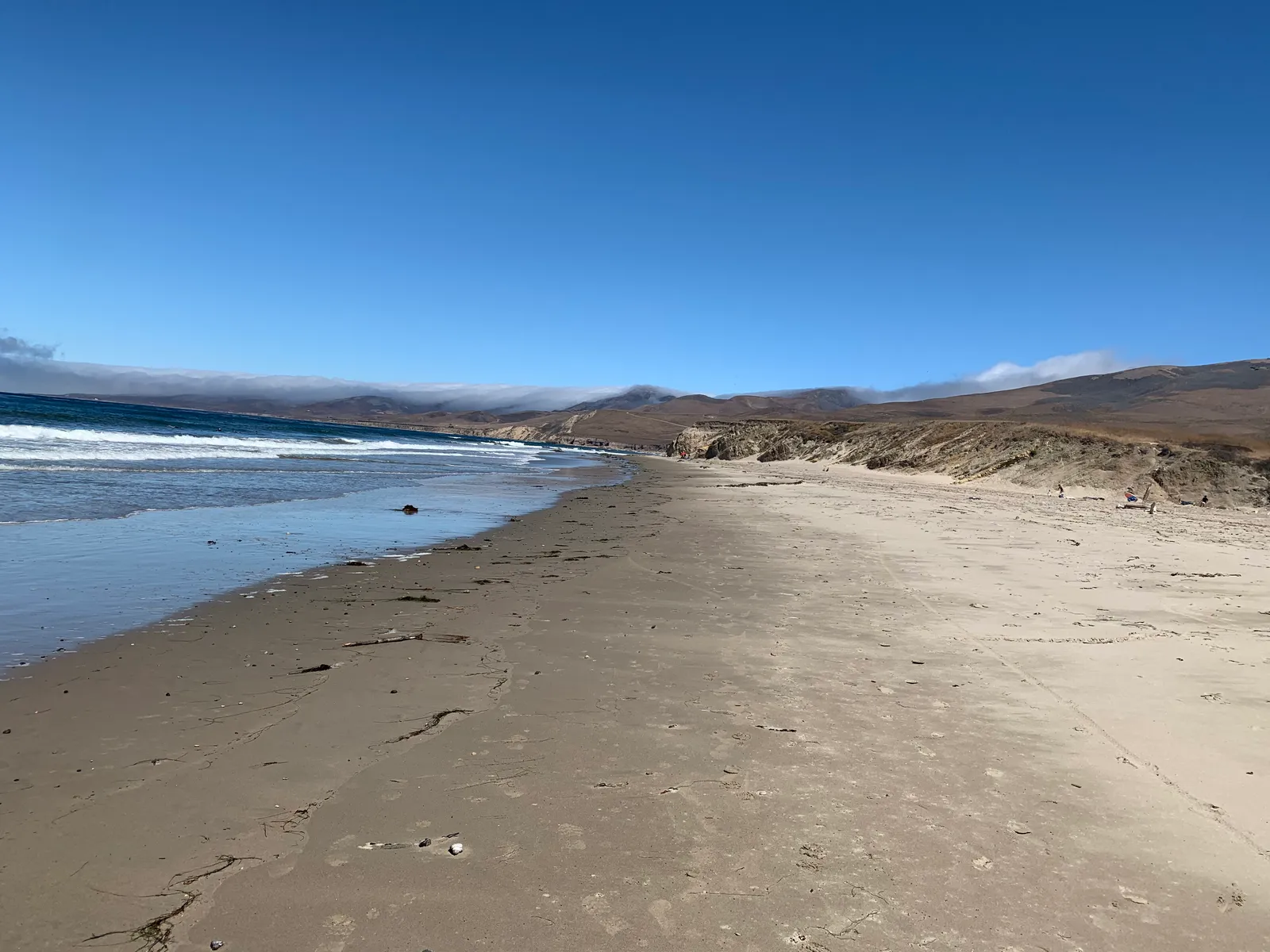
The trail follows an unpaved former access road over the Casmalia Hills, drops into Corralitos Canyon, then climbs back over a ridge before descending to the beach. The full round-trip runs approximately 9.9 miles with about 1,873 feet of elevation gain. The final descent to the beach is steep and informal. There are no restrooms, no potable water, and no services along the route. The beach itself is a long stretch of sand backed by bluffs, with rock outcrops at both ends.
The long open beach with breaking surf and sand bottom makes this a surf zone biome. At the headland edges to the north and south, cobble and exposed rock run out into the water, and that bottom is a rocky reef biome.
Hiking is the dominant activity. Spearfishing and hook-and-line fishing both happen at the beach, almost exclusively from divers and anglers who have hiked in, and the long carry of gear and catch back over the hills keeps pressure low compared with the road-accessible spots elsewhere in the county. Surfing is occasional, limited by the same problem. Wildlife viewing is common; harbor seals are present on the rocks, and shorebirds and raptors are present along the bluffs.
Parking is roadside only at the end of Brown Road. The trail is open from sunrise to sunset, and motor vehicles, bicycles, and camping are not permitted. Hook-and-line fishing and spearfishing are legal under standard California regulations, with no MPA at the spot.

Surf Zone
The surf zone biome consists of sandy beaches and breaking waves. The action of surf disturbing the sand and kicking it up exposes marine invertebrates, buried in their shallow dens. This natural exposure of invertebrates attracts all kinds of fish, looking for an easy meal. Learn more about this biome and the species found in it by clicking the link below.
Learn more in the Biome Glossary
Rocky Reef
The rocky reef biome is bare rock, boulder, and cobble structure without a kelp canopy above it. The hard relief and its crevices shelter invertebrates and reef fish, and the structure concentrates life that the surrounding sand cannot hold. Learn more about this biome and the species found in it by clicking the link below.
Learn more in the Biome GlossaryTarget Fish Species
Nearby beaches
Gain the Power
of the Oracle.
Ocean Oracle sees the future. Get 7-day visibility forecasts for every beach, plus alerts the night before clarity peaks — so you never miss a prime day.
Free shows you what the ocean looks like today. Ocean Oracle shows you the week ahead and the fish waiting for you down there.
Visibility predictions for the entire week ahead at any beach. Plan dives, schedule charters, book trips — without guessing.
The night before any beach hits prime conditions, Ocean Oracle pings your phone. Wake up knowing exactly where to go.
Track your favorite beaches in one place. Forecasts and alerts for everywhere you dive.
For every beach: what species are there, when they show up, and how to target them. Built by spearos, for spearos.
See the future. Dive on the right days.