
Ocean Beach Park
Santa Barbara · Santa Barbara County · California

Did you dive today?Please share the visibility to make our algorithm more accurate.
Report visibilityToday's forecast
Updated 10:00 AM PT today · July 28, 2026Dawn is the clearest window — onshore wind picks up by late morning and surface chop stirs the bottom through the afternoon.
7-Day Forecast
Map · getting there
34.692° N · 120.602° W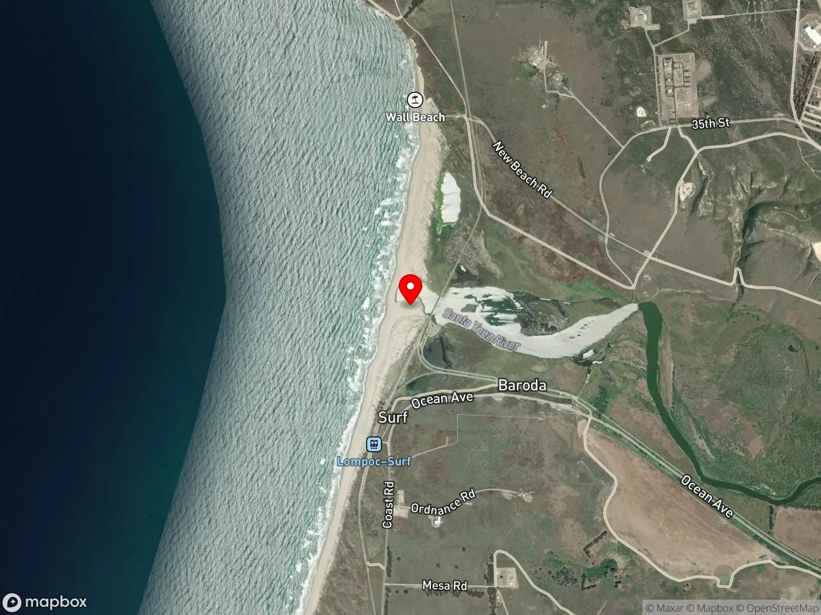
About Ocean Beach Park
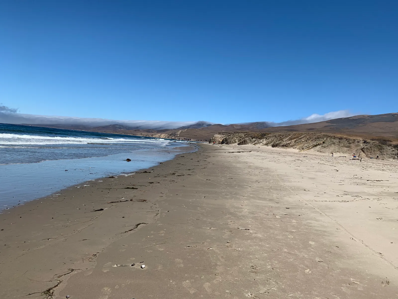
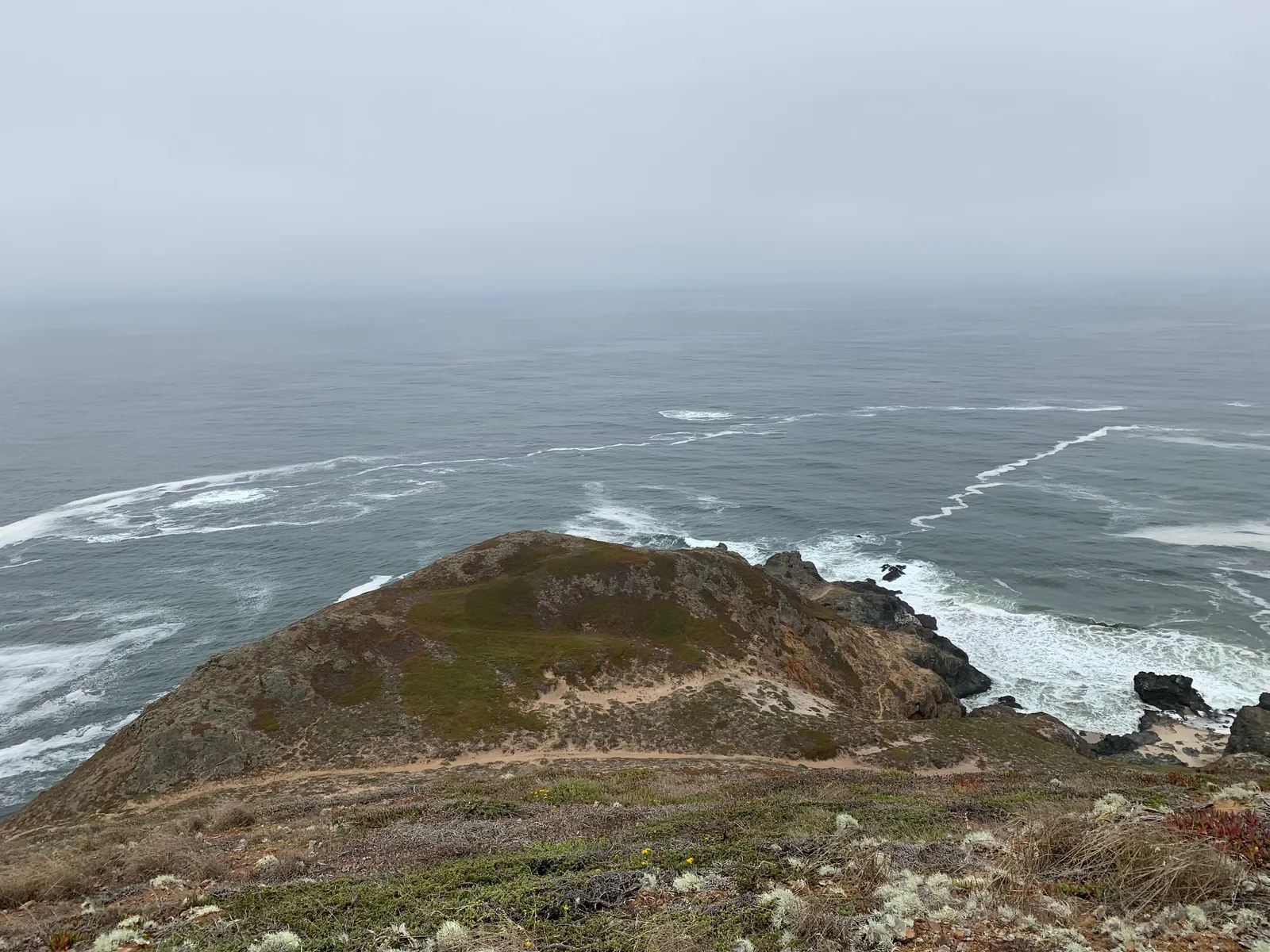
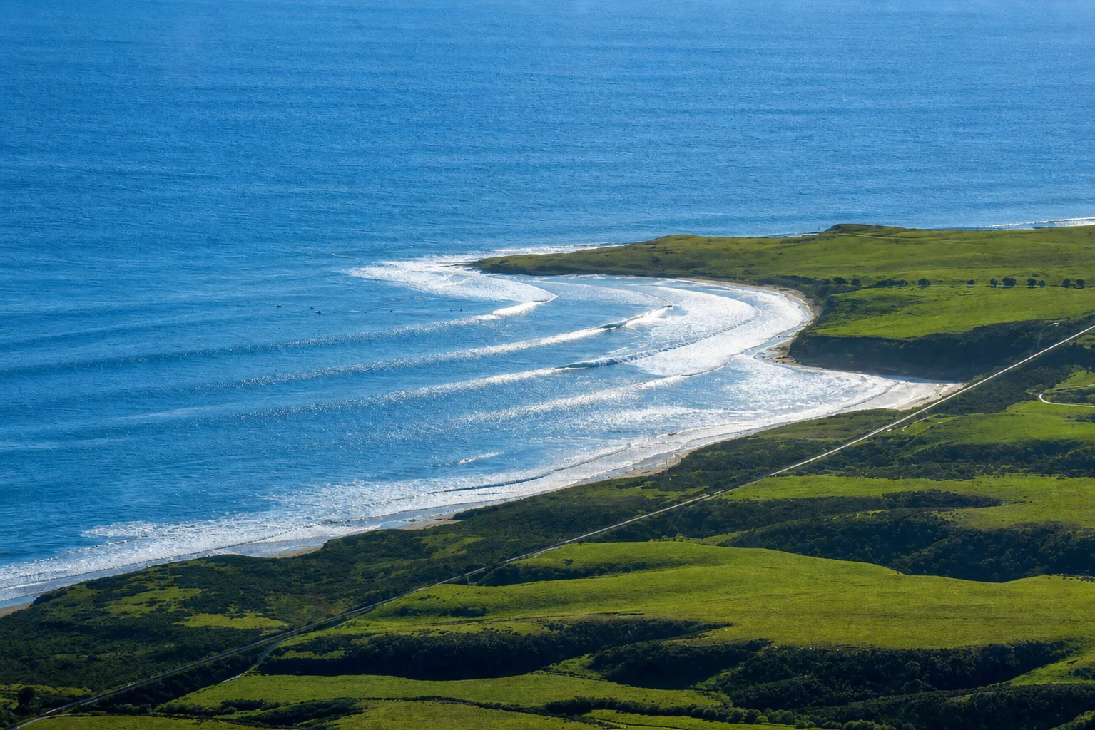
Ocean Beach Park sits at the mouth of the Santa Ynez River, about 13 miles west of Lompoc on the Vandenberg Space Force Base coastline. The shoreline is wide and wind-scoured, backed by a tidal estuary, and the park is one of the more remote public beaches in Santa Barbara County. Vandenberg owns all the surrounding land, so the park can close on short notice for base operations or when winter storms flood Ocean Avenue.
The Santa Ynez River is the largest river entirely within Santa Barbara County, and its estuary is the defining feature here. In winter the river breaks through the sand berm and runs out to the ocean, and through summer the berm rebuilds and the lagoon sits closed behind it. The wide lagoon is a noted birding location. The estuary has been closed to public water access for over 40 years to protect endangered species, so boating, fishing, and swimming inside the lagoon are all prohibited. The beach itself also closes entirely from March 1 through September 30 each year for snowy plover nesting, leaving a five-month window of legal access.
The exposed sandy shoreline and breaking surf put Ocean Beach Park in the surf zone biome. The Santa Ynez River estuary behind the beach is a bay biome, accessible by walking near but not by entry. Snorkeling and scuba diving are not reported here.
Parking is free in the lot at the end of Ocean Avenue, open from 8 a.m. to sunset. Take is prohibited within the Vandenberg State Marine Reserve, which covers the entire park, so all fishing and spearfishing are illegal here.

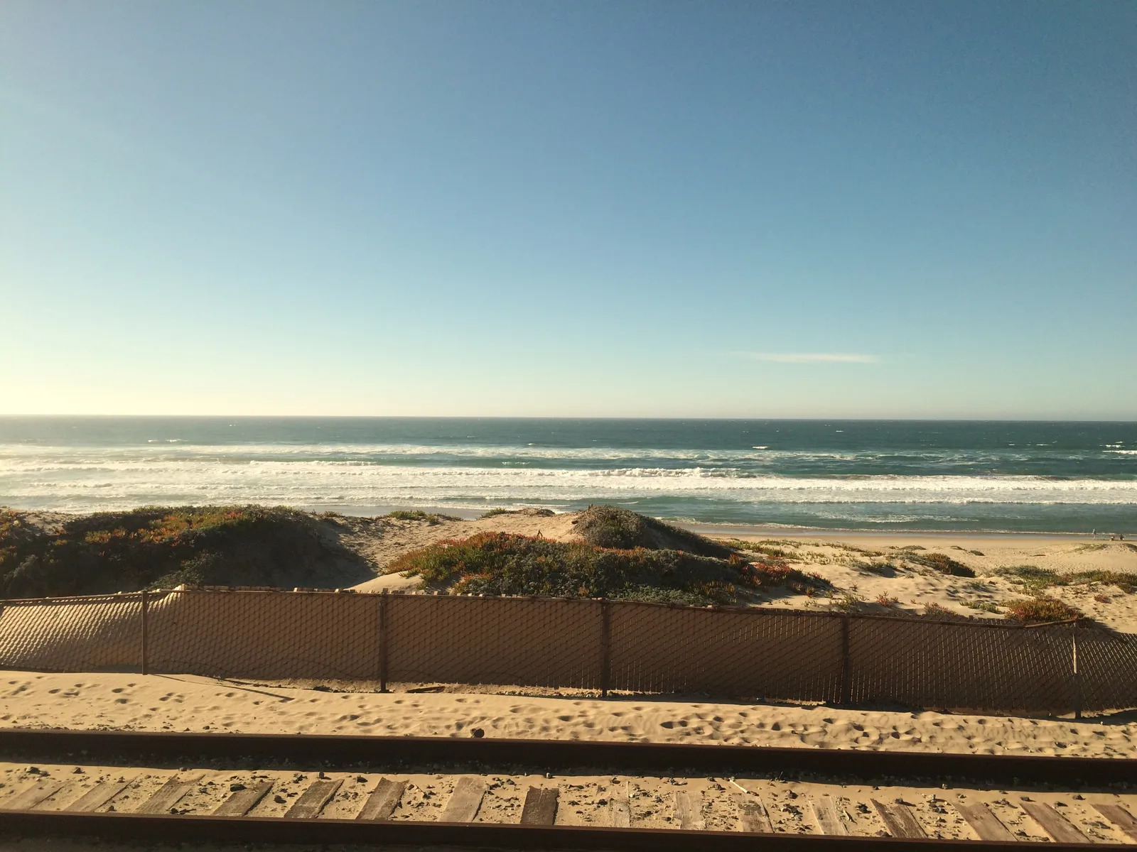
Surf Zone
The surf zone biome consists of sandy beaches and breaking waves. The action of surf disturbing the sand and kicking it up exposes marine invertebrates, buried in their shallow dens. This natural exposure of invertebrates attracts all kinds of fish, looking for an easy meal. Learn more about this biome and the species found in it by clicking the link below.
Learn more in the Biome Glossary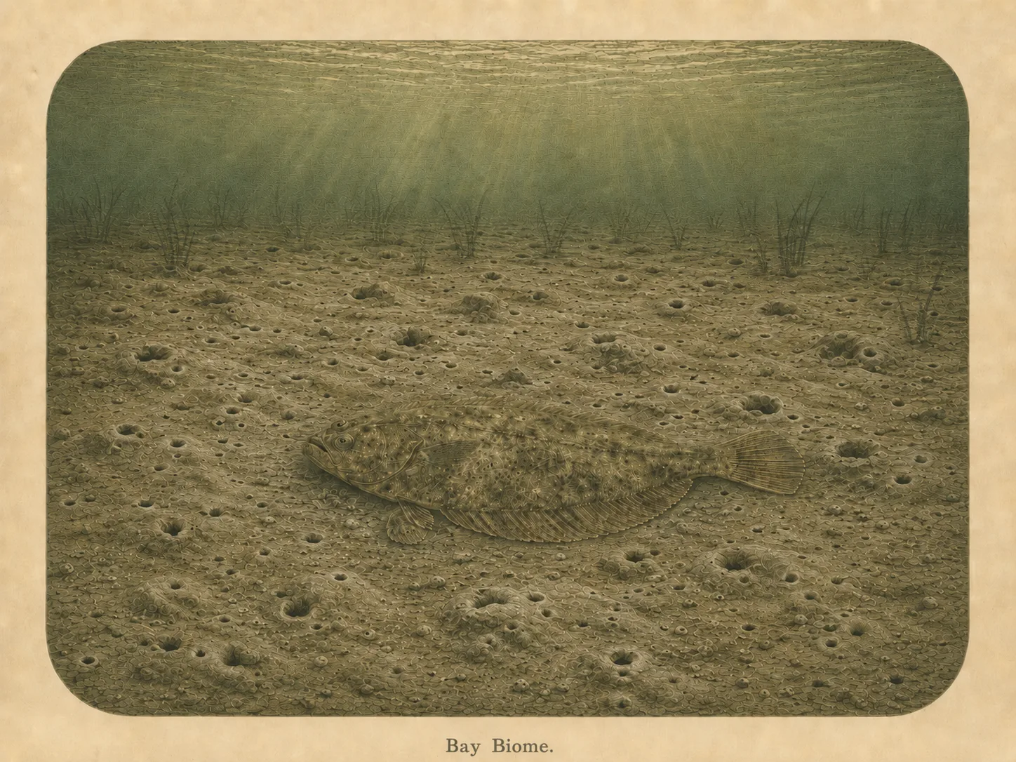
Bay
The bay biome is sheltered, low-energy water behind a jetty, headland, or harbor mouth. Reduced wave action lets fine sediment settle out and supports calm-water species and the juveniles that shelter there. Learn more about this biome and the species found in it by clicking the link below.
Learn more in the Biome GlossarySnorkel Species Report
Nearby beaches
Gain the Power
of the Oracle.
Ocean Oracle sees the future. Get 7-day visibility forecasts for every beach, plus alerts the night before clarity peaks — so you never miss a prime day.
Free shows you what the ocean looks like today. Ocean Oracle shows you the week ahead and the fish waiting for you down there.
Visibility predictions for the entire week ahead at any beach. Plan dives, schedule charters, book trips — without guessing.
The night before any beach hits prime conditions, Ocean Oracle pings your phone. Wake up knowing exactly where to go.
Track your favorite beaches in one place. Forecasts and alerts for everywhere you dive.
For every beach: what species are there, when they show up, and how to target them. Built by spearos, for spearos.
See the future. Dive on the right days.