
Mission Point Park
Mission Beach · San Diego County · California


Visibility Breakdown
Visibility by position
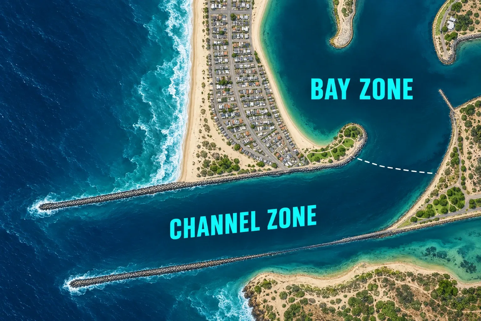
Bay: The calm, shallow water on the bay side of the point, along the rock riprap. Most snorkeling happens here, and it is the number the page headlines.
Channel: The Mission Bay entrance channel off the point. San Diego Municipal Code section 63.25.5 makes it unlawful to swim or dive in the channel or from the breakwaters beside it.
Through the day
Today's visibility readings at this spot, shown at the hour each one was taken.
Every bar is a reading for the Bay zone.
This chart shows measured diver reports only.
Did you dive today?Please share the visibility to make our algorithm more accurate.
Report visibility
Coastal Bulletin
About Mission Point Park



Today's forecast
Reported by a trusted diver · October 10, 20267-Day Forecast
Map · getting there
32.761° N · 117.247° W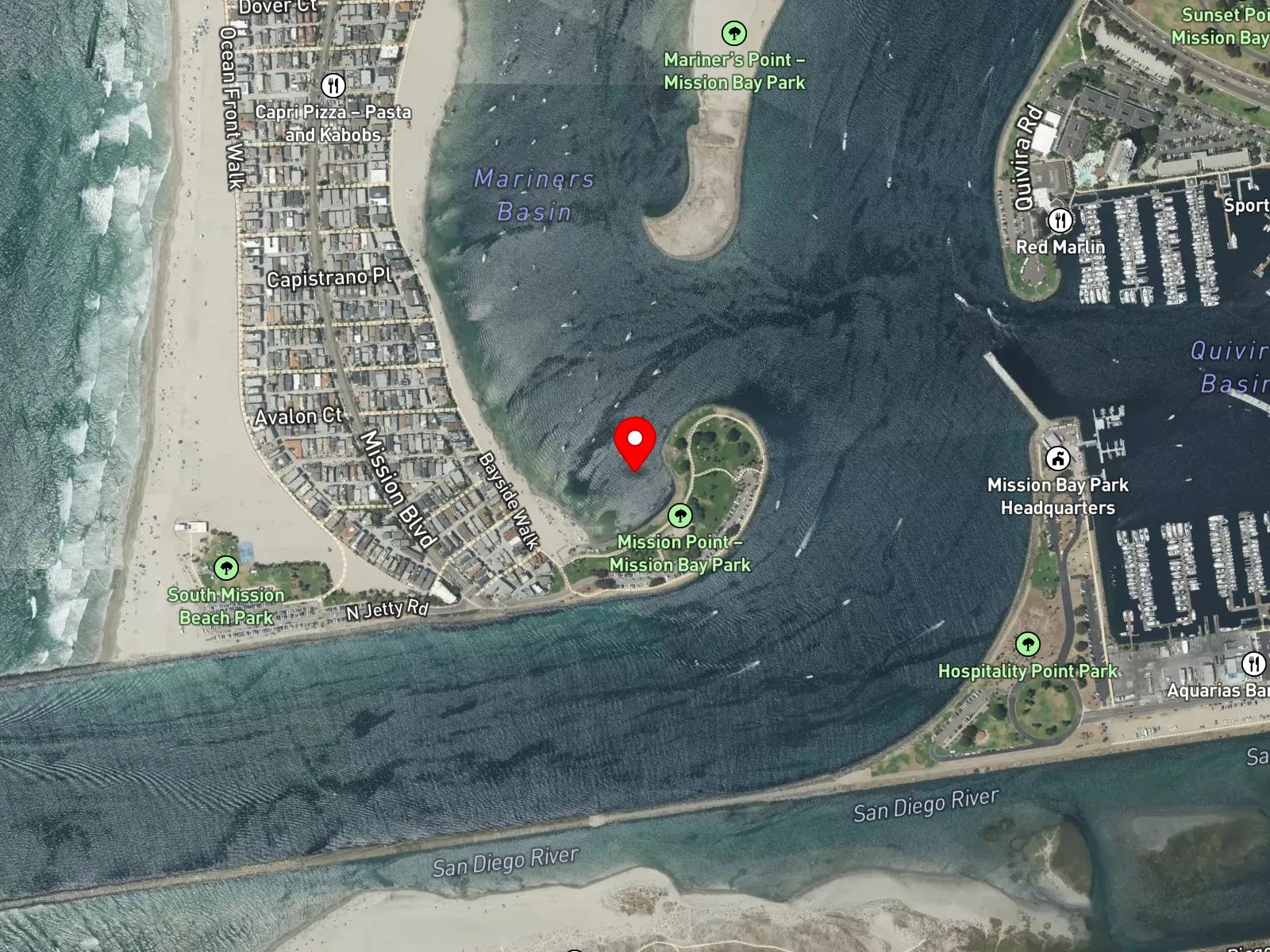
San Diego, CA 92109
 Open in Google Maps
 Open in Apple Maps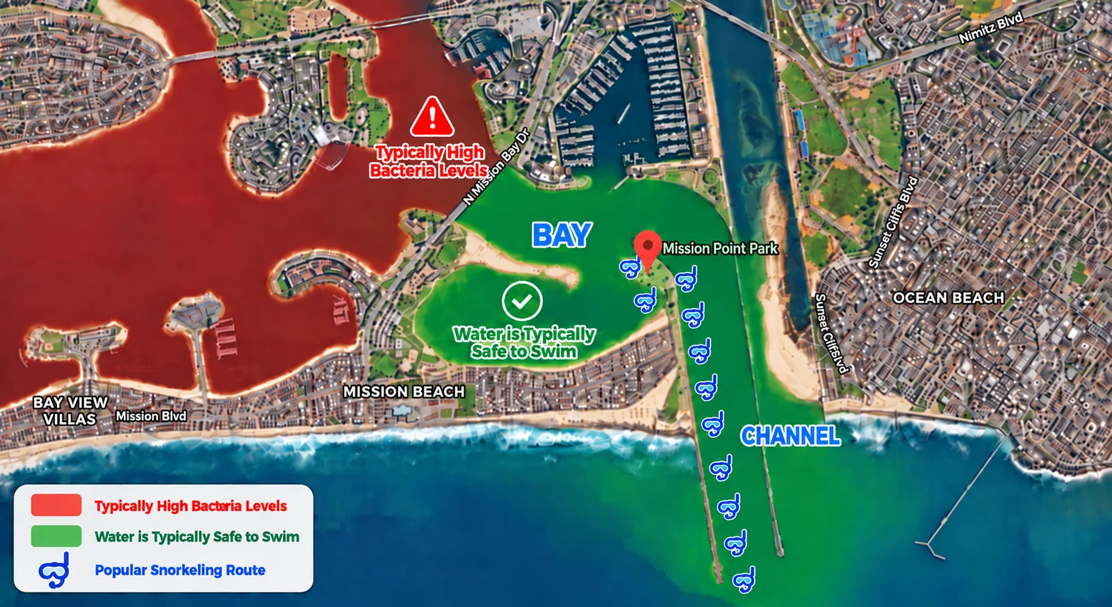
The water farther back in Mission Bay, away from the entrance channel, often tests high for bacteria.
The green zone is the part of the bay that stays well circulated, because fresh ocean water flows in through the entrance channel all the time.
The snorkel masks mark a popular snorkeling route.
San Diego Municipal Code section 63.25.5 makes it unlawful to swim or dive in the entrance channel itself or from the breakwaters beside it.
About Mission Point Park
Mission Point Park is a city park at the south end of Mission Boulevard in San Diego, on the point where the Mission Beach peninsula meets the Mission Bay entrance channel. The park is part of Mission Bay Park and has a comfort station with showers, a playground, picnic tables, fire rings, and a jogging and bike path. Parking is free, the park is open from 4 a.m. to 2 a.m., and the lot gates close at 10 p.m. No lifeguard watches the water.
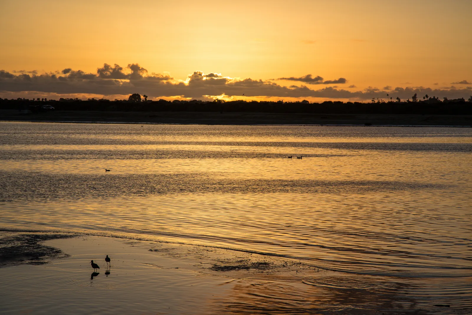
The water on the bay side of the point is calm and shallow, which places Mission Point Park in the bay biome. Rock riprap lines the edge of the point, and the rocky reef biome follows that rock at about 15 feet.
Snorkelers enter from the sand on the bay side and follow the riprap, which also keeps them clear of the boats. Visibility is usually best at high slack tide. The channel side of the point carries heavy boat traffic, currents pick up when the tide turns, and fishing lines are common along the rocks.
Mission Point Park sits outside any marine protected area, so fishing and spearfishing follow standard California regulations. San Diego Municipal Code section 63.25.5 makes it unlawful to swim, dive, or play in the Mission Bay ocean channel or on or from the breakwaters next to it, and section 63.20.18 bars a cocked or armed fishing spear gun in any public swimming area or within 50 feet of a swimmer.
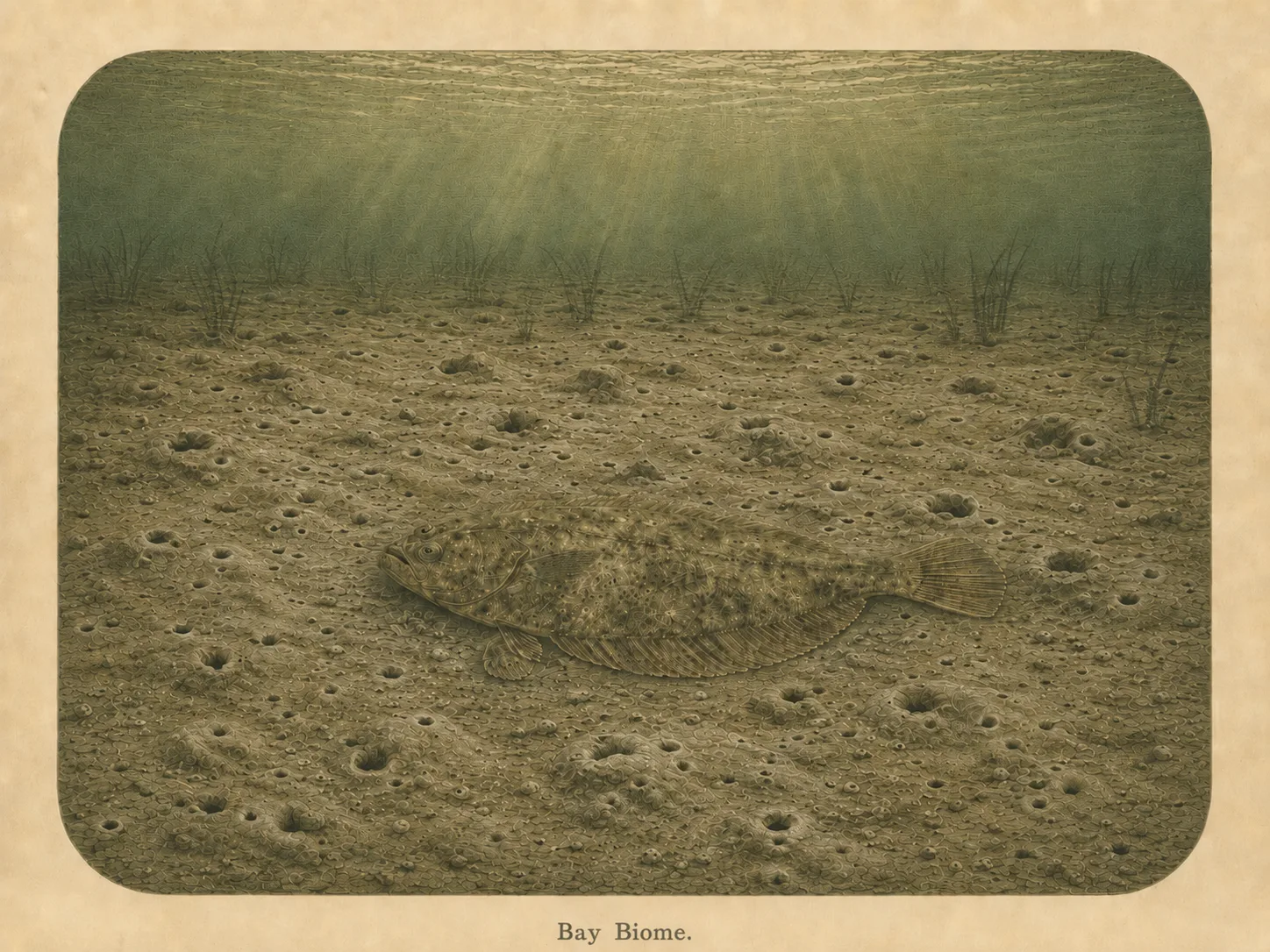
Bay
The bay biome is sheltered, low-energy water behind a jetty, headland, or harbor mouth. Reduced wave action lets fine sediment settle out and supports calm-water species and the juveniles that shelter there. Learn more about this biome and the species found in it by clicking the link below.
Learn more in the Biome Glossary
Rocky Reef
The rocky reef biome is bare rock, boulder, and cobble structure without a kelp canopy above it. The hard relief and its crevices shelter invertebrates and reef fish, and the structure concentrates life that the surrounding sand cannot hold. Learn more about this biome and the species found in it by clicking the link below.
Learn more in the Biome GlossarySnorkel Species Report
The fish found at Mission Point Park are being researched for the Ichthyopedia. This section fills in as species are mapped to this beach.
Browse the Ichthyopedia →Spot strategies
Nearby beaches
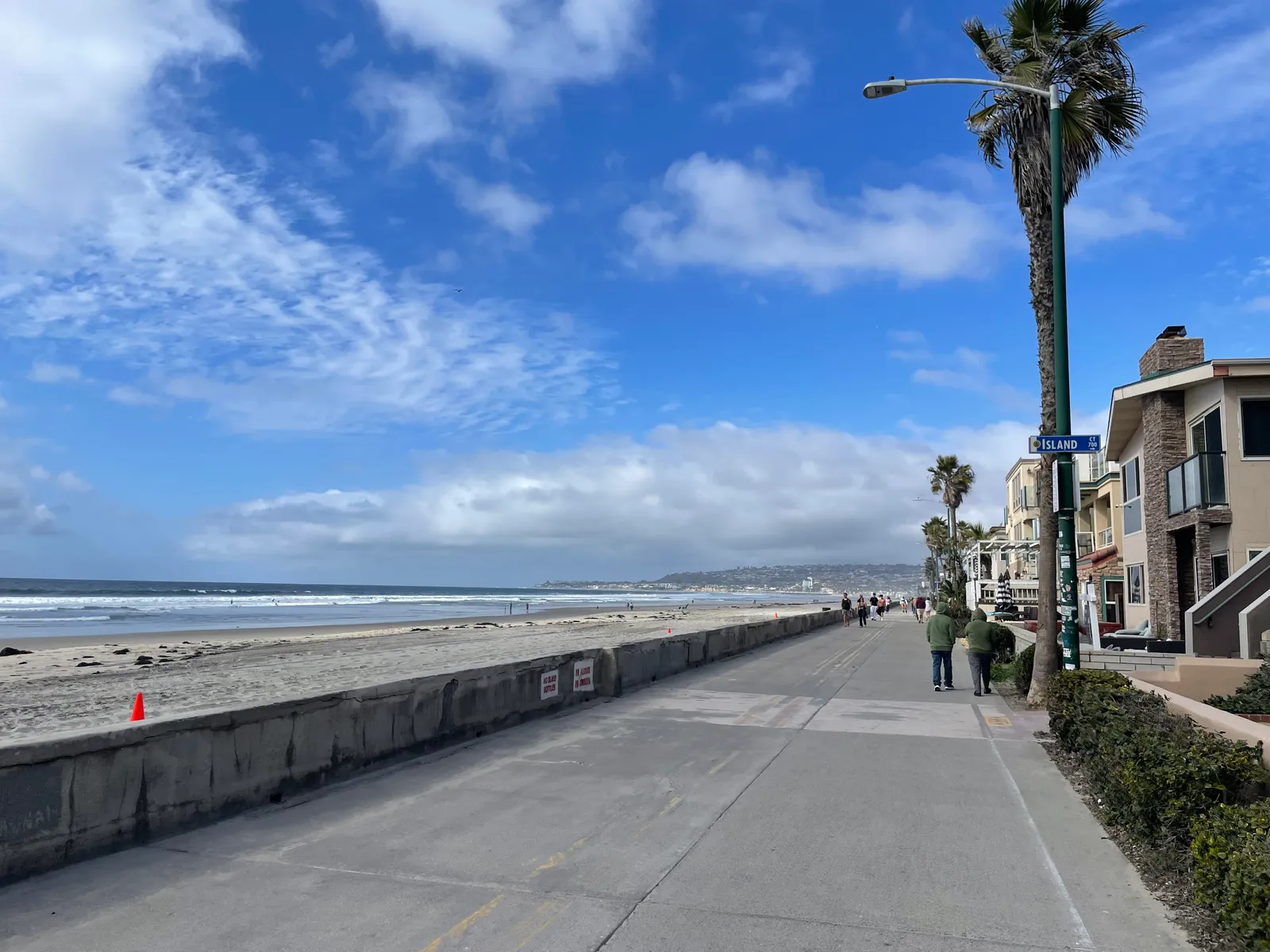
 Surf Zone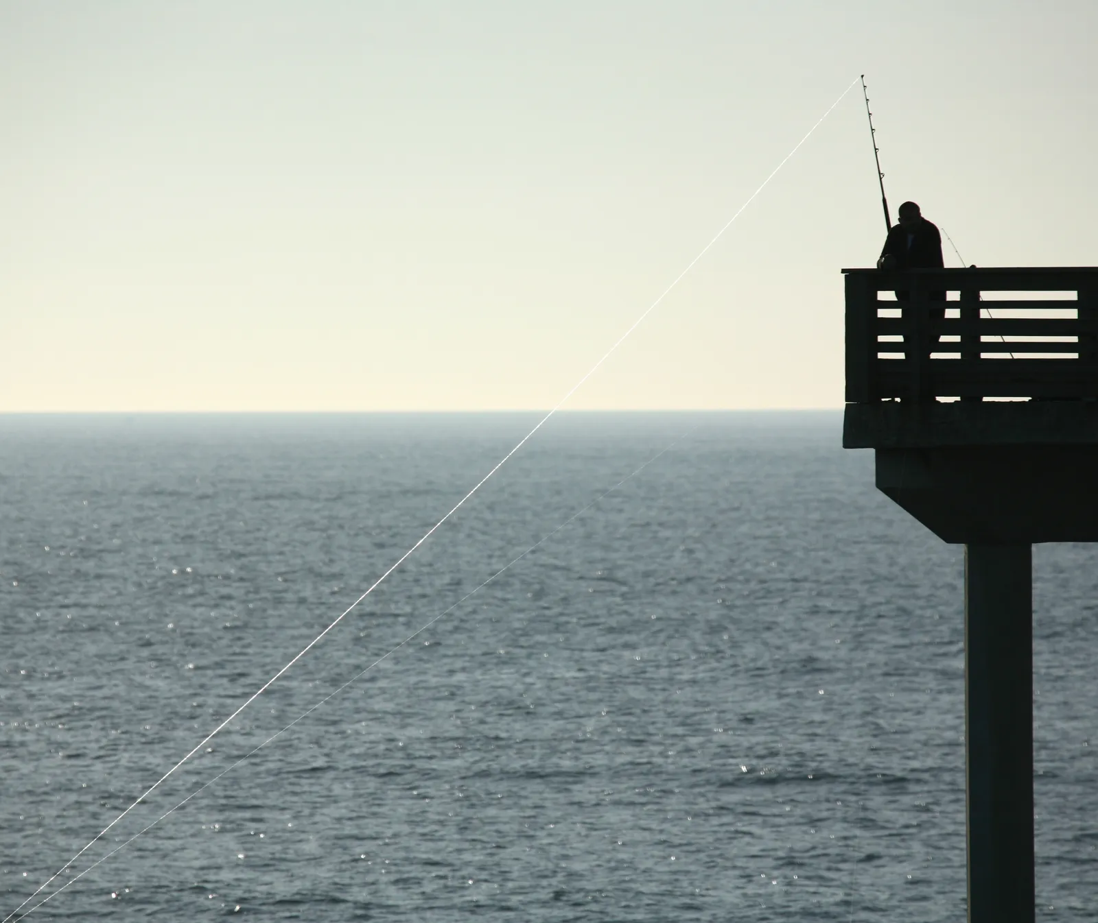
 Ocean Oracle Pro
Gain the Power
of the Oracle.
Ocean Oracle sees the future. Get 7-day visibility forecasts for every beach, alerts when a prime day is coming, and a dive log that remembers every dive.
Free shows you what the ocean looks like today. Ocean Oracle shows you the week ahead, watches your beaches for you, and remembers every dive.
Visibility predictions for the entire week ahead at any beach. Plan dives, schedule charters, and book trips without guessing.
When a beach on your watchlist is running good water, or the week ahead shows a good day coming, Ocean Oracle emails you. A prime window never slips past.
Every entry freezes that day's report: visibility, tide, swell, wind. Log catches, stamp Personal Bests, level up your guns, and light up your species life list.
The Coastal Bulletin greets members with the clearest water on the coast today and their own watchlist, before a single click.
Track your favorite beaches in one place. Forecasts and alerts for everywhere you dive.
A members-only board on every beach where taking fish is legal: how other members hunt the spot, with the gear, tide, season, and target species. Post your own and earn XP.
See the future. Dive on the right days.