
Rincon Point
Rincon Point · Ventura County · California

Did you dive today?Please share the visibility to make our algorithm more accurate.
Report visibilityToday's forecast
Updated 10:00 AM PT today · July 28, 2026Dawn is the clearest window — onshore wind picks up by late morning and surface chop stirs the bottom through the afternoon.
7-Day Forecast
Map · getting there
34.378° N · 119.482° W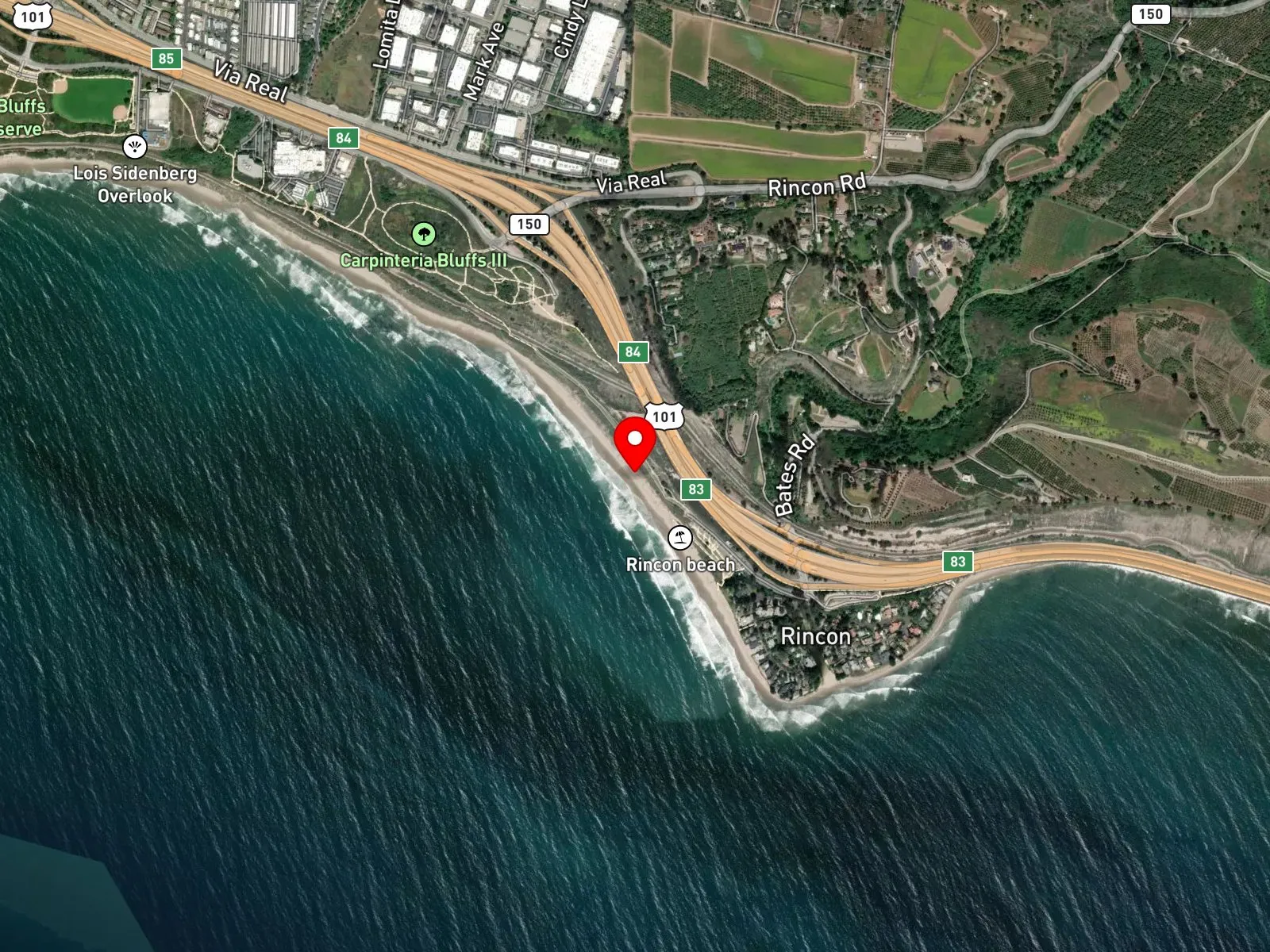
Ventura, CA 93001
About Rincon Point
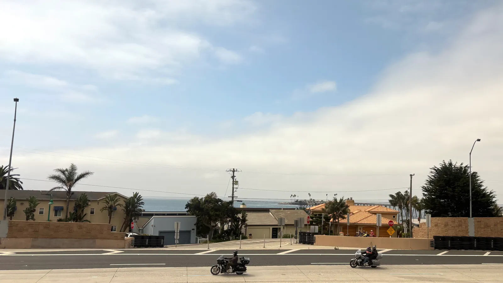
Rincon Point sits on the Santa Barbara and Ventura County line, where Rincon Creek runs out across a long cobble shoreline and meets a shallow rocky point. The Ventura County portion takes in the point itself and the cove that wraps south toward Mussel Shoals. The bottom here is cobble and boulder rather than sand, and it slopes gradually into open, exposed water. Three named surf sections run across the point: the Cove on the inside, the Rivermouth at the creek outlet, and Indicator on the outside. Access splits across two lots at the Bates Road exit off Highway 101. The upper lot belongs to Rincon Beach Park on the Santa Barbara County side and has restrooms and a picnic area. The lower lot sits on the Ventura County side at the base of the bluff and gives the most direct path to the point.
The cobble and boulder shoreline with breaking waves makes the entry a surf zone biome. The shallow rocky point and the cobble structure in the cove form a rocky reef biome in patches, with no kelp canopy on top.
Surfing is the dominant activity at Rincon Point, and the break itself is a well-known point setup. Shore anglers work the cobble for surfperch, and a small number of spearfishers work the rocks at the point on calm days. The surf rarely allows clear shore entries, and the offshore reef structure is limited, so snorkeling and scuba are uncommon.
Both lots fill before sunrise on a real swell. Fishing and spearfishing are legal here under standard California regulations. No state marine protected area covers this stretch of coast.

Surf Zone
The surf zone biome consists of sandy beaches and breaking waves. The action of surf disturbing the sand and kicking it up exposes marine invertebrates, buried in their shallow dens. This natural exposure of invertebrates attracts all kinds of fish, looking for an easy meal. Learn more about this biome and the species found in it by clicking the link below.
Learn more in the Biome Glossary
Rocky Reef
The rocky reef biome is bare rock, boulder, and cobble structure without a kelp canopy above it. The hard relief and its crevices shelter invertebrates and reef fish, and the structure concentrates life that the surrounding sand cannot hold. Learn more about this biome and the species found in it by clicking the link below.
Learn more in the Biome GlossaryTarget Fish Species
Nearby beaches

Gain the Power
of the Oracle.
Ocean Oracle sees the future. Get 7-day visibility forecasts for every beach, plus alerts the night before clarity peaks — so you never miss a prime day.
Free shows you what the ocean looks like today. Ocean Oracle shows you the week ahead and the fish waiting for you down there.
Visibility predictions for the entire week ahead at any beach. Plan dives, schedule charters, book trips — without guessing.
The night before any beach hits prime conditions, Ocean Oracle pings your phone. Wake up knowing exactly where to go.
Track your favorite beaches in one place. Forecasts and alerts for everywhere you dive.
For every beach: what species are there, when they show up, and how to target them. Built by spearos, for spearos.
See the future. Dive on the right days.