
Point Mugu Beach
Point Mugu · Ventura County · California

Did you dive today?Please share the visibility to make our algorithm more accurate.
Report visibilityToday's forecast
Updated 10:00 AM PT today · July 28, 2026Dawn is the clearest window. A late-morning onshore builds surface chop and gives up a few feet by the afternoon.
7-Day Forecast
Map · getting there
34.086° N · 119.060° W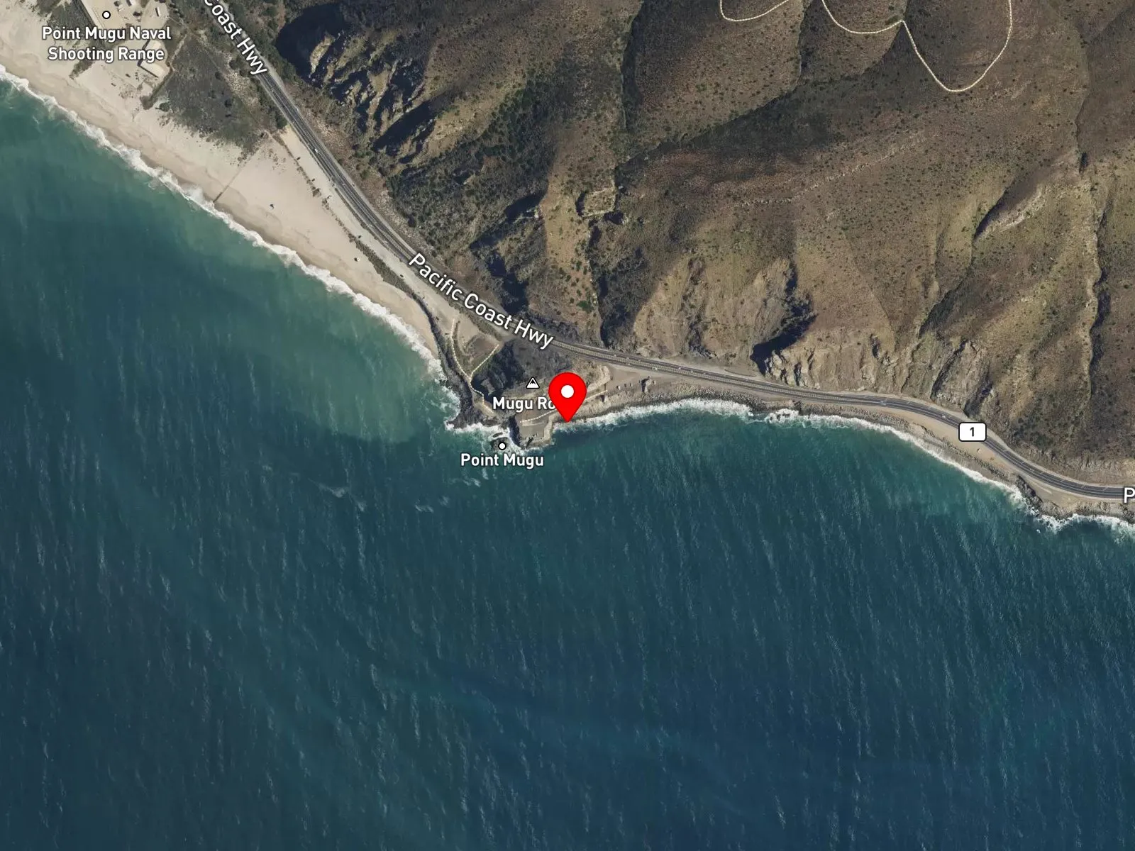
Point Mugu, CA 93042
About Point Mugu Beach
Point Mugu Beach sits at the base of Mugu Rock inside Point Mugu State Park, 15 miles south of Oxnard on Pacific Coast Highway. Mugu Rock is a distinct coastal promontory that rises straight from the highway shoulder, and the beach below it runs about a third of a mile along a boulder and cobble shoreline. It marks the northern end of the five-mile state-park coast. Reaching the water means picking a path across boulders and rocks, which can make the entry slow. The point at the base of the rock occasionally throws a right-hand break with tube sections on strong west and northwest swells, but the same boulders that shape the wave are a real hazard to anyone riding it.
The boulder and cobble shoreline with its breaking waves is a surf zone biome. The exposed boulder structure at the base of Mugu Rock and the rocky shoreline running north from the beach form a rocky reef biome, reachable on foot at low tide and by short swim once the water rises.
Anglers work the boulder shoreline for surfperch, and the headland is a common point for watching migrating gray whales and other marine wildlife. The rough entry limits surfing at the point and keeps snorkeling and scuba uncommon. A small number of divers and spearfishers reach the rocky structure on calm days.
The Mugu Beach lot inside Point Mugu State Park opens at 8 a.m., closes at sunset, and charges the standard state-park day-use fee. Limited free pullout parking lies along Pacific Coast Highway near Mugu Rock, with strict no-left-turn signage at the highway curve to manage traffic. Fishing and spearfishing are legal here under standard California regulations. No state marine protected area covers this section of the Point Mugu coast.

Surf Zone
The surf zone biome consists of sandy beaches and breaking waves. The action of surf disturbing the sand and kicking it up exposes marine invertebrates, buried in their shallow dens. This natural exposure of invertebrates attracts all kinds of fish, looking for an easy meal. Learn more about this biome and the species found in it by clicking the link below.
Learn more in the Biome Glossary
Rocky Reef
The rocky reef biome is bare rock, boulder, and cobble structure without a kelp canopy above it. The hard relief and its crevices shelter invertebrates and reef fish, and the structure concentrates life that the surrounding sand cannot hold. Learn more about this biome and the species found in it by clicking the link below.
Learn more in the Biome GlossaryTarget Fish Species
Nearby beaches
Gain the Power
of the Oracle.
Ocean Oracle sees the future. Get 7-day visibility forecasts for every beach, plus alerts the night before clarity peaks — so you never miss a prime day.
Free shows you what the ocean looks like today. Ocean Oracle shows you the week ahead and the fish waiting for you down there.
Visibility predictions for the entire week ahead at any beach. Plan dives, schedule charters, book trips — without guessing.
The night before any beach hits prime conditions, Ocean Oracle pings your phone. Wake up knowing exactly where to go.
Track your favorite beaches in one place. Forecasts and alerts for everywhere you dive.
For every beach: what species are there, when they show up, and how to target them. Built by spearos, for spearos.
See the future. Dive on the right days.