
El Capitan State Beach
Santa Barbara · Santa Barbara County · California

Did you dive today?Please share the visibility to make our algorithm more accurate.
Report visibilityToday's forecast
Updated 10:00 AM PT today · July 28, 2026Dawn is the clearest window — onshore wind picks up by late morning and surface chop stirs the bottom through the afternoon.
7-Day Forecast
Map · getting there
34.459° N · 120.025° W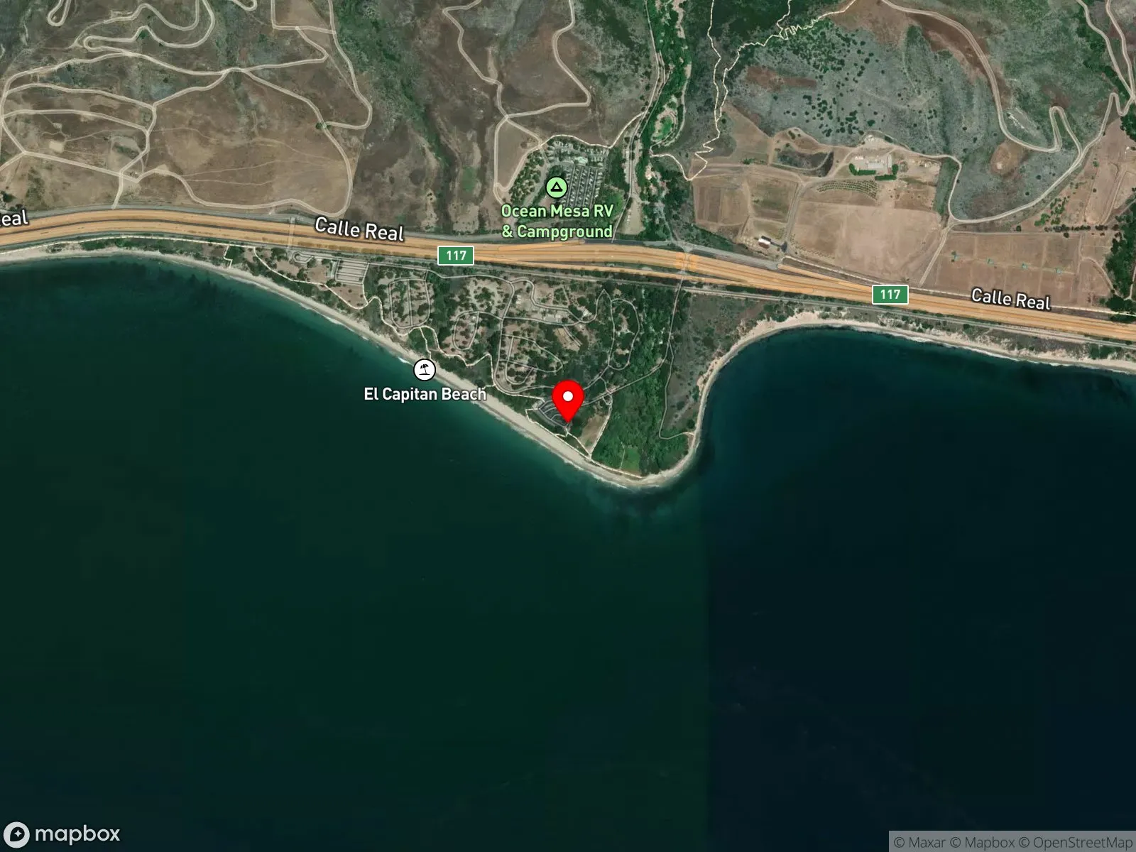
About El Capitan State Beach
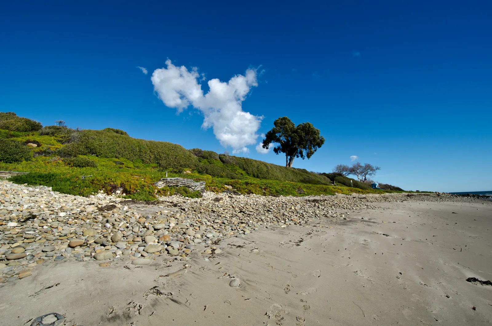
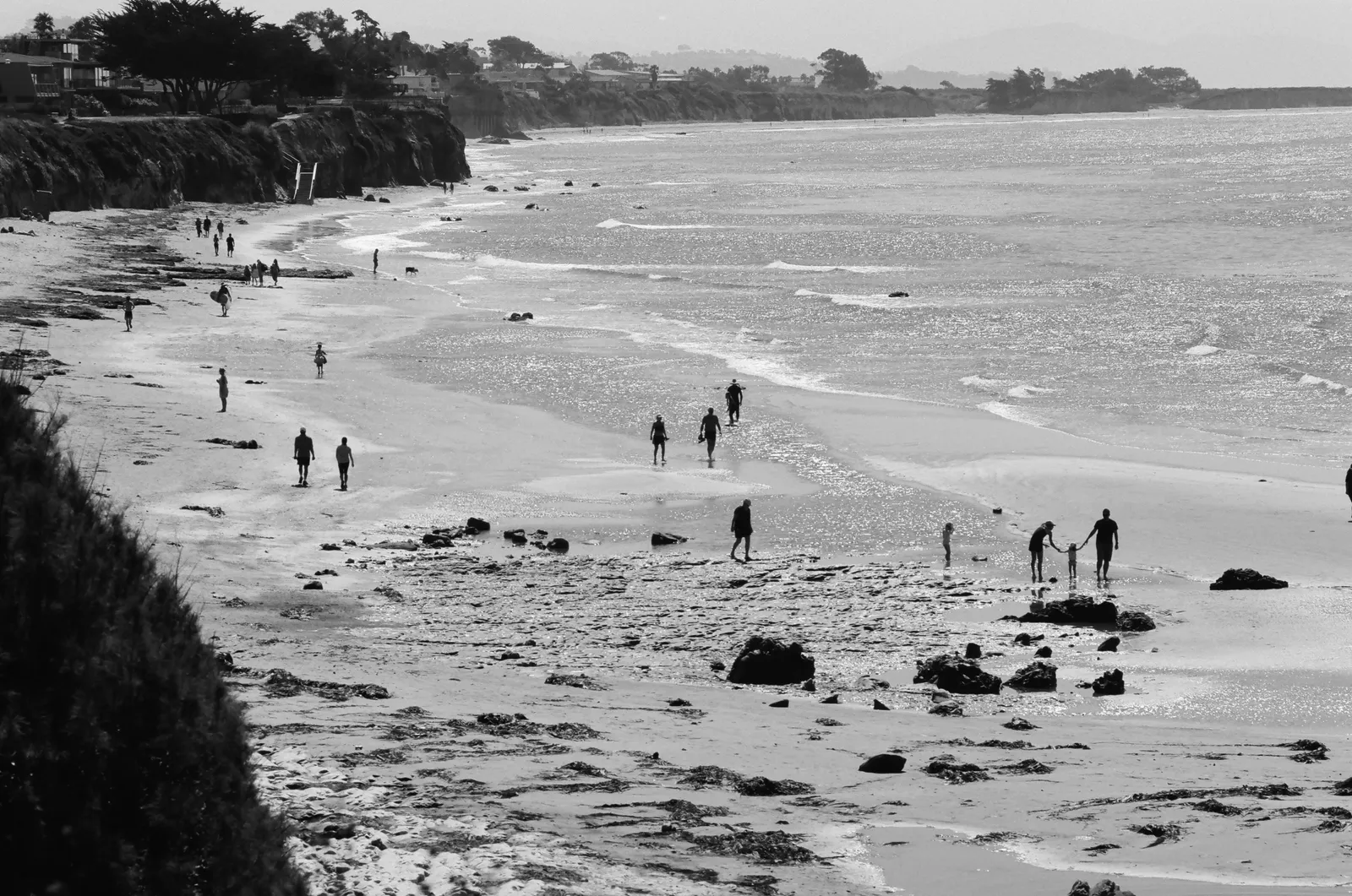
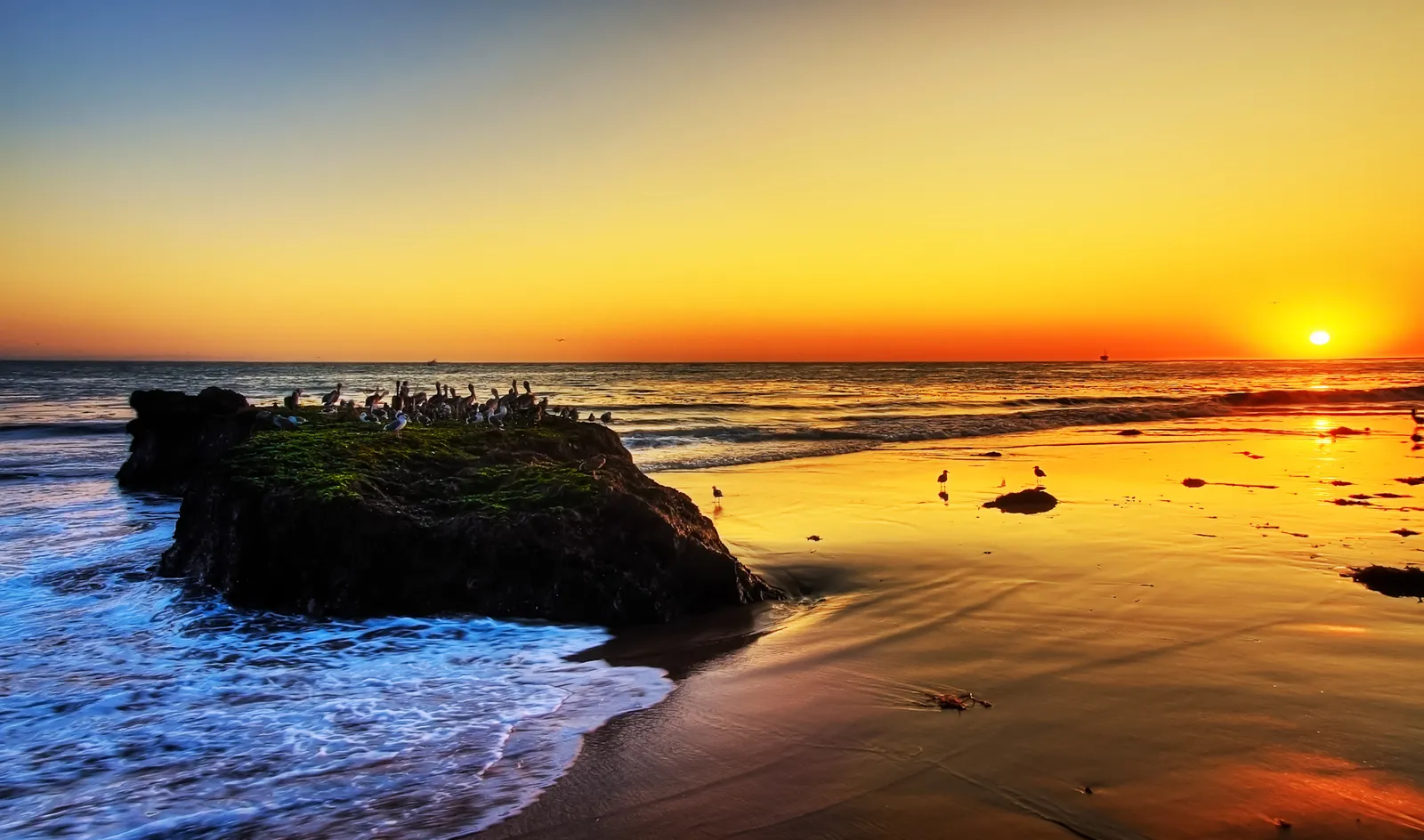
El Capitan State Beach sits 17 miles west of Santa Barbara at Exit 117 off Highway 101, and the campground is the reason most people come. More than 100 sites run along the bluff under sycamores and oaks shading El Capitan Creek, and a week here in summer is a generational ritual for many Santa Barbara families. The shoreline is mostly sand. At the east end of the park, where the creek meets the ocean, a rocky point pushes out into the water, and when the creek is flowing in winter and spring it pools into a small lagoon at the mouth. The tide pools around the point reward a slow walk at low tide.
The right-hand point break off the rocks is a well-known longboard wave on this stretch of coast. The entry is over rock and the takeoff is committing, which keeps the wave to experienced surfers. Past the surf line at the east end, the reef holds structure worth working for divers. Spearfishing and snorkeling are productive around the east-end rocks on calm days. Scuba is occasional, and shore fishing from the cobble is common.
Most of the beach is open sand with breaking waves along its full length, so the spot is a surf zone biome. At the east-end point, the rocky structure is a separate section of hard bottom distinct from the offshore sand, which is why the spot also carries the rocky reef biome.
The park may be closed to vehicles and camping for the El Capitan Entrance Improvement Project, with pedestrian access only; current access status should be verified with California State Parks before driving out. When the gates are open, day-use is $10, 8 a.m. to sunset. The creek mouth is best avoided after heavy rain, when bacteria counts spike where the freshwater meets the surf. Fishing and spearfishing are legal here under standard California regulations.

Surf Zone
The surf zone biome consists of sandy beaches and breaking waves. The action of surf disturbing the sand and kicking it up exposes marine invertebrates, buried in their shallow dens. This natural exposure of invertebrates attracts all kinds of fish, looking for an easy meal. Learn more about this biome and the species found in it by clicking the link below.
Learn more in the Biome Glossary
Rocky Reef
The rocky reef biome is bare rock, boulder, and cobble structure without a kelp canopy above it. The hard relief and its crevices shelter invertebrates and reef fish, and the structure concentrates life that the surrounding sand cannot hold. Learn more about this biome and the species found in it by clicking the link below.
Learn more in the Biome GlossaryTarget Fish Species
Nearby beaches
Gain the Power
of the Oracle.
Ocean Oracle sees the future. Get 7-day visibility forecasts for every beach, plus alerts the night before clarity peaks — so you never miss a prime day.
Free shows you what the ocean looks like today. Ocean Oracle shows you the week ahead and the fish waiting for you down there.
Visibility predictions for the entire week ahead at any beach. Plan dives, schedule charters, book trips — without guessing.
The night before any beach hits prime conditions, Ocean Oracle pings your phone. Wake up knowing exactly where to go.
Track your favorite beaches in one place. Forecasts and alerts for everywhere you dive.
For every beach: what species are there, when they show up, and how to target them. Built by spearos, for spearos.
See the future. Dive on the right days.