
Spooner's Reef
San Luis Obispo · San Luis Obispo County · California
Did you dive today?Please share the visibility to make our algorithm more accurate.
Report visibilityToday's forecast
Updated 10:00 AM PT today · July 28, 2026The clarity holds through the day, with a light afternoon onshore the only disturbance to the entry shallows.
7-Day Forecast
Map · getting there
35.275° N · 120.912° W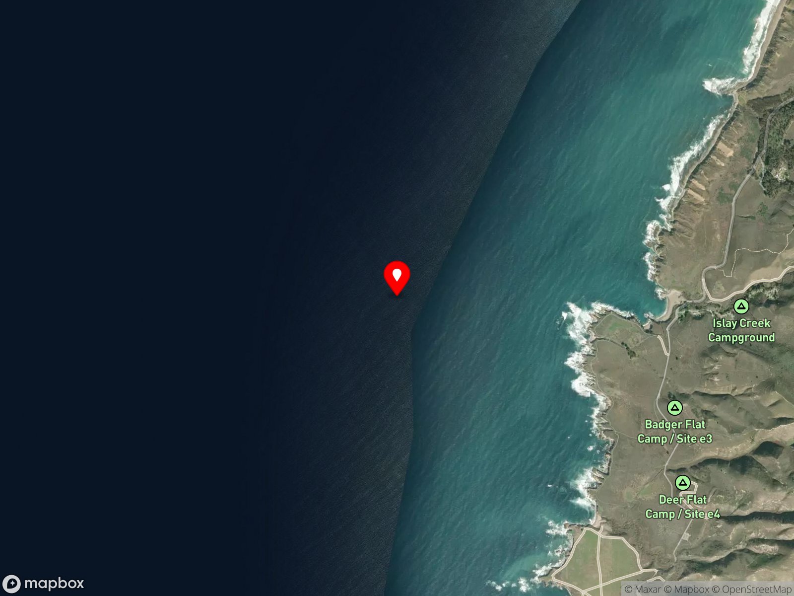
San Luis Obispo County, CA
About Spooner's Reef
Spooner's Reef is an offshore reef directly seaward of Spooner's Cove inside Montaña de Oro State Park, just north of the Point Buchon SMR boundary. The reef sits in roughly 30 to 60 feet of water under a thick bull kelp canopy that reaches the surface. The structural feature underwater is a series of diagonally stacked rock outcrops with macroalgae and invertebrates on the rock surfaces. Access is by small boat or kayak from Morro Bay Harbor or Port San Luis, and on calm days some divers launch a kayak from Spooner's Cove and paddle out.
The kelp here anchors on the rocky reef and grows up through the water column to the surface, giving the site a kelp forest biome that defines it. In the gaps between the kelp, the diagonally stacked rock outcrops show bare rock surfaces and crevices, which are a rocky reef biome. The open water around the structure, where larger fish and seasonal pelagic species transit, is a pelagic biome.
Scuba and spearfishing are the dominant activities, and the shallow depth combined with the kelp's swell-dampening effect makes Spooner's Reef forgiving for beginning boat divers. Spearfishing in the kelp is regular. Currents and swell sensitivity are moderate; the kelp tames most swell, but the site becomes uncomfortable on a building day.
There is no MPA at this site. Spooner's Reef sits north of the Point Buchon SMR boundary at 35.2542°N, so hook-and-line fishing and spearfishing are legal here under standard California regulations.
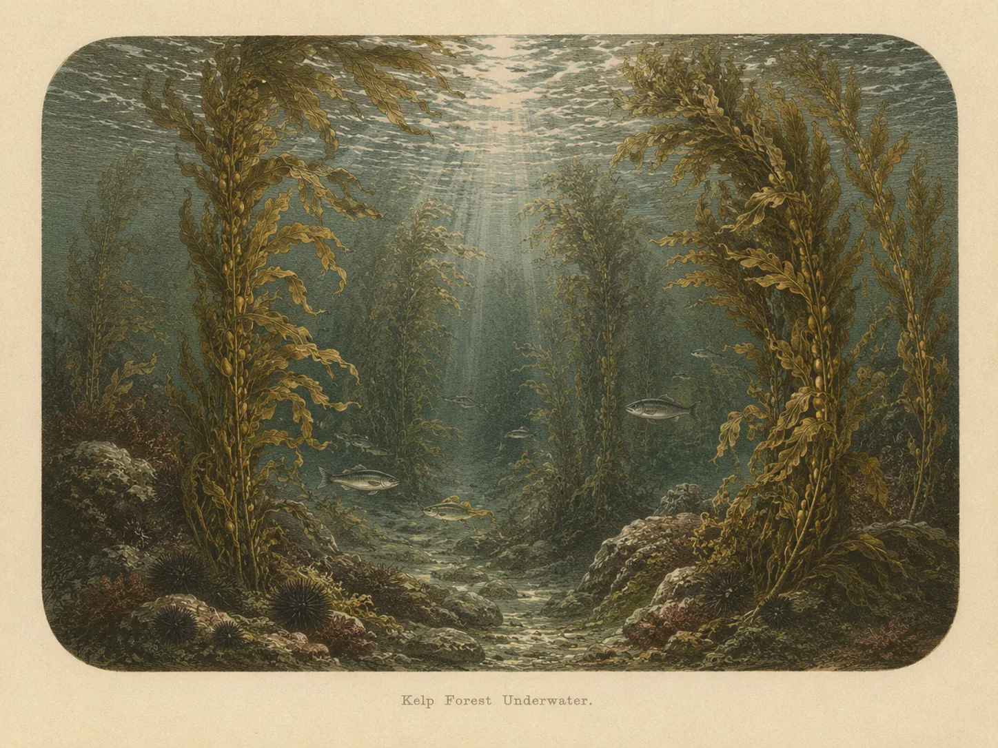
Kelp Forest
The kelp forest biome is giant kelp anchored to rocky bottom and growing up through the water column. The canopy and stipes form a three-dimensional habitat that shelters fish, invertebrates, and the predators that hunt them. Learn more about this biome and the species found in it by clicking the link below.
Learn more in the Biome Glossary
Rocky Reef
The rocky reef biome is bare rock, boulder, and cobble structure without a kelp canopy above it. The hard relief and its crevices shelter invertebrates and reef fish, and the structure concentrates life that the surrounding sand cannot hold. Learn more about this biome and the species found in it by clicking the link below.
Learn more in the Biome Glossary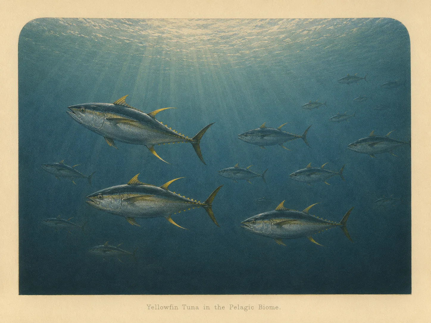
Pelagic
The pelagic biome is open water away from the bottom and from structure. It is the realm of fast, schooling fish and the large predators that follow them in from deeper water. Learn more about this biome and the species found in it by clicking the link below.
Learn more in the Biome GlossaryTarget Fish Species
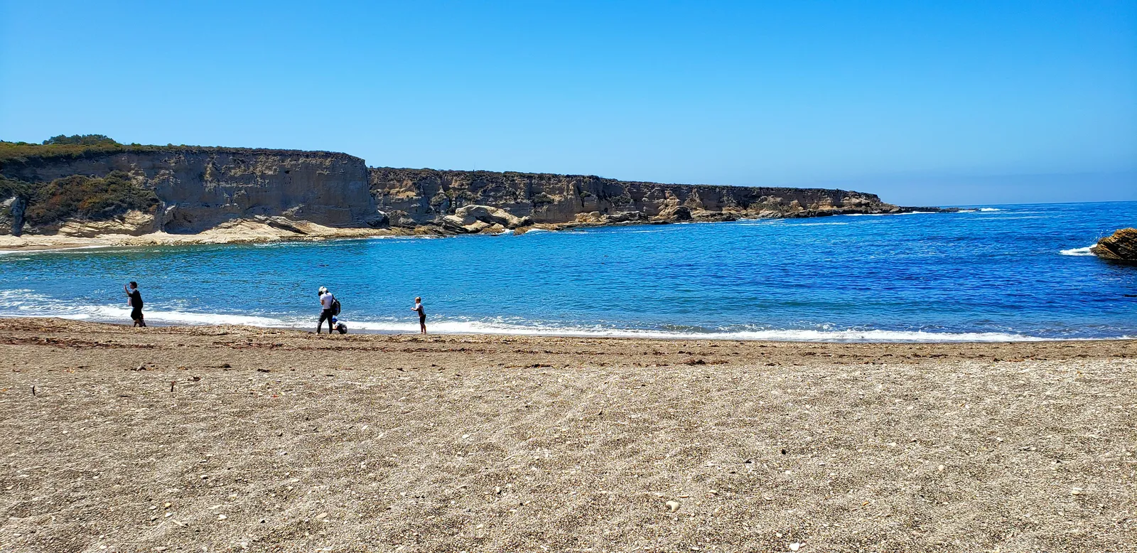
Nearby beaches
Gain the Power
of the Oracle.
Ocean Oracle sees the future. Get 7-day visibility forecasts for every beach, plus alerts the night before clarity peaks — so you never miss a prime day.
Free shows you what the ocean looks like today. Ocean Oracle shows you the week ahead and the fish waiting for you down there.
Visibility predictions for the entire week ahead at any beach. Plan dives, schedule charters, book trips — without guessing.
The night before any beach hits prime conditions, Ocean Oracle pings your phone. Wake up knowing exactly where to go.
Track your favorite beaches in one place. Forecasts and alerts for everywhere you dive.
For every beach: what species are there, when they show up, and how to target them. Built by spearos, for spearos.
See the future. Dive on the right days.