
Shell Beach
San Luis Obispo · San Luis Obispo County · California


Did you dive today?Please share the visibility to make our algorithm more accurate.
Report visibility

Today's forecast
Updated 10:00 AM PT today · July 28, 2026Dawn is the clearest window — onshore wind picks up by late morning and surface chop stirs the bottom through the afternoon.
7-Day Forecast
Map · getting there
35.162° N · 120.690° W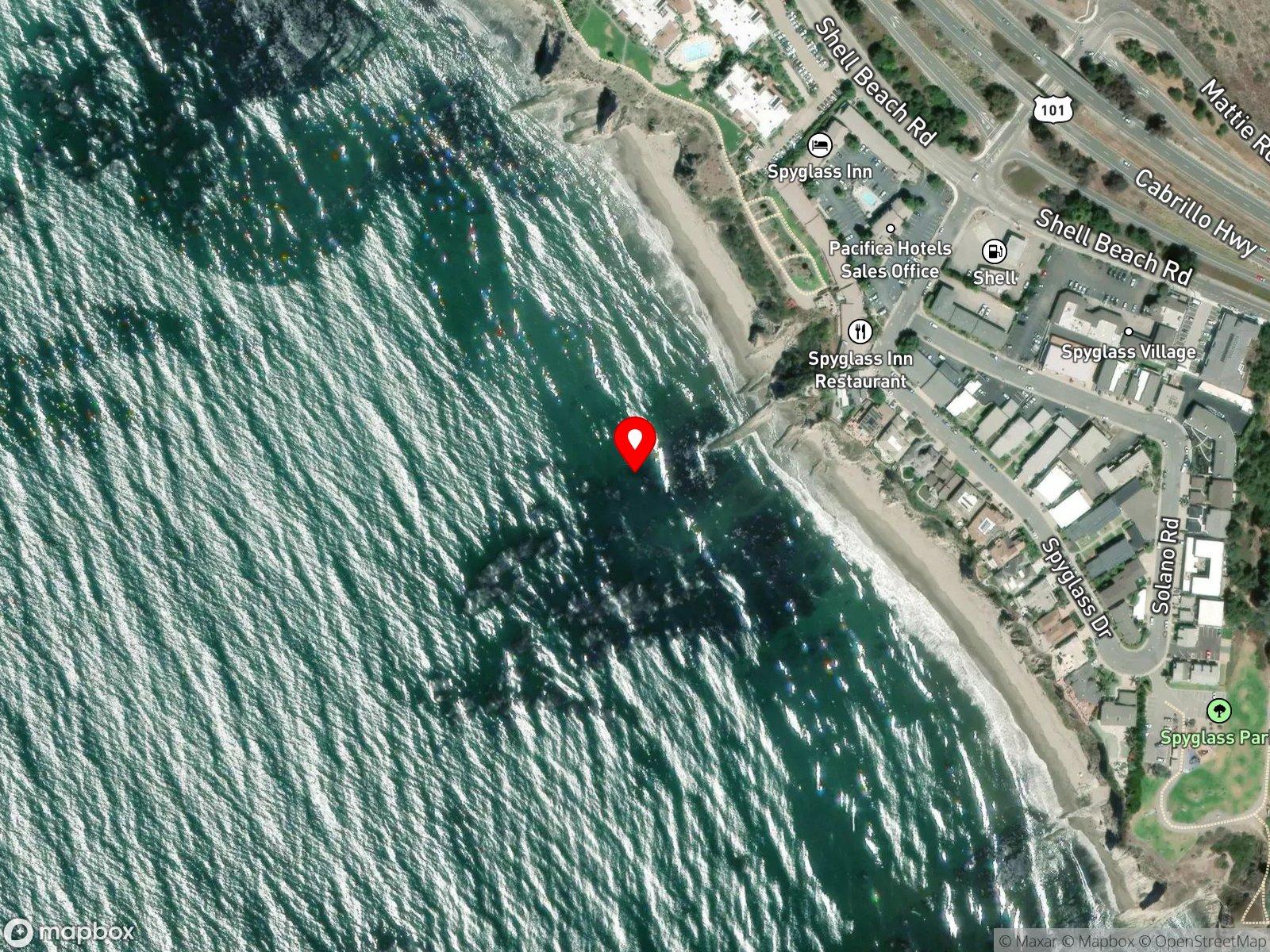
 Open in Google Maps
 Open in Apple Maps
About Shell Beach
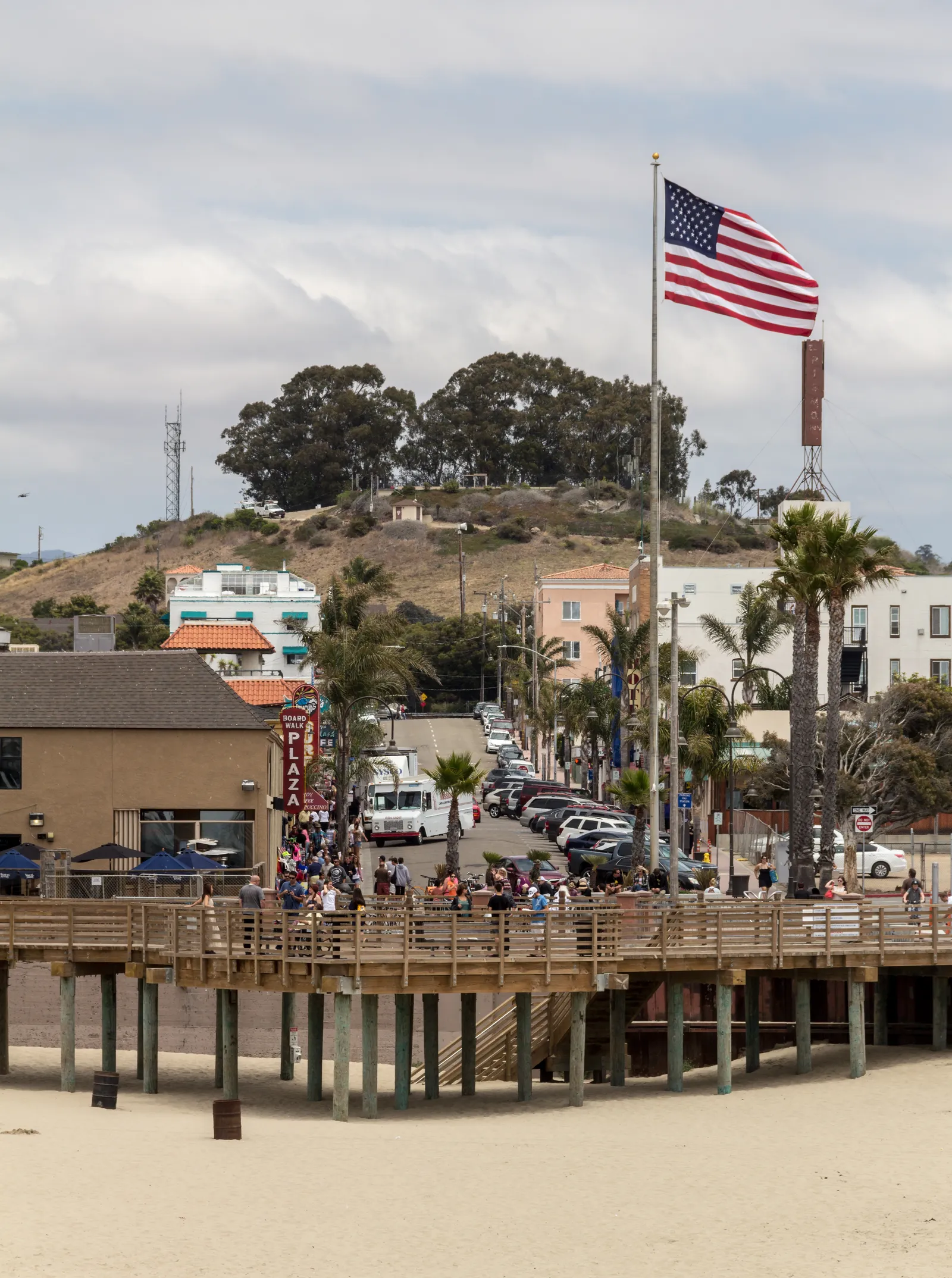
Shell Beach is a bluff-top residential neighborhood inside the city of Pismo Beach, running along Ocean Boulevard with stairway descents to a series of rocky coves at the base of the bluff. Margo Dodd Park sits directly above the main cove with a covered gazebo and ocean-view benches. Dinosaur Caves Park, immediately south, has paved paths and lookouts over a row of caves and arches in the cliff face. A small offshore islet with a natural rock arch and sea cave sits opposite Margo Dodd Park.
Cliff-backed cobble and exposed rock, low-tide tide pools at the base of the bluffs, and rocky structure extending several hundred feet offshore make the coastline a rocky reef biome. Between the rock walls, the small sand and cobble pocket beaches where waves break on the open shore are a surf zone biome.
Kayaking is the headline use. Rentals out of downtown Pismo Beach put paddlers within reach of the arches and caves under Dinosaur Caves Park on calm summer days. Snorkeling and tide-pooling are common, and hook-and-line fishing and spearfishing from the rocks both happen. Surfing is uncommon and there are no reports of shore-based scuba. The caves take direct surge on any swell. Fatalities have occurred when kayakers entered the caves on large days.
Free street parking is available along Ocean Boulevard near both Margo Dodd Park and Dinosaur Caves Park. Stairway access is at Wilmar Stairs, with additional descents at Boeker Avenue and Cuyama Avenue; the Pier Avenue stairs are closed indefinitely after structural failure. Fishing and spearfishing are legal here under standard California regulations.

Rocky Reef
The rocky reef biome is bare rock, boulder, and cobble structure without a kelp canopy above it. The hard relief and its crevices shelter invertebrates and reef fish, and the structure concentrates life that the surrounding sand cannot hold. Learn more about this biome and the species found in it by clicking the link below.
Learn more in the Biome Glossary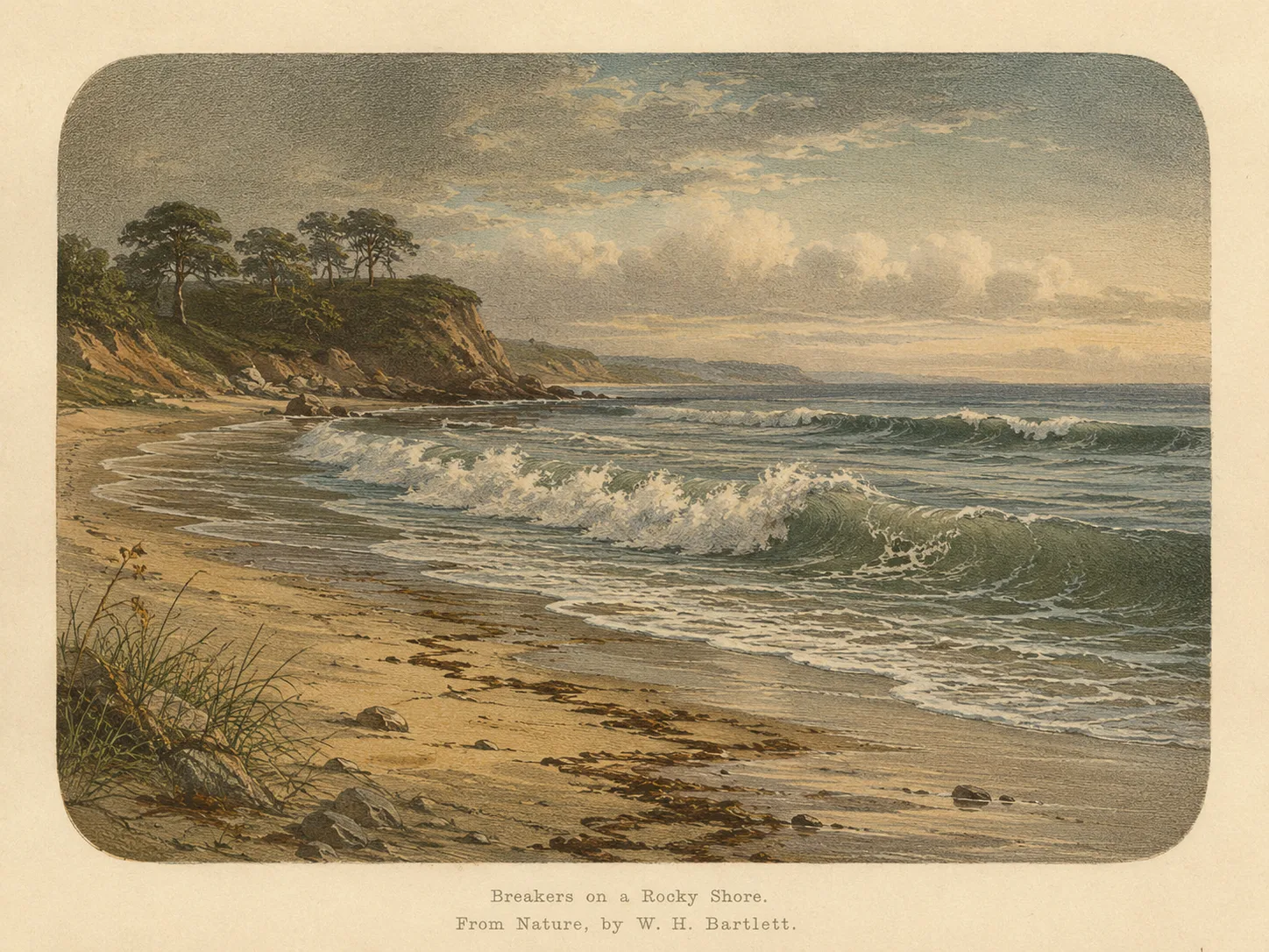
Surf Zone
The surf zone biome consists of sandy beaches and breaking waves. The action of surf disturbing the sand and kicking it up exposes marine invertebrates, buried in their shallow dens. This natural exposure of invertebrates attracts all kinds of fish, looking for an easy meal. Learn more about this biome and the species found in it by clicking the link below.
Learn more in the Biome GlossaryTarget Fish Species
Nearby beaches
 Bay
Bay Ocean Oracle Pro
Gain the Power
of the Oracle.
Ocean Oracle sees the future. Get 7-day visibility forecasts for every beach, plus alerts the night before clarity peaks — so you never miss a prime day.
Free shows you what the ocean looks like today. Ocean Oracle shows you the week ahead and the fish waiting for you down there.
Visibility predictions for the entire week ahead at any beach. Plan dives, schedule charters, book trips — without guessing.
The night before any beach hits prime conditions, Ocean Oracle pings your phone. Wake up knowing exactly where to go.
Track your favorite beaches in one place. Forecasts and alerts for everywhere you dive.
For every beach: what species are there, when they show up, and how to target them. Built by spearos, for spearos.
See the future. Dive on the right days.