
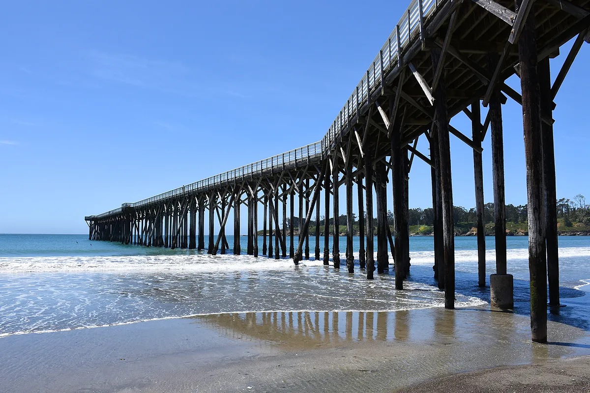
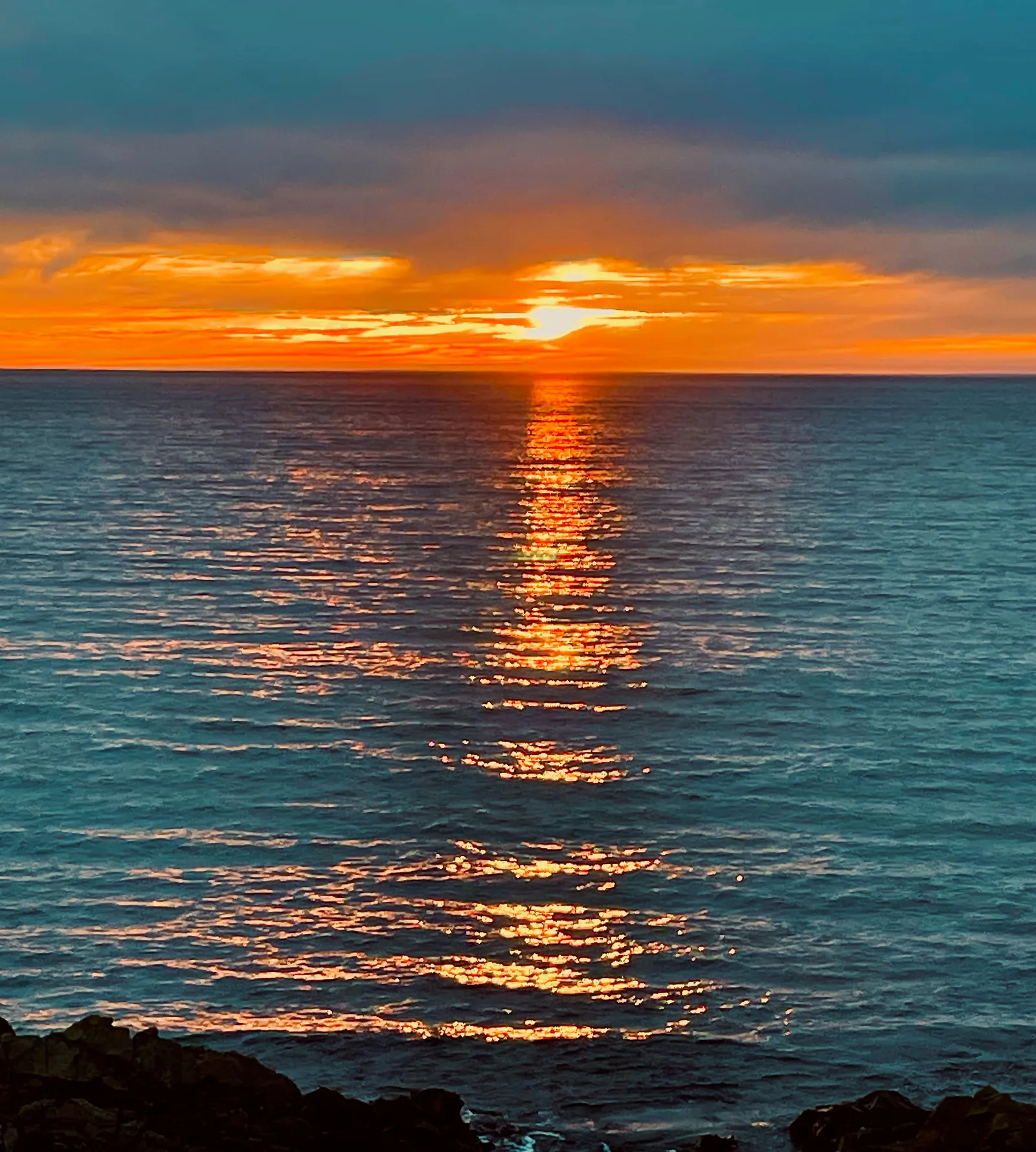
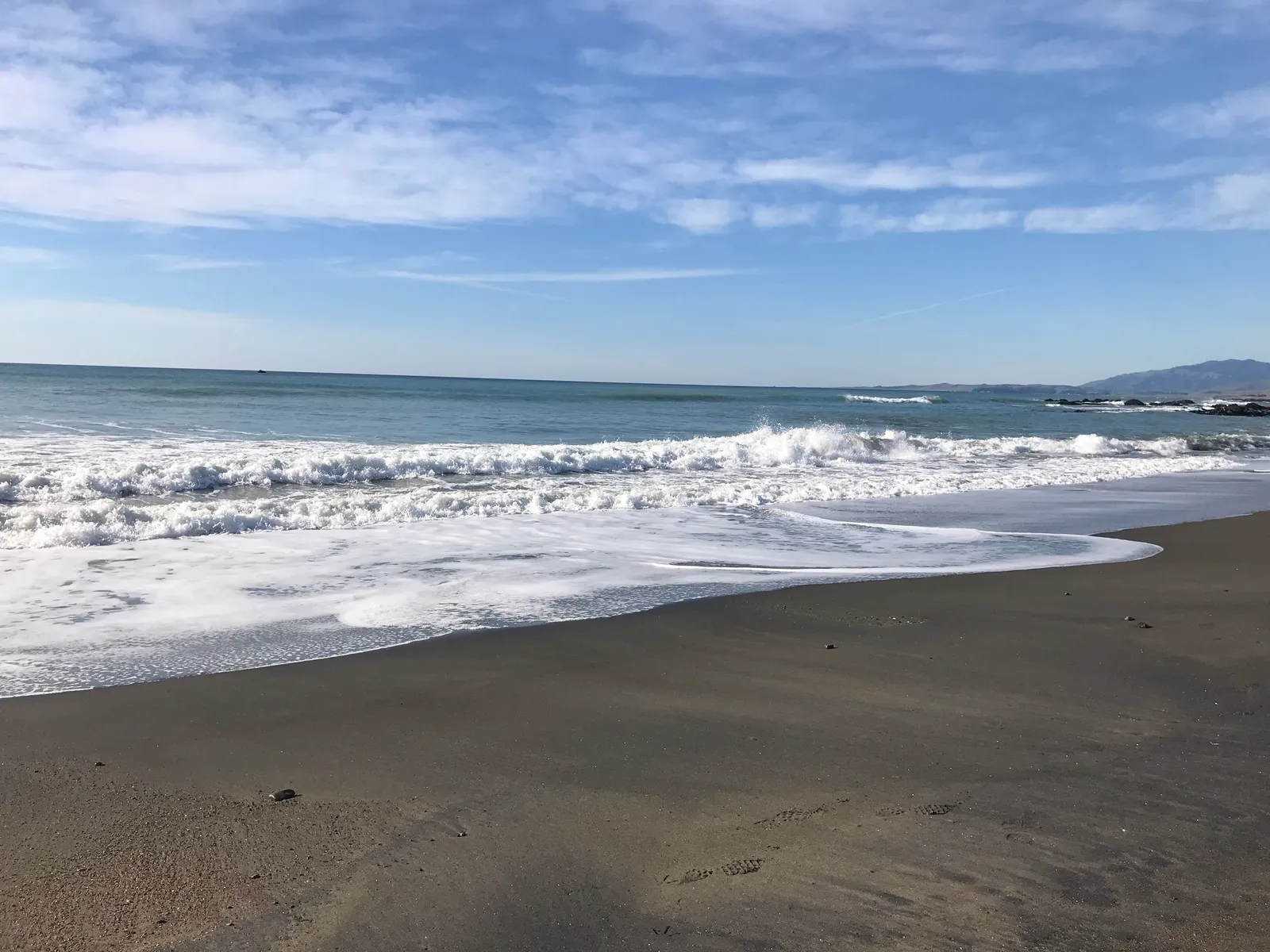
Ragged Point Beach
San Luis Obispo · San Luis Obispo County · California

Did you dive today?Please share the visibility to make our algorithm more accurate.
Report visibilityToday's forecast
Updated 10:00 AM PT today · July 28, 2026Dawn is the clearest window — onshore wind picks up by late morning and surface chop stirs the bottom through the afternoon.
7-Day Forecast
Map · getting there
35.778° N · 121.326° W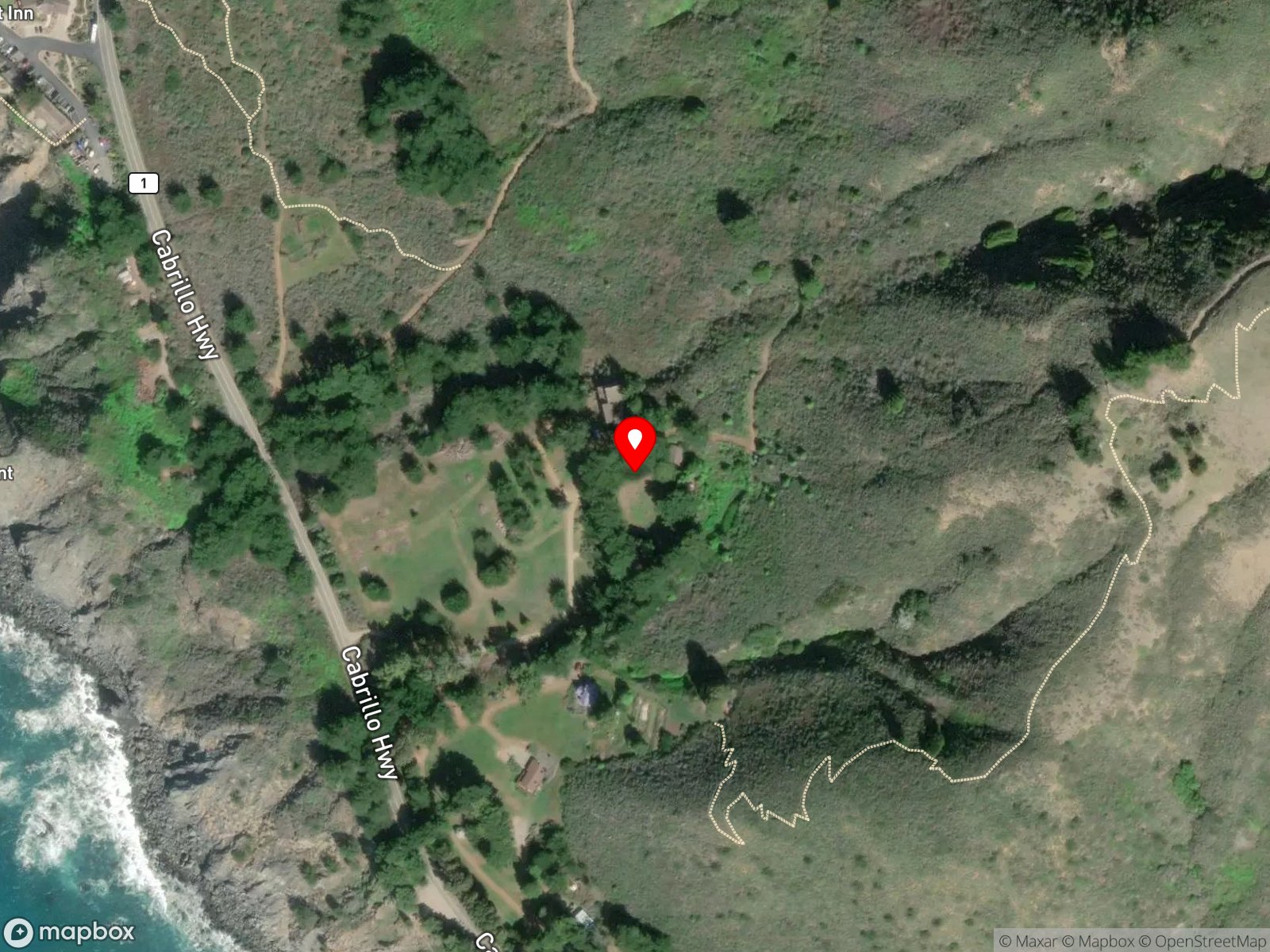
About Ragged Point Beach
Ragged Point Beach is the northernmost public beach in San Luis Obispo County, just inside the SLO–Monterey county line on the southern edge of the Big Sur coast. The beach sits at the base of a roughly 400-foot bluff below the Ragged Point Inn, walled by sheer cliffs on three sides and open to the ocean on the fourth. Access is on foot, by the Black Swift Falls / Cliffside Trail, which descends about 1.2 miles round trip with 400 feet of elevation change and passes Black Swift Falls partway down. The trail can close in wet conditions when the descent becomes hazardous.
Cobble and exposed rocky structure run along the cliff base and into the water, making the pocket beach a rocky reef biome. The narrow stretch where the swell meets the outer rocks and breaks across the cobble shore is the surf zone biome.
Hiking the trail down and back is the main reason people come here. Wildlife viewing is common from both the bluff and the beach, with migrating gray whales passing in winter. The long carry of gear up and down the cliff trail, combined with the small beach footprint, keeps snorkeling, scuba, hook-and-line fishing, and spearfishing all uncommon, and the steep descent keeps surfing rare.
Free parking is available at the Ragged Point Inn lot above the trailhead. Spaces fill on summer weekends. Hook-and-line fishing and spearfishing are legal here under standard California regulations.

Rocky Reef
The rocky reef biome is bare rock, boulder, and cobble structure without a kelp canopy above it. The hard relief and its crevices shelter invertebrates and reef fish, and the structure concentrates life that the surrounding sand cannot hold. Learn more about this biome and the species found in it by clicking the link below.
Learn more in the Biome Glossary
Surf Zone
The surf zone biome consists of sandy beaches and breaking waves. The action of surf disturbing the sand and kicking it up exposes marine invertebrates, buried in their shallow dens. This natural exposure of invertebrates attracts all kinds of fish, looking for an easy meal. Learn more about this biome and the species found in it by clicking the link below.
Learn more in the Biome GlossaryTarget Fish Species
Nearby beaches
Gain the Power
of the Oracle.
Ocean Oracle sees the future. Get 7-day visibility forecasts for every beach, plus alerts the night before clarity peaks — so you never miss a prime day.
Free shows you what the ocean looks like today. Ocean Oracle shows you the week ahead and the fish waiting for you down there.
Visibility predictions for the entire week ahead at any beach. Plan dives, schedule charters, book trips — without guessing.
The night before any beach hits prime conditions, Ocean Oracle pings your phone. Wake up knowing exactly where to go.
Track your favorite beaches in one place. Forecasts and alerts for everywhere you dive.
For every beach: what species are there, when they show up, and how to target them. Built by spearos, for spearos.
See the future. Dive on the right days.