
Hazard Canyon Reef
San Luis Obispo · San Luis Obispo County · California

Did you dive today?Please share the visibility to make our algorithm more accurate.
Report visibilityToday's forecast
Updated 10:00 AM PT today · July 28, 2026Dawn is the clearest window — onshore wind picks up by late morning and surface chop stirs the bottom through the afternoon.
7-Day Forecast
Map · getting there
35.305° N · 120.877° W
About Hazard Canyon Reef
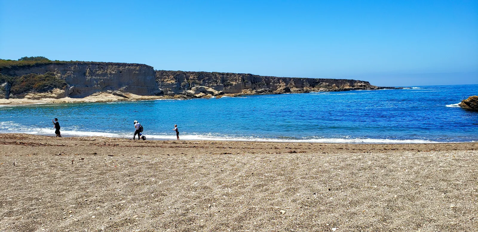
Hazard Canyon Reef is a rocky intertidal shelf at the mouth of Hazard Canyon, on the north side of Montaña de Oro State Park. The canyon cuts inland from the coast as a steep wooded ravine, with a small creek running through it to the beach. The trail to the reef descends roughly one mile from the parking pullout, including a long wooden stairway and an extended boardwalk that carries hikers safely down into the mouth of the canyon. The reef is widely regarded as one of the better tide-pool destinations on the central California coast.
The wide intertidal shelf of exposed rock, with deep tide pools and narrow surge channels extending into the water, makes the reef a rocky reef biome. The narrow strip beyond the shelf, where waves break against the outer edge, is a surf zone biome.
Tide-pooling at minus tides is the dominant activity, and wildlife viewing along the canyon and the bluff above is common, with harbor seals on the offshore rocks and shorebirds in the canyon. Calm low tides are the only safe window for entry. Waves on a swell or rising tide wash across the shelf and have swept visitors out to sea, and the kelp and algae on the rocks are slick and contribute to falls. Between the long carry of gear and the reef's exposure, snorkeling, scuba diving, hook-and-line fishing, and spearfishing are all uncommon.
Parking is a small dirt pullout on the north side of the Montaña de Oro entrance road. The descent through the stairway and boardwalk takes roughly 30 minutes one way. Hook-and-line fishing and spearfishing are legal under standard California regulations.

Rocky Reef
The rocky reef biome is bare rock, boulder, and cobble structure without a kelp canopy above it. The hard relief and its crevices shelter invertebrates and reef fish, and the structure concentrates life that the surrounding sand cannot hold. Learn more about this biome and the species found in it by clicking the link below.
Learn more in the Biome Glossary
Surf Zone
The surf zone biome consists of sandy beaches and breaking waves. The action of surf disturbing the sand and kicking it up exposes marine invertebrates, buried in their shallow dens. This natural exposure of invertebrates attracts all kinds of fish, looking for an easy meal. Learn more about this biome and the species found in it by clicking the link below.
Learn more in the Biome GlossaryTarget Fish Species
Nearby beaches
Gain the Power
of the Oracle.
Ocean Oracle sees the future. Get 7-day visibility forecasts for every beach, plus alerts the night before clarity peaks — so you never miss a prime day.
Free shows you what the ocean looks like today. Ocean Oracle shows you the week ahead and the fish waiting for you down there.
Visibility predictions for the entire week ahead at any beach. Plan dives, schedule charters, book trips — without guessing.
The night before any beach hits prime conditions, Ocean Oracle pings your phone. Wake up knowing exactly where to go.
Track your favorite beaches in one place. Forecasts and alerts for everywhere you dive.
For every beach: what species are there, when they show up, and how to target them. Built by spearos, for spearos.
See the future. Dive on the right days.